
wxmanmitch
-
Posts
2,087 -
Joined
-
Last visited
Content Type
Profiles
Blogs
Forums
American Weather
Media Demo
Store
Gallery
Posts posted by wxmanmitch
-
-
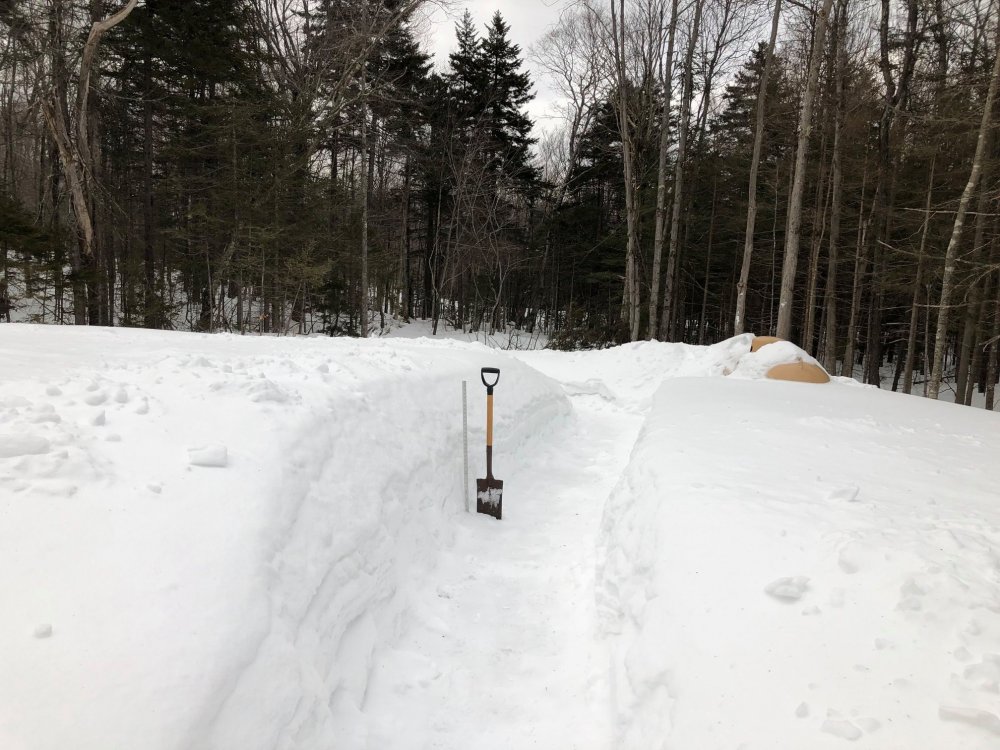
I went back into my photo archives and found this shot I took exactly a year ago today. I then went out and took a shot of the same spot this year. What a difference!

-
 3
3
-
-
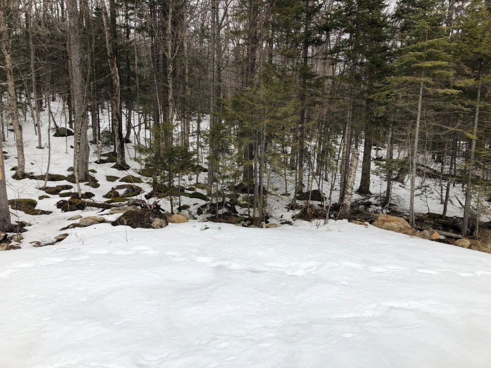
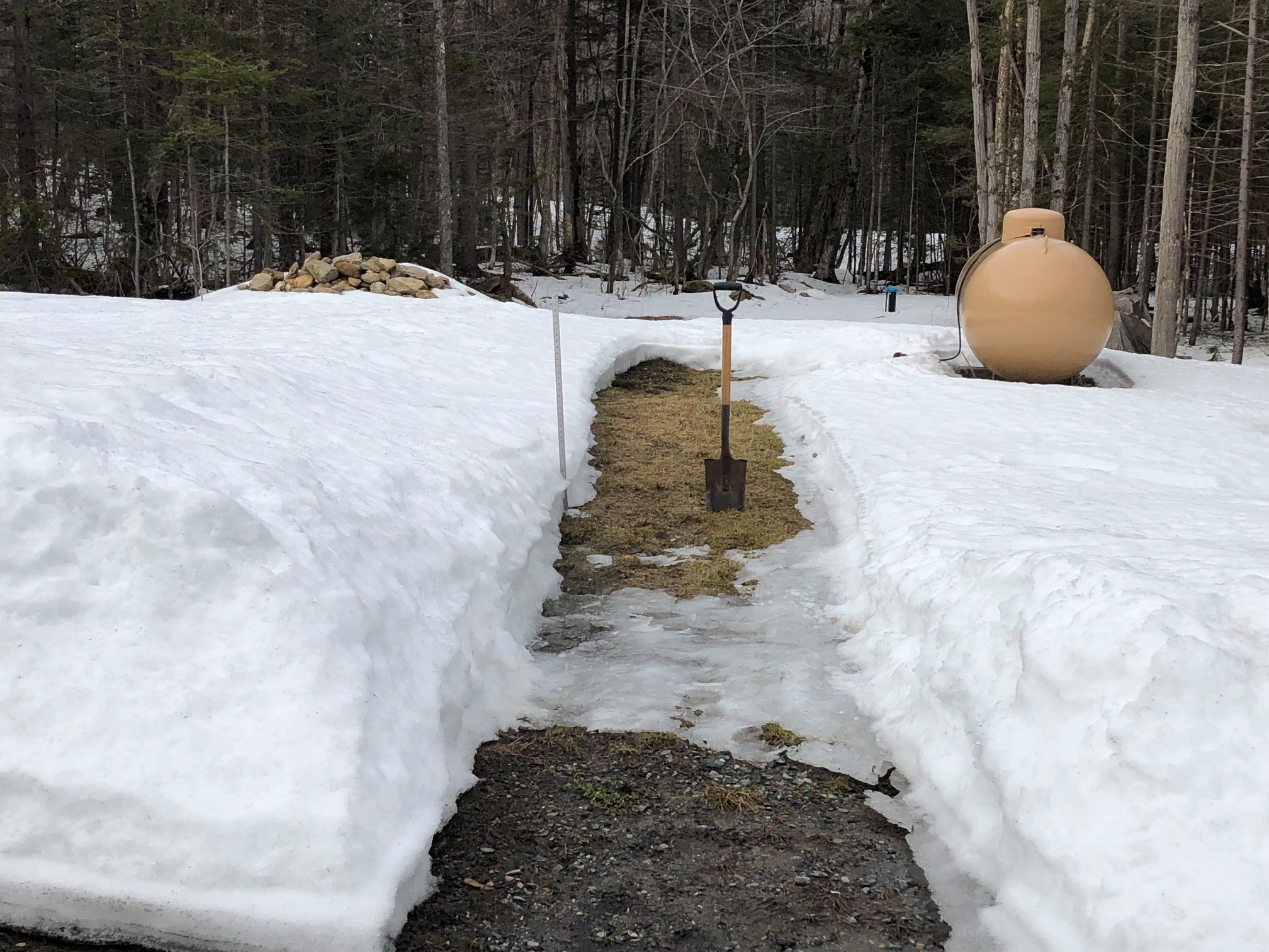
There's no green grass to be had in this Stamford. I list Heartwellville (a section of NW Readsboro) as my location since it's the closest CDP, but I'm technically in the town of Stamford just west of the town line with Readsboro. It's kind of weird since I have a Readsboro mailing address, zip code, and phone number, but my taxes go to Stamford.
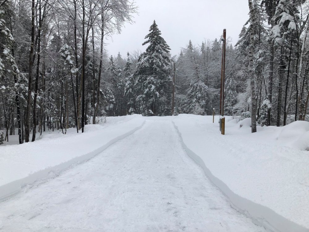
Anyway, there's still 15" at the stake. Some of the shady spots are about 20". The sunnier southern exposures are definitely thinner though and the rocks are now exposed there as they absorb and retain heat much better than the ground does.
We are definitely about a full month ahead of schedule compared to last year and about a month and a half ahead of 2018. I may have totally bare ground by the 1st of April this year.

-
3
-
 1
1
-
-
5 hours ago, tamarack said:
Aroostook (The County" is 6,400 square miles, larger than CT+RI, and any area of that size will have many characteristics. My impressions, from living there 10 years and many subsequent work visits:
South, basically S and E of I-95: Resembles Downeast Maine - soils, topography, timber types - more than it does the rest of Aroostook.
East, the US 1 corridor and nearby: Midwest vibe, due the high proportion of farmland. Potatoes are no longer king (still crown prince) with increasing acres in broccoli and other crucifers, and small grains. Best place in Maine, perhaps the Northeast, to experience ground blizzard whiteouts.
North/Northeast, the St. John Valley: Francophone country, with many/most having French (North American version, sneered at by Parisians) as their first language. Allagash Village is the exception, as it was settled by Scotch/Irish folks who had previously emigrated to Nova Scotia. Very picturesque mix of farms and forest.
West/Northwest: 4 million acres of commercial forest and unspoiled lakes/streams, probably the largest private (mostly) tract of forest land w/o public roads in the lower 48. One of very few places in the L-48 which can host a 250-mile dogsled race.
I find the Midwest vibe you speak of a little surprising, but I guess it makes sense if it's flat and suitable for farming. Although the growing season at that latitude must be really short.
N ME is fantastic for synoptic snowstorms and a nice long winter season owing to it's high latitude, but must not that good for orographic type snows like I get here without mountains. They can get snow and mix events there while we're torching into the 60s and 70s.
The Champlain Valley here in VT is the only other place in New England that might have that Midwest vibe, but even there you still have the backdrop of the Green Mountains in the distance to the east.
-
56° F for the high today. The melt continues.

Meanwhile it's a glorious 22° F in Fort Kent, ME with a WWA for 2-4" of snow and some freezing rain. Wish we were there.
What's up in the crown of Maine as I've heard it called? Never been up in "The County" so I've always wondered about it. Some utopian Oz-like metropolis? I've been as far up as Baxter State Park area.
-
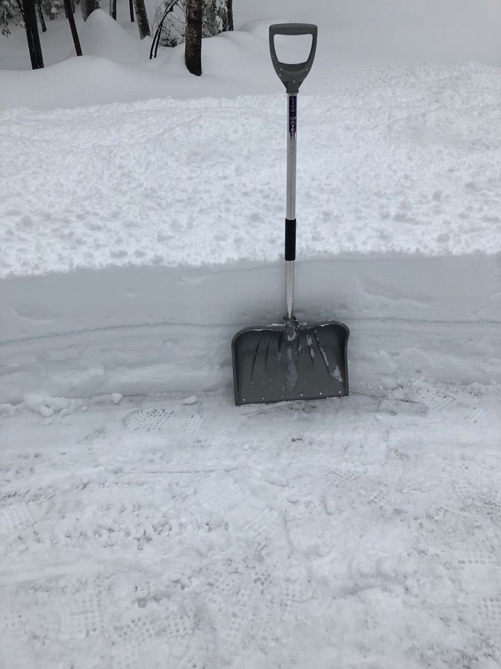
Looks like about 2" of fluff out there to freshen up my mehriffic 12-24" (18" average) pack.
-
14 minutes ago, Ginx snewx said:
Man what a crush job on the 18 Z GFS
.thumb.png.5870fde900e79639f6833f222a25092e.png)
Not quite where I'd like it to be for VT, but the trend the past 24 hours has been encouraging. Yesterday's 18z GFS had pretty much nothing in S VT. N NH and interior ME look great.
-
What's with all of this silly spring fever? There's still 2 feet of snow in the yard and there was negligible melting today thanks to the low dew points and a high of 39° F. I won't be in spring mode for at least another 2 or 3 months.
Hoping I can pull a net gain this week too, but I need the secondary to deepen a little quicker than currently modeled or else it's just a garbage mix and/or cold rain with some backside snow showers. The Whites and Mahoosucs look best right now.
-
1
-
 2
2
-
-
A little late to update after the past event due to a Macbook battery replacement (I keep all of my snow info in a spreadsheet), but I'm at 100.5". I guess that puts me in the century club!

Depth is ~25".
I was at 102.8" on this day last year with just over a two foot depth as well. It's amazing how similar this winter is compared to last year. Both had a big post Thanksgiving snowstorm followed by an abundance of SWFEs. Last year was a little colder overall though, especially January, and was snowier up north relative to average. Please correct me if my memory is wrong though.
-
Back to freezing rain again. Got another 1.8” for a 5.3” storm total. Not a bad event considering I wasn’t expecting more than 2-3”.
-
2
-
-
3.5” as of 4 pm. Probably a few tenths more than that by now. Moderate to heavy snow now. It changed to freezing rain briefly before heavier precipitation moved back in. It went to sleet/snow mix and now back to straight snow.
-
Pounding snow here now. Easily 1/4 mile and heavy snow. Typical SWFE snow, so ratios aren’t that good. Currently doubting a lot of the guidance that has me going to straight rain this afternoon. 19.8° F. I bet I go to freezing rain, but not plain rain. Never underestimate the power of cold highs.
-
3.7" which melts down to 0.68" liquid, yielding a slightly greater than 5 to 1 ratio. There was some sleet and the snow was dense. HRRR and 12 km NAM did a good job with QPF forecast, 3 km NAM overdone as usual. All of the models did a decent job with the mix/snow line, but the 00z suite last night was ever so slightly too cold since it was keeping the line closer to the VT/MA border. Probably within the realm of model noise though since I'm only 5.5 miles north of the state line. Regardless, the model snow maps were awful, both 10:1 and Kuchera.
FYI, Monday's event yielded 1.02" of liquid from the 9.0" of snow.
-
1
-
-
3.5" of snow and sleet. Underachiever.
-
You're definitely going to need to play with fire to win with this one. Higher QPF is south where there's more mix and rain, lower QPF to the north where it's all snow. Hard to tell exactly where the best overlap is between the max QPF and <= 0° C thermal profiles, but it's either right over me or just to the north. Very close. Backedge up in Manchester looks to be in a slightly better position than I from the looks of it right now.
If I stay mostly or all snow, I could easily get another 6"+ event.
I could see it go either way here: 6-8" of snow that ends as a bit of freezing drizzle or 2" of snow that quickly goes to sleet/freezing rain. Models are showing that local QPF max over the southern Greens again; it's just a question as to what it falls out of the sky as.
-
1
-
-
Up to 89.6" for the season. The next event should definitely get me into the 90s.
-
2
-
1
-
-
9.0" grand total here. Nice event and the biggest since early December. It was the little SWFE (or, more succinctly, the WSWFE) that could. Depth is at around 22". Note the ice layer from last week's ice storm in the snow blower cut.
-
3
-
-
Just pounding here. Looks like 5-6" of new snow, and radars look great upstream. Maybe I pull a foot out of this?
-
1
-
 1
1
-
-
00z HRRR and 3-km NAM give my hood a bit over an inch of QPF, wow! HRRR ends it as a bit of light rain tomorrow midday after a solid 8-10" dump, but I find that the HRRR tends to be a little warm here at the surface a lot. The 3-km NAM does a better job with the thermals, but the HRRR tends to be more realistic with QPF as the former loves to over forecast QPF over the mountain peaks. The HRRR sometimes does too, but not nearly to the extent that the 3-km NAM does. The NAM gets me to 33° F briefly tomorrow around 21z, whereas HRRR gets me to 37° F. I may not even crack 32° F.
I can do well with SWFEs that stay snow and feature a mean wind flow that's a bit west of SW in the 900-600 mb layer as that direction provides a greater cross barrier component across the southern Greens. If it's more south of SW, the southern Adirondacks tend to do better while I get skunked.
I'll set my over/under at 6". Lets see how I do.
I had 0.6" of fluff today on 0.03" of liquid.
-
Just pounding right now in the tail of the comma head. Easily 1.5-2" per hour with 2-3" new OTG! Likely a strong orographic response assisting the snowfall rates as well.
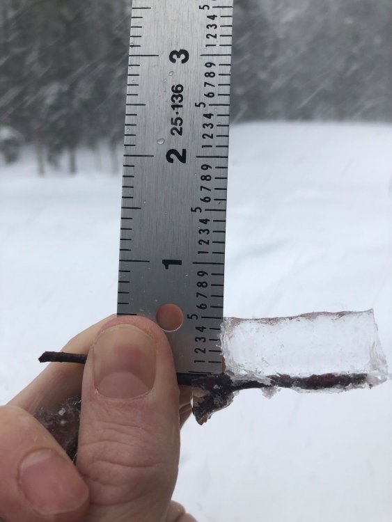
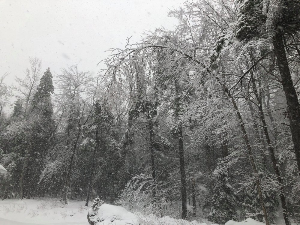
I had 1/2" of ice accretion so the trees are creaking and stressed in the increasing wind. Temperature briefly spiked to 32.1° F as changeover to snow was occurring around 2 PM.
-
2.0" of sleety snow that is now crusted over, 26.7° F. Expecting at least a moderate icing event here over the next 24+ hours.
-
The overrunning threat for mid to late next week should be much easier for the medium range models to handle compared to this weekend's fiasco since we're not trying to deal with the interaction between multiple shortwaves. Obviously details such as front placement and precip type are TBD, but my confidence for a long duration significant QPF event in the 6-9 day range is quite high and I think someone (most likely NNE right now) cashes in.
-
1
-
-
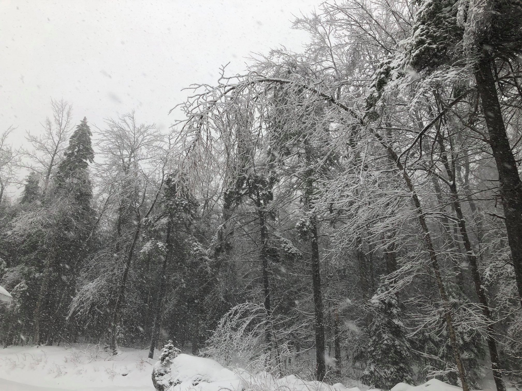
Shocked to see how warm it is outside of them thar hills. Been hovering 29-30° F here all day with off and on snow/graupel showers. Still about 10" of pack on the ground. The cold rain and sleet yesterday did nothing to it except to harden it.
About as good of an upslope signal as I've seen all season on the meso models for tonight and tomorrow, even down here. Hoping for a few inches. Beggars can't be choosers this winter.
-
1
-
-
54 minutes ago, LongBeachSurfFreak said:
Back over to moderate snow svt. Ended up being a much more frozen event then expected here. I wonder if it has to do with the strong lift and greens
Any accumulation? Just a slight coating of sleet here at 2,230' so there was some frozen mixed in with the rain. Route 100 was a little greasy above 1700 or 1800'. Doesn't look like we lost much if any snow depth.
-
The models aren't going to have a clue for at least several days. Heck if they can't nail something down 3-4 days out, how can we expect them to correctly forecast something 7+ days out?
I am actually beginning to think medium and long range models are doing more harm than good for the weather community. I'm tired of fantasy solutions and the resulting hype spreading like wildfire on social media. We should ditch running operational models altogether past 3 days in favor of an all ensemble approach and get back to the old school way of doing things more.
-
2
-

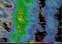
.png.cc16928f9b657deba8041a2a14e9985d.png)


March 2020 disc/obs
in New England
Posted
1.3" new. Plenty of room for social distancing here!
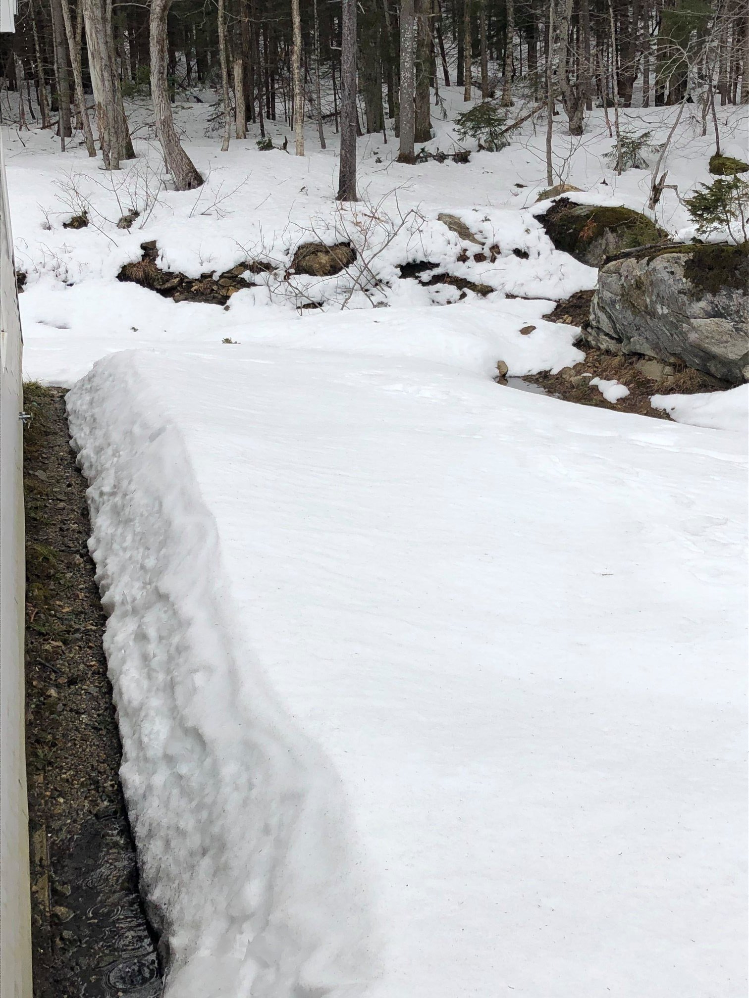
I've had this fox that like to climb atop one of the rocks behind the house and nap lately. You can see it in the second photo.