
wxmanmitch
-
Posts
2,090 -
Joined
-
Last visited
Content Type
Profiles
Blogs
Forums
American Weather
Media Demo
Store
Gallery
Posts posted by wxmanmitch
-
-
3.7" as of 5:15 pm. Just pounding snow and radar looks great upstream too.

-
 1
1
-
-
Dumping...+SN, ~2" new. Probably 1.5-2" per hour now. 17.4° F. It's go time!!!!
-
3.1" of slop from the great coulda, woulda, shoulda storm of November 2019. 1.5" on the front end overnight last night than a bunch of freezing rain and rain then back to another 1.6" of snow on the backside. Over an inch of liquid from this, so a little colder in the 800-900 mb layer and boom this would've been a solid foot of snow here.
5" depth on the ground.
-
2
-
-
Crap-o-rama looks to be en route here tomorrow. No cold high to the north, FTL. A month from now you can get away without a cold high to the north more often, but this early in the season it can be tough even here to get a good snowstorm without it unless if midlevel forcing is enough to dynamically flip things to snow. NAM is warm between 800-900 mb and Euro too although I can't see soundings from it. HRRR looks like isothermal pasting but it's still beyond it's useful range.
Freezing rain to wet snow is what I think here, 2-4". Hopefully the freezing rain won't accrete too much, but with heavy rain and surface temperatures at or just barely below freezing I don't think it'll be too bad as the water will drip off before it can freeze.
-
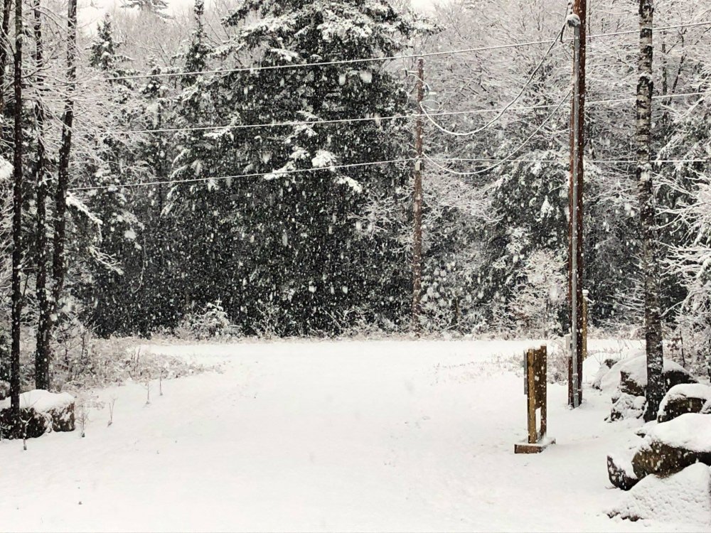
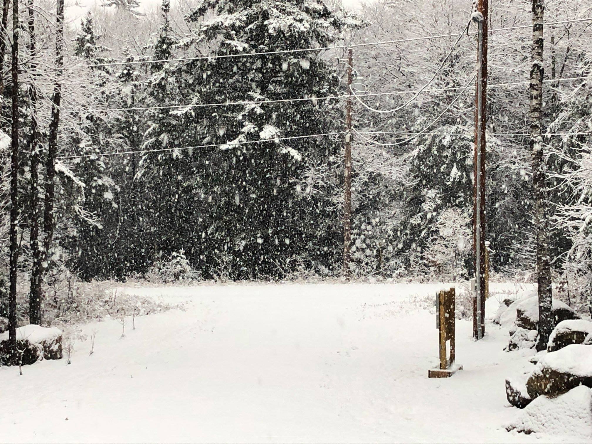
3.4" of wet snow this morning. Winding down now. Started as 0.4" of rain at 31-32° F, but it didn't accrete. Flakes were huge for a bit this morning as the best lift and snow growth came through. Photo from just before 8 AM.
-
4
-
-
2.7° F this morning. Absolutely glorious!!!
The radiators will really mount up tonight. Widespread subzero temps in NNE's cold spots tonight?
-
1
-
 1
1
-
 1
1
-
-
1.0" snow, 0.17" liquid equivalent snow and rain. Underachiever, but I wasn't expecting much to begin with. I may go down to near 0° F tonight, which is incredible for this early in the cold season.
-
1
-
-
Enjoy it up north folks. Maybe a get a couple of inches on the backside tomorrow morning, but this is not a S VT storm.
Watching the potential for some freezing rain down here later today and tonight.
-
1
-
-
1.4" total. Still some random flurries dancing around. Winter has arrived...

-
Steady snow and 32.6° F with a slushy coating on the grassy surfaces. It was cold rain occasionally mixed with mangled flakes much of the day, but it finally made the transition to all snow about an hour ago. 0.25" of rain before changeover.
-
Anything less than 100" is a ratter in my books. The ratter of all ratters in these parts was without a doubt '15-'16. I'll gladly take another '11-'12 any day over that year.
Last winter wasn't bad with ~150", but I would've happily swapped November for December. Novie was crazy, December stunk, January after the first week was okay, February and March meh at best.
-
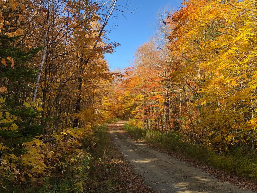
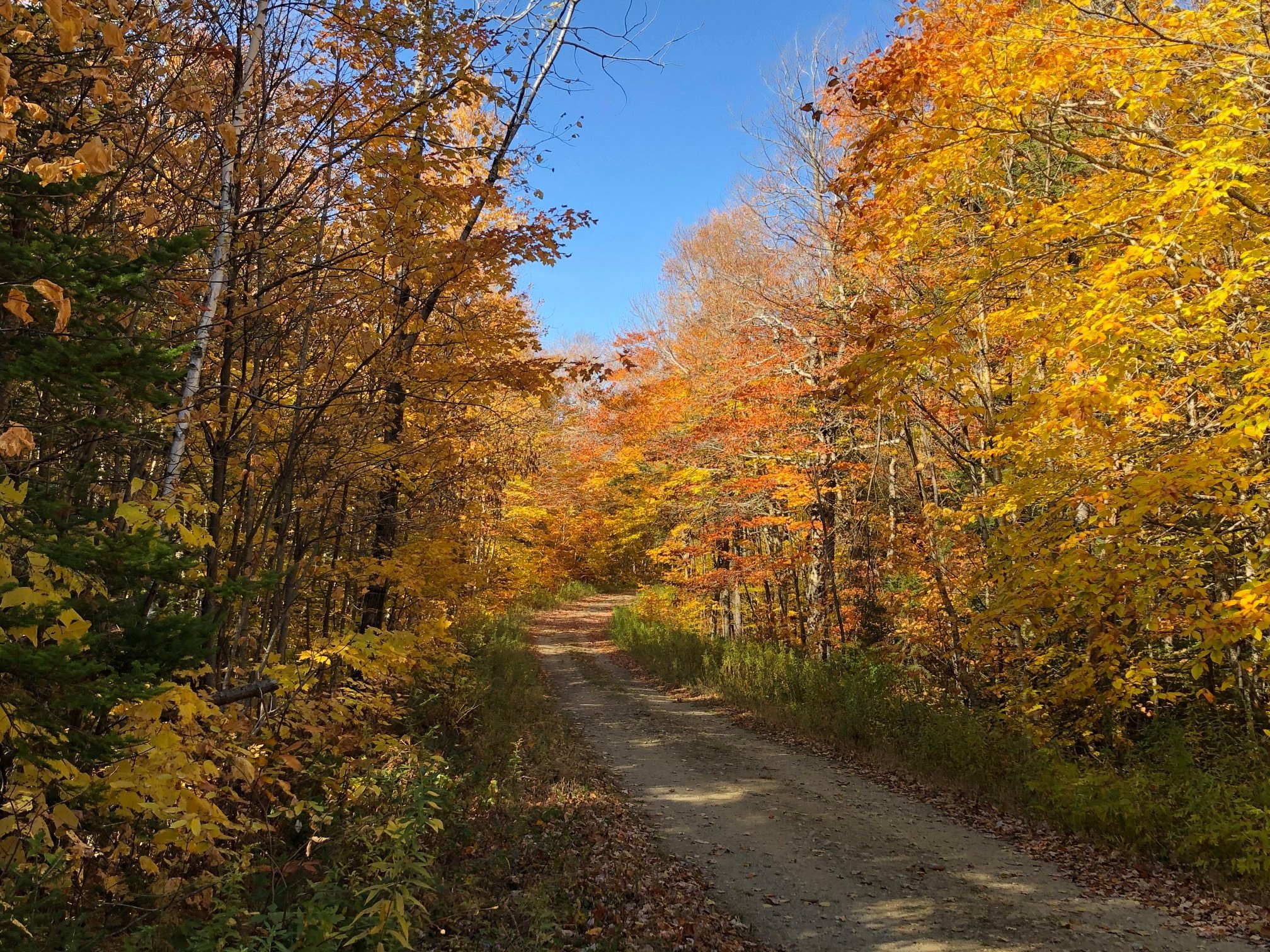
Shot this about a week ago on the lane beside my property before the big windstorm took almost all of them down. Just a few stragglers left now on the Beeches and Aspens.
The golden yellows of the Norway Maples are coming out in the valleys with the mostly bare hills all around.
-
1
-
-
1 hour ago, STILL N OF PIKE said:
Nam gives southern greens several inches over to Mitch at 2.4K
Sell. Maybe a slushy coating or an inch if it goes over to snow at all, which I'd consider a win this early in the season.
-
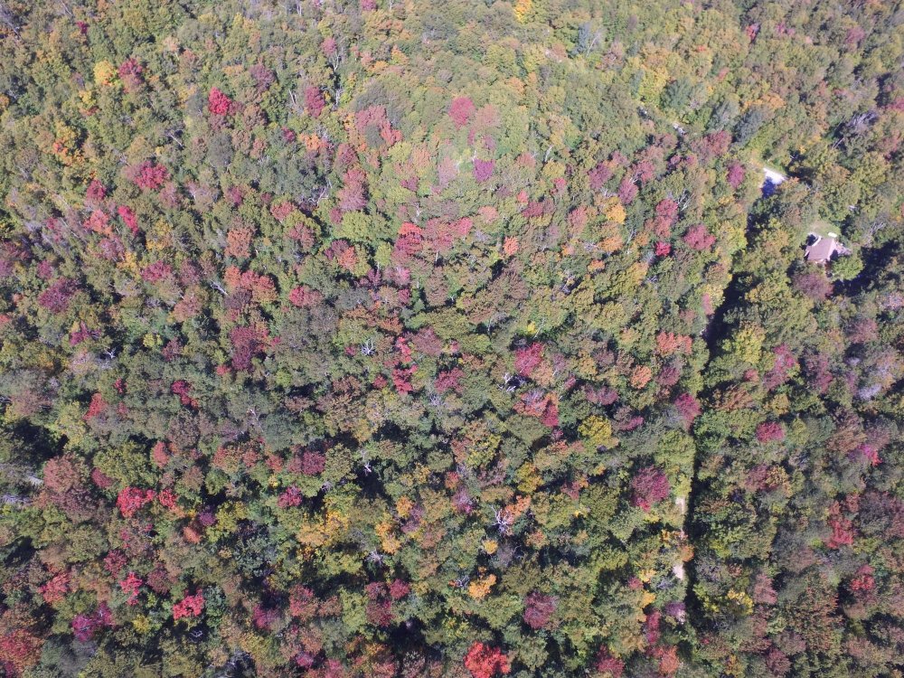
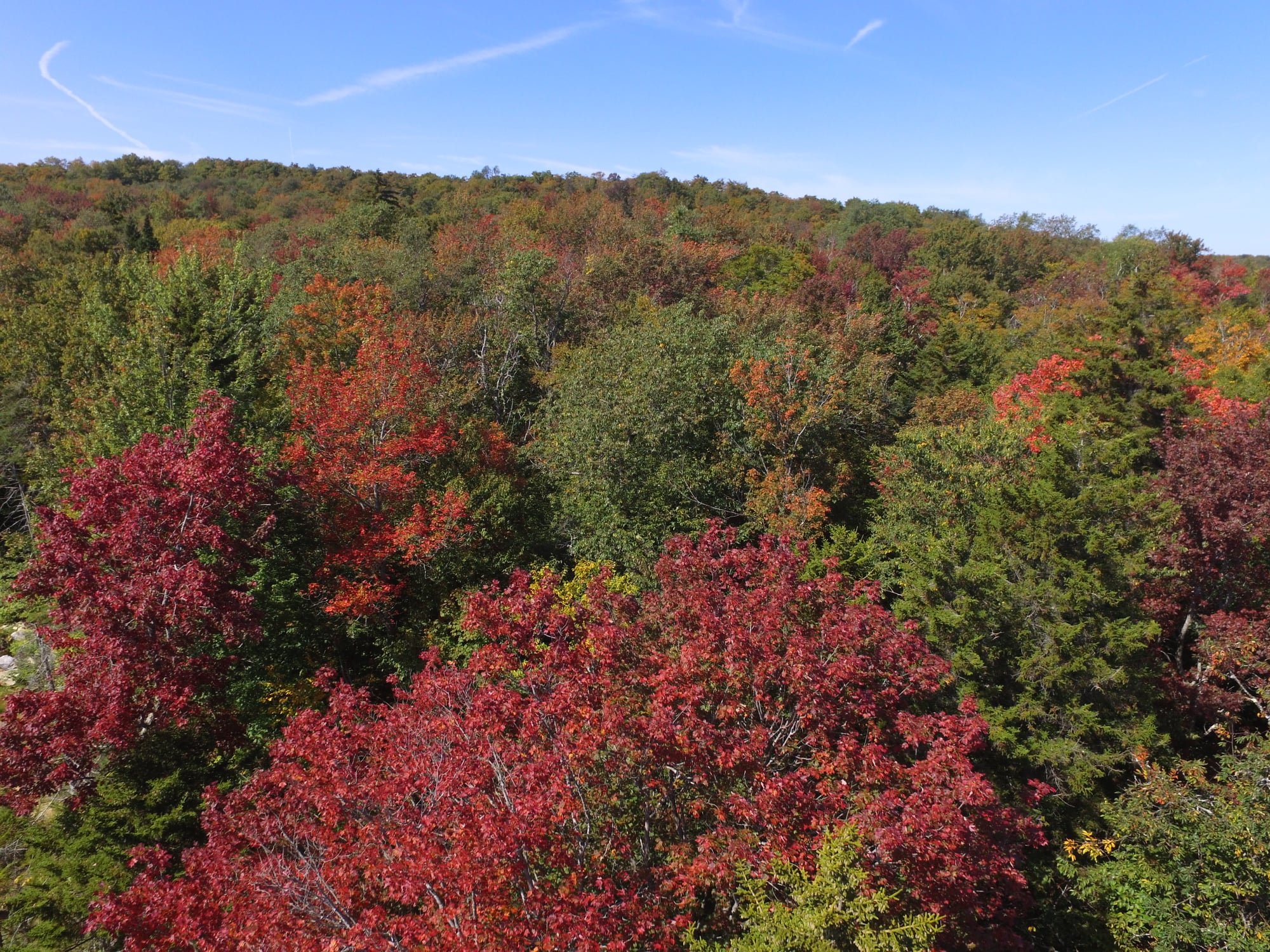
I'd say we're just about at peak here. Not sure what this talk about muted colors is all about, it's gorgeous here. Lots of reds and oranges again this year.

-
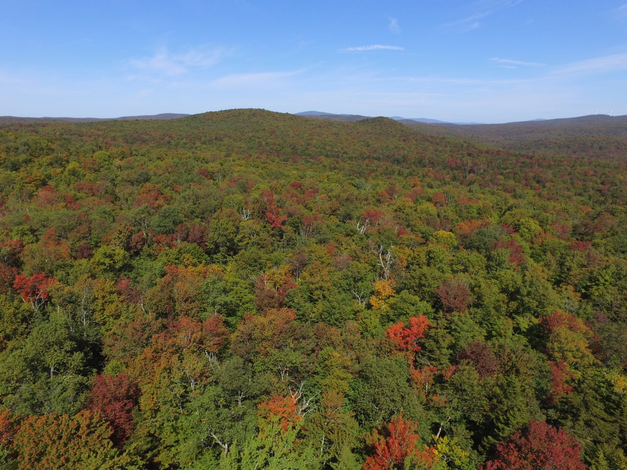
Almost peak here above 2K in S VT. Should peak within the next few days. Nice color, but still some greens while a few of my red maples are starting to go past peak already. Last year it seemed like everything changed at once and then dropped at once.


-
1
-
-
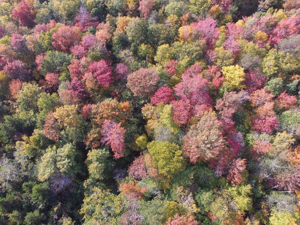
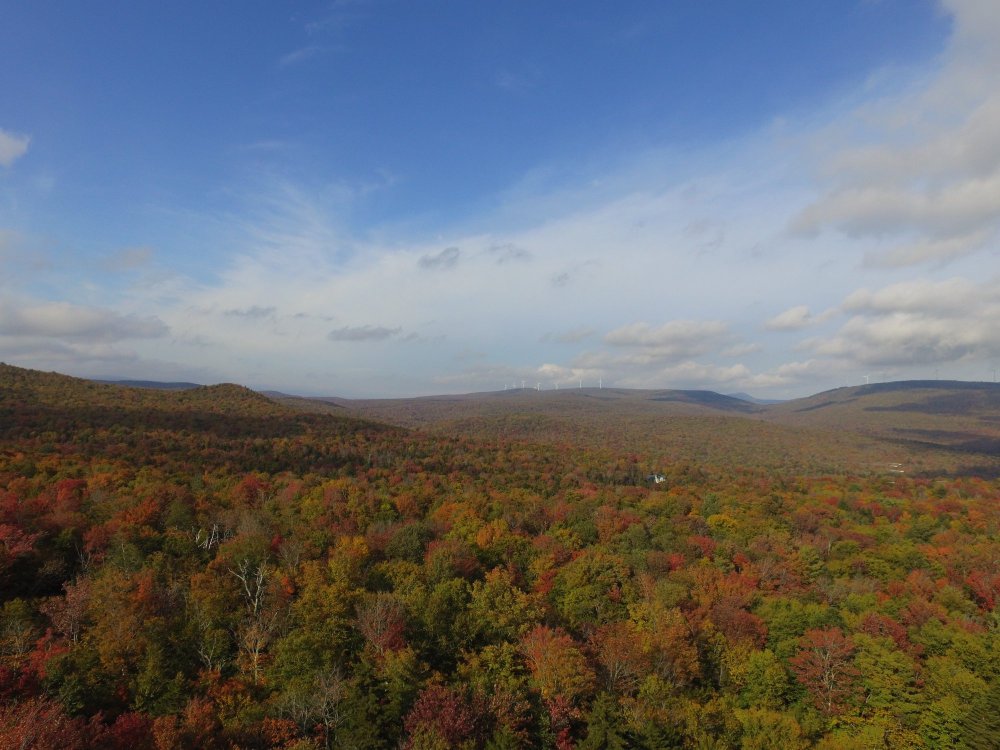
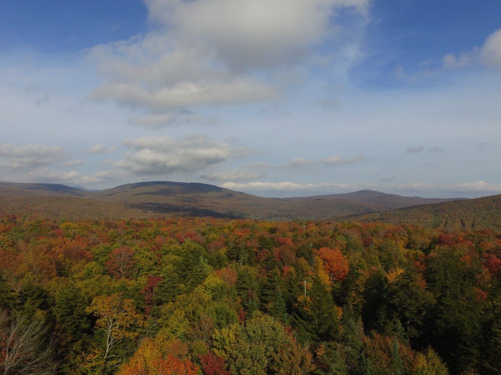
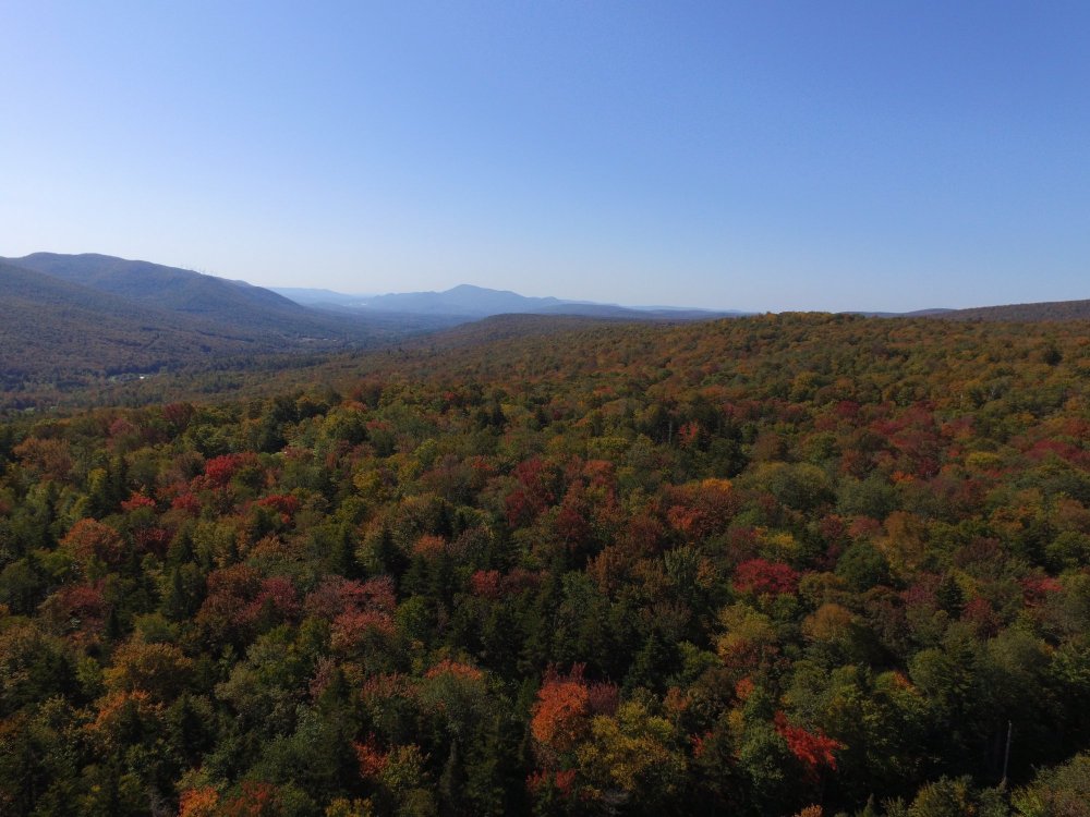
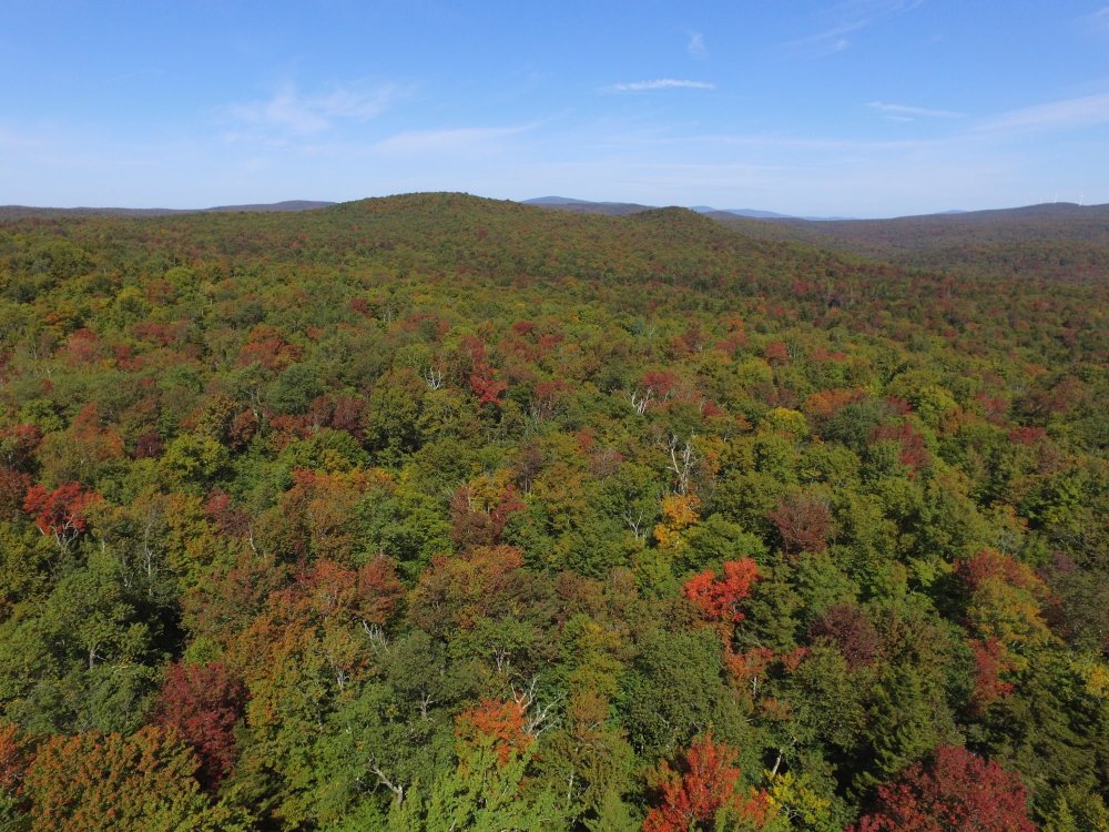
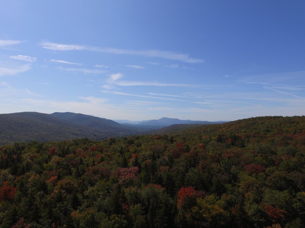
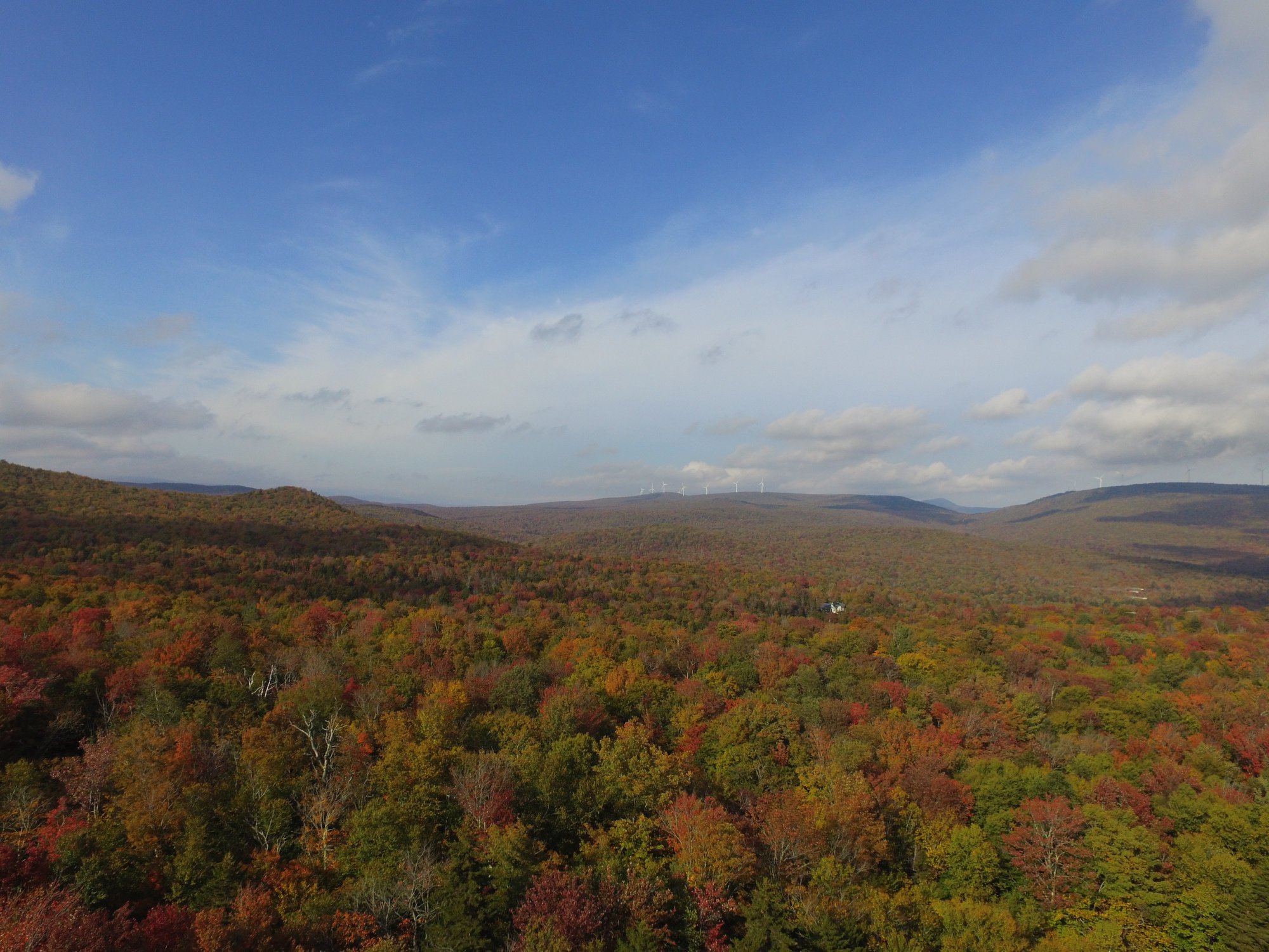
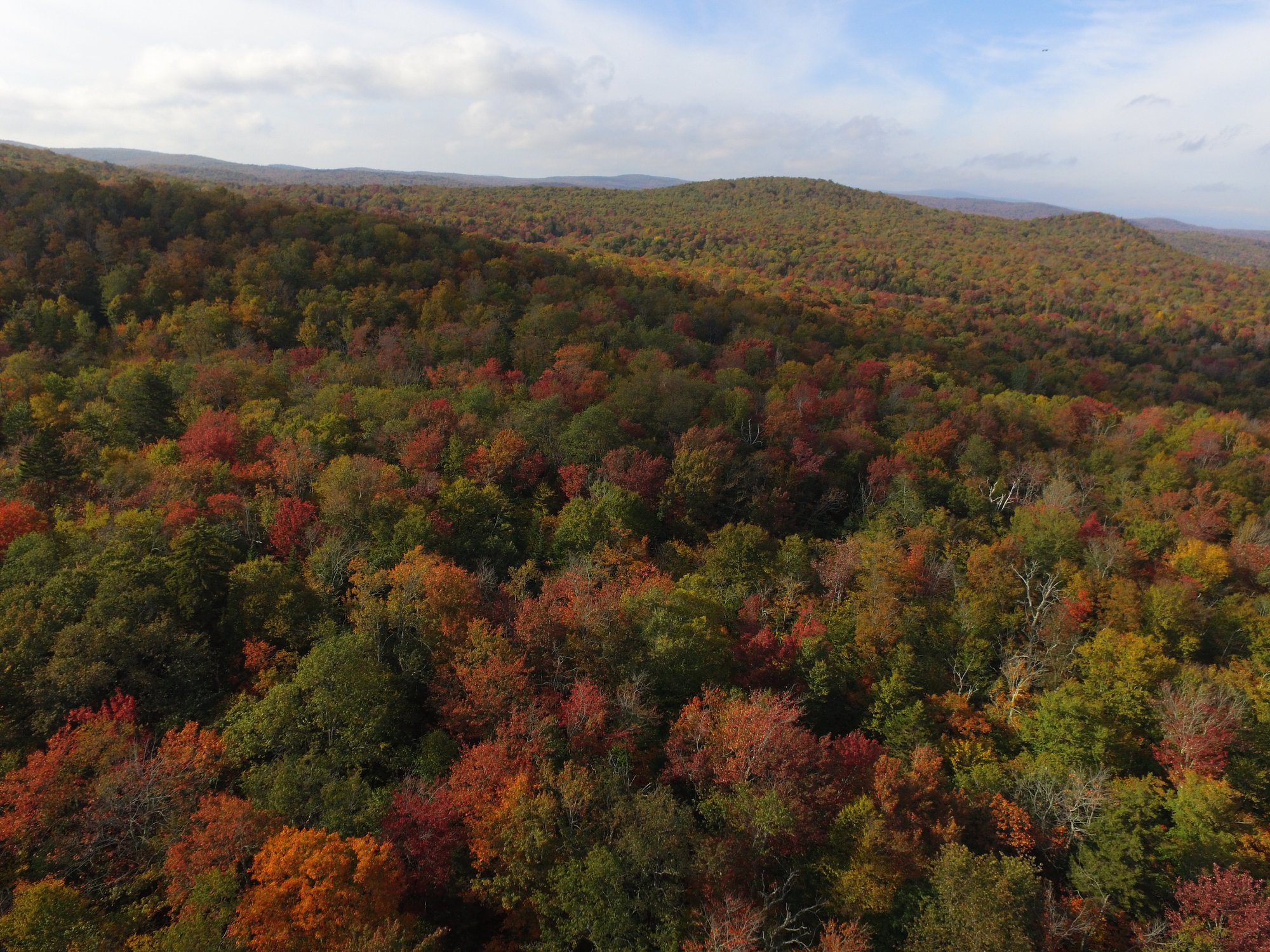
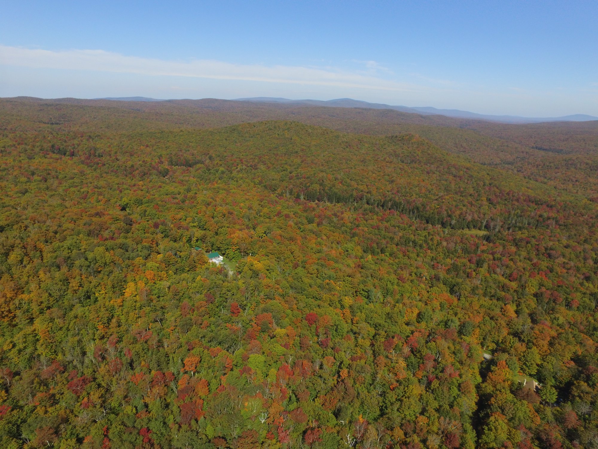
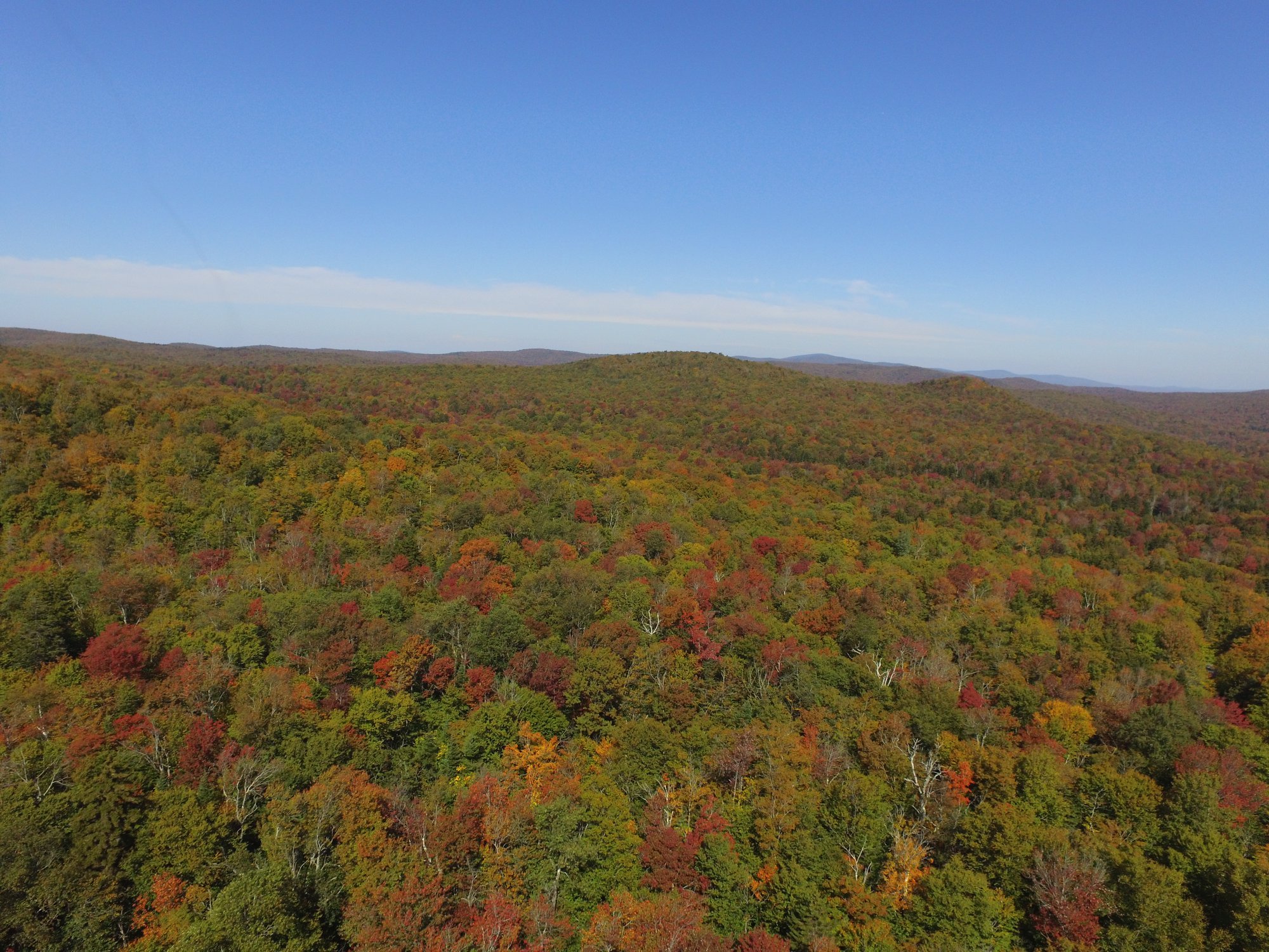
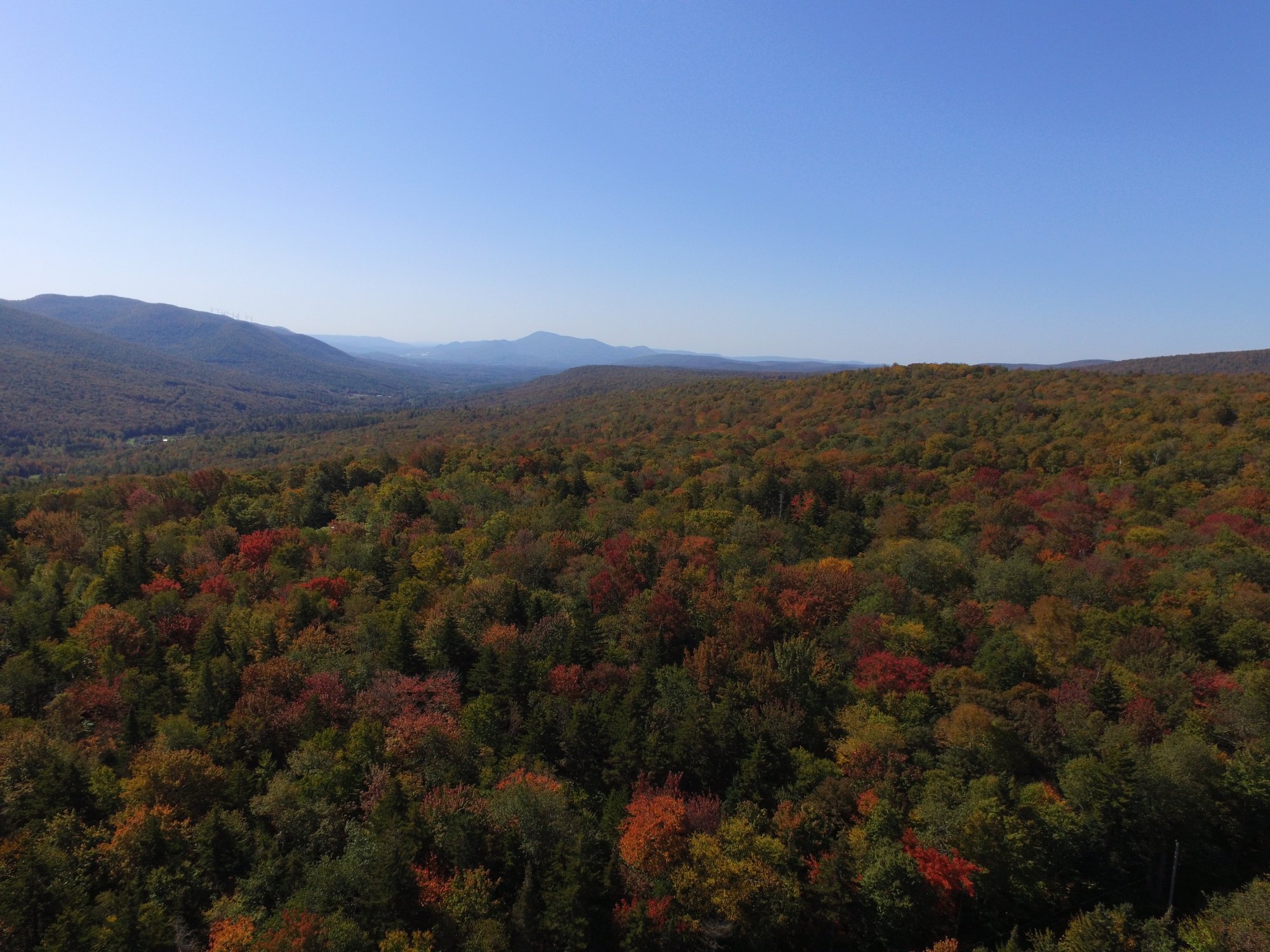
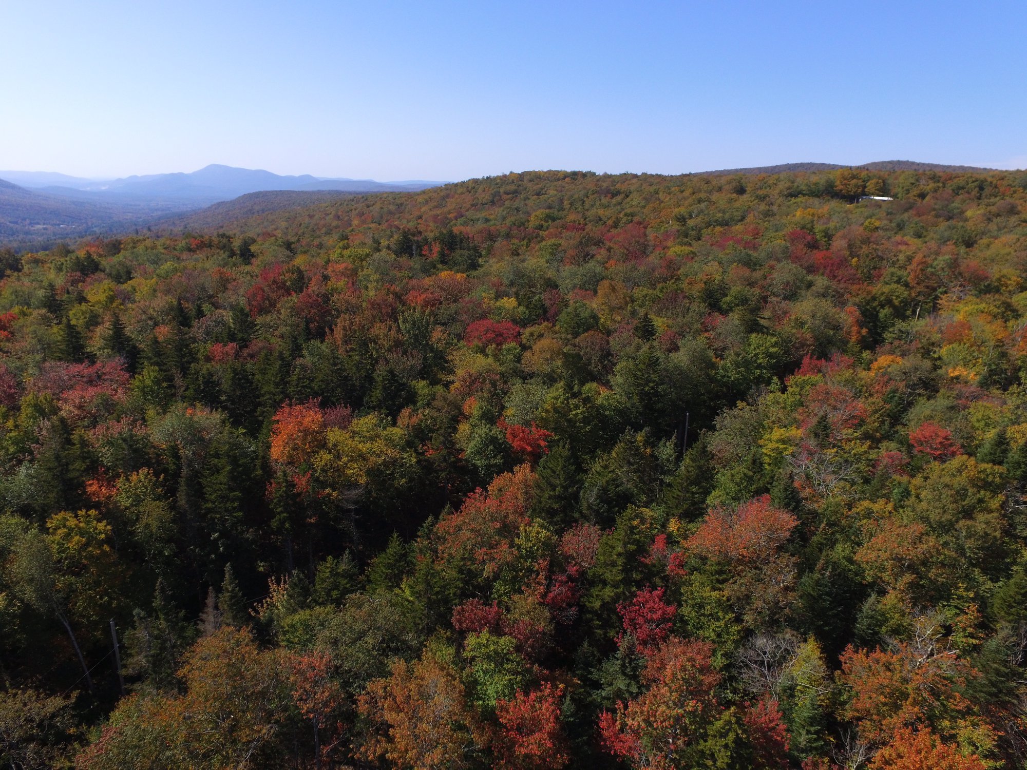
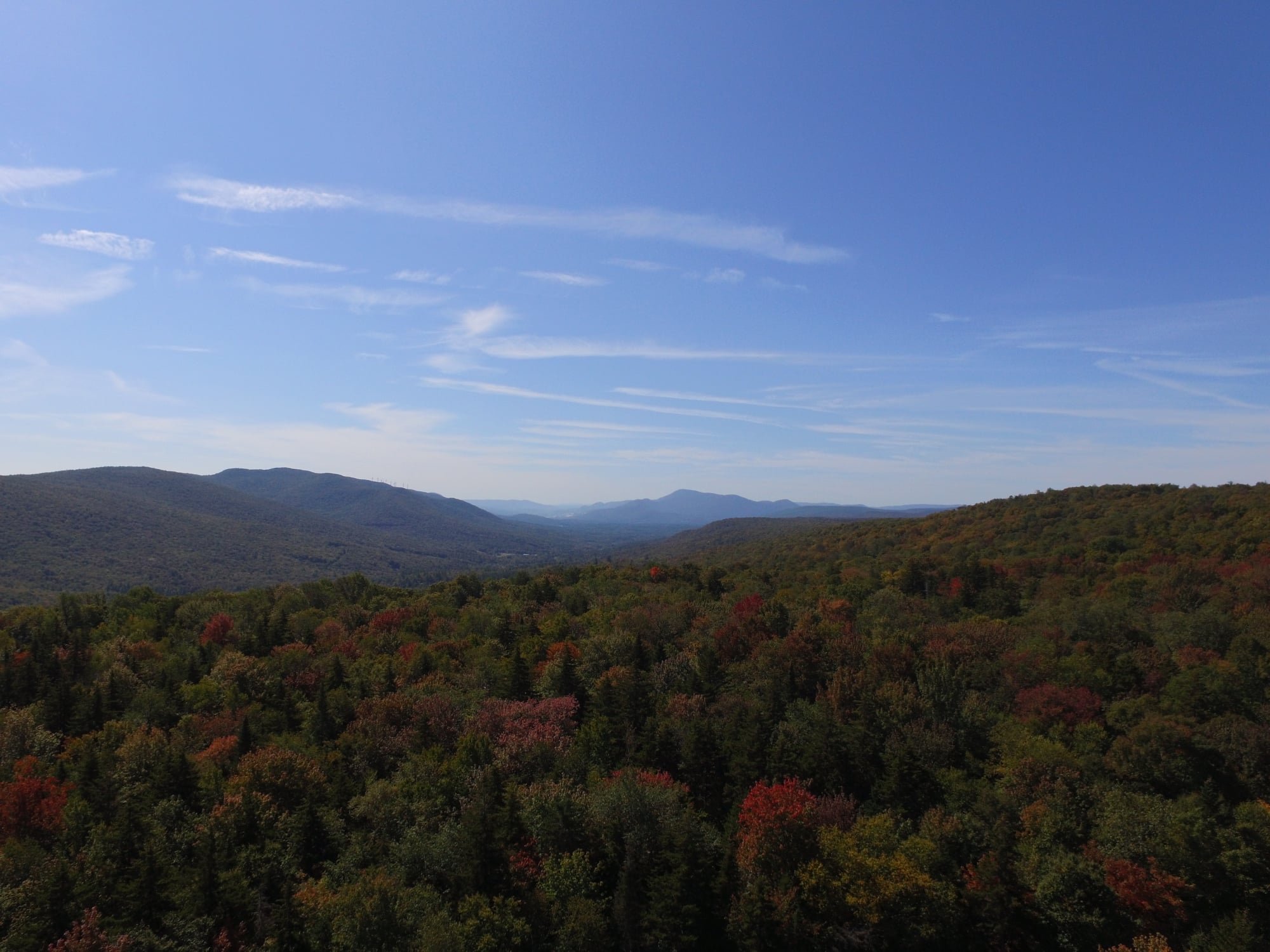
Full on moderate color happening here now. Lots of reds emerging. We're about a week ahead of last year at this time, which peaked October 5th-8th. Took these with my drone earlier today.

-
1
-
 2
2
-
-
4.5" of fluff on the board this morning. Not bad. Depth at my stake (in the shade) is 38-39".
It was sunny an hour ago, but now we're cloudy with some light snow grains that aren't showing up on radar. This is probably a weak orographic response on the backside.
Congrats to the SNE crew! This was supposed to be our storm 2-3 days ago, but you took this one right out from under our feet.
")
-
1
-
-
Solid moderate snow with dendrites, 25° F. Looks like around 2" new. Nice little 700 mb frontogenesis band FTW.
-
25.9° F, moderate snow. Good snow growth. The high was 29.4° F and the 0.6" I had from last night didn't really melt at all.
The radar looks decent. That band running through BGM may translate up here, which would be good. I still don't think I get much more than 4-5" though.
-
+SN, 23° F. 11" of upslope, 7" from the storm yesterday.
-
42 minutes ago, backedgeapproaching said:
I have seen every report they sent in over the past 3-4 years and quietly questioning the total validity of their numbers. I mean they are always just so outrageous in every single event, like every one. I figured being at the crest there benefits them a ton and it really is an uber weenie spot, but now with you close by you can kind of cross check.
Although Wilmington VT reported 20" over the past 2 days before anything today which falls kind of line with Woodfords-- before the upslope today.
If you do take their reports as accurate, they have had 93" in the past week or so, which is insane.
I do accept the higher totals from Wilmington over to Jacksonville, Halifax, etc. as they caught that band that I and Woodford narrowly missed yesterday. I don't always buy some of the WeatherNet6 reports, especially Woodford's. Sometimes Woodford's reports are more in line with totals around here, but other times they are not and this is one of those cases where it is most certainly not.
My two week total is ~80", so there's no way Woodford has had that in the past week.
-
8" of new upslope on top of the 7" from yesterday. Very light snow right now, but models have it ramping up again from around 03z to 12z, yielding another 0.5-0.75" of LE. Then it tapers to flurries and light snow showers tomorrow during the day before another round tomorrow night?
Snow growth has been kind of cruddy with lots of small rimed flakes and even pellets at times. Unlike a lot of these upslope events though, there's some good weight to the snow thanks to the deep moisture layer wrapping around our storm.
I'm not buying the 35" storm total report from Woodford. I drove through there today en route to do an errand in Bennington (which was almost a costly mistake as I pulled over to a parking area on the side of route 9 that hadn't been plowed in several hours to let someone pass and got stuck, but luckily I was able to weasel my way out of it). Yes, they have a lot of snow like I do, but I find it hard to believe that there would be a 20" gradient in less than 5 miles at pretty much the exact same longitude and similar elevation. They were west of the meso band that nailed areas just west of I-91 like I was and radar returns haven't been that much different there. Maybe they have a little more, but not 20" more.
Meanwhile Bennington had only about 2-3" that was melting in the March sun angle with temps near 32-33° F. I came back via Williamstown and N. Adams as 9 and 8/100 are tough.
-
Upslope machine is cranking. +SN. It doesn't look like much on radar, but trust me, it's nuking at least 1-2" per hour. Fine snow though. Will measure in a bit.
-
1
-
-
Snow has increased a little and skies have darkened as the remains of the I-91 band have pivoted back here.
Looking forward to what kind of backside upslope I can get. I'm a tad east of the spine axis, so I may not get quite as much as Woodford to my NW, but am close enough that I can do well as long as the flow isn't super blocked. We may upslope right through Thursday.


Happy Birthday Old Man Winter storm obs
in New England
Posted
7.5" as of 8:30 pm. Just getting nuked! Not good snow growth (10-12:1 type stuff), since DGZ is quite high from WAA.