moneypitmike
-
Posts
31,673 -
Joined
-
Last visited
Content Type
Profiles
Blogs
Forums
American Weather
Media Demo
Store
Gallery
Everything posted by moneypitmike
-
I thought it was a f240 map.
-
Just what you want 10 days out.
-
Pit 2 had a high of 75 at noon--it then dropped since to the current 51*. Back to the way spring is supposed to be in the Midcoast.
-
Enjoy!
-
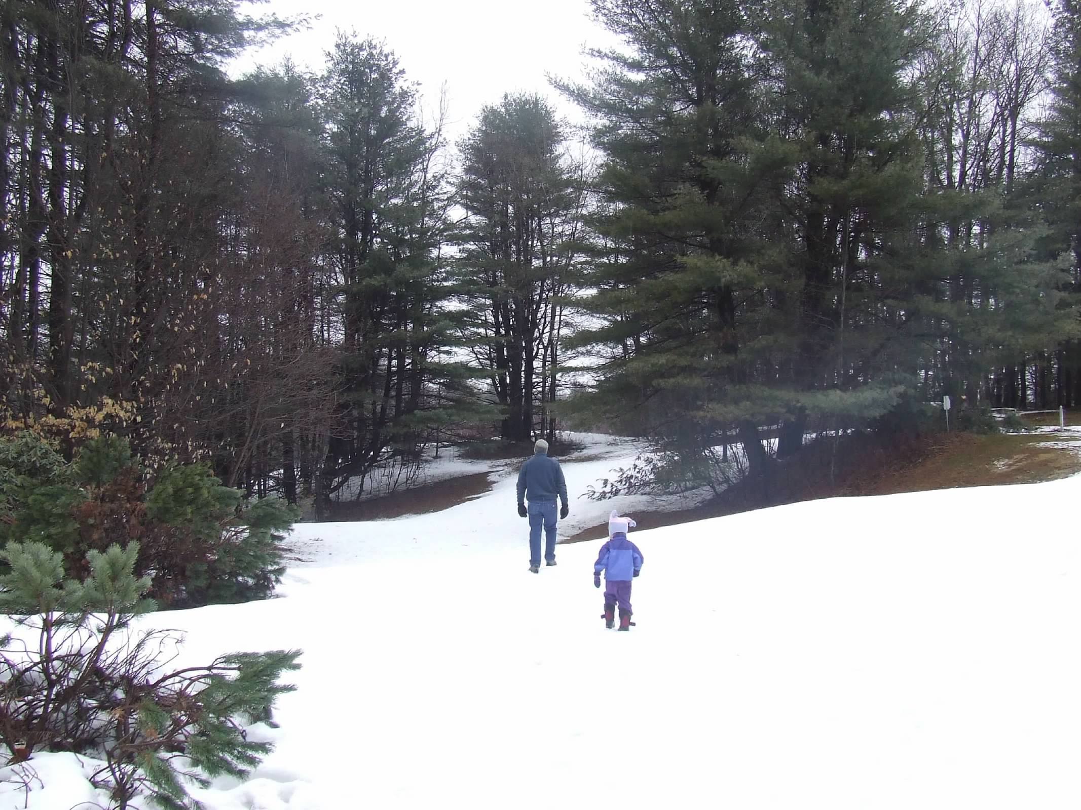
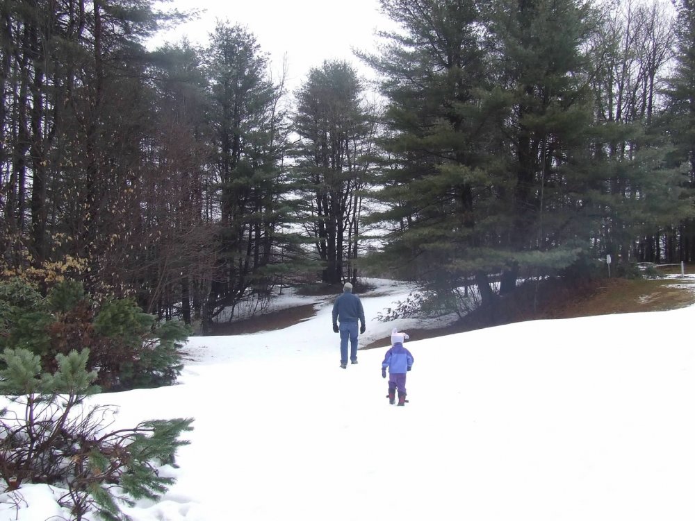
Here are a few remembrances from April 4, 2008--right after moving to GC. A bit of a different look.


-
The great Five Weenie Electrical Band
-
Despite the sun and 52* temps, the strong NW off the water are making this less than an ideal day. Still better than yesterday though.
-
Still sun through milky sky. Temp still up to 47* with a progged high of 54 though--we take.
-
Some here to your NE as well with the sun shining through them. I expect they'll dissipate quickly.
-
I saw 23* this morning--not sure if that was the low or now. Up to 36 now--already approaching yesterday's high.
-
Drove through a couple of brief--but pretty heavy--snow showers on the drive up to Pit2 last night. I guess that'll be the last reduced visibility due to snow until next season. We rest. We wait. 22*.
-
Man, today sure sucks.
-
Pretty much a no show here. ORH checking in with less than a quarter inch.
-
Did he used to live in Lunenburg?
-
Are you saying the HWW isn't warranted or am I mis-reading your post.
-
I wasn't expecting to see the issuance of a HWW.
-
Not warm enough.
-
Just lit mine as well. We're down to just a few days worth of wood though,, so while the need may be there for a while yet we'll be resorting to main heat soon.
-
The fact is there is a much larger margin of 'error' to result in a rain event than a snow event.. A storm tracking up the Hudson and one tracking through Cleveland are both going to be disasters. Move the storm off Nantucket we've got a winner. Move it 150 miles off that, you've got Chris enjoying Cirrus. Not winning. . 14. Maine > Taxes paid as pct. of income: 10.2% > Income per capita: $46,455 (21st lowest) > Income tax collections per capita: $1,166 (18th highest) > Property tax collections per capita: $2,055 (10th highest) > General sales tax collections per capita: $1,022 (17th highest)
-
Way off topic........but I was just looking at the distribution of NWS offices. Why does New England require 6 offices for forecasts? Compare that to California--it also has 6. Texas has 8. What's the rationale for these distirbutions?
-
Perfect timing for the Globe's water restrictions article yesterday.
-
Yeah--that changed once Romney got into office. I think we still give people the option to pay a higher rate if they choose. I think about 3 people choose to do that each year--probably from Somerville. Now we're Maskachussetts.
-
Welcome to the world.
-
Well, generally speaking, he's right.
-
One or two on this board share is the unfounded fear of the dust bowl every year. Yeah....Pit2 sitting at 43 and clouds. FTL.