

Floydbuster
-
Posts
2,836 -
Joined
-
Last visited
Content Type
Profiles
Blogs
Forums
American Weather
Media Demo
Store
Gallery
Posts posted by Floydbuster
-
-
Jerry's the reason Karen is so heavily sheared in part. I thought Jerry was gonna be way past Bermuda by now. What's holding it up?
-
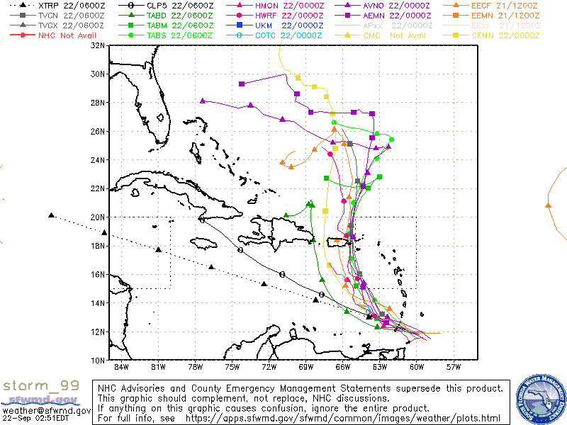
Almost all the models take this system straight back west under the monster ridge.
-
They don't seem that enthusiastic about Jerry, mostly because the models don't seem to be either.
-
 1
1
-
-
-
By all accounts, things are gonna be very active in the next few weeks. We'll see if Karen and Lorenzo make their way off Africa before that wave season shuts down.
-
This thing has really blown some nice convection this evening.
-
This year's ridging just doesn't seem as strong as we've seen in the last couple of seasons. This is why storms like Dorian, Humberto and now possibly 97L do the whole "slow down" and "stalling" stuff. There isn't enough of a dominant pushing ridge.
-
2
-
-
5 hours ago, SnowGoose69 said:
Yeah that system would be destroyed under that circumstance unless it was moving 25 kts as it crossed Hispaniola
The GFS shows a dynamic outflow setup over the Bahamas/Straits prior to Florida landfall. That's probably why the dramatic intensification.
Or the model is on crack.
-
1 hour ago, the ghost of leroy said:
What’s crazy is that two days ago you assured us the ridge was modeled too weak and that it would go south and west like all the other weenie storms
Because when I thought the ridging would break down during Frances and Ivan and Dean and Felix and Ike and Irma...the ridging was stronger than the models depicted. So when the models showed ridging so strong Dorian got to the panhandle, I thought "Perhaps they're underestimating again and Dorian will head even further west than that."
-
23 hours ago, cptcatz said:
Looks like we have two more waves coming off Africa that the Euro really likes developing over the past few runs...
Most of the hurricane seasons I tracked as a kid or teen wouldn't have activity until late September and October. Hurricane Keith October 2000, Hurricane Iris October 2001, Hurricane Lili October 2003, ect ect. If the climate models are correct, we could have some activity during this time.
-
1
-
-
I can't believe the failure of computer models this past month. I'm not just speaking about this Dorian situation, I'm speaking about how 10 days ago the models showed us ending August with 0 tropical storms, and in the last ten days, we had two storms, one hurricane, and one hurricane of 150 mph bearing down the Bahamas.
I almost think that "phantom storms" on the old models 10 years ago atleast gave us an idea of upcoming activity. I remember the long-range GFS continuously showed a long-tracked hurricane coming off Africa for weeks. One would hit New England, one would hit Mexico, one would hit Miami. That phantom on the model eventually became Hurricane Dean.
-
Yeah the EURO and GFS Legacy are showing a tropical wave interacting with disturbed weather in the SW Caribbean taking a track similar to Dolly '08 or Harvey and becoming a Western Gulf hurricane in the next 7-10 days.
-
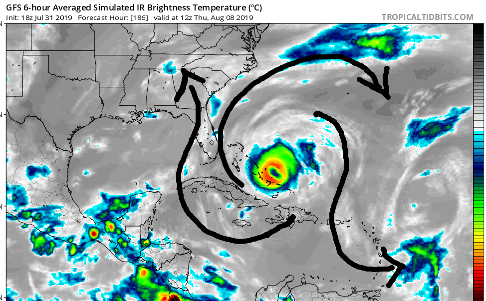
Yeah, the reason the GFS models bomb this into a beast is because of an amazing amount of outflow channels it gets near the Bahamas. One off to the north, one to the southeast into an upper level low, and another one into an upper low feature in the Gulf of Mexico.
-
1
-
-
GFS makes this a strong hurricane but recurves just before it would impact the Southeast U.S.
-
In all fairness, if it was one month later with a building ridge to the north, we'd be in a heap of trouble.
-
Please stay west! I have a Myrtle Beach vacation this upcoming weekend
")
-
So since I'm more a tropical guy than anything else, is there a legit reason why this weather has been ball-sucking cold? It's 55 and rainy in the middle of freaking June. I'm pissed as is every other freaking person I know.
If memory serves, we also had a cooler early Summer in 2017 and 2018.
The only fascinating thing is if their is a correlation between cold summers in Ohio and more hurricane landfalls in the U.S? I recall August 2004 being very cold here, right before the epic reign of Charley/Frances/Ivan and Jeanne.
-
My mother was on the freeway 5 min ago near Fairlawn and Ghent RD in Summit County, OH and said there was nasty hail and some signs of damage with branches, ect. Headed to me now.
-
Radar getting active, especially tornadic cells in Western PA.
I'm a little surprised the SPC keeps giving only "slight" risks to storms that clearly have much higher potential to turn violent fast.
-
3 minutes ago, DanLarsen34 said:
Not to mention, the observational data didn’t really support this either. It appears the warm front moved north and the storms were able to latch onto the very favorable orientation of the front.
The problem we’ve had the past ten days is everything that’s influenced these set-ups has been on the micro level. If we had much more extensive real time data, like soundings closer to ongoing storms, we might have been able to detect those factors sooner. If this isn’t a cry for greater investment, I don’t know what is.
If I recall, the weather the day of the Xenia '74 twister was unstable, but never did they expect the extent of tornadoes that struck the area.
-
5 minutes ago, Wmsptwx said:
The scanner feed is just awful....flattened houses being mentioned.
Yeah I'm listening. This reminds of "Night of the Twisters". (For those old enough to remember the 1996 TV movie)
-
Watching large tornado that just formed near Follett TX
-
Press conference now
-
Ironically, I see on the Jefferson Missouri Fire Department FB page that just yesterday, they dedicated their new fire station.

Hurricane Dorian Banter Thread
in Tropical Headquarters
Posted
Comparing Josh's vid and this Mexico Beach Michael vid, they both in my opinion, show sustained Category 5 winds. The "whiteout" conditions in both storms is very similar to the infamous gas station video in Charlotte Harbor during Hurricane Charley, where the tiny and fast moving eyewall briefly produced sustained Category 4 winds and a gust to Cat 5 within several seconds which destroyed the gas station. The "whiteout" conditions are seen in that video as well, and Charley was 145 mph by the time winds hit Charlotte Harbor.
The only thing I disagree with Josh about is that Dorian is the cherry on his hurricane sundae. I think Dorian may just be a thick layer of fudge. Just wait until he's in the eye of the next 1935. (I suspect the winds in the '35 storm were actually stronger than 185 mph, and the motion was about 6 kts in a tiny eye with 892 mb pressure).