Wannabehippie
-
Posts
14,975 -
Joined
-
Last visited
Content Type
Profiles
Blogs
Forums
American Weather
Media Demo
Store
Gallery
Everything posted by Wannabehippie
-
Slight weakening. 11:00 PM AST Fri Oct 1 Location: 31.4°N 61.2°W Moving: NNE at 17 mph Min pressure: 940 mb Max sustained: 145 mph
-
Based on the latest satellite loop, Sam looks like it is going NNE now. NHC will probably update that at the 8pm advisory.
-
937mb on second pass, and confirmed by NHC on 2pm AST advisory. 2:00 PM AST Fri Oct 1 Location: 29.1°N 61.9°W Moving: N at 21 mph Min pressure: 937 mb Max sustained: 150 mph
-
I think today will be Sam's last shot at making becoming a CAT 5. It is just below that now. After today, it will start to accelerate north, then NE/NNE in to cooler waters. 11:00 AM AST Fri Oct 1 Location: 28.4°N 61.8°W Moving: N at 21 mph Min pressure: 936 mb Max sustained: 150 mph
-
11:00 PM AST Thu Sep 30 Location: 25.0°N 61.2°W Moving: NNW at 16 mph Min pressure: 938 mb Max sustained: 145 mph
-
Trying to become annular?
-
8:00 PM AST Thu Sep 30 Location: 24.3°N 61.0°W Moving: NNW at 14 mph Min pressure: 938 mb Max sustained: 145 mph
-
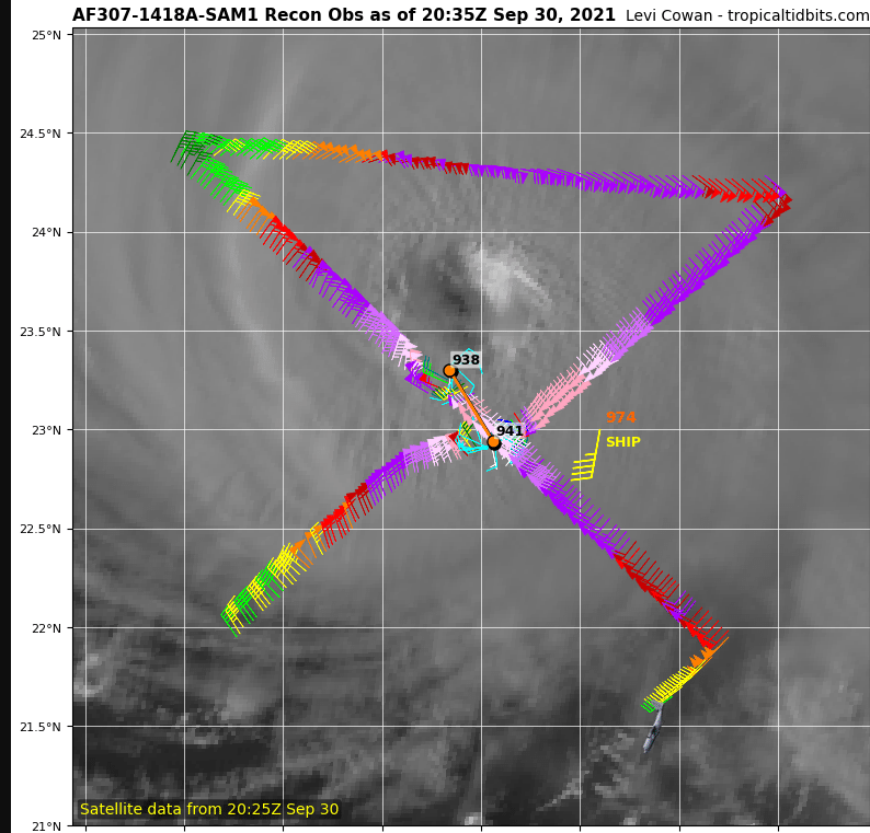
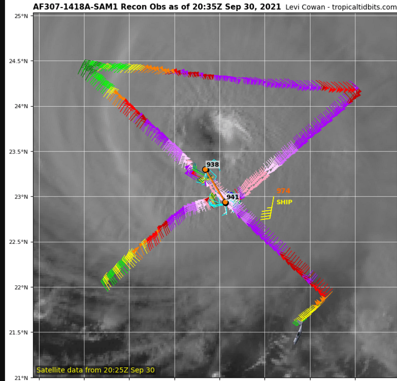
Is the SHIP report from this drone?
-
5:00 PM AST Thu Sep 30 Location: 23.6°N 60.9°W Moving: NW at 14 mph Min pressure: 938 mb Max sustained: 145 mph
-
938MB on second pass
-
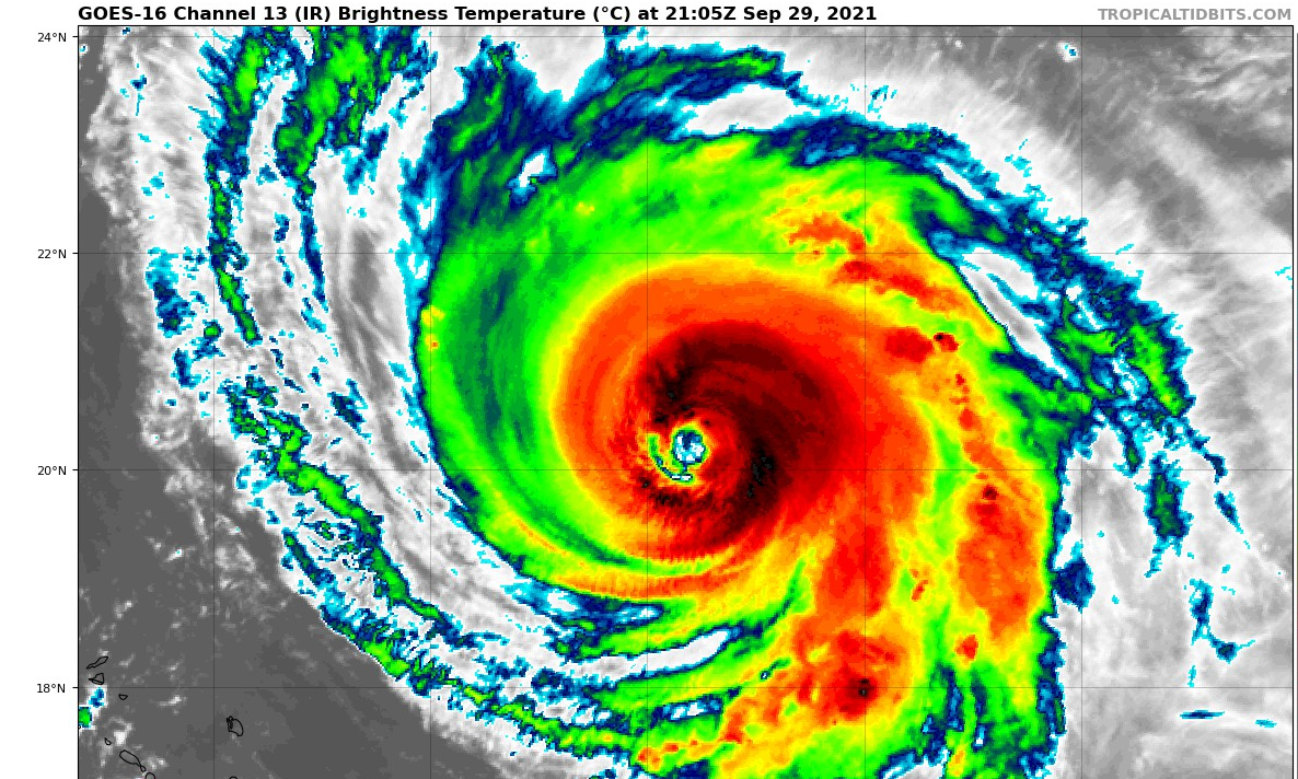
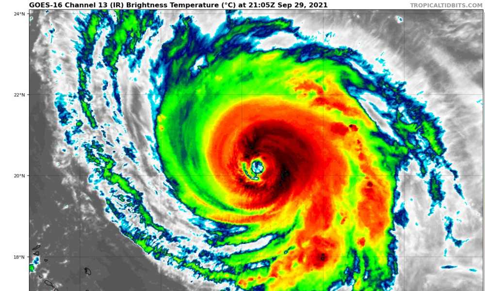
Is that a bit of dry air that got entrained in on this pic. It is the last in the current loop from Tropical tidbits
-
Over Roger.
-
We now have TS Victor. 8:00 PM CVT Wed Sep 29 Location: 8.3°N 25.5°W Moving: WNW at 13 mph Min pressure: 1005 mb Max sustained: 40 mph
-
11:00 PM AST Tue Sep 28 Location: 18.4°N 55.6°W Moving: NW at 9 mph Min pressure: 944 mb Max sustained: 140 mph
-
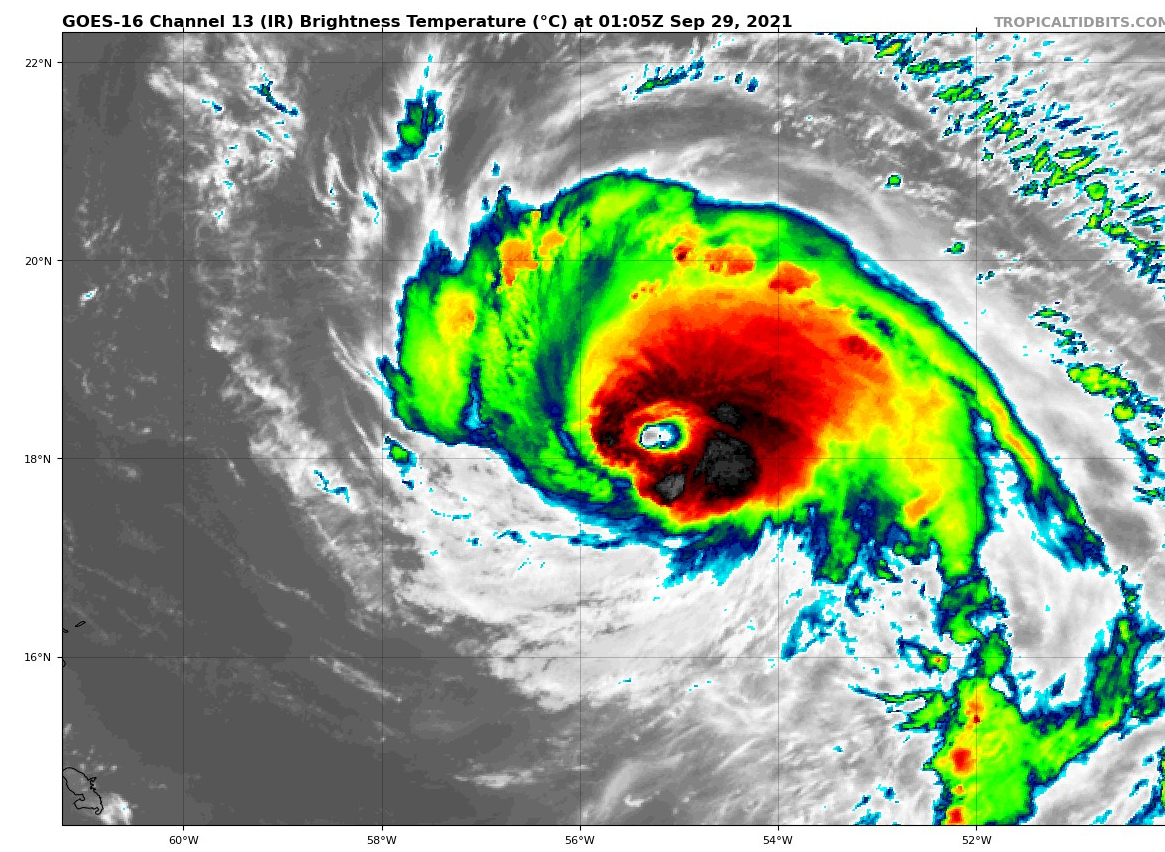
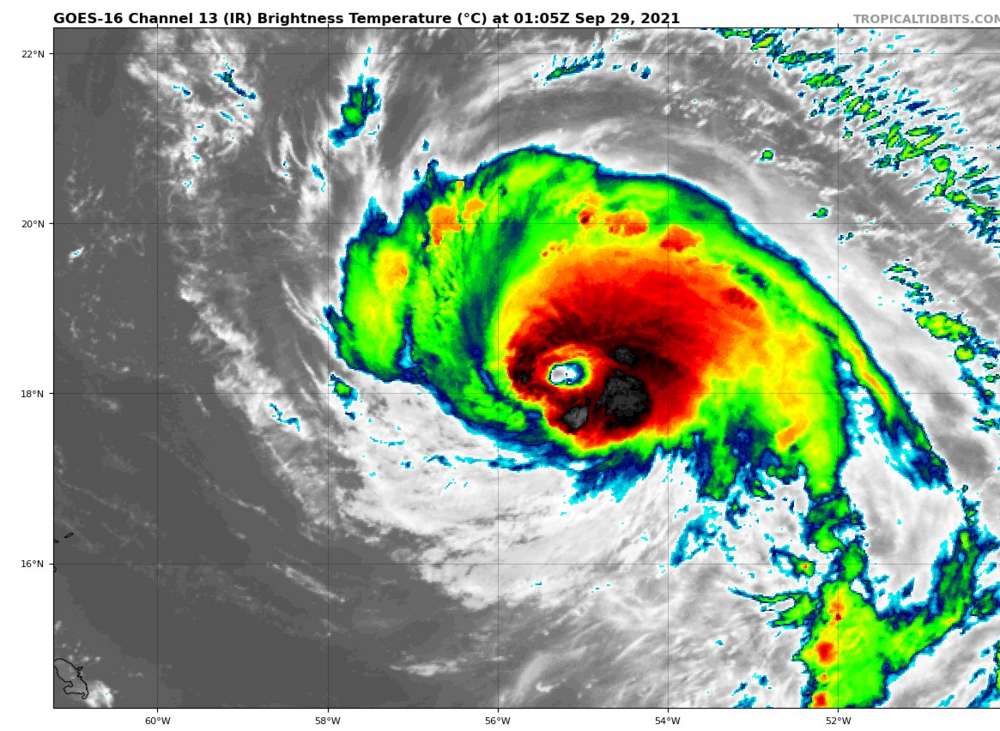
Eye definitely not circular, but it is visible again on satellite photos. Also looks like Sam is a bit lopsided.
-
Sam's eye was clear earlier today, but it has become obscured again.
-
-
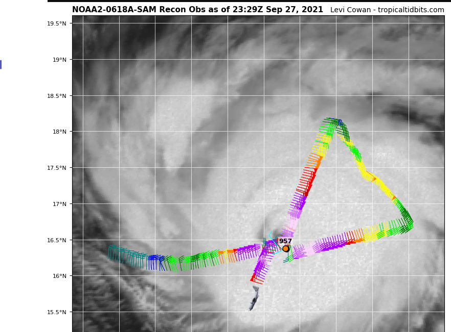
Pressure 959MB on first pass, which is lower than the11amAST update from the NHC
-
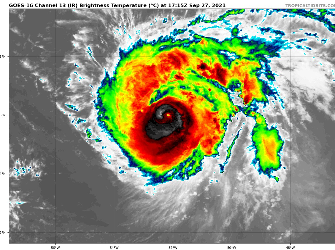
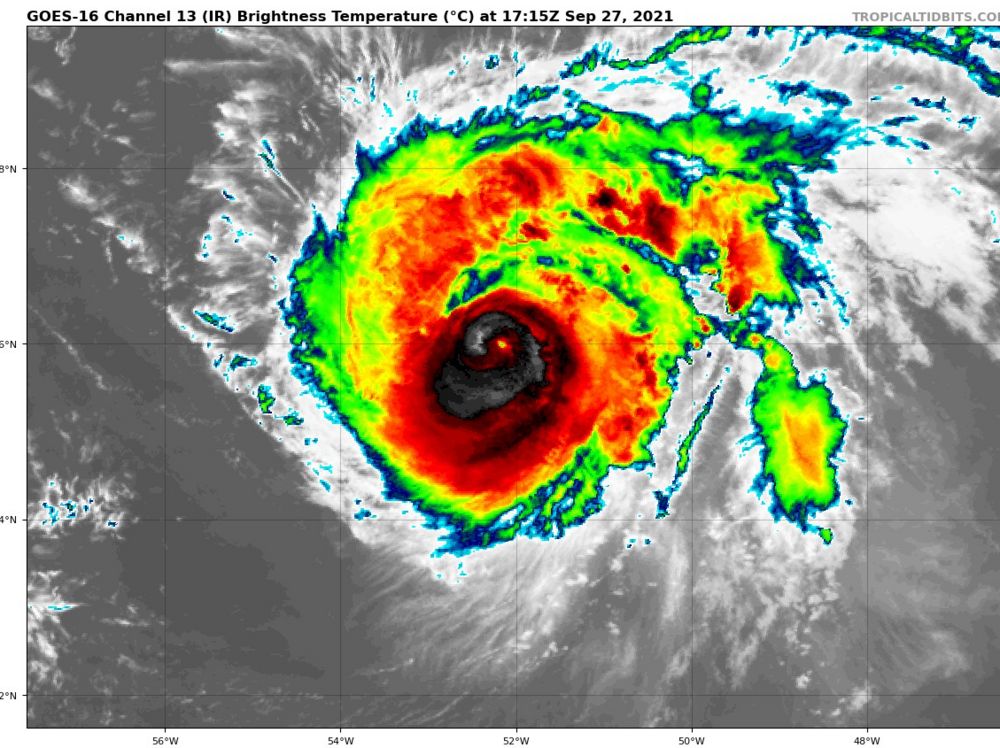
Looks like Sam is trying to regenerate a bit. Eye is popping back out.
-
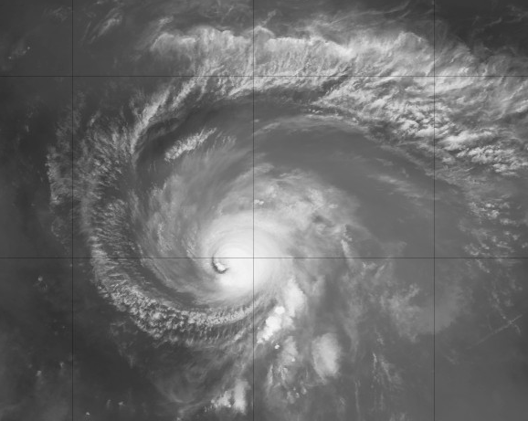
Did a bit of dry air entrain in, which weakened Sam?
-
-
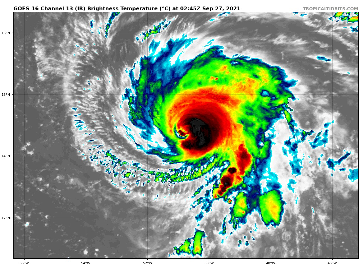
11:00 PM AST Sun Sep 26 Location: 14.7°N 50.8°W Moving: NW at 7 mph Min pressure: 943 mb Max sustained: 145 mph
-
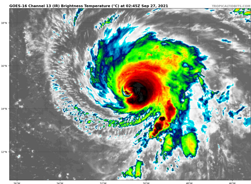
First pass was 932MB second pass is 943. ERC causing the pressure to go up or did they miss the area of lowest pressure?
-

2021 Atlantic Hurricane season
Wannabehippie replied to StormchaserChuck!'s topic in Tropical Headquarters
Since I do not see a banter thread for Sam I will ask this here. What are the chances that Sam will make it to a Cat 5? At first I thought it would reach it, but the models don't seem to get it to be that powerful. But they also seem to be underperforming what is actually going on with Sam.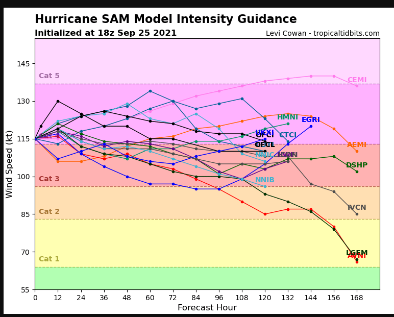
-
945mb on first pass.