

CoastalWx
-
Posts
176,943 -
Joined
-
Last visited
Content Type
Profiles
Blogs
Forums
American Weather
Media Demo
Store
Gallery
Everything posted by CoastalWx
-
77 is too high at ORH. Norwood doesn’t have 59 either.
-
Where they come from? Sounds like lower elevation hoodlums.
-
Tolland be like....better watch how ya talkin’ and where ya walkin’.....or you and your homies might be lying in chalk.
-
Won’t know until after 7
-
I’ve seen people post and complain in the town FB page about car break-ins and the doors weren’t locked. I don’t feel bad in the least bit.
-
Time for a LTC.
-
Was it just a car broken into?
-
And you want to lose power.
-
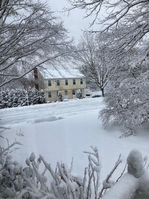
Steady light snow here. Feels like Stowe. Definitely at least 7” new here in Plymouth.
-
I’m in Plymouth and we had a massive SHSN/Graupel shower. Quite a bit of snow here too. Maybe 6-7”
-
I’ll share a few inches.
-
Looks like lots of flurries and snow showers all over NNE. Bread and Butter smeared all over.
-
Self destructive sun. Cold air aloft. We flurry.
-
Yeah seems to be trending away from a thump and more just lighter stuff.
-
Nice blizzard.
-
Gfs trying to show something to start March.
-
Kind of a warm lower 2k.
-
That’s gonna last well into March as long as we don’t torch.
-
We fear the end, but we enjoy.
-
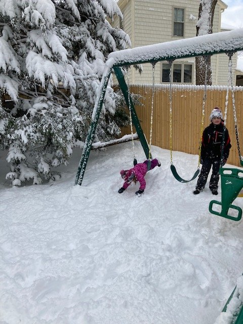
Pack about 10”+ in the shade. Not bad.
-
Well I don’t see anything imminent unfortunately. Hopefully we can sneak something in before the end of the month.
-
This is definitely more for you guys and higher spots of SNE.
-
It’s almost inherent to counter balance a few people. But this was better than I thought so no hiding from that.
-
Well as much as this seemed like it would be drawn out forever, it did exceed my expectations so I’ll admit that.
-
NAM a little colder too. Maybe paste to rain for Kev.


