

mob1
-
Posts
2,201 -
Joined
-
Last visited
Content Type
Profiles
Blogs
Forums
American Weather
Media Demo
Store
Gallery
Posts posted by mob1
-
-
1 minute ago, weathermedic said:
Lowest barometric pressure I can find is 28.88 at several locations in NJ.
While strong, the low is really broad and elongated at the moment with a relatively large area of similar pressure readings. Lowest are Allentown and Mount Pocono at 28.85.
-
9 minutes ago, Chinook said:
This warning is for area east of Yazoo City MS, with the possible tornado near I-55.
--
At 404 PM CST, a confirmed large and extremely dangerous tornado was
located over Pickens, or 16 miles southwest of Durant, moving northeast at 50 mph.This is a PARTICULARLY DANGEROUS SITUATION. TAKE COVER NOW!
HAZARD...Damaging tornado.
SOURCE...Radar confirmed tornado.
Pickens is a relatively small town in size, the tornado either passed VERY close to them or directly over them.
-
6 minutes ago, Wmsptwx said:
Anything more on this? Not too much talk
It passed through a very rural area before lifting.
-
Confirmed tornado now with the cell west of Raleigh MS.
-
The airmass honestly isn't that bad. If you can get this under light precipitation, you can certainly cool the column in a more dynamic storm. Especially if you can an idea phase from the northern stream, it's always tough for things to align perfectly for us but it won't take all that much here to get a solid snowstorm out of this.

-
 1
1
-
 1
1
-
-
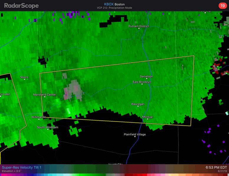
That significant tornado contour is massive

-
9 minutes ago, Calderon said:
Confirmed tornado on the west side of Laurel, MS.
.PDS warning now with this cell as it enters Sandersville.
-
Massive CC drop for the cell that passed Sumrall MS, they very likely took a significant hit.
-
2 minutes ago, Tatamy said:
Radars in central PA looking fairly impressive at this time with the squall line now passing to the east of the Harrisburg area. Ground obs are indicating that the strongest winds are remaining aloft however. Wind gusts in that area have maxed out in the 30 to 40 mph range so far.
Winds at 850 mb are supposed to dramatically increase over the next few hours (HRRR shows 850 winds briefly topping 90 mph) but at the same time convection will decrease as it moves into this general area. We'll see if we can mix down any significant winds here as we tend to do well with southerly winds.
-
White Plains gusting to 55 mph, very impressive for that location.
-
EWR gusting to 47 and LGA 48.
-
6 minutes ago, wncsnow said:
Lots of tornado warnings currently and a debris ball showing up on the storm near Wilson..
There's a video on Twitter of that tornado and it looked really big. I'm surprised at the size of tornados Dorian has generated, at least 3 of then looked like wedge tornadoes.
https://mobile.twitter.com/gg_barnes/status/1169708150007717889
-
These feeder bands coming ashore in NC have some really impressive rotation.

-
2 minutes ago, dendrite said:
Suprised they didn't pull the trigger on a TW for this yet, the warned cell to its west has much broader rotation now.
-
Not too shabby for this area

-
Just now, janetjanet998 said:
yikes now
just NE of town though?
On Google maps it looks like the entire city is confined in a very small area with not much around it, if there was anything on the ground (which is very likely) it went just NE of town.
-
Rotation NW of Assumption IL really going bunkers now.
-
-
Another tornado warning for the storm over Dalton City. Rotation looks somewhat broad.
-
Upgraded to Moderate and they introduced a 15 percent TOR contour.
-
One of the best nighttime thunderstorms in a while here, long duration constant vivid lightning and a few very decent wind gusts thrown in.
-
It's kind of in a bad radar spot but the storm west of Winthrop AR looks very impressive.
-
The hail core passing through Campbell looks crazy, warned for baseball sized hail.
-
Beatiful looking supercells in the TX Panhandle, the eastern one has a confirmed tornado with it.

-
2
-


Damaging wind ~10A-3P Fri Feb 7
in New York City Metro
Posted
Winds picking up big time in Staten Island now after a brief lull.