

Animal
-
Posts
6,320 -
Joined
-
Last visited
Content Type
Profiles
Blogs
Forums
American Weather
Media Demo
Store
Gallery
Posts posted by Animal
-
-
Line looks decent drifting down from northern Orange County west to east
-
1 minute ago, Allsnow said:
The convection west of the lower Hudson valley is the stuff to watch. The trajectory of them looks southeast, so the closer to the city the better for storms.
Mt Holly nws is calling for storms to drift south up in the north areas this evening possibly as far south as the philly burbs.
time will tell
-
 1
1
-
-
PHL hit 97f earlier...good heat!!
-
12 minutes ago, Allsnow said:
Looks like anything that pops west of the city will be after 7pm.
Latest hrrr is unimpressive
-
All right is quiet in nw nj
84f sunny
hoping something pops later in my area
-
Mt Holly & Upton are both honking storms and heavy rain potential.
-
1
-
-
0.45 last round
0.6 today
-
Storm broke apart in my area.
decent rain...no wind ...thunder okay at best.
good drink of water for the grass etc
-
Pouring here at the moment
-
2 minutes ago, wdrag said:
Torrents in progress for Wantage... not quite as bad as other areas. 0.77 so far today which includes over half an inch in the past ~15 minutes. Walt 505P.
Yea looks to be heading my way!!
sliight rotation on the cell
rumbling thunder
-
Outside- hear thunder
-
Just now, IrishRob17 said:
BULLETIN - IMMEDIATE BROADCAST REQUESTED
Severe Thunderstorm Warning
National Weather Service New York NY
429 PM EDT Sun Jun 28 2020The National Weather Service in Upton NY has issued a
* Severe Thunderstorm Warning for...
Southwestern Orange County in southeastern New York...* Until 530 PM EDT.
* At 428 PM EDT, a severe thunderstorm was located near Port Jervis,
moving east at 25 mph.HAZARD...60 mph wind gusts and quarter size hail.
SOURCE...Radar indicated.
IMPACT...Hail damage to vehicles is possible. Expect wind damage
to trees and power lines.* This severe thunderstorm will be near...
Unionville around 440 PM EDT.
Warwick and Chester around 500 PM EDT.PRECAUTIONARY/PREPAREDNESS ACTIONS...
Torrential rainfall is occurring with this storm, and may lead to
flash flooding. Do not drive your vehicle through flooded roadways.
That storms looks solid. 2x drilling for that area.
-
Just cloudy & hazy at the moment in my area.
storms look to be scattered around. Suspect my local atmosphere has been taken from the earlier heavy rains.
-
1
-
-
12 minutes ago, IrishRob17 said:
Close to golf ball sized hail on the ground out near Port Jervis.
Mt Holly reporting ping pong size hail near high point. Cell May clip my area
-
2
-
-
77f sunny nw nj
-
11 hours ago, IrishRob17 said:
Absolutely crushed here!
.52”
Nah brah.
0.85 on my street in 24 hours.
a few rounds of solid stuff came through.
-
1
-
-
41 minutes ago, Tatamy said:
Impressive line of storms just to my south west not far from Allentown. These storms have popped along a ridge line that runs in the same orientation as the that of the storms. I am waiting to see if they hold their intensity as they approach my area.
garden variety stuff..better than nothing -
Got crushed today with sunshine & slight humidity in nw nj.
all talk of t storms faded....sorta sucks.
-
Cooling off quickly in nw NJ
-
1
-
-
2 minutes ago, Cfa said:
Dew point has plummeted from the 70’s to the 50’s over the last hour.
Temp is 78, high was 85.
It’s actually feeling slightly chilly on the ridge line
-
Temps dropping quickly in nw nj & dew points.
-
34 minutes ago, Hitman said:
Keep the pics coming.
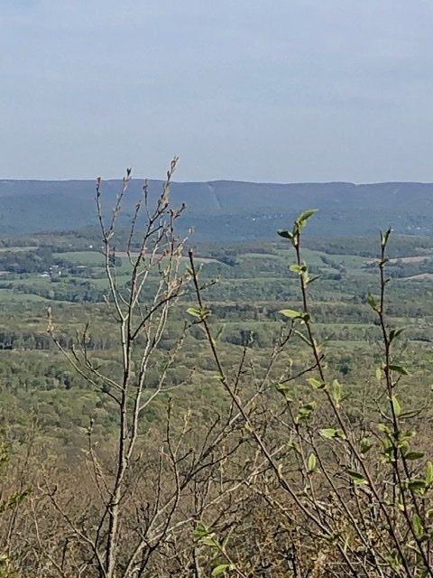
No trees etc..
delawAre River in viewv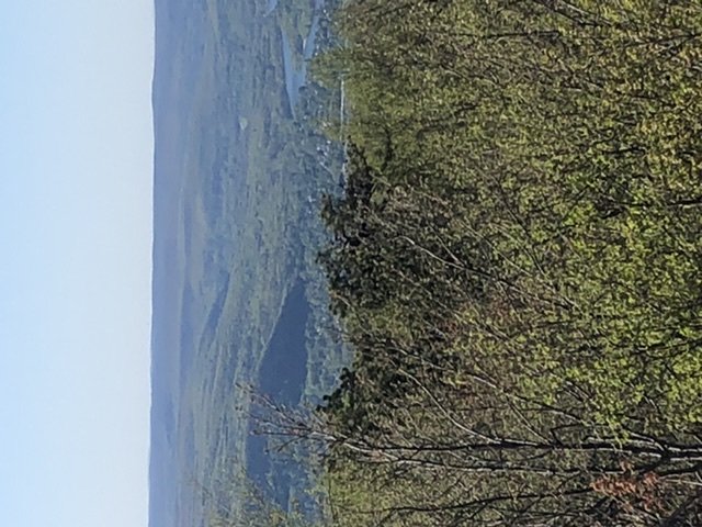
-
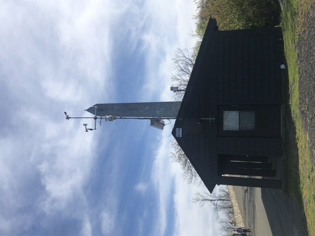
Weather station..20 yards from the top
-
Looking East at the ridge line in vernon/highland lakes
Isolated SVR FF potential for our NYC metro 130P Fri 7/3-3A Sat 7/4
in New York City Metro
Posted
Some knarly thunder hearing in the hills