
JonClaw
-
Posts
815 -
Joined
-
Last visited
Content Type
Profiles
Blogs
Forums
American Weather
Media Demo
Store
Gallery
Everything posted by JonClaw
-
Spoke too soon. Torrential rain and strong gusts.
-
Worst of the Queens cell passing to my south. Clouds have a greenish hue, so I guess hail in on the menu.
-
Hit 95.5 IMBY so far per Mesonet
-
Mesonet topped me out at 88.6 IMBY I like warm weather, but I'd prefer acclimating to it first...
-
For Queens, NY: Above average snow, below average cold, a snowpack that actually lasted more than a day, and a blizzard. A
-
Pingers in Downtown Brooklyn
-
Made it to just above 70 earlier per mesonet. I love it.
-
Snow has picked up as the backend passes through.
-
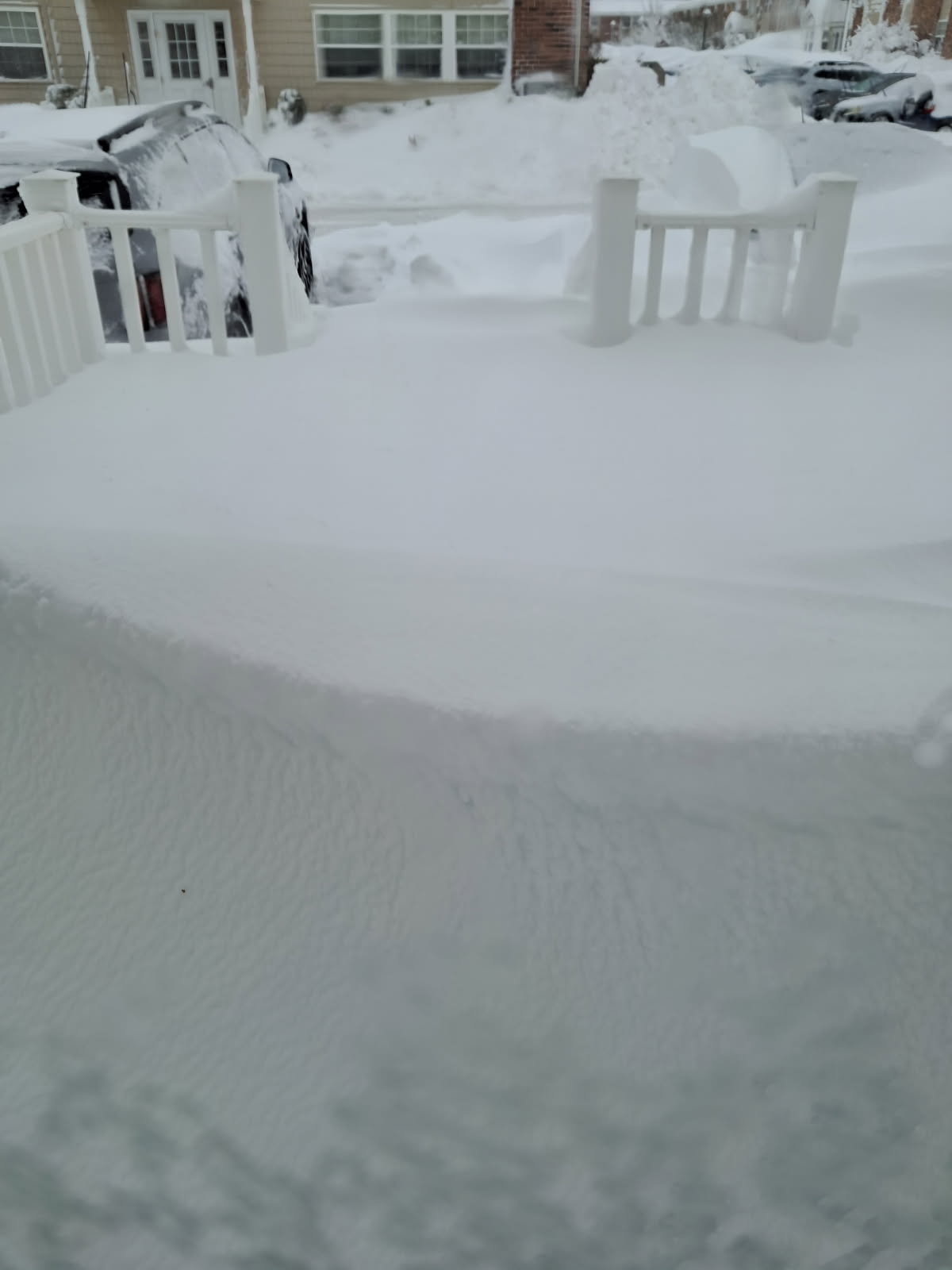
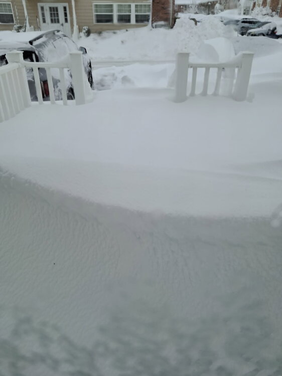
From my mother out in Patchogue. 3 foot drift blocking her in.
-
Update: It's (still) snowing.
-
Picking up again in Elmhurst
-
It's beautiful outside!
-
Winds are ripping now
-
Lightning detected in Canarsie https://www.lightningmaps.org/#m=oss;t=3;s=0;o=0;b=0.00;ts=0;z=11;y=40.6788;x=-73.8127;d=2;dl=2;dc=0;
-
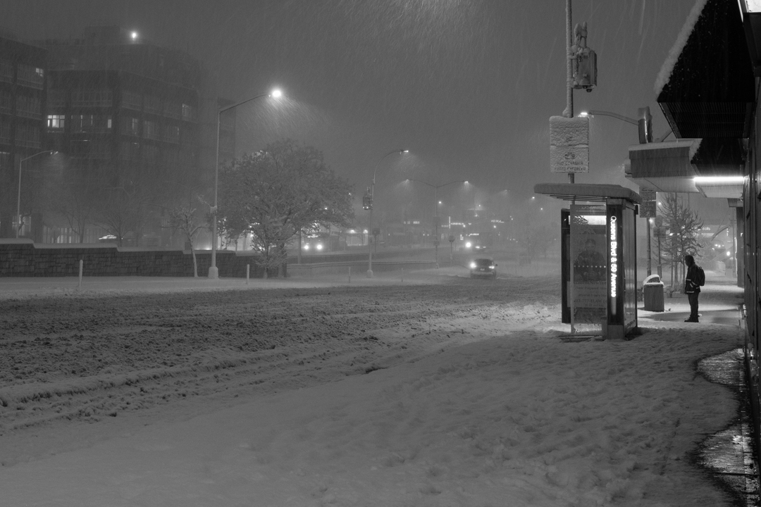
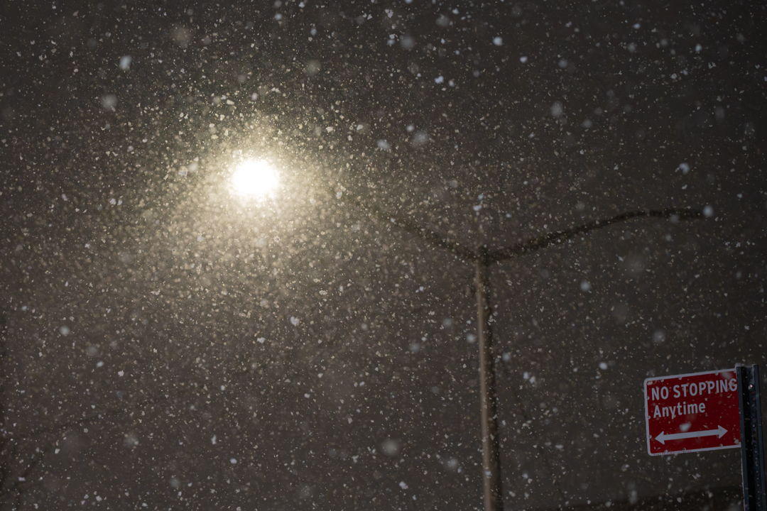
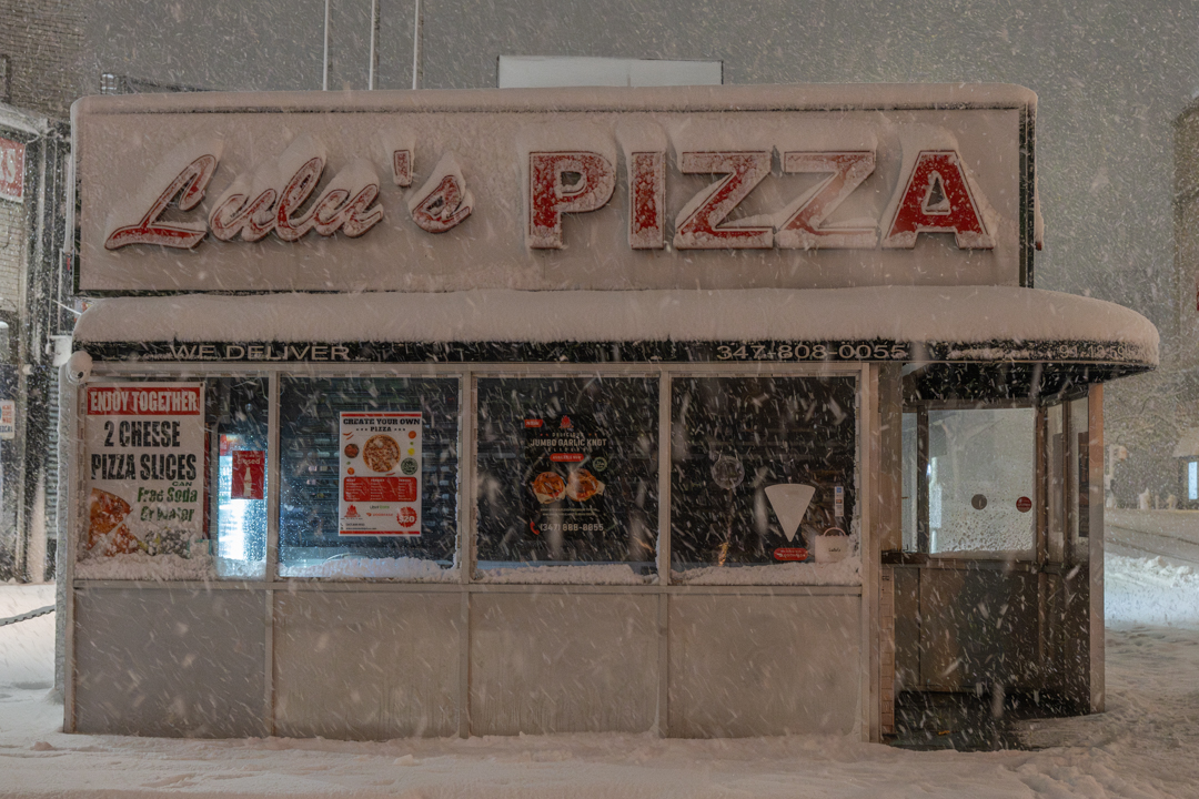
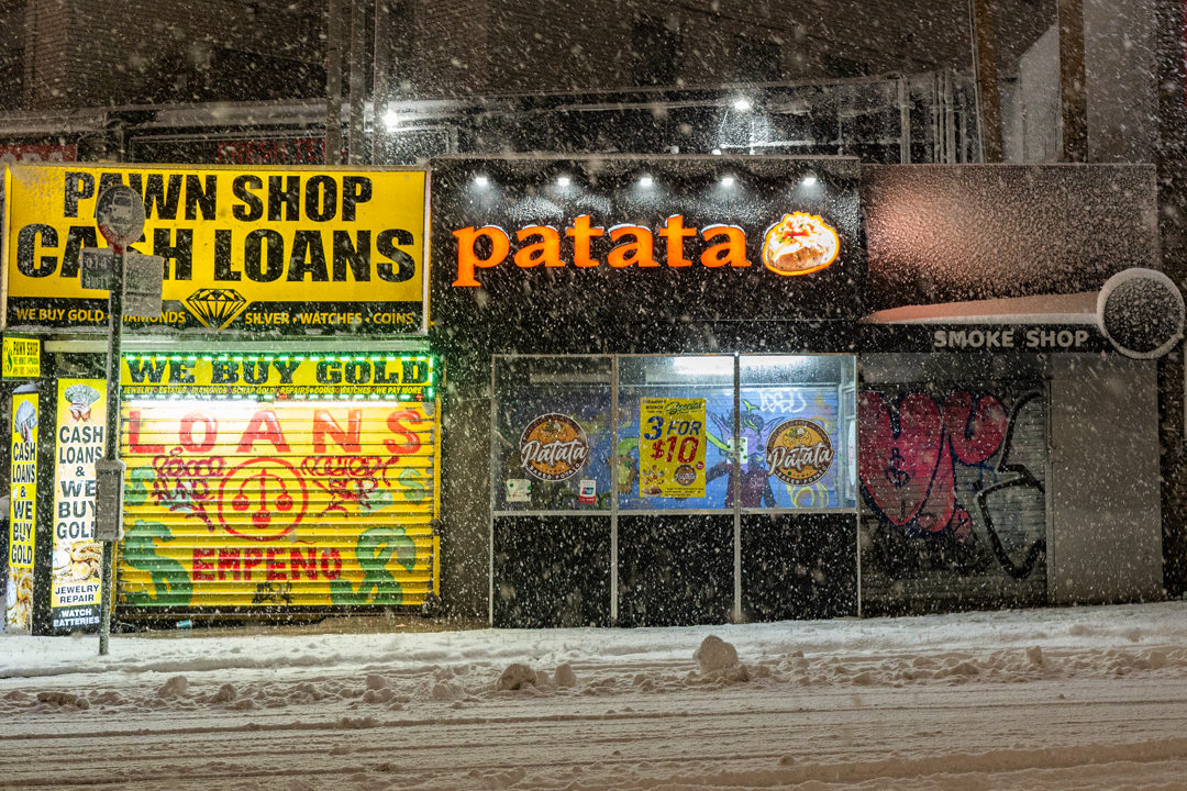
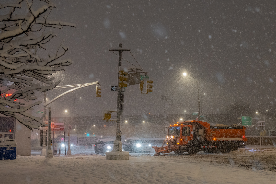
Just got back from my walk by Queens Center Mall. Will drop some pictures later if any came out well. Amazing out there! The winds have really picked up in the last 20 minutes. Heavy snow, at least 4-6" on the ground.
-
Holy EAS, batman!
-
Mod/Heavy Snow now! Aiming to head out with my camera around 10PM
-
Down to 32.7 per mesonet
-
Down to 33. Snow starting to stick to dirt.
-
Bigger flakes mixing in now
-
I guess people memory-holed Cuomo banning travel during 2016's Blizzard.
-
Travel ban in NYC 9PM to Noon tomorrow.
-
Mamdani Presser at 12 if anyone is interested: