dendrite
-
Posts
72,843 -
Joined
Content Type
Profiles
Blogs
Forums
American Weather
Media Demo
Store
Gallery
Everything posted by dendrite
-
42F with peeks of blue. I don't know what this snow stuff is that you guys are talking about. We green here in North Lauderdale.
-
Ha...you’re still getting flakes? 39° and rain showers here.
-
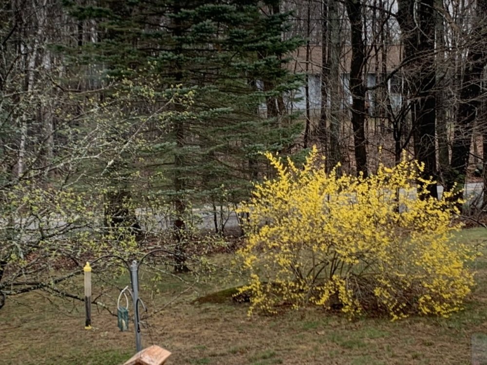
Crabapple is leafing out too.
-
Nope. It didn’t even try to stick.
-
I think my forsythia is actually ahead of yours...but then again I live in the tropics now.
-
Trust me I love the outcome. I just mean it feels weird to have it snowing literally everywhere around me while I pour rain on the hill. Just kinda have to laugh.
-
That just means more BN years once regression kicks in.
-
So much for the elongated POS low the 18z NAMs had yesterday afternoon.
-
Jesus...when was that? I don't even remember it. I get plenty of 32F rain too.
-
I feel like I'm on another planet in this storm. Kind of a surreal feeling. This must be what it feels like to be James...minus the novel writing.
-
36F Sheet drizzle blowing sideways
-
36° -RA T final
-
Nope. A few flakes or pellets count. Sticking not required.
-
A trace is any flakes.
-
Dynamics ftw
-
Stuck under a Hadley cell here, but no complaints. We greenin' up.
-
Maybe you can get a giant 20" flake and verify?
-
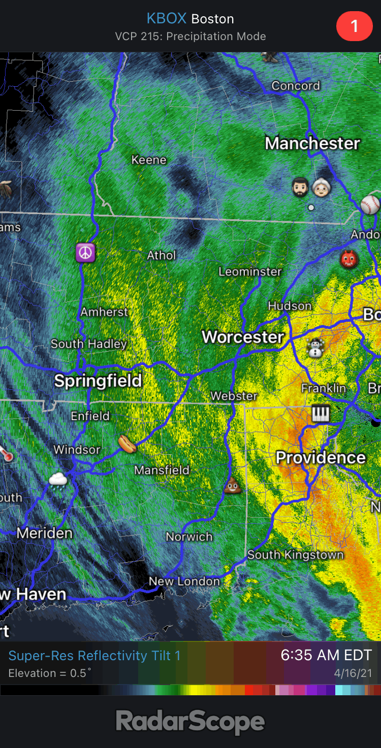
Dryslot working into NH now. Good storm. 3/4” of soaking rain and no snow.
-
32.1 there while Gene and I sit at 33/34.
-
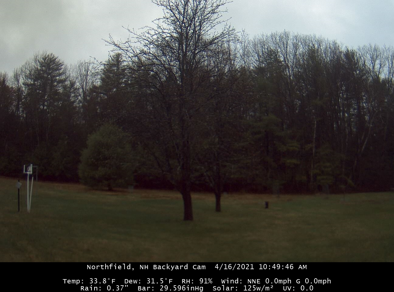
33.8° -RASN
-
34.0° -RASN
-
Pound town for king weenie.