

dendrite
-
Posts
74,917 -
Joined
Content Type
Profiles
Blogs
Forums
American Weather
Media Demo
Store
Gallery
Everything posted by dendrite
-
heh...restrengthens before landfall near PWM and drenches N NH/SW ME.
-
Looks like a global version of the HRRR/3k. LBSESNE
-
GFS red zone. I only view jack runs.
-
Early release GFS?
-
Big run incoming.
-
I watched vis loops yesterday and it looked NE to SW to me.
-
Looks like NE flow again today?
-
UConn to NIT too
-
FV3 is more east of the other hires mesos.
-
I agree. I know some spots down there have been in a legit short term drought.
-
When the native trees and meadow vegetation starts taking a hit, I take notice. If it’s just the lawn and your cukes idc. You can’t even judge by wells because some people have them in a shitty location or not deep enough.
-
Will be ironic if SNE ends up with all of the rain and NH and ME get
-
Can’t tell yet if you’re in reverse psychology mode or if the lawn is so far gone that you want complete devastation.
-
Who said it was right?
-
HRRR is very tucky
-
Weenies fighting over who has the bigger drought.
-
GFS is nice although I’ll be happy with a half inch. It’s pretty much a zero confidence forecast at this point.
-
GFS is a soaker for E MA into NH.
-
I'll take that euro run.
-
May have to make a CT sub-subforum off of this since their weather is so different from us.
-
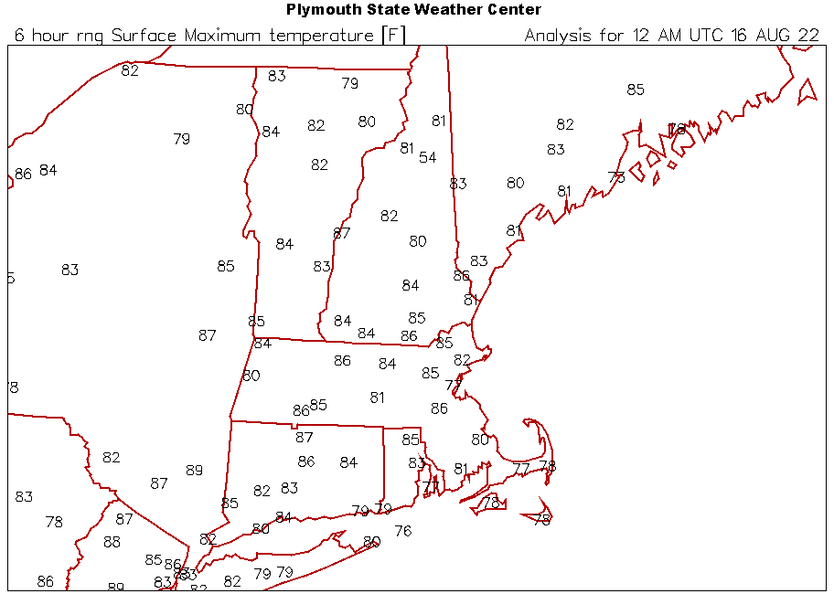
Sneaky warm today. Had an MPM 80° here (79.5).
-
RGEM pounds NH and W ME. Growing confidence for some beneficial rain here. Hopefully 00z holds.
-
Drought to floods on the cape.
-
OKX just went blizzard warning
-
ok that's too far west


