dendrite
-
Posts
74,980 -
Joined
Content Type
Profiles
Blogs
Forums
American Weather
Media Demo
Store
Gallery
Everything posted by dendrite
-

The 2023 Lawn, Garden, Landscape Party Discussion
dendrite replied to Damage In Tolland's topic in New England
More just move in. You need an outdoor cat or more hawks. -
Rain with 60s dews. We take. 0.30” so far. The soil has been getting dry…pushing 50cb.
-
The 2023 Lawn, Garden, Landscape Party Discussion
dendrite replied to Damage In Tolland's topic in New England
62F at 4" and 61F at 8" to start the morning here. A lot of my plants have been slow to grow...grapes, pawpaws, figs, etc. -
Still safe here. Maybe next year? My area is always wet and damp though on the north side of my hill so maybe the fungus that controls them is more prevalent here. I saw a few big ones last year that were shriveled up on the ground, but never saw any oak damage.
-
The 2023 Lawn, Garden, Landscape Party Discussion
dendrite replied to Damage In Tolland's topic in New England
45° and clear this morning. I’m ready for some muggies. -
The spongys (gypsies) don't make tents like the eastern tent caterpillars. They're hitting 93 just south of me pretty hard this year. The oaks are starting to put out new leaves now.
-
Yeah my back is like a lobster after weeding and mulching around fruit trees today. I used to love the solstice in S FL this time of year with almost no shadow at solar noon.
-
Yeah just saw you were at a party. I mean it’s decent this afternoon, but not my idea of summer weather. More like extended spring.
-
lol
-
Another cool one, but at least the sun is out now and we’re drying out. 66°
-
57° +SHRA Rinse and repeat the past few days
-
Looks like the pic from my mom
-
Parents are getting hail in S Hooksett
-
The 2023 Lawn, Garden, Landscape Party Discussion
dendrite replied to Damage In Tolland's topic in New England
Keep the rain coming. We’ve been steined the past week. -
December?
-
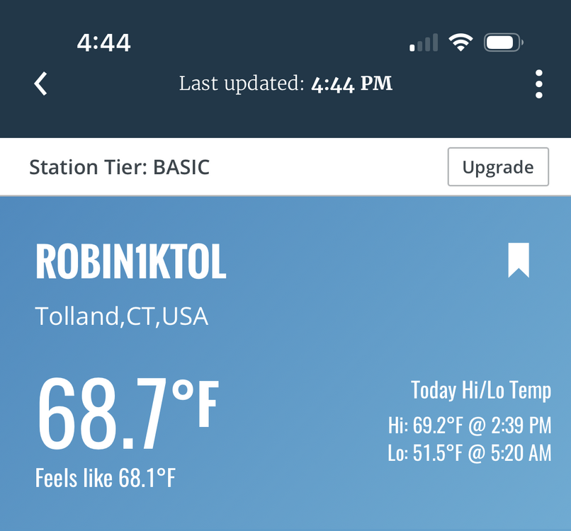
55.9° with more rain coming. 0.15” so far on the day.
-
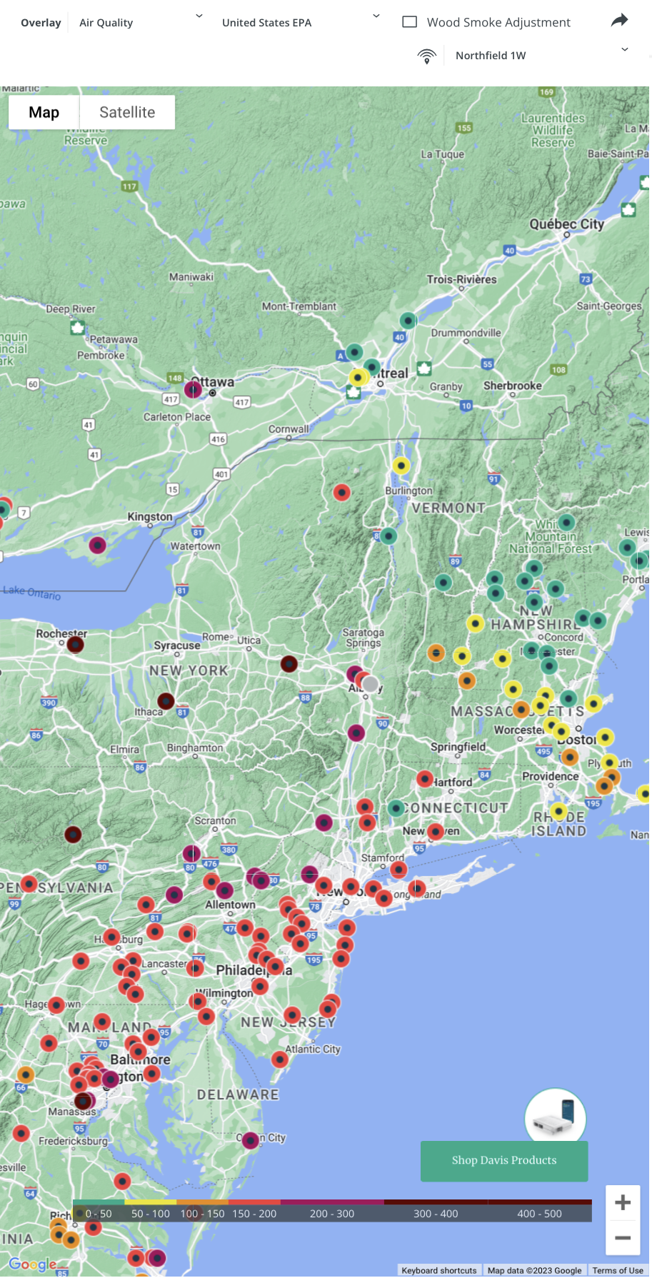
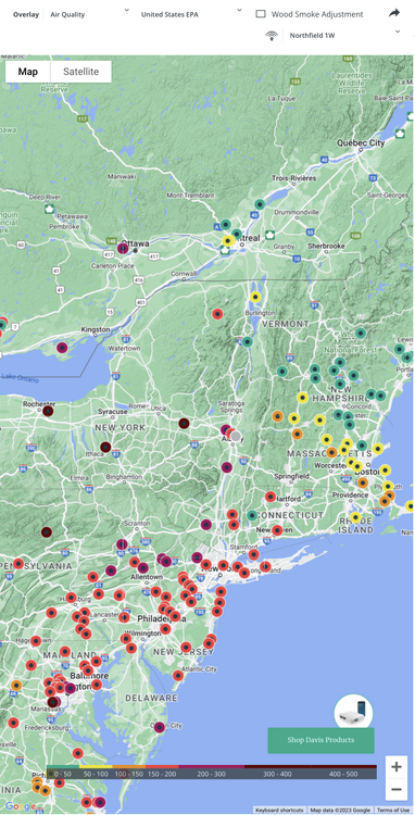
The smoke/haze is starting to improve in upstate NY.

-
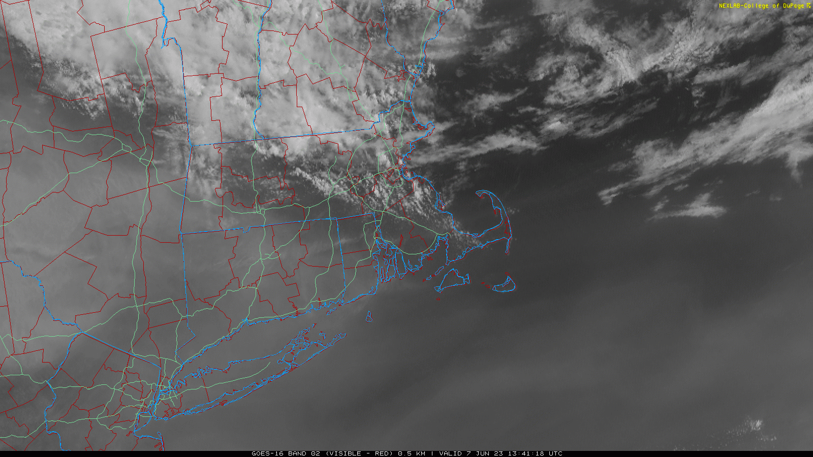
BDR down to 1SM
-
Probably since it will be difficult for Judge to see the pitch calls relayed from the dugout
-
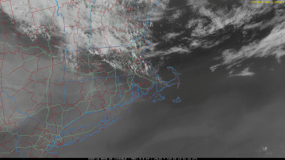
Yeah still a lag at the surface but the depth of the smoke layer is decreasing over N CT. You can see the cumulus line popping southward as the insolation increases behind the deep layer. The air is definitely trying to improve through the CT River Valley in S MA though. BAF and CEF are up around the HZ threshold and BDL is 5SM.
-
We are. 3 here.
-
I’d plan on installing
-
Historical yellow days https://newenglandhistoricalsociety.com/yellow-day-stokes-doomsday-fears/
-
Vis so low you walk through it to get to the pool.
-
W MA improving and N CT right behind.