dendrite
-
Posts
72,824 -
Joined
Content Type
Profiles
Blogs
Forums
American Weather
Media Demo
Store
Gallery
Everything posted by dendrite
-

14th Lawn and Garden Thread P Allen Smith 2024
dendrite replied to Damage In Tolland's topic in New England
Moss laughing at the monocultures and anti-Stein
-
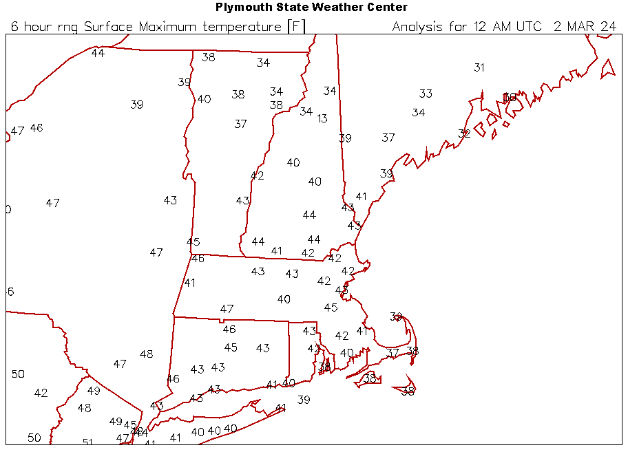
62° so far at BDL is the 2nd warmest temp on this date in their period of record.
-
55° (at least) at CON is 6° away from the record high and the mean of 49° so far is the warmest avg temp for the date since 1874.
-
Our March came in like a feline alright.

-
Ray would be pissed if he lived in that gap between 8-10ft zones
-
2 already! Please hammer don’t hurt me.
-
Got any pics of snow drifts at 10k in the Sierras?
-
Pulled the plug early to take it out of its misery.
-
The earliest last freeze for BOS is 3/17 in 1952. Can we make it 3/1 this year?
-
14th Lawn and Garden Thread P Allen Smith 2024
dendrite replied to Damage In Tolland's topic in New England
I have 3 younger apples in a row…honeycrisp, galarina, and honeycrisp…and only the galarina got girdled by voles. The damn things dig under 1/2” hardware cloth fencing to get to it. But I cut down a couple of saggy birches last fall and man did the voles have a feast chewing that up. Maybe that’s the secret? Give then some young birch to chew and they’ll leave most of my other trees alone? -
No snow maps posted overnight. I assume that’s bad news for the snow “threats”.
-
14th Lawn and Garden Thread P Allen Smith 2024
dendrite replied to Damage In Tolland's topic in New England
Pruned this weekend. Just checking in.
-
Minneapolis just scored their earliest 70s on record. Here’s MSP’s top-3 daily extremes so far this season. Every day so far in March has been a record. 11/14 66° #2 11/16 69° #1 12/7 51° #2 12/8 49° #3 12/14 52° #2 12/24 55° #1 12/25 54° #1 12/26 50° #3 1/29 50° #1 1/31 55° #1 2/1 50° #2 2/4 50° #2 2/5 49° #2 2/6 57° #1 2/7 51° #2 2/8 53° #1 2/22 52° #3 2/26 65° #1 2/27 53° #3 2/29 59° #2 3/1 59° #1 3/2 63° #1 3/3 72° (so far) #1
-
Max 58.5° Felt like 70s in the sun.
-
Man the last of the glacier may be gone today at this rate. Blazing sun and 47F
-
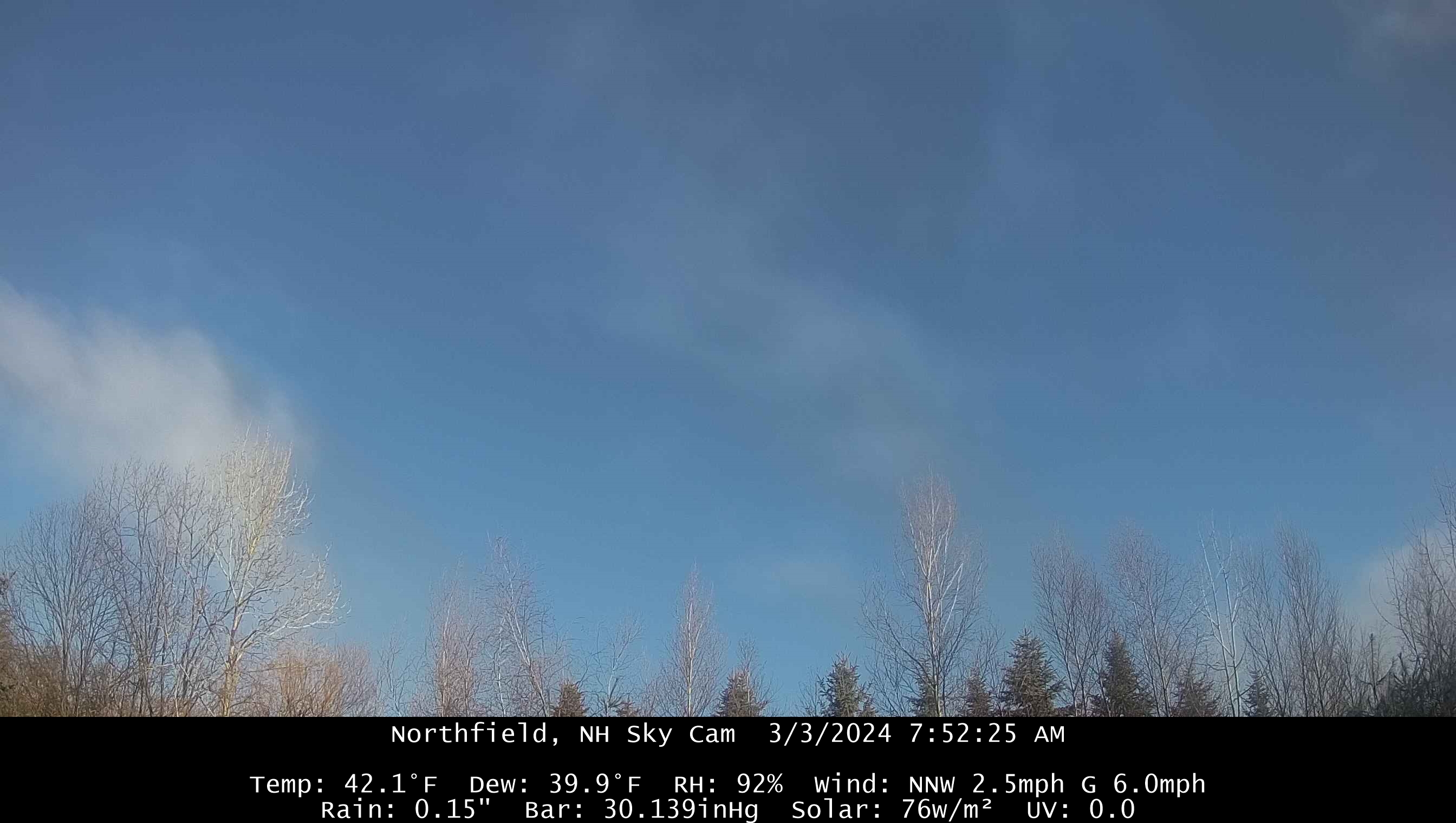
Beautiful morning after 0.77” of rain.
-
Give me the under.
-
That’s a hell of a thaw to start the month. Warm mins are what we do best.
-
Cold one today. Only a +5 for CON on the max
-
Send it to QB. I want to be in the warm sector.
-
Maybe all we needed for snow was to have the d15 guidance trend torchy.
-
The lol was for Steve. We post 300+ hour deterministic runs all of the time in jest. In realistic range (week) today has always been a transition day.
-
lol a random 312hr gfs op run…
-
That starts 3/2. Today is 3/1. Today was always a transition day after the cold shot.
-
When was today ever a torch day?