WmsptWx
-
Posts
5,999 -
Joined
-
Last visited
Content Type
Profiles
Blogs
Forums
American Weather
Media Demo
Store
Gallery
Everything posted by WmsptWx
-
Thats what I remember seeing on YT during a live stream from an Atlanta network affiliate.
-
Right. GFS had this thing sniffed out just after Helene but I think it vanished for a bit. There's an interesting little bit on the tropical thread in that the trend over the last few years has been to continue to intensify up until landfall. This one is being modeled to get a little bigger and throw the wind field outward while losing steam as we approach. I do fear for what may happen if that doesn't happen. Or I guess even if it does but not to the extent currently progged. Suppose this bastard hits 205-215 mph max sustained but weakens to something like... 165 mph max. What a disaster.
-
Waddams IV. 150 mph. If this thing doesn't hit the Yucatan, 200 mph is happening.
-
May the Villages drown lol
-
Hurricane Waddams is officially major. This may be the fastest intensification I have ever seen in a cyclone. Considering it is expected to continue to intensify before rapidly expanding and deintensifying, I wonder if we get 200 mph sustained winds out of this one.
-
You're reaching @TheClimateChangerlevels of idiocy with this. Just stop.
-
You really need to Catsup.
-
43°F this morning. Furnace deployed.
-
Tampa is screwed.

-
Spent the afternoon on Front Street today. Gorgeous fall day.
-
Took the time to push mow the grass tonight at mid-height on the deck blade and it was the right call. I think my yard looks better right now than it has all season, and it's going to require another mow in a few days with all the sun we've had the last two days. Gorgeous night, this.
-
No. It was @AccuChris . You only post Nooners.
-
Yeah I'm probably going to double it up. I've made the mistake of trying to lob too much off at once and the yard ends up looking like pure ass after. I'll probably go medium length first time, low the second
-
Mike may come by to slice you for mowing like crap. I plan to mow this afternoon. Can't wait.
-
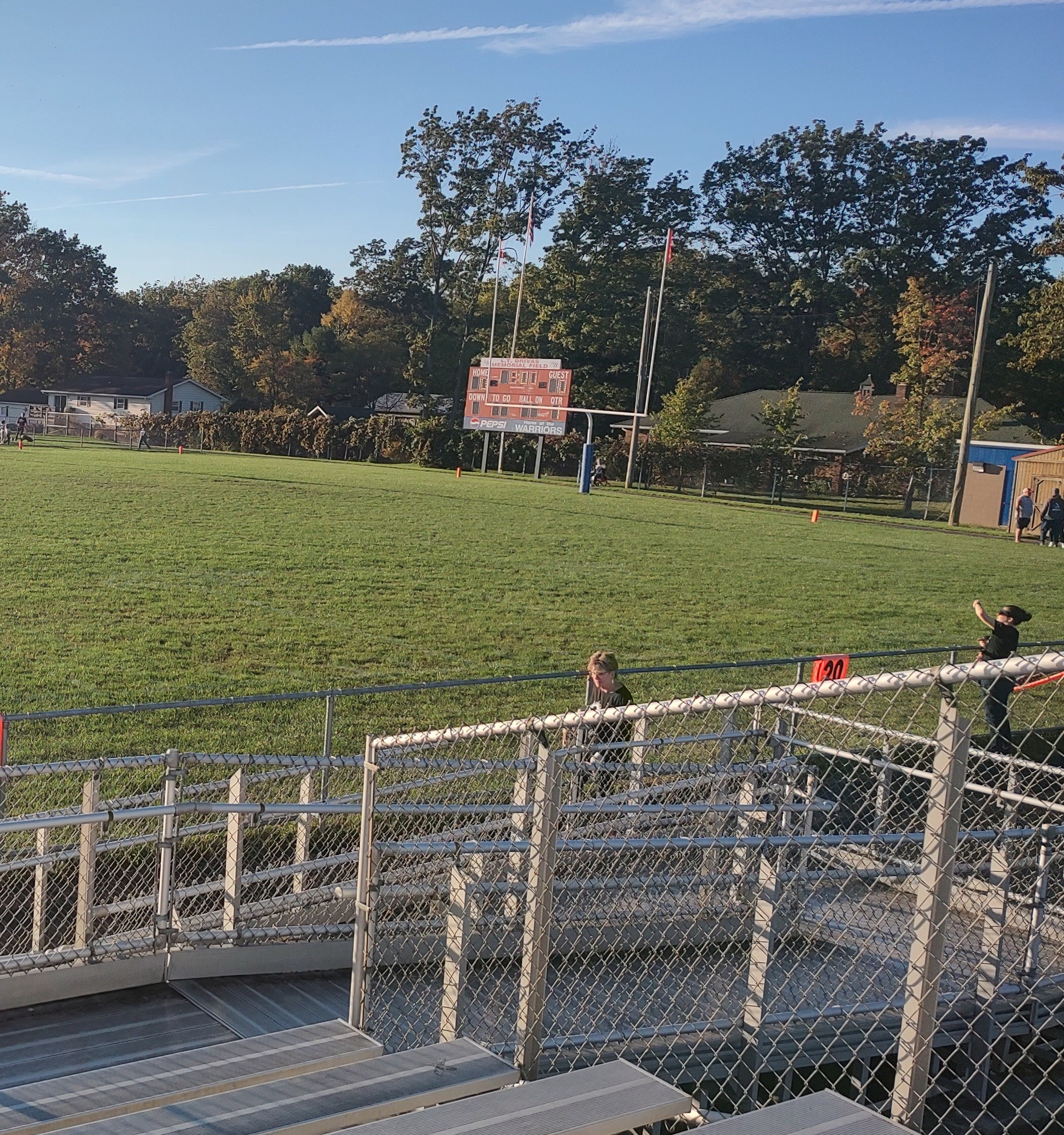
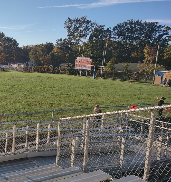
Week five of football has sent me to West Branch. This field is in desperate need of mowing.
-
Birds fans definitely need to sympathy today. That's an organization that has struggled to get to where they are with a potential championship window and are now 0-5 in their last playoff trips through no real fault of their own. Front office needs to do some soul searching and assemble an offense to go with their pitching. I don't think there are any hands across America to be had to the Bravos. They're still firmly within their multiple championship window, three years removed from a title and probably did more with less than anyone in baseball this season. Their expected 162-game lineup improved on last year's 106 win ball club and that lineup played together for six innings this season before it started falling apart. Despite that they sent half of the AAA squad out there and still made the play-in round. They were issued house money on May 26th when the best baseball player on earth when healthy tore his knee. Any sympathy towards Braves fans should be redirected to Baltimore.
-
I just got home from being with the kiddo and my entire neighborhood is mowing right now.
-
Sorry, Mike. Gotta blow it up a little bit.
-
I have seen Donald Trump, yes. And also the sun.
-
It's so beautiful.
-
Yes it was just you and previous to that Naddod back in 861...
-
Today is the day the sun may return. It's the first day since I think Saturday the 21st where the hourly forecast shows sun. Please let there be sun.
-
I don't know about the Birds. They simply cannot bow out of two straight postseasons without registering a single win. A loss tomorrow and it may be time to start looking at some core changes to address a lack of killer instinct or something.
-
It doesn't have the scrote to do that.
-
Make it change. You can do that right? You can fix this?