

HoarfrostHubb
-
Posts
58,756 -
Joined
-
Last visited
Content Type
Profiles
Blogs
Forums
American Weather
Media Demo
Store
Gallery
Everything posted by HoarfrostHubb
-
10 years ago today I got to 79F
-
Way better than my Sasquatch pics
-
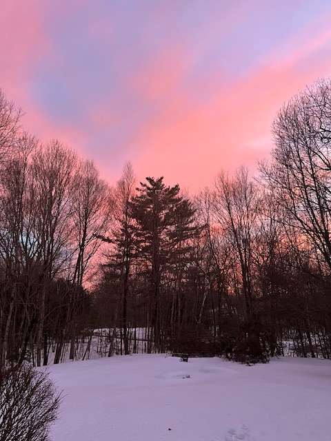
Nice sunset. Probably only a couple with much snow cover left
-
51F for my high. My yard still has over 12” of snow over almost all of it. South facing foundation is showing.
-
Same here. There might still be a swiss cheese look to my yard, but it will almost all be gone
-
One thing that is very noticeable is the frost heaves (or whatever the opposite of those are called…thaw heaves) on the state highways around here. Coming back from ORH last night the bumps on Rte 68 almost launched us
-
If it can just snow on my mountain ai would be happy with that.
-
I'm kind of surprised they don't make/sell solar panels with some sort of heater/defrost system built in...
-
We were skiing this morning. Snow was great but the drizzle made the visibility awful despite frequently wiping the goggles.
-
Hoping for that front to pass a bit faster…get it through by Wednesday night please.
-
Skiing at Wachusett. Significantly icing on the trees up top. Was going down Ropers Road and lots of small and medium cranked down. We actually saw a big one fall a little off the trail.
-
No. Daughter and I went to see a friend of hers in a play.
-
Was in Barre… very icy out there tonight.
-
Our dog is able to stand on our pack without breaking through. The past 2 events have solidified it pretty well. But it will still lose a ton by Wednesday night
-
Yep. It all goes down the drain eventually. A lot will be gone mid week
-
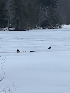
I couldn’t get very close and just had my phone. I had never seen them on the ice before. They were there again today. Pictures were even worse
-
Yeah HRRR was on crack for this... but so was the GFS
-
Would be nice to get it out of the way on Wednesday and have a drier, cooler Thursday
-
About an inch of crusty icy mixed stuff here. Roads are a mess. All of the local school districts that had delays shifted to closures. My district waited until the last minute to close. Those HRRR and GFS snows never came close.
-
Norluns are named half after him.
-
Some flakes mixing in here. Quite the glaze as well.
-
Pingers here.
-
Where the heck do you work?
-
Not weather related, and not AI, but saw 2 bald eagles having a snack on one of the ponds near my house this afternoon. Sorry about the crappy picture quality
-
And like I figured…ORH schools are closed.


