Interstate
-
Posts
5,732 -
Joined
-
Last visited
Content Type
Profiles
Blogs
Forums
American Weather
Media Demo
Store
Gallery
Everything posted by Interstate
-
I got a good dusting here in 20157 with minor accumulation on some pavement. The wind has really picked up too.
-
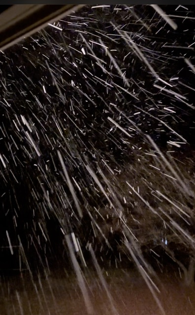
This was from 4:56 this morning here in 21057
-
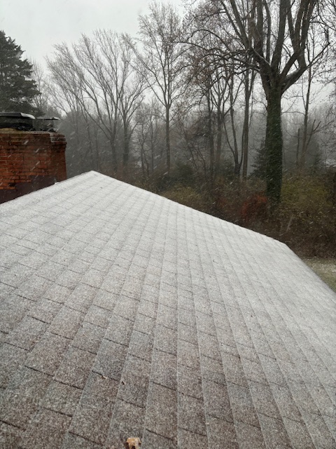
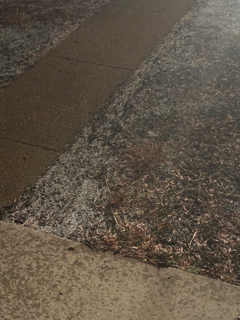
Dusting
-
Sleet here in 21057
-
 Never got a heavy band here in 21057. Everything stayed to my west. Just some flurries.
 -
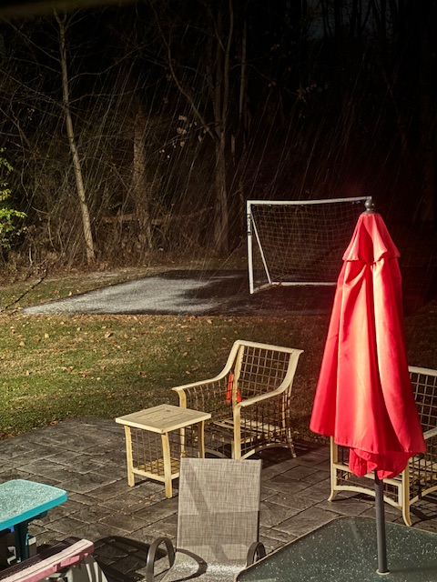
First Flakes
-
You beat me to it. That is a pretty impressive cutoff. https://weather.cod.edu/satrad/?parms=meso-meso1-truecolor-48-1-100-1&checked=map&colorbar=undefined
-
Are you sure they are not helicopters from the tress... I keep think it is snowing, but it is helicopters falling from the trees...lol
-
Fixed That is my old hood growing up.
-
all the way up to 36/29 now here in 21057
-
I see the winter negativity is in full force.
-
When was the last time we had a precipitation field come from the north like this?
-
33/28 here in 21057. Almost got to freezing
-
36.5 here in 21057
-
I wish I was there. When it started I thought it was like this looking at the radar. It looks amazing
-
LWX has 1-3 inches for northern Baltimore county in their point and click forecast for tomorrow.
-
.78 here in 20157... Thank god for the rain before the wind... kept my neighbor's leaves from making to my yard.
-
Because they could have won if they kicked the FG... The Defense was playing great... I just dont understand.
-
Biggest game for a long time tonight for Washington. The fate of the NFC East is on the line.
-
29.1 for the low here in 21057. First sub 30 of the year.
-
It has been as low as 60... It was 64 today, but I saw the upcoming forecast with lows in the upper 20s... so I know it was an uphill battle.
-
Well time of death... 10:04 AM 11/12/2024... I finally turned on the heat.
-
I have never seen a storm unravel that fast. Being that strong in the gulf and never making landfall is amazing.
-
Burn ban over?