

CarlislePaWx
-
Posts
2,417 -
Joined
-
Last visited
Content Type
Profiles
Blogs
Forums
American Weather
Media Demo
Store
Gallery
Posts posted by CarlislePaWx
-
-
This map is unbelievable. This is the entire 384 hour run of the 12z GFS from this morning. North Carolina has 2 snowstorms depositing almost 24" in a few spots. Look at PA. Other than a few spots in the Laurels that receive 1", the entire state gets nothing...and this is the heart of the snow season for us. Incredible!!

-
 1
1
-
-
19.4 for my low this morning, along with frost. I've had quite a few mornings this winter with heavy frost so this didn't seem much different.
-
 1
1
-
-
1 hour ago, pawatch said:
That map is bullshit

Look at that dry slot.

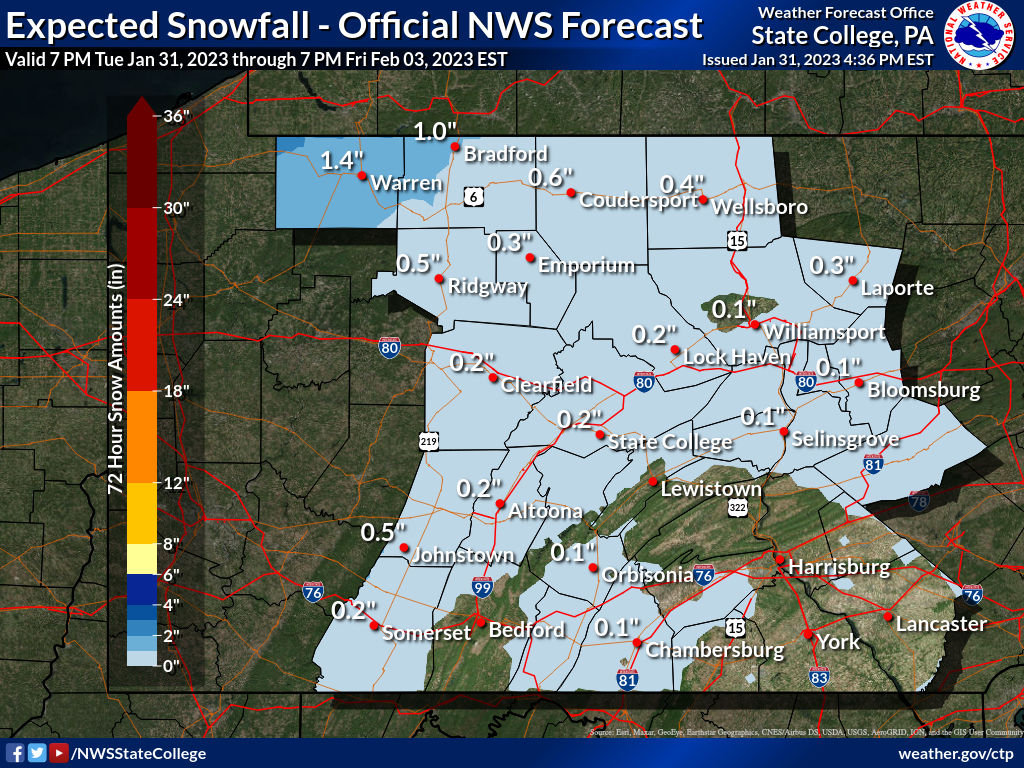
I don't know if I've ever seen this kind of snow forecast map before. Lots of areas (including me) forecast to receive 0.1" of snow overnight! A few models show me receiving upwards of 0.5". So, a nice coating should suffice. I've got my snowboard out and ready to go...haha.
-
2
-
-
10 hours ago, Bubbler86 said:
Your cool new truck gets a lot better mileage than my small SUV. I have a fairly powerfully 285HP motor that sucks gas like a Uhaul. LOL. That 33 gallon tank is great for not having to get out and gas up when cold out!
Very true...which is great this time of the year. The downside is that I'm now paying around $160 to fill up. However, I get 800+ miles on a tank...lol.
-
1
-
 1
1
-
-
2 hours ago, Bubbler86 said:
Almost looks like your Chevy has a Dodge Ram logo on the hood.
That's so funny. When I first looked at the hood (before seeing the Chevy logo on the grill) I also thought it looked like a huge Ram logo. Then I wondered if I had ever seen a hood with any logo. Btw, I'm the proud owner of a Ram 2020 Limited in Delmonico Red. And, it's a Turbo Diesel. I got a great deal on it last year down in your neck of the woods at Buchanan Auto Park. I had always wanted a pickup that was loaded and was also a Diesel (but I didn't need/want a Cummins). I bought it for comfortable driving, etc., although the bed has served me very well more times than I thought I would use it. Oh, I forgot to mention that it also came with a 33 gallon tank, and gets 31 mpg when all-highway (and not towing anything).
-
1
-
-
Midnight reading, and likely high for the day (Tuesday) at MDT looks to be 48 degrees. The low on Tuesday will likely be at midnight tomorrow night. It now appears that January 2023 will end with every single day of the month above normal for average temperature. That's pretty unbelievable! Did 1932 have every day above normal?? Let's say that the low Tuesday evening is 28 degrees. That gives a mean temp of 38 degrees, which is around 7 or 8 degrees above normal. I don't have the numbers, but it would seem that the 31st will bring the monthly mean temp upward roughly +0.2 degrees F. Is that enough for the #2 slot for warmest January average temp? It's going to be close.
-
Nooner 51.8 and partly sunny.
-
1
-
-
I just went through a bit of a lull and then sleet mixed in with the light snow. That lasted maybe 10 minutes before going back to all snow now. Rate is beginning to ramp back up pretty rapidly. This might be that heavier band from Chambersburg.
Temp holding at 32.5 degrees. As soon as I heard sleet I grabbed my gauge and melted down the snow. My 2.3" of snow melted to 0.30" of liquid. I'm pretty sure there is some sleet contamination in there since I didn't quite catch the start of the sleet. Rates approaching moderate. Maybe I can add a few more tenths to the storm total? Solid moderate rate here now with increased flake size.
-
4
-
-
It looks like one more band of heavy snow, now over Chambersburg, might make it to me within the next 30 minutes or so. I guess the snow portion might not be quite ready to quit.
-
I just looked at the radar and the end of the snow appears to be approaching me fairly quickly. However, there is no rain behind the snow, and the dry slot looks pretty expansive. Could we possibly escape this with no rain?
-
At 12:00pm here in Carlisle, the very heavy snow for most of the past hour has tapered down to just light. The temp has risen to 32.5 degrees. During the past hour, 1.5" of new snow has fallen bringing the storm total thus far to 2.3". The average snowfall rate of the past hour has been 1.5" / hour which consisted of a rate of 2.4"/hr during the first 15 minutes between 11:00 and 11:15am.
Overall, exceeding 2" with the grass totally covered makes this a "win" regardless of the final outcome. With the temp slightly above freezing now it will be harder/slower to accumulate as we are also at the peak sun angle of the day.
-
In the past 15 minutes I've picked up an additional 0.6" bringing the storm total to 1.4". It's snowing at a rate of 2.4" / hr !
-
1
-
-
Heaviest snowfall rate of the storm now at > 1.5" / hr.
-
2
-
-
At 11:00am in Carlisle, there continues to be heavy snow falling. The temperature is 31.5 degrees with a dew point of 30. In the past 40 minutes 0.8" of snow has fallen giving a storm total of 0.8". The rate of snowfall during the past 40 minutes has been 1.2" per hour. Grass is now about halfway covered. Looks beautiful out there.
-
5
-
-
2 minutes ago, Itstrainingtime said:
Now snowing in Lebanon...Dauphin...York...Adams...Franklin...Cumberland counties...
#stillwaitinginLanco
Just wait till it starts soon, then goes to heavy within 10 minutes. Looks great here with heavy, smaller flakes. I'd say snow rate probably near 1" / hr. Down to 31.3 with 0.5" on the board, and a little bit of a breeze as well.
-
31.6 with 0.2" on the board. It's getting even heavier...lol.
-
2
-
-
Yep, just as those to my southwest have reported, i had flurries on and off from 10:00-10:20, then it's like someone hit the heavy switch and it started up and within minutes increased to heavy. Wow! Ground is beginning to whiten. Temp has dropped from 33.6 to 32.2 and will go below freezing very soon. It looks great out there!!
-
1
-
-
1 hour ago, Blizzard of 93 said:
Lol… here is the 0z Kuchera…. I think @CarlislePaWx will still do quite well if this verified

Why thank you for thinking of me! The pivotal map certainly shows the western half of Cumberland with around 2". WB shows 5" for nearly the entire county! In any case, with the NAM's suddenly moving the snow line south by 50 miles, I'm back in the game with around 3". I think 2-4" is probably a good call for me for now. I'd like to exceed 3.3" which is my largest event so far this season back in December. As always, if a minimum of 2" falls, I consider that a win since all the grass gets covered around the 2" mark. BTW, skies still totally clear here with a temp down to 27.3 and a dew point of 24.
-
1
-
-
The good news (for me / Cumberland) is NWS has added "The Snow may be Heavy at Times" to Wednesday. The bad news is that they took the previous 3-5" of total snow down to 1 - 3". Wow. Maybe they got shell-shocked by the 0Z NAM's that basically give me less than 1" for the storm total? The roller coaster continues...
-
11 minutes ago, Blizzard of 93 said:
I passed out when I saw the full 18z GFS snow total map through 384 hours….wow!
How about passing out to this!!!

Those arctic temperatures could only be achieved with a deep snowpack and calm winds. I've personally never seen these negative numbers ever! It's interesting that 2 days ago on the 21st was the 29th anniversary of the all-time record low temperature at MDT of -22F. Those temps which last occurred back in January of 1994 was during the incredible snowy and icy winter of '93-'94. Speaking of icy, it was during January when my friend who lived up just a few miles from High Point NJ reported freezing rain with a temperature of 4 degrees F above zero! Unreal. I'm going to save this map for posterity even though I know there's almost no chance of this happening. We'll see. The ground hog will definitely not see his shadow because he'll be too cold to venture outside of his hole.
-
7 minutes ago, pasnownut said:
yeah....I smell rats.....lots and lots of rats.
Still time for a second half comeback, but man Mo nature needs on hell uv a pep talk.
Thank you for all of your input / comments this week. I enjoy hearing about teleconnections and the indexes. So, when you aren't out frolicking in the snow, feel free to drop in and give us your thoughts!
-
 1
1
-
-
29 minutes ago, paweather said:
Stolen from the MA thread.


It's looping in the wrong direction...starting with 126 and ending with 114.
-
A frosty low of 19.6 this morning at sunrise. Temp has risen 25 degrees in the past 2 1/2 hours to a current 45. Must admit, if it can't snow then today's weather looks perfect for a mid-winter day.
-
A Nice coating everywhere except sidewalks/streets this morning. 0.5" of snow on the board. I could tell without even having to search that the unevenness in the snow layer meant that at least a part or even most of the snow fell with big flakes. The snow melted down to .03" producing an SLR of 17:1. Another thing I did not see but believe happened is that the snow ended at least 2 hours before dawn because my low temp dropped to 25.6 at dawn. Incredible what even a 0.5" of snow can contribute to radiational cooling. Currently I'm at my high for the day at 42.6 degrees with patches of snow that have been shaded all day remaining. So, for just a while longer I have some white to look at in my back yard.
-
1
-

Central PA Winter 2022/2023
in Upstate New York/Pennsylvania
Posted
Fell just one-tenth of a degree shy of hitting 70 today. While that statement is true, going by official NWS rules, my high was only 69.4 degrees. Another amazingly beautiful day. Now that I think about it, today was the warmest day of the year so far. It also looks like despite the very brief arctic intrusion Friday afternoon and night, every day between tomorrow and Sunday is going to be above normal. Gotta go check on those numbers for this month.