TalcottWx
-
Posts
28,811 -
Joined
Content Type
Profiles
Blogs
Forums
American Weather
Media Demo
Store
Gallery
Everything posted by TalcottWx
-
Big humidity difference too!
-
Thanks everyone, can't wait to go back again soon. Wife went from maybe we'll fly this far again in 5+ years to maybe next year once she experienced Maui... Feel like I've drank for 3 straight weeks. Time to get back into a shape. I am a shape right now. Round. Overwhelmingly more hot here.
-


-
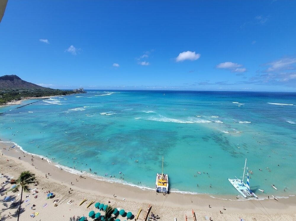
Awesome honeymoon in Hawaii but it had to come to an end. On my flight back now. Still astonished at what I saw meteorologically on the backside of Hana. You go from lush rain forest to downslope volcanic desert. It was the first time I've ever been in a dry environment of that size. Blew my mind. So did the size of Mt Haleakawa. Maui is paradise on earth and even better than I remembered.
- 609 replies
-
- 13
-

-

Severe Weather Threat Week...so many threats!!!
TalcottWx replied to weatherwiz's topic in New England
Look out to your west @Ginx snewx -
Severe Weather Threat Week...so many threats!!!
TalcottWx replied to weatherwiz's topic in New England
Watch the south end of the old Hartford cell. It's splitting and regenerating. -
Severe Weather Threat Week...so many threats!!!
TalcottWx replied to weatherwiz's topic in New England
From before the storm hitting -
Severe Weather Threat Week...so many threats!!!
TalcottWx replied to weatherwiz's topic in New England
Hail!!! Big gusts!! -
Severe Weather Threat Week...so many threats!!!
TalcottWx replied to weatherwiz's topic in New England
Gusting close to 50!!!!! -
Severe Weather Threat Week...so many threats!!!
TalcottWx replied to weatherwiz's topic in New England
Don't think so bulk of movement is ene -
Severe Weather Threat Week...so many threats!!!
TalcottWx replied to weatherwiz's topic in New England
Weird not having a tdwr radar nearby -
Severe Weather Threat Week...so many threats!!!
TalcottWx replied to weatherwiz's topic in New England
This might be developing a hook on the tail of the Hartford cell -
Severe Weather Threat Week...so many threats!!!
TalcottWx replied to weatherwiz's topic in New England
-
Severe Weather Threat Week...so many threats!!!
TalcottWx replied to weatherwiz's topic in New England
I'm just a mile or two south of Hartford. We positioned for this severe cell -
Severe Weather Threat Week...so many threats!!!
TalcottWx replied to weatherwiz's topic in New England
I'm in Rocky hill getting my haircut for Saturday. Nasty looking storm coming right for me. I'm gonna chase it. -
It's insane. Been thinking about it a lot. I am a man of many hobbies, and this one stuck through it all. I credit the people on this sub-forum and those who come before I did. A lot of bad posts, misunderstandings, moodiness- but this place is a diamond in the rough when it comes to people of character. It's been a true pleasure, and I look forward to welcoming the next generation alongside everyone else. I'm a sentimental person lol.
-
from 16 years old to 31 and getting married- I have spent half my life on this board.
-
Looks like I'll roast in my tuxedo Saturday afternoon in Glastonbury
-
Little gusty cell over Hudson Valley
-
Out in the West Texas town of El Paso I fell in love with a Mexican girl Nighttime would find me in Rose's Cantina Music would play and Felina would whirl
-
Tuesday, July 12, 2022 Stupid Severe Potential
TalcottWx replied to weatherwiz's topic in New England
Uhm, holy crap at the cell over Chatham NY! -
Any early pattern look for 7/23
-
Potash is pretty damn expensive right now.
-
Just went to sit on back deck. Saw bright flash of light. Figured putin finally did it or a storm. Thankfully the latter.
-
Anyone going to dead and company at Gillette or Hartford? Band has been on fire. Mayer has hit his stride and they sound amazing.