TalcottWx
-
Posts
28,811 -
Joined
Content Type
Profiles
Blogs
Forums
American Weather
Media Demo
Store
Gallery
Everything posted by TalcottWx
-
 Thankfully some stayed the course.
 -
Ryan mentioned snow growth. It's been spectacular here.
-
2" at least downtown Hartford.
-
It looks to me like we're getting a secondary jack northern CT and just up to and along the pike.
-
About an inch in Hartford. Puking aggies.
-
I love radar for areas just south of Boston.
-
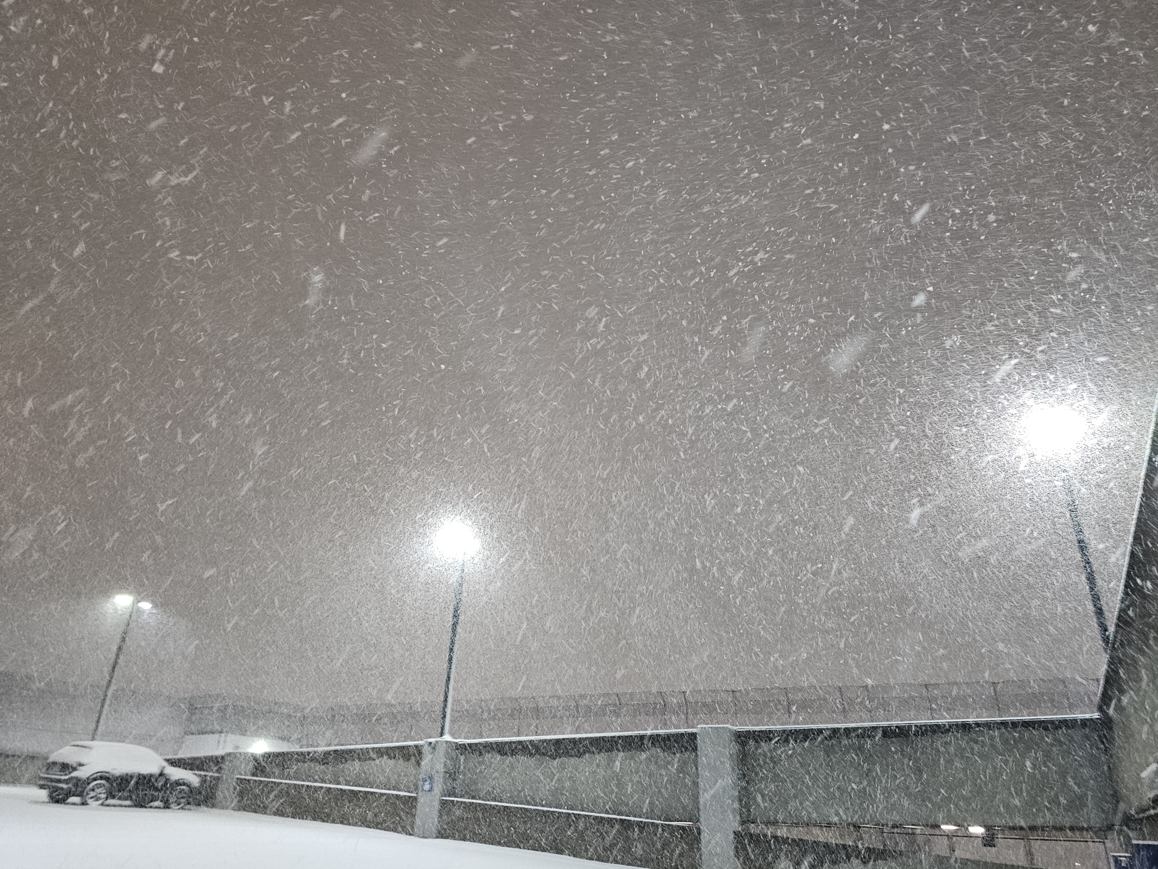
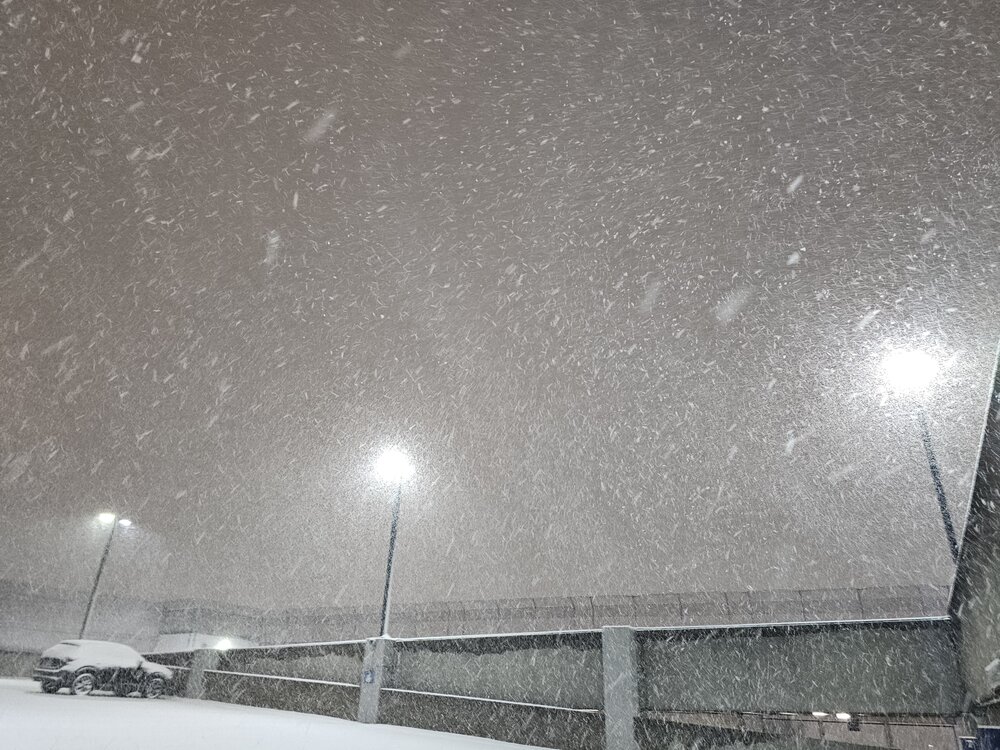
A Pic from the weenie cam back home in Simsbury.

-
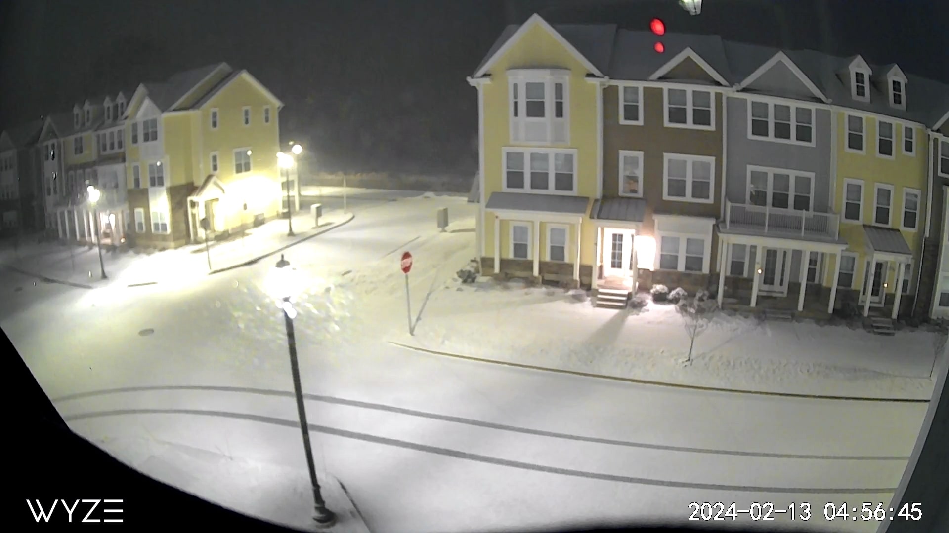
Streets covered here already.
-
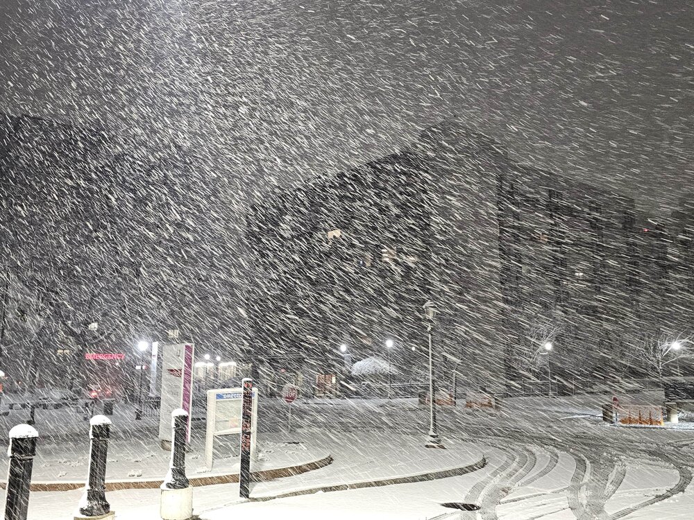
Snowing hard in downtown Hartford, Mid level banding could end up saving some of us, including myself.
-
Snowing in Hartford, visibility dropped fast. Radar looks really good to me personally, at least for MOST of CT to receive a minimum of 3-6". Take it and run. Wife and I have been in labor and delivery room in Hartford since 11 am. A snow baby. What a gift for a weenie.
-
But the QPF maps!
-
Any discussion of 12-15" was always too high, IMO. We could end up verifying lollies to that locally but it's impossible to predict.
-
Also, Corey P's location in N RI could be close to ideal.
-
The 7h maps look perfect to the pike on south
-
You're in the crosshairs for a local jackpot, enjoy.
-
I like Kevin's location. Windham county looks really good. To me the question mark is Litchfield.
-
A lot of areas that haven't jacked in awhile have a shot in this one.
-
Bad winters happen, often times consecutively. It doesn't have to be the end of the world and dramatic when it does.
-
Looks like our friends in southern parts of RI, CT, SE Mass. will receive a very nice storm regardless of recent trends. Let's focus on that important positive.
-
Two scenarios are possible: it'll snow or not snow. Storms will suck, and winters will disappoint. Get over it. Let's maintain some self-respect for the SNE sub forum and act like we've been there before.
-
Seasoned vets shrug off the nonsense.
-
Just ignore the noise.
-
Sniff, sniff, sniff
-
My wife is being induced tomorrow, she'll probably deliver mid-storm late Monday, or early Tuesday. Congratulations!!
-
I am in an excellent spot in Weatogue, but I will be in Hartford during the storm. City should do OK.