TalcottWx
-
Posts
28,811 -
Joined
Content Type
Profiles
Blogs
Forums
American Weather
Media Demo
Store
Gallery
Everything posted by TalcottWx
-
 Taylor Swift doesn't like Boston, so it's raining there for this storm.
 -
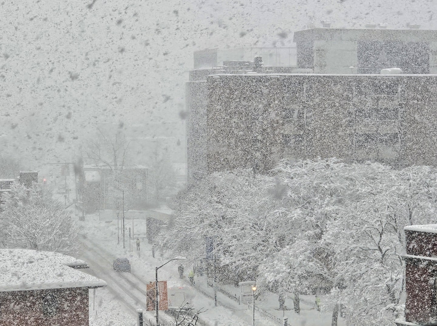
The flakes were incredibly large. Great snow growth all storm long.
-
We can tell, but that's an active choice you're making, negative and pissed off because of your ethnicity. Maybe a little toke and poke will help you get on board with the new world order.
-
He may want to consider skipping directly to Shrooms and/or assisted Ketamine use. If he gets the nasal spray Ketamine, he's one Rainer from ending it.
-
20 minutes ago.

-
Losing touch with reality.
-
Focus is definitely about to shift to eastern new england if it already hasn't.
-
Mid-level frontogenesis & also convergence early on that's been aided by the low deepening and now maturing. That area has been ideal for a variety of factors, including being further away from the ocean. Most of the battle is snow growth I feel a lot of the time.
-
It begins to ramp down quickly next few hours relative to now.
-
About a foot here outside Hartford Hospital. Lmfao.
-
Yeah, Hartford area might go over a foot. Cannot believe this band is regenerating again.
-
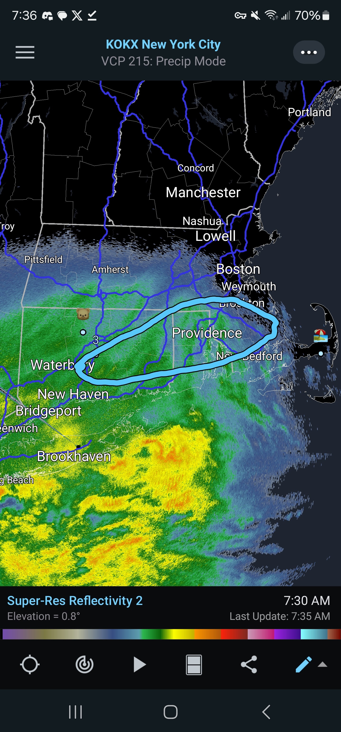
South coast death band is developing.
-
I have no idea what time it is, which is now clear.
-
Cape Cod is going to pound town tonight.
-
Deform sitting right over my house. Love it.
-
Hope you didn't follow that meteorology lesson!
-
I'm trying to will it into existence
-
Completely fair and understandable, I'm so happy compared to what we thought may happen just 12 hours ago.
-
Boston is going to get crushed.
-
It looks like it might be coming together for a lot of E MA peeps. It'll be very close.
-
I'll go 3" there minumum. I think that mid level band gets you. Like BARELY.
-
6" on the Ground outside in Hartford.
-
Very encouraging for us folks Northern Hartford, take a look at banding consolidating and intensifying over NW CT, Litchfield county. That's NW of the main one I've been talking about for eastern portions and shoreline.
-
Correct. Especially anywhere west of Sturbridge.