

NittanyWx
-
Posts
793 -
Joined
-
Last visited
About NittanyWx

-
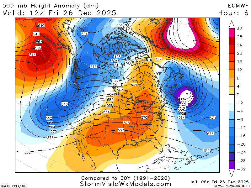
Friends don’t let friends use the NAM. That said, this is clearly a major storm with a lot of 1-2ft amounts and drifts much higher than that. This storm also has a band that will produce 3”/hr rates
-

Extreme Cold, Snow & Sleet: SECS 1/24 - 1/26
NittanyWx replied to TriPol's topic in New York City Metro
Agree, what happens south of the Merrit and between 287 and 80 is still a big questionmark -
Extreme Cold, Snow & Sleet: SECS 1/24 - 1/26
NittanyWx replied to TriPol's topic in New York City Metro
Risk here is primary handoff to coastal and slotting. I think coastal areas, especially Jersey and ELI have a period of sleet, but the slotting on Monday with primary handoff is a tricky feature. Should still be a very solid event, just a mater of top end -
It's got all the pieces. I feel good about being a bearer of good news when we're able to sniff these out a couple weeks in advance. I've had to shit all over a few of these longer range patterns in recent years when people were getting too far over their skis on the weeklies and it's nice to not have to do that right now into early Feb. The snows this past weekend and now this weekend and likely next weekend kinda solidifies the meteo still works even if the models may not have the handle on it.
-
I would expect some sort of warmer correction and a pullback between lobes of cold air injections. Timing that out is tricky, but might be that late 2nd into third week of the forecast. That's always tough to pick out at this range.
-
I'm still here, and I'm thinking this pattern lasts into early February as well. Several chances outside of just this weekend.
-
Maintain the view of a more active southern stream with cold air nosing into the northern tier and potentially into the midcon. MLK weekend is the start of our best pattern potential for higher impact snow storms in quite some time. Pieces are on the board, it's a matter of putting them together.
-
Source region is rebuilt in western Canada by MLK weekend, offering a new cold air supply that should leak into the northeast. I am seeing more signals for active southern stream as well. Think end Jan to early Feb looks pretty decent setup wise at this early juncture as well.
-
January 2026 regional war/obs/disco thread
NittanyWx replied to Baroclinic Zone's topic in New England
Seems a pretty straightforward setup for back half Jan, rebuild source region in western Canada late next week/weekend, likely leaking cold into the northast at times with GOA ridging (-EPO) beyond. Chances for coastals during transition periods, and perhaps a more active southern stream from MLK and after. -
Afternoon runs starting to really coalesce around building the source back. This thaw should have a limited timeframe assuming that's right. Nice to see that around d 10-11 now
-
This next +PNA lacks as much of a source region cold out west and as much HP associated with it, hence the chinook look to things midcon. In theory that should mean less in the way of the vodka cold/dry in Jan that was a staple of much of December. That source region should slowly start to rebuild around MLK weekend and i suspect youll have a hard time keeping the northern tier from leaking colder once that piece returns.
-
Huntington Bay NY SN
-
standard NYC snowfall pattern.
-
Found it interesting that this was another event where a couple AI models kinda sniffed out the trend a run or two before the globals. That said, I think the Euro got its shine on this one.
-
Wilton CT 32.7/32 Coating SN


