.jpg.93eb8afe5d1df4d67bc0eeb78d645380.jpg)
.jpg.7cbeb4b469bd18d447fac5868c43a091.jpg)
Yardstickgozinya
-
Posts
1,534 -
Joined
About Yardstickgozinya

- Birthday 02/18/1979
Recent Profile Visitors


-
.thumb.jpg.6a4895b2a43f87359e4e7d04a6fa0d14.jpg)
Central PA Summer 2026 Discussion/Obs Thread
Yardstickgozinya replied to Voyager's topic in Upstate New York/Pennsylvania
If nothing else, the cumulus out here are getting taller here this afternoon. -
Central PA Summer 2026 Discussion/Obs Thread
Yardstickgozinya replied to Voyager's topic in Upstate New York/Pennsylvania
Nws initially had me extremely excited with there talk of an EML surging this far east out ahead of a potent system.. By the next morning, I was pretty sure they'd picked up the wrong pipe. It seemed to me that the NWS was much more bullish, with their forecast than the SPC. The spc definitely, seemed to use more cautious wording in their forecast and I don't believe they ever mentioned anything about an EML. -
Central PA Summer 2026 Discussion/Obs Thread
Yardstickgozinya replied to Voyager's topic in Upstate New York/Pennsylvania
It's in the billing -
Central PA Summer 2026 Discussion/Obs Thread
Yardstickgozinya replied to Voyager's topic in Upstate New York/Pennsylvania
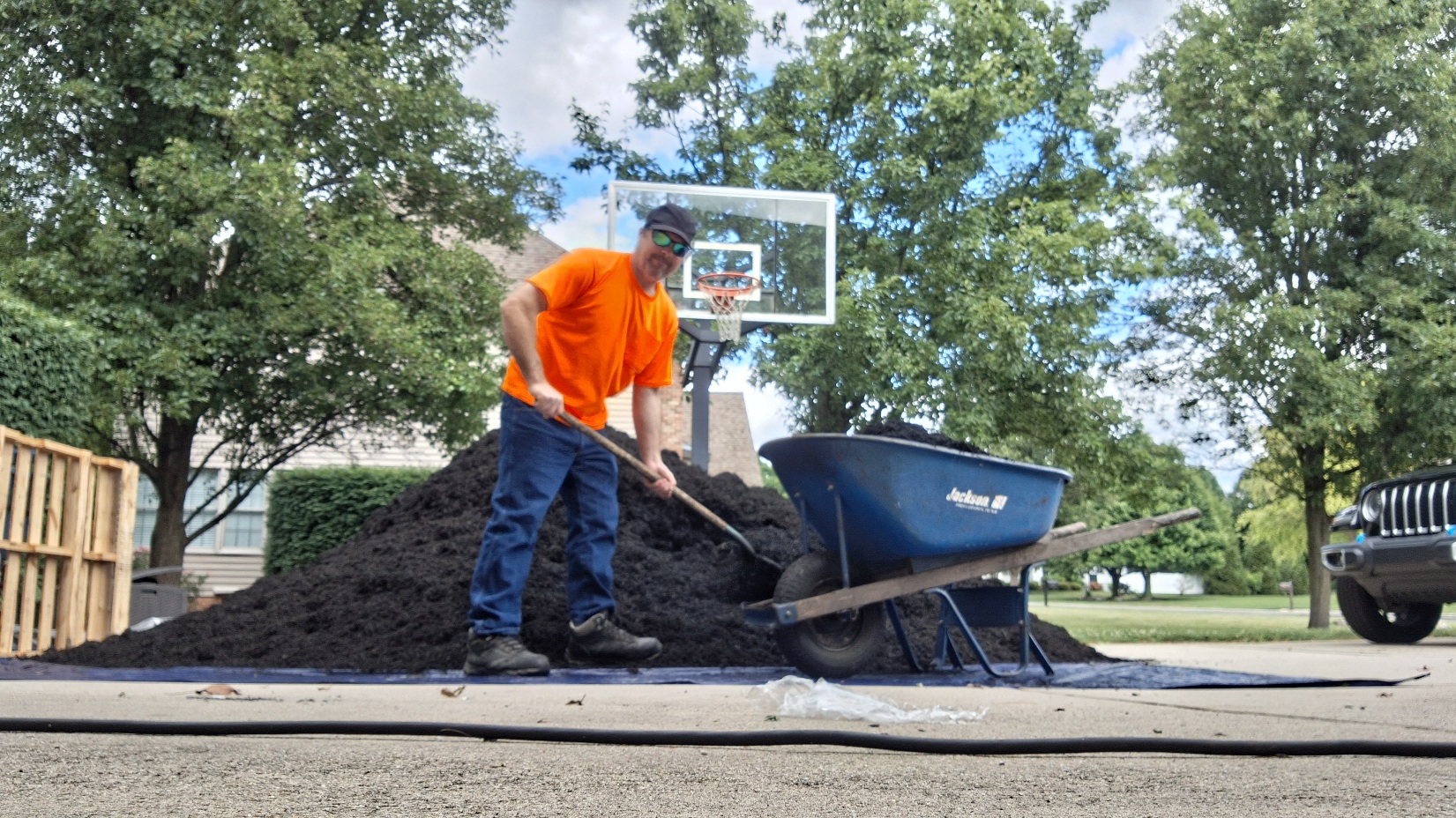
When you enter this part of town in Mechanicsburg, they literally have a plaque that says you are entering the homes of the Upper Class. They put it up in 2020 when everybody else was struggling. In the twenty years, i've been working at this home I've never even seen it used. I've been trying to get them to fork me out some money for some upper class lawn care but apparently, a new Maserati comes out every month.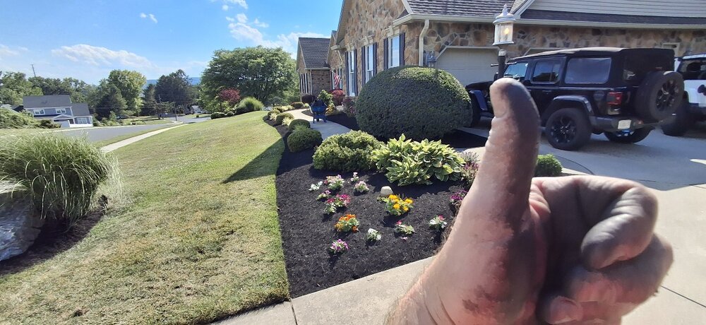
-
Central PA Summer 2026 Discussion/Obs Thread
Yardstickgozinya replied to Voyager's topic in Upstate New York/Pennsylvania
I bet he's feeling good about himself today. -
Central PA Summer 2026 Discussion/Obs Thread
Yardstickgozinya replied to Voyager's topic in Upstate New York/Pennsylvania
Apparently there was a sasquatch. sighting in the neighborhood that I'm working in. They said that it's wearing an orange shirt and a black hat.I looked everywhere.I think these people are full of s***.
-
Central PA Summer 2026 Discussion/Obs Thread
Yardstickgozinya replied to Voyager's topic in Upstate New York/Pennsylvania
Hopefully, every thing turned out, okay with your friends. I was out catching bait with my son and didn't even peek at the radar yesterday. When I get home from work i'll look at storm paths and trajectories, but it doesn't seem like I was most likely looking at that cell. -
Central PA Summer 2026 Discussion/Obs Thread
Yardstickgozinya replied to Voyager's topic in Upstate New York/Pennsylvania
That idea hinged on robust support from the mid levels to aid in that lift . I don't think they're so sure that that will even happen to be honest. -
Central PA Summer 2026 Discussion/Obs Thread
Yardstickgozinya replied to Voyager's topic in Upstate New York/Pennsylvania
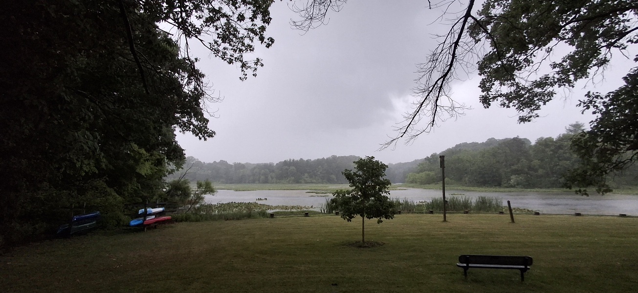
I'm pretty sure I took a picture of it sneaking by me In the rain from pinchot park. -
Central PA Summer 2026 Discussion/Obs Thread
Yardstickgozinya replied to Voyager's topic in Upstate New York/Pennsylvania
Spc hasn't been too impressed either. The only one that has any mention of an EML surge has been NWS and they're still holding on to that in their discussion, although I expect changes are coming. -
Central PA Summer 2026 Discussion/Obs Thread
Yardstickgozinya replied to Voyager's topic in Upstate New York/Pennsylvania
Light rain and thunder over head here at the beaver creek inlet at Pinchot park Edit for update Looks like I just got missed by something a little bette. Watched a couple forks come out of that lowering hiding in the rain.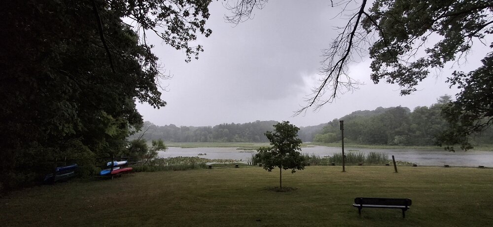
-
Central PA Summer 2026 Discussion/Obs Thread
Yardstickgozinya replied to Voyager's topic in Upstate New York/Pennsylvania
Anyways, i've talked about this for several years and no one's ever really responded to it. But i've used LEMPs for years while i'm driving and working to know what's going on out there. Think of Cipher in the Matrix. Once you've listened long enough, you can make out the kind of stroke, whether or not it's getting closer and intensity. In the context of storms and meteorology, LEMPs stand for Lightning Electromagnetic Pulses. [1] They refer to the powerful, disruptive electromagnetic waves naturally radiated into the atmosphere during a lightning discharge. While they may not pose a physical shock risk to humans directly unless struck by lightning, they can induce dangerous power surges that damage or disrupt electronic devices and power grids. [1, 2, 4] Because lightning activity and cloud-to-ground strikes are a primary indicator of thunderstorm severity and structure, meteorologists utilize artificial intelligence and ground-based sensors to analyze LEMPs to understand a storm's behavior -
Central PA Summer 2026 Discussion/Obs Thread
Yardstickgozinya replied to Voyager's topic in Upstate New York/Pennsylvania
Indeed A cell out there somewhere right now putting out some insane LEMPs. Tune in to an unused, a m frequency and listen you have to choose an a m.Frequency, that puts you between a tower and a storm. You'll know when you get there, you'll hear it. -
Central PA Summer 2026 Discussion/Obs Thread
Yardstickgozinya replied to Voyager's topic in Upstate New York/Pennsylvania
I'm picking up abnormally, strong lightning strokes on my Am radio stations. The strokes generally don't cause this much interference at such long distance. -
Central PA Summer 2026 Discussion/Obs Thread
Yardstickgozinya replied to Voyager's topic in Upstate New York/Pennsylvania
I completely agree, chances are this will be sporadic at best and that's perfectly fine. However, the one thing that all the top dogs have in common is the presence of the EML. It seems to be the main deciding factor between more of the same and a true widespread sig/svr weather when other enhanced indices are present.