

Stormchaserchuck1
-
Posts
2,068 -
Joined
-
Last visited
Content Type
Profiles
Blogs
Forums
American Weather
Media Demo
Store
Gallery
Posts posted by Stormchaserchuck1
-
-
10 minutes ago, Amped said:
Chasing in Greenland anyone?
Good maybe we'll get some snow
-
6 minutes ago, psuhoffman said:
There have only been 2 warm neutral winters since 2000 and 4 since 1950. Way too small a sample to draw conclusions. But neutral is only within .5 of 0. Even a weak Nino often has muted impacts so I think it’s fair to lump all neutrals together. This is the composite for all neutral winters since 2000
We were discussing this the other day. Actually the flip in enso neutral winters accounts for a large portion of our degraded snow climo.
From 1950 to 1993 neutral winters averaged 24” at BWI with 52% above avg.
The last 30 years they avg 12” with 17% above avg. Enso neutral used to be almost as good as Nino and now it’s been the worst enso state the past 30 years by avg, median, and % above normal.
The main cause us a persistent SER. @Terpeast speculated this winter is actually behaving more like a neutral than a Nina. I’ve also tried to point this out when people root for a Nina to fade but it’s too late. Once you enter winter it’s better if the Nina persists. Neutral is even worse! We actually have a better chance at a snowy Feb/Mar in a Nina that doesn’t fade
You'd be better off making conclusion based on subsurface ENSO.. higher correlation. by a pretty significant margin actually vs the surface difference
An example is this year so far being more +PNA vs 10-year average,. when subsurface is +Neutral-weak El Nino vs surface La Nina
-
QBO favorable with Strong El Nino could be awesome
Flip this year for the NAO lol
-
If Nino 1+2 is already warm we will probably be going into El Nino. May has been the month where it backs off or goes full forward lately.
-
 1
1
-
 1
1
-
-
Stupid moderator block on my posts! How long is this going to last? I give real information for fun!
-
 1
1
-
-
-
On 1/27/2023 at 11:48 AM, 40/70 Benchmark said:
I don't think that matters one bit.
As of right now.. will probably change when models change
If we are more +PNA Feb 5-21 we are stuck will possibly a -PNA March. If -PNA hits Feb 5-21 like models are currently showing, there could be some subsurface ENSO strength going into March(which actually won't matter ultimately!) If we run through both timeperiods independent, we are more likely to have an organic ENSO event this year.
-
Wetter than average/-NAO December's evolves into +NAO February's
Drier than average/+NAO December's evolves into -NAO February's
75 years of basis.. pretty cool correlation there. The Feb NAO signal> Dec NAO(pick and choose)
*wetter/drier than average across the US
Strong -PNA December's = -PNA/+NAO February's at 0.68 correlation
Strong +PNA December's = +PNA/-NAO February's at 0.70 correlation
-
1
-
-
8 minutes ago, psuhoffman said:
The rest of our lives
We actually have some pretty big pressure hitting the coast of Alaska today, and it's so warm out.. feels like 50. If the -PNA/+NAO that these LR models are showing verifies it will be 60s/70s
.thumb.gif.13eafe637ffc735e990edf0182ba6806.gif)
.thumb.gif.c7d52e40b85b95b6e015cfc3c564bff9.gif)
^look how this is kind of a 180*/from today, and it's still so warm out. Pressure breaching the N. Pacific is definitely a staple of this time.
(I still think there is a +PNA signal 2nd week of February, will be interesting to see how this evolves.)
-
1
-
 1
1
-
-
13 minutes ago, Ralph Wiggum said:
Is this for the remainder of winter? Seems like it.
I would say no snow through Valentine's day.. easy call
-
1
-
-
8 minutes ago, anotherman said:
- Global ocean heat content (OHC) hit a record high: The upper ocean heat content, which addresses the amount of heat stored in the upper 2,000 meters of the ocean, was record high in 2022, surpassing the previous record set in 2021. The four highest OHCs have all occurred in the last four years (2019-2022).
And the same February pattern is repeating as the last 4 years (as per current models). Mathematical odds of 5 strong -PNA's is actually pretty low.
-
2
-
Feels like 50s today.. I can always tell when the PNA changes. (-PNA, had been +PNA a lot of the Winter)
-
-
21 minutes ago, stormy said:
In reviewing the comments of the last 3 hours I see quite a few comments about the winter Enso condition and snow.
My general opinion about La Nina has been that my area is more likely to be dry winter or summer. I have liked El Nino in the winter because of an encouraged robust STJ and Virginia often being on the north cold side of systems.
Looking back at snow drought years the past couple of days has surprised me. Two out of 4 significant snow drought years from the past 50 years have been El Nino's. A week ago I would have bet that all 4 snow droughts would have been Nina's or neutral.
1972-73 DJF +1.8 Nino 5 inches of snow, 1991 - 92 DJF +1.7 Nino 3.05 inches of snow
Last winter was a DJF -1.0 Nina, yet I received above normal snowfall at 28.50 inches.
These stats throw some cold water on the idea of always better with El Nino, at least for the Central Shenandoah.
It's actually been a wet Winter so far
If we get cold, I think we can get some snow (PNA-NAO have been correlated and when the Pacific is good, I fear NAO could be positive).
Also 2/13 -NAO in December have all time been wetter than average, like we have seen this year. If you use counter-analogs (+NAO/dry December) we get a large composite that has a stronger +NAO February signal than -NAO strength in December (which I picked and chose analogs from!) Pretty incredible correlation there.
No one would probably guess that this has been a shutout (-AO/NAO) v
(reminds me a lot of 97-98)
-
2
-
-
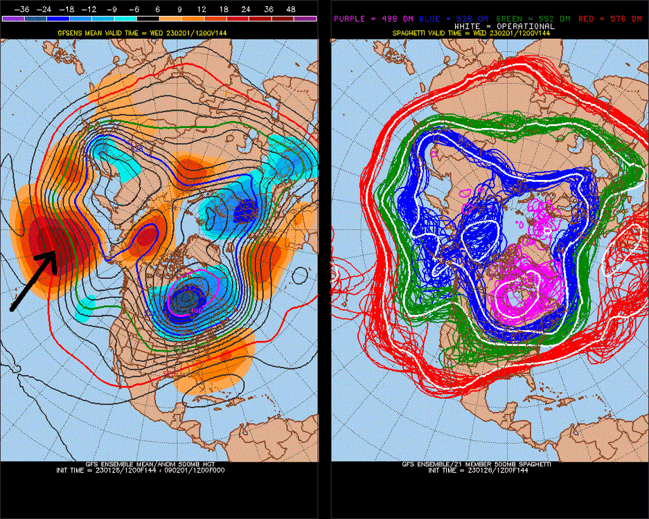
I think LR models have a La Nina bias, and are weighing this too heavily:
result
.thumb.gif.79259830f1770276953cf8125a65923e.gif)
-
1
-
-
9 minutes ago, Maestrobjwa said:
So, any updates on how it's looking right now? Haven't seen a real update here in awhile!
I'm actually waiting for my posts to be approved.. Climatology shows that a strong subsurface warm pool right now leads strong NIno's such as '82 and '97. I think in a larger range of year you would have different results, I think we are going into El Nino, but maybe Weak or Moderate. (It could go strong, and have the N. Pacific have a base -PDO state, such as 72-73.)
-
1
-
-
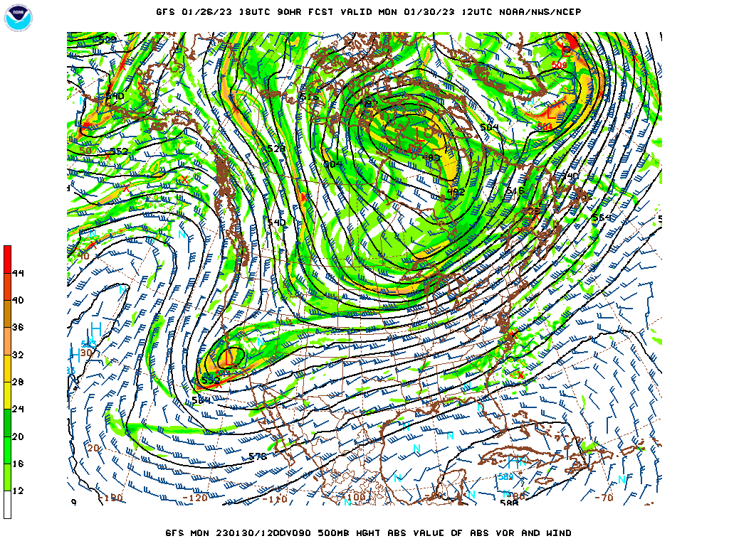
Here you go guys.. flex that SE ridge (84hr 00z NAM vs 90hr 18z GFS)

-
His board?
I love weather. Love obvious right's/wrong's and pointing them out as these are $$traded commodities. Feel like it's an awesome chance and time of peace.. 384hr gfs ensemble now has a -NAO trying to develop, and I nailed that +PNA Feb5th-> call, as of right now, verifying better and better, vs models at 18z. 384hr of the gfs ensemble looks good. I fear this +NAO pacing our coming +PNA. hopefully the modeled -NAO/+PNA happens in the 2nd week of February.
-
2
-
 1
1
-
-
4 minutes ago, stormtracker said:
Hey Chuck. Let me holla at you real quick....
I guess indexes, or index changes aren't considered by models? Weird, easy error. I've seen this verify before close to 100%.
There you go! I'll look forward to 50s, and 60s and rooting on the snow drought into the 2nd week of February.
-
1
-
-
re: 18z GFS: this model will trend much, much warmer in future runs for Medium Range Storm. -PNA, nasty +NAO. could be 60s is my guess.
-
2
-
1
-
-
DCA +5.5 NYC+6.0 BOS +6.5 ORD+5.5 ATL+5.0 IAH +3.5 DEN +1.0 PHX -2.0 SEA -3.0
*Edit 1-31-2023 7pm.
-
1
-
-
eh.. it's phasing into this
I don't like the threat anymore. Just for cold rain. By a lot actually, (Just like PHL covering -2.5)

-
1
-
-
That's a pretty horrible look on the 6z GFS ensemble. After this 72hr storm, it's warm, warm.
-
1
-
-
-PNA signal in March.. doubt we get any snow

.gif.7c1c24ef2f150e93a119e2c04a0bccf1.gif)
.gif.ea2188ba87fd1b67e8915d890c24796a.gif)

.gif.5e58c1829932c8727b1d198cc69f6252.gif)
January/February Mid/Long Range Disco IV: A New Hope
in Mid Atlantic
Posted
Eagles covering -2.5