

78Blizzard
-
Posts
4,054 -
Joined
-
Last visited
Content Type
Profiles
Blogs
Forums
American Weather
Media Demo
Store
Gallery
Posts posted by 78Blizzard
-
-
34.5F here now with more flakes mixing in. We should be flipping over within the hour.
-
39F here, about 5 degrees cooler than 6 hours ago. Won't see any mixing until we get down to 35-36F, which won't be for a few hours yet.
-
The Canadian models and Ukie didn't fair too well with this. Warmistas.
-
 1
1
-
-
Just now, CoastalWx said:
Yeah RGEM continues to be the terd in the punch bowl.
They really need to fix that model and resolve its warmista bias.
-
RGEM has been so awful on this one. That jack at ORH on other models is 1" on the RGEM, lol.
-
Just now, HIPPYVALLEY said:
I am slowly starting to lose interest in this whole thing.
Soon the 0z NAM will be giving us the odds for bridge jumping tomorrow.
-
1 minute ago, ORH_wxman said:
So we’ve got 3 trends west (NAM, RGEM, and GFS...4 if we count icon) and 1 E at 00z (RPM)
GFS def the west outlier at the moment.
I thought RGEM was the furthest west going over the canal area.
-
5 minutes ago, 40/70 Benchmark said:
Sucking H2O
It's all the same to me.
-
5 minutes ago, DomNH said:
And it’s mostly rain.
Yeah, same for you, while less than 40 miles to your NW they get a foot and a half, lol.
-
2 minutes ago, 40/70 Benchmark said:
GFS is awful for this area.....folks can stop lamenting the NAM

Yeah, we're sucking the exhaust here.
-
11 minutes ago, dryslot said:
0z RGEM looked warm and wet.
Anything going over the canal at this time of year and with this air mass in place cannot be good for us in E SNE.
-
1
-
-
Actually, Rockport MA is the jack on that 3k NAM as far as SNE is concerned, which makes sense considering how far E it is.
-
Not a good start for the 0z suite, NAM or not.
-
1
-
-
8 minutes ago, DavisStraight said:
Was going to tune the snow blower, maybe I should hold off.
I just tested mine today. Probably the kiss of death.
-
 1
1
-
-
RGEM treats ME quite nicely.
-
4 minutes ago, STILL N OF PIKE said:
3k nam seems to hit Boston and scooter better than the others over to far eastern Maine but that’s it
Yeah, it has 11" in imh but the snow depth never gets to more than 2", lol. These models are so hilarious.
-
Congrats DE ME on this run, lol.
-
2 minutes ago, dryslot said:
Let me be the first, Toss.
Went from 1.40 to 0.11 QPF on this NAM run, lol.
-
I've still got a few more leaves to rake up.
-
3 minutes ago, dryslot said:
Its weaker and east @H5
925 warmer too, so no dynamic cooling.
-
1
-
-
Be good if the NAM holds serve here at 18Z for us in SNE, maybe even tick a bit colder.
-
Just now, Cyclone-68 said:
If we can now summon up some thunder and lightning to go with it that’d take the cake
I can't take any more of Cantore's antics. Keep him in Atlanta.
-
1
-
-
Do we dare say that the NAM was leading the way on this the past few runs?
-
1
-
-
13 minutes ago, ORH_wxman said:
Is it too early for the RPM?
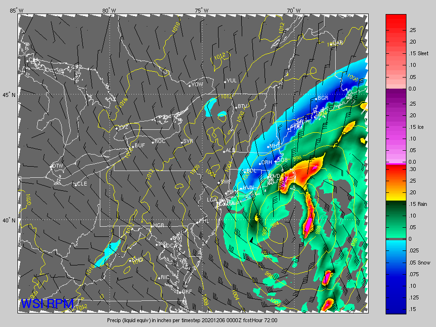
I like the northerly wind flow with it due S of us as it approaches the benchmark.
December 5-6, 2020 Storm Observations and Nowcast
in New England
Posted
Same here. 33F