RedSky
-
Posts
16,991 -
Joined
-
Last visited
Content Type
Profiles
Blogs
Forums
American Weather
Media Demo
Store
Gallery
Everything posted by RedSky
-
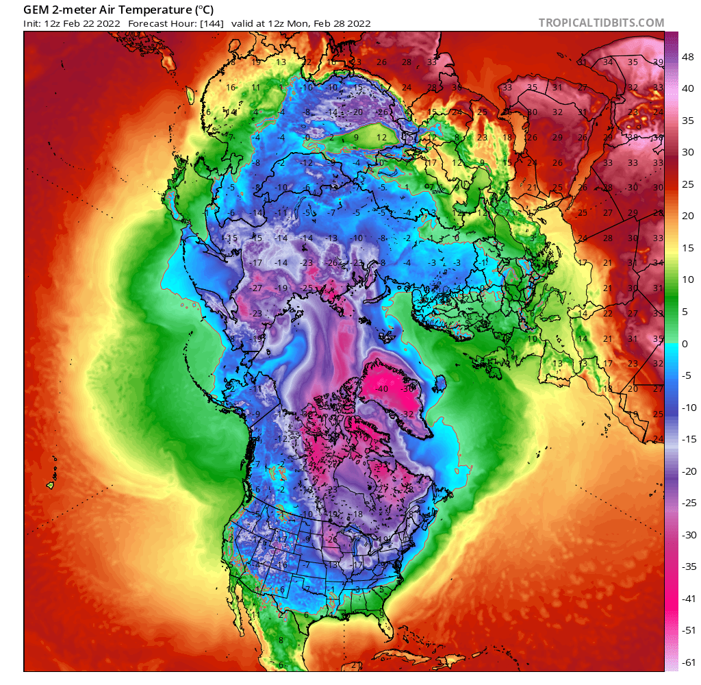
GFS and Canadian were too cold, ECM was the first to moderate it originally had the severe cold.
-

Feb 24-25th Event -- Generators for some, pre-emerg for others
RedSky replied to JTA66's topic in Philadelphia Region
1/3" best I got. Looked like it was headed to tree popping disaster level in the early morning then the rates sputtered out and the temps edged up to 30F and that was that. 1994 lives in infamy. Radar estimates are only near .50" rain. Looks cool out and 33F -
Feb 24-25th Event -- Generators for some, pre-emerg for others
RedSky replied to JTA66's topic in Philadelphia Region
Freezing rain, sleet, graupel everything but the kitchen sink. Around .25" accrual it's happening... 28F -
Feb 24-25th Event -- Generators for some, pre-emerg for others
RedSky replied to JTA66's topic in Philadelphia Region
Only briefly had some sleet mixed in primarily freezing rain and 28F -
Feb 24-25th Event -- Generators for some, pre-emerg for others
RedSky replied to JTA66's topic in Philadelphia Region
Freezing drizzle with a glaze 28F -
Feb 24-25th Event -- Generators for some, pre-emerg for others
RedSky replied to JTA66's topic in Philadelphia Region
Looks like I get ground zero for ice -
Feb 24-25th Event -- Generators for some, pre-emerg for others
RedSky replied to JTA66's topic in Philadelphia Region
Flakes and 29F -
25F in Dallas
-
Feb 24-25th Event -- Generators for some, pre-emerg for others
RedSky replied to JTA66's topic in Philadelphia Region
ECM lost some precipitation this run but still cold with ice -
Sucks it's like oh hey here's an eight hour window of the early spring you were expecting to see
-
Woke up in Orlando
-
ECM is low to mid 30's on Monday significantly less cold push from the PV
-
Feb 24-25th Event -- Generators for some, pre-emerg for others
RedSky replied to JTA66's topic in Philadelphia Region
The ECM joined the CMC showing a catastrophic ice storm, need a north trend -
Feb 24-25th Event -- Generators for some, pre-emerg for others
RedSky replied to JTA66's topic in Philadelphia Region
Yeah this looks bad not going to avoid this one -
Feb 24-25th Event -- Generators for some, pre-emerg for others
RedSky replied to JTA66's topic in Philadelphia Region
Not in the slightest Additionally it starts overnight early morning with no help from the sun -
Feb 24-25th Event -- Generators for some, pre-emerg for others
RedSky replied to JTA66's topic in Philadelphia Region
UKMET also an ice hit -
Feb 24-25th Event -- Generators for some, pre-emerg for others
RedSky replied to JTA66's topic in Philadelphia Region
ice ice baby
-
Squished oval PV visit again and again and again

-
The GFS says N&W of Philly doesn't get out of the teens next Tuesday. Never seen it that cold this late. Canadian is only slightly higher with low 20's
-
The ice hole on the GFS helps save the upper counties and lower Lehigh lol
-
Weeklies have a cold March
-
It's the same as the last modeled ice storm at this point in time. Over the next couple days it continued to tick north and that was that. The cold was there and it lost last time this will be interesting if it repeats.
-
0z runs a b movie train wreck. Only thing good was GFS found Ralph's spring after the arctic blasts.
-
March opens with Highs in the 20's and single digit lows that's cold in January. No reason to believe anything beyond that other then the pattern is to torch and reload the cold. Snow in April dude wait and see.
-
I have .10" more snow than Williamsport lol