CT Valley Dryslot
-
Posts
345 -
Joined
-
Last visited
Content Type
Profiles
Blogs
Forums
American Weather
Media Demo
Store
Gallery
Everything posted by CT Valley Dryslot
-
Nonsense. I wanna see 1000 people in this thread tonight.
-
I don't really like Scott Haney, though he's not a real met.
-
2/3s of EPS members are big hits back to HFD.
-
Then you'll also be shocked to know the GFS has existed since 1980.
-
Some other forums would have locked it by now.
-
I feel bad for Kuchera and his last name being objectified.
-
My father, no matter the storm, always says it's a bust. He said Nemo was underwhelming.
-
Honestly I think you're fine for warn snows along and east of 84. Litchfield, Berkshire, Franklin, Hampshire and Hampden Counties are perhaps in jeopardy.
-
A 40mi shift either direction can still happen and would have major implications for the whole board.
-
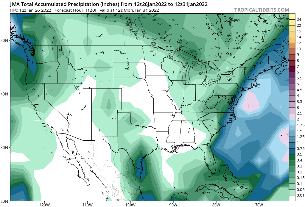
JMA brought 1" of liquid to BDR. Would be a MECS/HECS.
-
The plan really is for NCEP to retire it and replace it with an FV3-based hi-res version of the GFS.
-
If Josh were admin he'd lock this thread.
-
When they ingest satellite data, are they using more than just GOES-EAST and WEST?
-
Why tf are you using kuchera?
-
Unless of course all the NCEP models are wrong, which has happened before.
-
Does WPC still have a model diagnostic text discussion?
-
I don't understand why they use such big snow maps. Literally no one in CT receives WCVB or WBZ over the air.
-
GEFS mean is slightly west. Tighter spread.
-
Careful not to add an "I" in between that.
-
Curious to see the 18z Euro. 18z CMC was slightly east.
-
GFS has had a fairly consistent day today.
-
I've been 75 miles off Chatham before in a fishing boat. It's amazing. With no land in sight the ocean swells look like hills and valleys.