

Owensnow
-
Posts
134 -
Joined
-
Last visited
Content Type
Profiles
Blogs
Forums
American Weather
Media Demo
Store
Gallery
Posts posted by Owensnow
-
-
2 minutes ago, michsnowfreak said:
That's only thru 72. Thru 84 looks even better.
I am hoping for 16-18 here lol
-
 1
1
-
-
6 minutes ago, AWMT30 said:
Euro still pretty good for the Detroit Metro!
I think DTX is good at 8-14 for sure, down where I am, I line up with TOL on a SW to NE positive tilt. Thinking 9-18 here. Maybe 20 on the outside.
-
16 hours ago, michsnowfreak said:
Today's 3.1" snowfall had 0.20" liquid. Pure powder. Forecast tomorrow is 2-4".
And today is going south of us lol. All heavy banding is south of the MI/OH border, not like the NWS said at all. Might see 1.5 inches here.
-
 1
1
-
-
3 Inches here north shore of Lake Erie, Kingsville, Ontario, Canada
hoping for 2-5 from the next
-
14 minutes ago, rochesterdave said:
Your hope is our disaster. Lol
I get that but cant help but think a 75-100 mile shift west is logical. Most storms that head to this region end up much farther north and west than previously thought.
We currently are running a zero snow cover and extreme snow drought.
-
 2
2
-
-
Really hopeful this thing amps up and makes a NW jog to put me in some snows. Very close to nothing right now.
-
1 minute ago, wolfie09 said:
Rgem FTW?
.thumb.png.e41503c7f448a945d28e3043fb85f0f0.png)
.thumb.png.e3058ba796b31ad08666364a12b621d6.png)
Watch it go NW lol
-
1 minute ago, TugHillMatt said:
Lol..we don't even start as snow on the NAM
Sampled?
-
5 minutes ago, TugHillMatt said:
Especially when all the Canadians come out from hiding...
LOL thanks
-
 1
1
-
-
15 minutes ago, blizzardof96 said:
Tough to say at this point. Small changes in the strength/positioning of the plains vort is resulting in practical changes to the low track. This alters the position of the deformation zone. Recent runs have been trending a bit further south/stronger with the plains vort... leading to more phasing with our cutoff low. Under this scenario (eg 18z ECMWF), the heaviest snow band tracks a bit further NW through GTA etc. Another plausible scenario is something like the 18z NAM which is a bit less phased with the low track further east. Future runs (starting with 0z tonight) should help clarify things and build consensus... hopefully.
Well said,
Are there any older model runs that previously had shown a more phased NW solution? Sometimes I find the models get it long range but as things get closer, yet still outside of 48 hours, they revert back to the original runs.
-
1
-
-
3 minutes ago, blizzardof96 said:
Fingers crossed that we get into that deformation zone in Toronto
Thoughts on NW Camp?
I am near Leamington, ON
-
7 minutes ago, lakeeffectkid383 said:
I’m fully expecting sleet even being near Buffalo.
You think the NW camp is starting? I am in Kingsville, ON. Euro currently shows 3 inches or so here (18Z)
-
Well...
I have to say, I thought SEMI and NW OH and myself were going to see a re-curve with this one. Odd natured beast to say the least. Although this winter has been anything but normal so far. I think we have had maybe 7 inches so far, most of that coming in NOV and Early Jan.
It looks as though we are out of the running for any significant southern storm track systems for some time to come. That would likely leave us with one of the most snowless Dec-Jan periods I can recall.
Come on now, throw us a few bones mother nature!
-
Gonna call 2-5 inches in my neck of the woods (Kingsville Ontario)
-
Gotta be 40mph gust here, Kingsville, Ontario, Canada
insane
heavy snow
-
2
-
-
1 minute ago, StormfanaticInd said:
This is on of the better storms I've seen in quite some time
Blizzard conditions here have not seen storm storm like this since the mid 90s.
-
4
-
 1
1
-
-
SEMI and SW Ontario
Got to be wind gust here topping 35 right now.
Snow ratios are insane. It’s pure arctic snow.
went out with the plough once already on the driveway and literally made no difference.
almost seems like 2 inch per hour rates.
-
1
-
-
Goose egg here
trace amount in the face of the 1-3 forecasted.
models did terrible
2 inches snow cover on the ground total for the last week.
-
And just like that it goes waaay north again
and these models are having a hell of a time with this in SEMI and SW Ontario
hopefully that’s a signal for the next two storms they will be further north west and we will actually get some snow that wasn’t predicted.
-
13 minutes ago, michsnowfreak said:
More glittery light snow. Snowpack is definitely stayed fresh lol
Looks like possibly 2-4 inches here
-
1
-
-
32 minutes ago, frostfern said:
This is really cool...
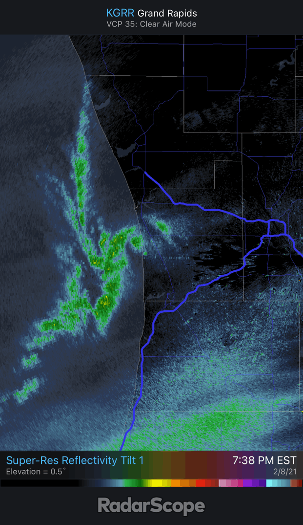
WTF that is insane meso
-
1
-
-
13 minutes ago, Frog Town said:
Holding together here in NW OH and SE MI for some nice high ratio fluff. Still amazing the trend this winter for systems to fade as they reach this longitude....
Absolutely this should be a surprise I would think given the downstream obs from earlier.
-
Bring on April please
this pattern is a write off here in SEMI and SW Ontario
plenty of cold but no storms possible this far north (suppression)
-
Ripping here like never before
.png.4d3e6f0f51b9c3919019a44408c292a6.png)
.png.27ceb4113e226f92167123df30b08af9.png)

Feb 1-3rd GHD III Part 2
in Lakes/Ohio Valley
Posted
I think this is overdone, the SREF plumes mean is less than 10 inches for TOL. That changeover timing is becoming farther delayed. Also QPF from second wave is waaayy down.