Clavinet
-
Posts
6 -
Joined
-
Last visited
Content Type
Profiles
Blogs
Forums
American Weather
Media Demo
Store
Gallery
Everything posted by Clavinet
-
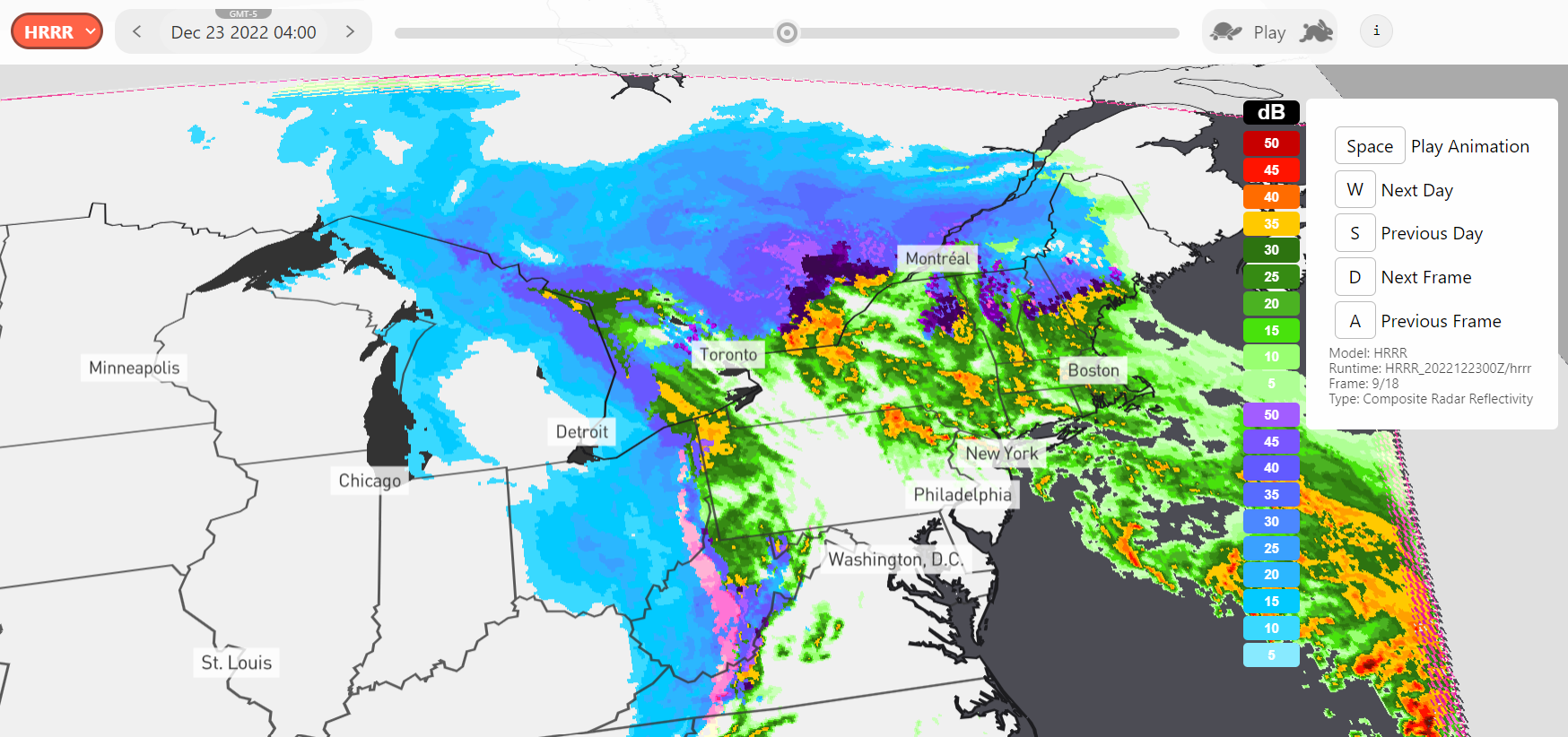
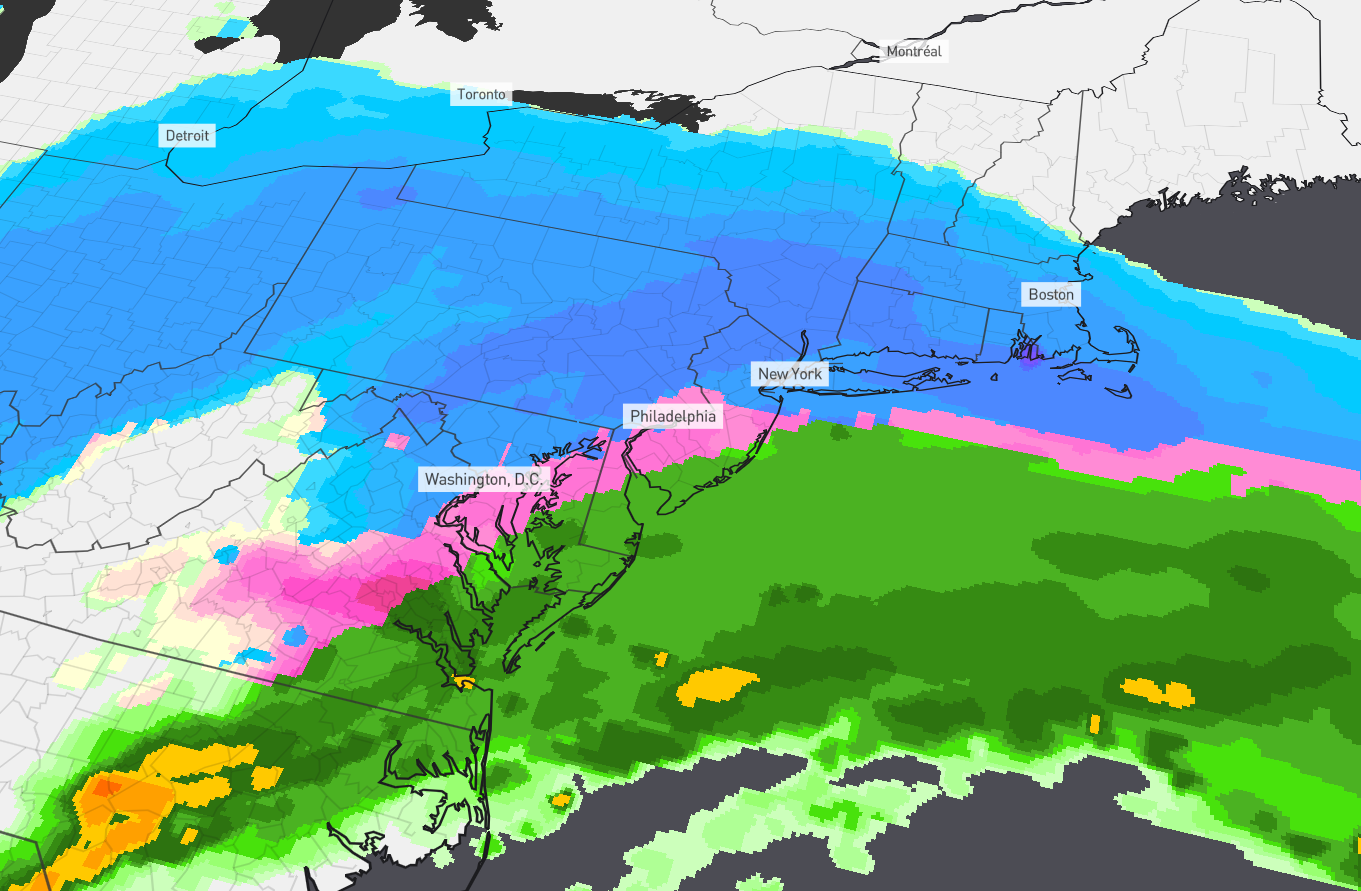
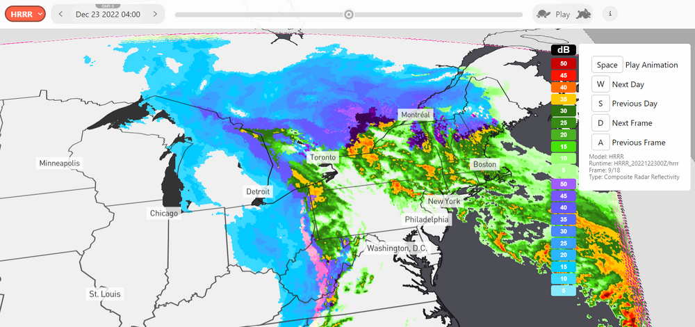
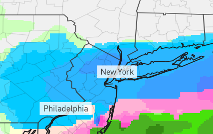
Hey everyone! I recently created a website that allows you to track weather patterns and storms using radar reflectivity maps. I made it for my own use, but I thought others might find it useful too. If you're interested in checking it out, I'm open to any feedback or ideas you might have for improving the site. Currently it features the GFS model at .25deg resolution, the NDFD snowfall forecast, and the HRRR composite radar reflectivity. https://snowdar.com/ If you have any spare time to mess around with it, feel free! Thanks everyone!
-
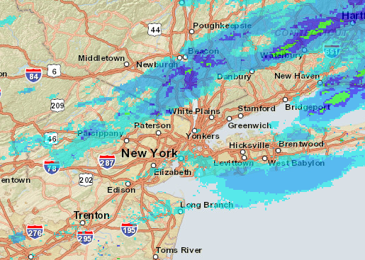
Euro's snow reflectivity for 5-6pm is in the wrong spots? Is this storm still happening? Feels like it's just barely making it across for CT.
-
Ok Euro is looking REALLY nice now! (Feb 18) It's moving further east than the earlier runs. I'm really hoping this can pull through. We'll see what happens...

-
GFS reflectivity for February 18th has my attention . Still too far out to really call anything but there's definitely something in the making.
-
I love your profile picture! That one was easy to recognize.
-
For anyone here who may have the spare time to explain this. I recently used the NOHRSC snowfall analysis to create contours using the same snowfall increments as TWC. Why is theirs showing much more pink (24+ inches) throughout the middle? TWC: NOHRSC: