

Gordo74
-
Posts
227 -
Joined
-
Last visited
Content Type
Profiles
Blogs
Forums
American Weather
Media Demo
Store
Gallery
Everything posted by Gordo74
-
Pittsburgh/Western PA Winter 2024-2025 Thread
Gordo74 replied to Rd9108's topic in Upstate New York/Pennsylvania
So far it's been nice with a few bursts and a few small top ups to keep everything fresh and white, but after a couple weeks with nothing and the bare ground/trees, it's hard not to feel pessimistic. Nice little quick duster coming through now though! -
Pittsburgh/Western PA Winter 2024-2025 Thread
Gordo74 replied to Rd9108's topic in Upstate New York/Pennsylvania
I heard that all last winter.... the long range never came. -
Pittsburgh/Western PA Winter 2024-2025 Thread
Gordo74 replied to Rd9108's topic in Upstate New York/Pennsylvania
Nice surprise yesterday in Westmoreland. Ended up with juuust under the amount needed to cover the grass tops, but surely enough to turn everything white. Added to the seasonal feeling. Carrot/Apple Weather seem to think a larger threat next Thursday into Friday (6-10") east of the city. Anyone seeing something similar? -
Pittsburgh/Western PA Winter 2024-2025 Thread
Gordo74 replied to Rd9108's topic in Upstate New York/Pennsylvania
It was nice waking up to a dusting here and having a dusting north of the city yesterday for getting the tree on the farm. Has felt more winter this week than all of last year. -
I plan to be just east of Cleveland on a beach but the forecast keeps wavering from 40%-70% cloud cover. Driving me mad all week.
-
Pittsburgh, Pa Winter 2023-24 Thread.
Gordo74 replied to meatwad's topic in Upstate New York/Pennsylvania
Does it REALLY suck when the forecast less than 48 hours ago was half of what you actually got? -
Pittsburgh, Pa Winter 2023-24 Thread.
Gordo74 replied to meatwad's topic in Upstate New York/Pennsylvania
Agreed - that's why I blocked TimB and KPitSnow a long time ago and the thread is much more factual and weather discussion rather than whining and complaining. Instead of doom and gloom, it is excitment and fun speculation rather than temper tantrums and poopy pants. -
Pittsburgh, Pa Winter 2023-24 Thread.
Gordo74 replied to meatwad's topic in Upstate New York/Pennsylvania
It’s been a beautiful snow globe all morning here. Approx. 3”, which based on temps, serves as a really nice base for Friday if it plays out. This past week has really brightened my mood about winter with the cold and few snow bursts that stick around. It’s certainly nice to enjoy. -
Pittsburgh, Pa Winter 2023-24 Thread.
Gordo74 replied to meatwad's topic in Upstate New York/Pennsylvania
New band came out of nowhere for the east, sitting at about 2” with another 2” to come in the new band according to Wunderground. We will see, but this is a nice surprise -
Pittsburgh, Pa Winter 2023-24 Thread.
Gordo74 replied to meatwad's topic in Upstate New York/Pennsylvania
Got a quick unexpected inch here overnight and, given the temps, should be on the ground for a long time. Makes it feel like winter. The wind gust took a piece of siding off though, so it’s not all good news -
Pittsburgh, Pa Winter 2023-24 Thread.
Gordo74 replied to meatwad's topic in Upstate New York/Pennsylvania
I don’t buy those high totals and I’m capping my expectation at 4”, but that certainly would be a welcome surprise. -
Pittsburgh, Pa Winter 2023-24 Thread.
Gordo74 replied to meatwad's topic in Upstate New York/Pennsylvania
WWA for Westmoreland. Winter Weather Advisory Issued by National Weather Service Pittsburgh, PA 2:23 PM EST Fri, Jan 5, 2024 ...WINTER WEATHER ADVISORY IN EFFECT FROM 7 AM TO 10 PM EST SATURDAY... * WHAT...Snow expected. Total snow accumulations between 2 and 5 inches. * WHERE...Portions of northwest and western Pennsylvania. -
Pittsburgh, Pa Winter 2023-24 Thread.
Gordo74 replied to meatwad's topic in Upstate New York/Pennsylvania
FWIW, weather underground for my location has bumped up in the last 24 hours and now shows 4” and changed the verbiage to “3 to 5 inches expected” whereas before it was 1”. -
Pittsburgh, Pa Winter 2023-24 Thread.
Gordo74 replied to meatwad's topic in Upstate New York/Pennsylvania
I don’t think anyone would be sad at this in western PA based on the roller coaster of the last week.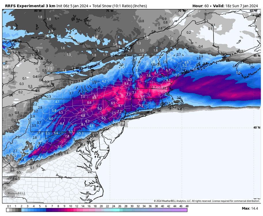
-
Pittsburgh, Pa Winter 2023-24 Thread.
Gordo74 replied to meatwad's topic in Upstate New York/Pennsylvania
Yup and I’ll be happy for it after 2023. -
Pittsburgh, Pa Winter 2023-24 Thread.
Gordo74 replied to meatwad's topic in Upstate New York/Pennsylvania
Again, I'll take just the grass covered at this point as I said from the get go before the new year. We're halfways there after overnight. -
Pittsburgh, Pa Winter 2023-24 Thread.
Gordo74 replied to meatwad's topic in Upstate New York/Pennsylvania
You’re not sucking me in this early this time, jack. -
Pittsburgh, Pa Winter 2023-24 Thread.
Gordo74 replied to meatwad's topic in Upstate New York/Pennsylvania
I'm not jumping, but I do want to call out, looking historically to 2021 when we actually got snow, the Euro nailed pretty much every storm that year with totals whereas the others were busts. EDIT: Still happy with anything that covers the grass for this one. It has been way too long since.... anything and at this point, I'll appreciate anything. -
Pittsburgh, Pa Winter 2023-24 Thread.
Gordo74 replied to meatwad's topic in Upstate New York/Pennsylvania
I’d take anything that covers the grass at this point. -
Pittsburgh, Pa Winter 2023-24 Thread.
Gordo74 replied to meatwad's topic in Upstate New York/Pennsylvania
Didn't see this depressing stat posted here: I get that the negativity can be... over the top here sometimes. But when it's been a year+ and the 2nd worst year in weather history for the area..... MAYBE it's sometimes warranted. -
Pittsburgh, Pa Winter 2023-24 Thread.
Gordo74 replied to meatwad's topic in Upstate New York/Pennsylvania
I’m pleasantly incorrect in my earlier comments. It’s snowing buckets in Monroeville/Murrysville now. -
Pittsburgh, Pa Winter 2023-24 Thread.
Gordo74 replied to meatwad's topic in Upstate New York/Pennsylvania
Weather underground which has gone from 2.5” to 0.3” in Murrysville. NWS updated totals as well about an hour ago and shows no accumulation pockets all over Allegheny and westmoreland. -
Pittsburgh, Pa Winter 2023-24 Thread.
Gordo74 replied to meatwad's topic in Upstate New York/Pennsylvania
Aaaand it’s gone. -
Pittsburgh, Pa Winter 2023-24 Thread.
Gordo74 replied to meatwad's topic in Upstate New York/Pennsylvania
Sure as heck would be preferable to last winter when we didn’t even crack 20” if I remember right. -
Pittsburgh/Western PA Fall 2023 Discussion
Gordo74 replied to Ahoff's topic in Upstate New York/Pennsylvania
It was nice to get a little blast on winter, but nothing good on the next few days :(

