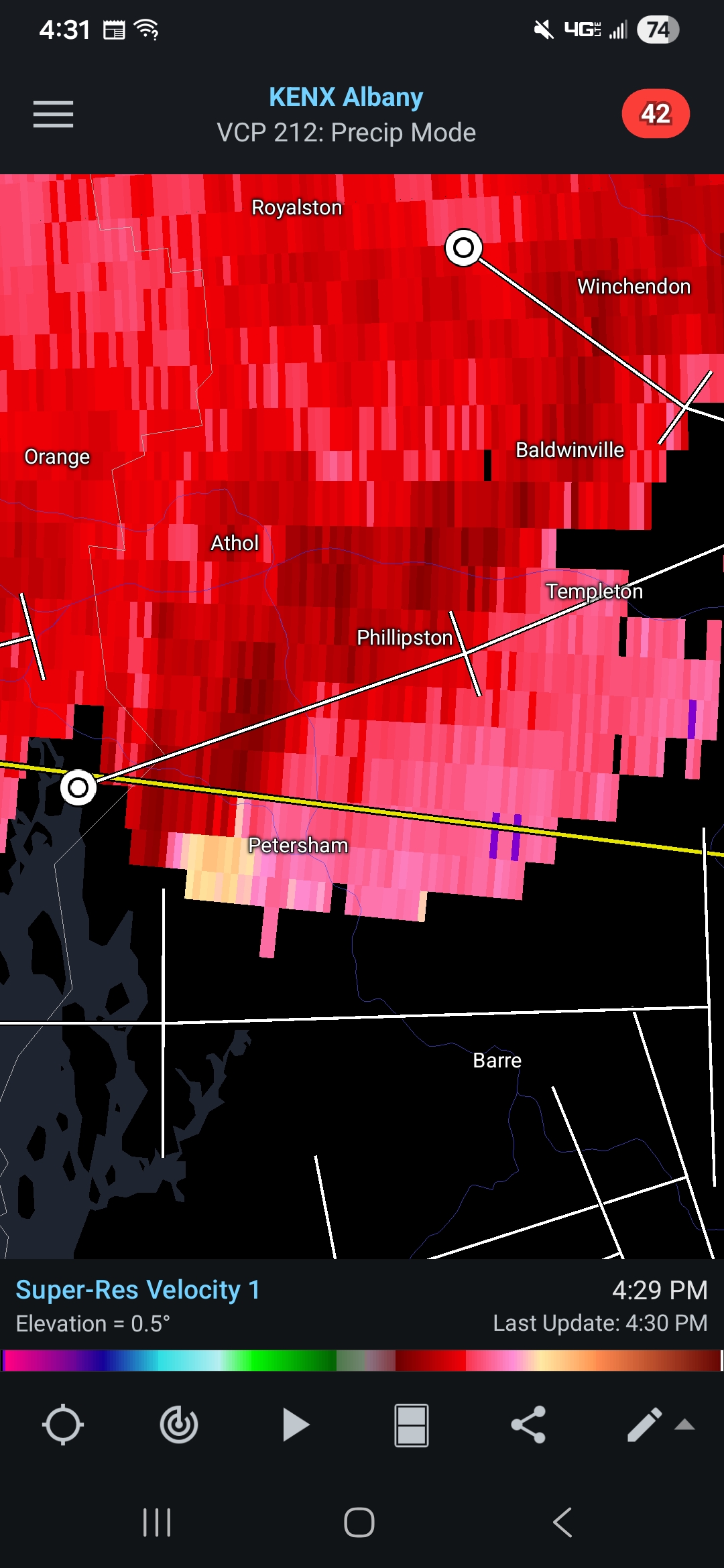
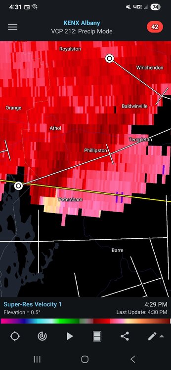
another great week coming up!!
This Afternoon
A chance of showers and thunderstorms, mainly after 5pm. Mostly sunny, with a high near 74. West wind around 14 mph, with gusts as high as 30 mph. Chance of precipitation is 30%. New rainfall amounts of less than a tenth of an inch, except higher amounts possible in thunderstorms.
Tonight
A chance of showers and thunderstorms, mainly before 7pm. Mostly clear, with a low around 53. West wind 5 to 8 mph becoming calm in the evening. Chance of precipitation is 30%. New precipitation amounts of less than a tenth of an inch, except higher amounts possible in thunderstorms.
Sunday
A chance of showers and thunderstorms, mainly between 3pm and 5pm. Increasing clouds, with a high near 76. West wind 5 to 8 mph. Chance of precipitation is 30%. New rainfall amounts of less than a tenth of an inch, except higher amounts possible in thunderstorms.
Sunday Night
A chance of showers and thunderstorms before 7pm. Increasing clouds, with a low around 53. Light west wind. Chance of precipitation is 30%.
Monday
Showers likely, with thunderstorms also possible after 5pm. Mostly cloudy, with a high near 71. Calm wind becoming southeast around 6 mph in the afternoon. Chance of precipitation is 70%.
Monday Night
Showers and possibly a thunderstorm before 1am, then showers likely. Low around 55. East wind 3 to 7 mph. Chance of precipitation is 90%.
Tuesday
A chance of showers before 8am. Mostly sunny, with a high near 77. Northwest wind 5 to 9 mph. Chance of precipitation is 30%.
Tuesday Night
Mostly clear, with a low around 55. Northwest wind 3 to 5 mph.
Wednesday
Sunny, with a high near 81. Northwest wind 3 to 5 mph.
Wednesday Night
Mostly clear, with a low around 57. Calm wind.
Thursday
A chance of showers. Mostly sunny, with a high near 79. Calm wind becoming southwest around 6 mph in the afternoon. Chance of precipitation is 30%.
Thursday Night
A chance of showers. Mostly cloudy, with a low around 57. South wind around 5 mph becoming calm in the evening. Chance of precipitation is 40%.
Friday
Showers likely. Partly sunny, with a high near 77. Calm wind becoming south 5 to 7 mph in the afternoon. Chance of precipitation is 60%.
Friday Night
Showers likely. Mostly cloudy, with a low around 57. South wind around 5 mph becoming calm in the evening. Chance of precipitation is 60%.
Saturday
A chance of showers. Partly sunny, with a high near 78.


.thumb.png.e71491c6845f228ab41a95c57b89d5d2.png)


.png.8fed35afb4c50cb865165d4db13c8020.png)