NEILwxbo
-
Posts
161 -
Joined
-
Last visited
About NEILwxbo

Recent Profile Visitors


-
1/30-1/31 Lake Effect Snow Threat - SE WI, NE IL, and NW IN
NEILwxbo replied to A-L-E-K's topic in Lakes/Ohio Valley
Picked up a quick inch from the initial band, sun is out now just 2 miles west of the loop. We’ll see what the later stuff does as it swings through -
1/24-1/25 Major Winter Storm - S. IL, IN, and OH
NEILwxbo replied to A-L-E-K's topic in Lakes/Ohio Valley
The lake should do this more often Amazing walk wx before the cold settles back in. Rates pretty slow outside of best banding now, more showery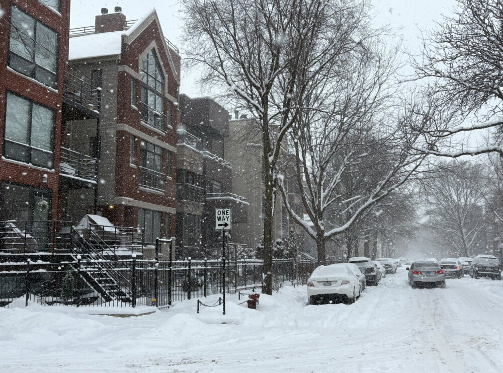
-
1/24-1/25 Major Winter Storm - S. IL, IN, and OH
NEILwxbo replied to A-L-E-K's topic in Lakes/Ohio Valley
Perfect
-
1/24-1/25 Major Winter Storm - S. IL, IN, and OH
NEILwxbo replied to A-L-E-K's topic in Lakes/Ohio Valley
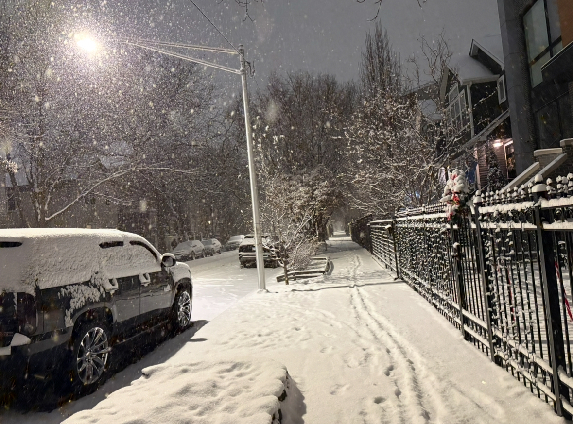
Snowglobe downtown, near 2” along the lake it appears now. Exceeding expectations. Would be nice if that mesovort can pivot this way tomorrow morning -
Dec 6-7th (It's not a clipper) Clipper
NEILwxbo replied to Chicago Storm's topic in Lakes/Ohio Valley
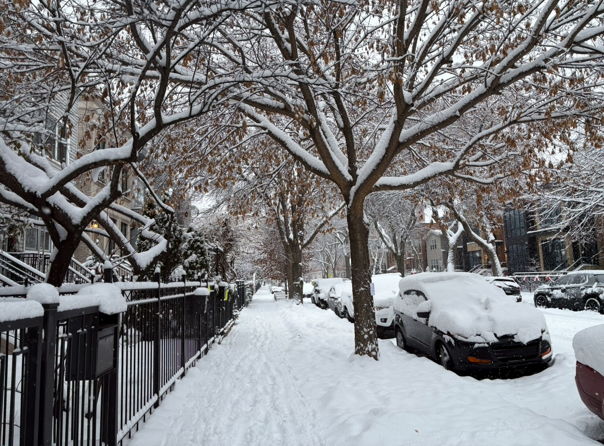
What a beautiful, snowy Sunday morning
- 97 replies
-
- 10
-

-
Dec 6-7th (It's not a clipper) Clipper
NEILwxbo replied to Chicago Storm's topic in Lakes/Ohio Valley
Dumping large flakes on the north side. Radar across E IA/W IL looks real good for now. -
Nov 28-30th Post Turkey Day Winter Storm
NEILwxbo replied to Chicago Storm's topic in Lakes/Ohio Valley
SPECI KORD 291722Z 14011KT 1/4SM R10L/2400V3500FT +SN FZFG VV006 M03/M04 A3023 RMK AO2 P0002 T10281039 -
Nov 28-30th Post Turkey Day Winter Storm
NEILwxbo replied to Chicago Storm's topic in Lakes/Ohio Valley
Last hour received 0.4” at ORD, with heavier returns moving in now & vis down to 1/2SM, should be north of 0.5/hr rate going forward for awhile. -
Nov 28-30th Post Turkey Day Winter Storm
NEILwxbo replied to Chicago Storm's topic in Lakes/Ohio Valley
Just under an inch already at ORD, seems to be off to a good start. -
The run to run changes on the NAM are remarkable. Let's hope others follow suit
-
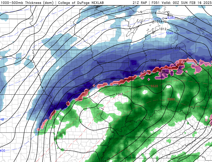
May this be a precursor to 00z runs. Too bad its the RAP
-
Winds are northwesterly just about everywhere once you get ~4-5 miles inland, even MDW flipped from NE to NW. Would think it’d favor that area of convergence but
-
LE bands can be surprising, let’s see what happens
-
Well, continued NW bumps on the NAM/HRRR and bullish on targeting I-55 corridor.
-
Winter 2023/24 Medium/Long Range Discussion
NEILwxbo replied to Chicago Storm's topic in Lakes/Ohio Valley
Have a feeling the beginning of next week is going to be quite icy