SUNYGRAD
-
Posts
260 -
Joined
-
Last visited
About SUNYGRAD

-
-
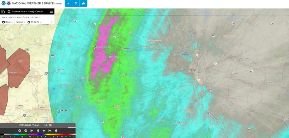
Impressive heavy rain band overnight. More here (parts of Triad area) than I was expecting, but will take it.
-

2026-2027 Fall/Winter Mountain Thread
SUNYGRAD replied to BlueRidgeFolklore's topic in Southeastern States
52 here near W-S. -
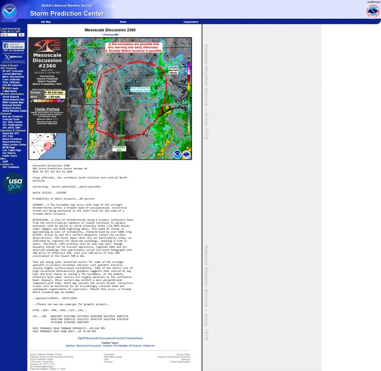
The HRDPS reflectively did pretty good on the 06z and 12Z runs yesterday with storms over central PA yesterday extending SE, and the most current SPC storm reports (from yesterday). Today's HRDPS 6z seems to do ok thus far, but the southern storm complex (modelled) is a little farther north. Still doing better than most of the other short-term modeling. Thought I would chime in, since I have family in NY, friends in PA, and was watching the evolution yesterday and providing some short-term forecasts. Like all the discussions.
- 2,562 replies
-
- 1
-

-
- severe
- thunderstorms
- (and 7 more)
-
The CanSIPS monthly model run recently came out for September and it is still indicating lower heights generally in December thru March centering generally in lower Mississippi valley-----extending east. What is interesting is the last 3 runs or so have lowered heights some in the same general area. What that means at this point? Hard to say, but if you also look at precip for same period, it continues to show a possible active storm track, which includes the Carolinas.
.thumb.gif.00cdf1b35670b2f9927d23bccabe1a32.gif)
-
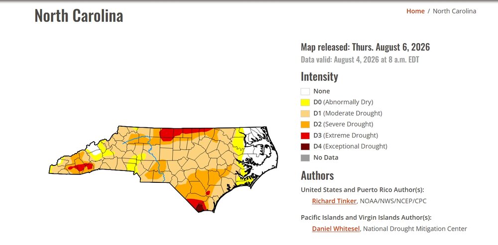
Definitely in line with CanSIPS and CFSv2
-
-
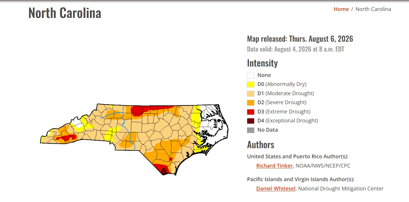
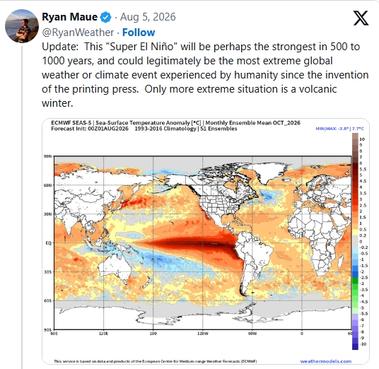
Well...
-
-
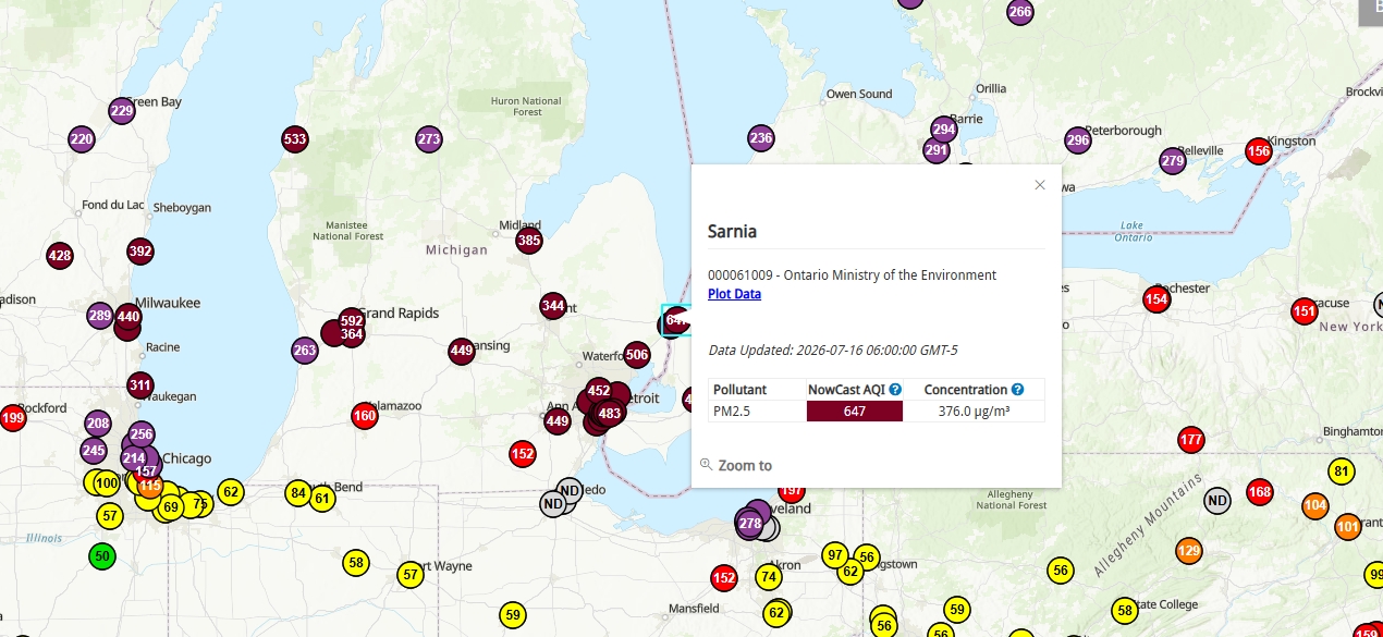
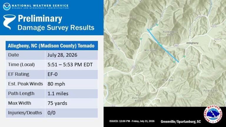
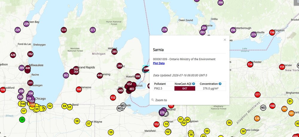
Crazy high concentrations...
-
-

-
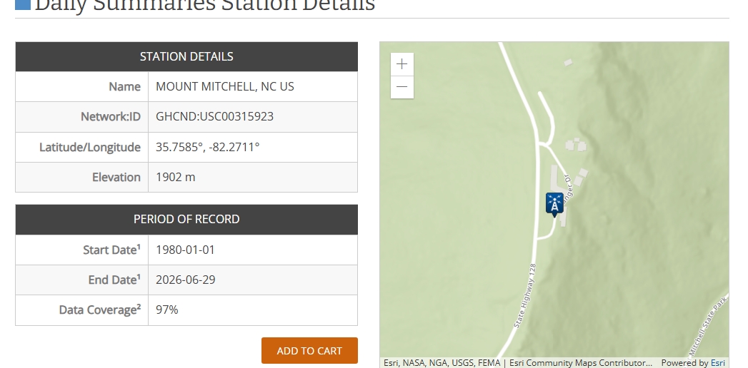
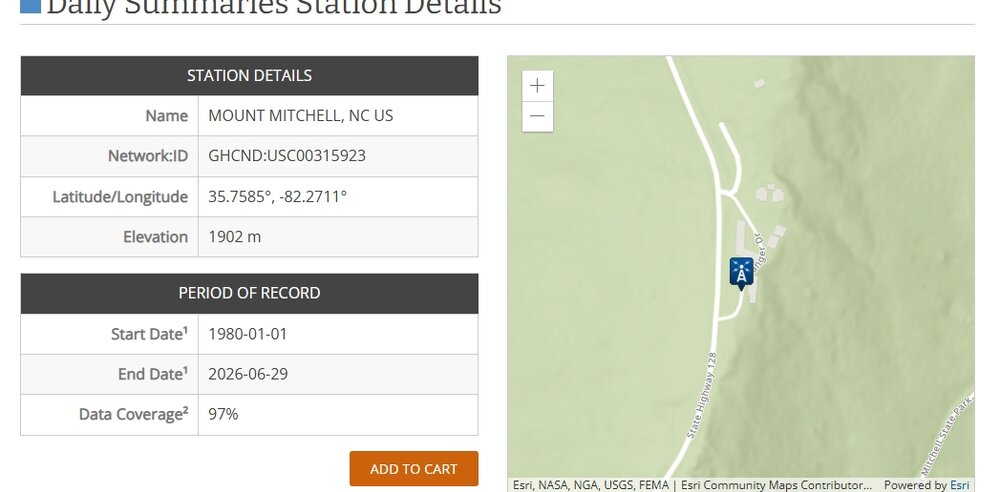
It appears to different high temps at Mt Mitchell yesterday. Never really gave much thought until now----- but the 75 F (NWS local data from Greer) from the MOUNT MITCHELL, NC site and 78.4 F from Mount Mitchell State Park (operated in cooperation NCDEQ and NC Climate Office). As best I can tell, they are both at the same location, but slightly different official elevations and also LAT/Longs. One is 1902 meters and the other is 1894. Does anyone know why the differences? The elevations could be a reporting error on one but was wondering if two instrument locations or just co-located? Just a little surprised by the temp differences----maybe just me?

-
That's terrible. Down near the campground?
-
Grandfather broke 80 today and hit 81 the best I can tell. Could tomorrow make a run at 83?
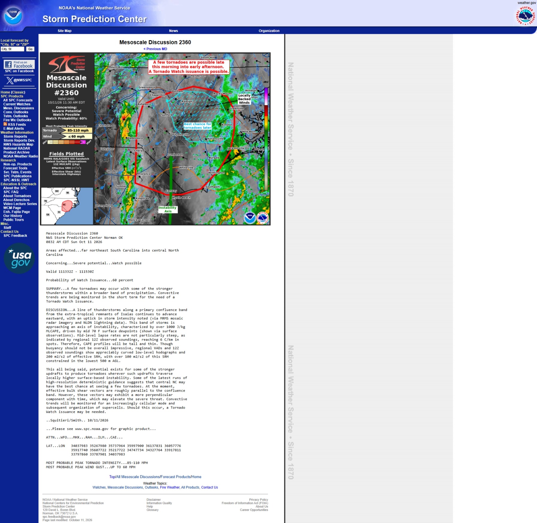
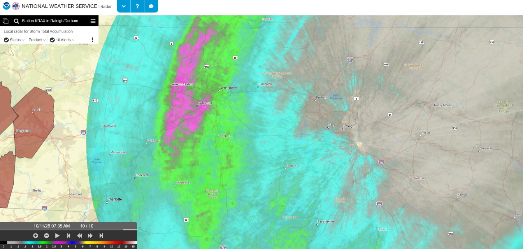
.gif.7a7b85cc515d29bfd005410f62eeccec.gif)