UnitedWx
-
Posts
3,209 -
Joined
-
Last visited
Content Type
Profiles
Blogs
Forums
American Weather
Media Demo
Store
Gallery
Posts posted by UnitedWx
-
-
6 minutes ago, HIPPYVALLEY said:
Asspril?
Swampass season incoming?
-
 1
1
-
 1
1
-
-
5 minutes ago, CoastalWx said:
Just get me good rains to kick off lawn season.
We actually have quite a few patches greening quickly in our lawn. Lets get some warmth now to help them along. Also... allergies are already nearing off the charts
-
Just a few flurries here overnight. 26 degrees on the way in this morning
-
3 minutes ago, Brewbeer said:
You are right, the baseboards aren't works of art, but they were manufactured in Westfield at Mestek, and sold under the Sterling brand. They were $15 per foot and I installed 130 feet of them, so they weren't cheap, about $2,000. I think I spent that much again on copper pipe and fittings. This was 10 years ago when copper was cheaper then now.
What they are is comfortable. And when the heating season is 210+ days long, that matters.
Before I ditched the forced air system in my current house, this was my reality. It was "fine" while the blower was running, but as soon as the heat cycle was over, right back to being cold and uncomfortable. That system was noisy too, you needed to turn the TV volume up while it was running. I can't place all the blame on the forced air system, my house is a split and was originally built with electric heat, the forced air system was added in in the mid 1980s, and they didn't size it correctly or get the required returns in the right places. It was a disaster, and I'm glad it finally failed because what I have now is 1000% better.
The two best features of my baseboards are they are completely silent and provide constant heat without cycling. The system circulates continuously providing warm water to the baseboards at a temperature inversely proportional to the exterior temperature using a modulating boiler and a buffer tank. The heat put out by the radiator matches the heat lost by the house, keeping the house at a constant 68-69F without cycling.
While it is convenient, it can be a compromise in comfort. In the winter, most of the heat load is in the bottom of the building, in the summer, most of the cooling load is at the top. If you have proper ductwork that can accommodate the differences in heating and cooling loads between seasons that helps, but as our collective experiences indicate, forced air systems are prone to improper duct design and installation.
For sure! My friend is super picky with design. He took one look at how ours was installed and said it looked like a discount hooker on a Wednesday night
-
1
-
-
15 hours ago, Typhoon Tip said:
well... given another 70 years of unabated CC and maybe that will have become common March practice.
By then we'll be seeding the atmosphere and folks will be bitching that it's become far too cold... You will NEVER win
-
1
-
-
13 hours ago, Modfan2 said:
IDK, almost 40” of snow on the ground a few weeks ago and almost 2.5” of rain yesterday and I don’t see much in the way of runoff while driving around and not many basement pumping calls came in yesterday…..I think we are drier than you think
Certainly not dry IMBY. We had pretty much all of the snow melt before the rain, so you aren't going to see excess runoff. I was doing some yard cleanup yesterday afternoon and even the frost has gone very quickly. Those drought maps are as suspect as a BDL snow meaurement
-
7 hours ago, CoastalWx said:
Man we euro this weekend. That would be fantastic.
I'll take it! It's my birthday weekend, so would be quite the gift. I have Friday off work as well and hope to spend some time outside
-
1
-
-
53 minutes ago, tamarack said:
When driving at night and trying to stay alert, I've found that the warm liquid effect hits more quickly than caffeine. Not a cold-coffee fan, so Pepsi or Mt Dew is usually my choice.
Diet Mnt. Dew here
-
1
-
-
1 hour ago, kdxken said:
23° useless expensive degrees.
Got used to the furnace quieting down... now this. We're weaning off the gas and leaning on pellets more this time of year. as long as the living room is warm, I don't care about the rest of the house... until we're back at pipe freeze temps!
-
1
-
-
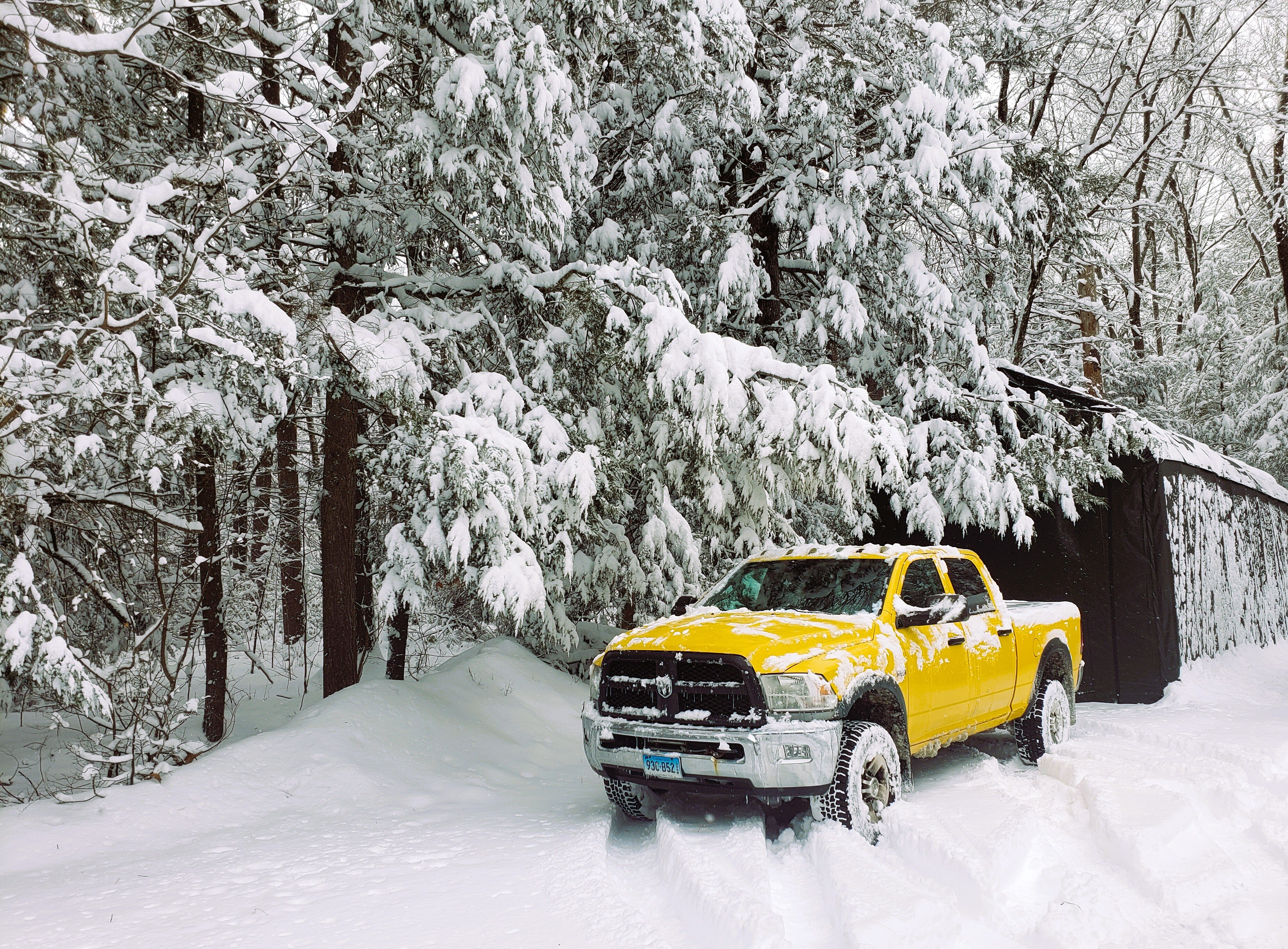
Funny, I never grade only on amount of snow. Pack retention is big, however I'd rather have near continuous storms even if most/all of it melts in between. We had above average in Westfield and SImsbury, but got shafted on the Blizzard. In give this winter a solid B. If we had more continuous snow along with the pack, I'd have given an A-. I reserve A+ for winters like 93-94 and 95-96
-
1
-
-
10 hours ago, Kitz Craver said:
Probably the wrong thread… This winter was going to solidly be in A territory for me, but completely skunking March unfortunately will have some weight and knock it down into the B range. Having said that, if I had the choice between the two I’d take a front loaded winter as opposed to the other. I like the cold, low sun angle snow that tends to hang around more easily and having holiday snow and all of that. March snow is cool, it just melts so damn quick, always battling the spring sun.
A couple reasons I wouldn't even consider an A- for my area. First, the Blizzard was really nothing I haven't seen in 50 other smallish storms. Second, too few events. I mean sure we had several small ones, but to be an A for me it needs to be pretty much wall to wall events. I'd give it a solid B because of the long pack retention and on time start of the season. By March even in the best winters I'm pretty much done so I don't use it to sway my vote much, however if we had a prolific first two weeks, I'd move to B+
-
 1
1
-
-
On 3/9/2026 at 11:39 PM, HIPPYVALLEY said:
That bottom pic looks like he/she wants to pluck your eye out.


It's amazing how many eagles are in the valley now. I see probably one a month but rarely as close as that.
You love to see it. We have quite a few in Westfield
-
25 minutes ago, Lava Rock said:
Quite coffee cold couple wks ago mainly as an experiment to see if I'm less anxious, lower bp. I'm a 2 cup per day drinker. Headache set in about 5 days after I stopped, everyday till this week. Been doing decaf for now
Sent from my SM-S921U using Tapatalk
I'm not a big caffeine guy, but man.. extra sleep and it feels worse than nap hangover. Probably woke up in a different phase of sleep. I've heard of the headache when quitting caffeine. Have you had a chance to test the BP? Funny how some are effected by it. Me, if I wanted could pound a pot of coffee and fall asleep an hour later
-
1
-
-
We talk about weathers fraud 5... how about life's? Go to bed early so you can feel extra refreshed in the morning... and wake up feeling like shit. Seems to happen every time! Where's the caffeine!?
-
16 hours ago, DavisStraight said:
We had that in our last house, on cold winter days after the furnace shut off after brining house up to temp it would feel cold, so I put in a wood stove, new house has BBHW by propane and like it much better, mini-splits for cooling and heating and a propane heater in the fireplace.
I learnfrom my vacation tech friend that many forced air systems are installed totally wrong. We spent a day adding returns, and a supply. Made all the difference... and so did removing any air intrusion into the basement and insulating rim joist are and walls above grade. Made a huge difference, and we see it in our gas/electric bills. I think mini splits are cool... but there's no way I'll have one of those indoor units on the walls of multiple rooms
-
1
-
-
On 3/6/2026 at 9:23 AM, Brewbeer said:
Moving this to banter, I installed a 8.5 kw system about the same time you did and also have 1 for 1 net metering. I don't have a minimum charge and have a large credit with the POCO, system generates more power than my family uses on average. The credit was up to $1,200 last summer but the inverter died and was replaced (under warranty) and lost 2+ months of good generation (August-October). This winter has also been bad, November December and January are usually net negative months, and this February was the lowest generation month I've recorded since install, persistent snow and cold kept the panels covered. I still have 7 panels with some snow on them even now.
I would consider a heat pump but I don't like forced air heating. When the badly designed and installed forced air heat system in my house died 10 years ago, it was replaced with a high efficiency warm water baseboard system. That system operates at less than 130F and could be run off a warm water heat pump some day. But for the now the gas boiler installed 10 year ago has been economical and has operated flawlessly and also provides hot water.
Funny, I wouldn't trade our forced air system for anything. I can't stand modern baseboard units, and any that actually don't look shit are $$$$$. Grated we did have someone come in and make some adjustments to the system when we purchased... many contractors are HACS and don't have the slightest knowledge how to properly balance a system. Also, having both heat and A/C in the same system is awesome
-
On 3/12/2026 at 6:25 AM, The 4 Seasons said:
That was my suspicion as well, though it is never noted on any of the PNS from BOX during that time and the data is missing in the now data F6.
Do you think it would be fair just to label those as BDL on the maps im doing for that time?
Ill wait to see what @H2Otown_WX says
No, I believe East Granby is different from the airport. I remember this coming up a long time ago. I don't exactly remember where, but believe it was near one of the schools. It's also kind of unfortunate that BDL is used for official measurements as it is regularly/generally the lowest accumulation for the area in any given average winter system... many times by many inches
-
11 minutes ago, ineedsnow said:
Just went to cumberland farms branches down everywhere
Same here. Also had moderate white rain from Westfield through Granby
-
1
-
-
My gut was right... 1 to 3 flakes here earlier. Nothing for the last couple hours
-
Yeah, winds picked up here something fierce. Temp and dews dropping now as well. Quite the difference from an hour ago
-
1
-
-
Just now, Damage In Tolland said:
It happens once a winter where it’s super mild and then snows to stick on cold surfaces
For sure. Just for some reason my gut doesn't feel this one. But, I still don't think we're completely done
-
Just now, CoastalWx said:
Was like summer all night here.
For sure. We were regretting not having the screens in the bedroom windows yet. If the A/C was installed I would have turned it on!
-
Had 54 in Westfield at 5 A.M. It's 55 in Simsbury now
-
18 minutes ago, CoastalWx said:
Don’t really see shoveling for a coating
I still don't see a coating lol. Maybe, but it's still super warm this A.M. and ground is quite warm now
Napril 2026 Discussion/Obs
in New England
Posted
I was trying to put it off... but had to install Today. Our living room was getting too warm for the Chinchillas, and we both slept like shit last night because the bedroom was a thousand degrees. At least we won't have to use it continuously yet