

Stevo6899
-
Posts
2,516 -
Joined
-
Last visited
Content Type
Profiles
Blogs
Forums
American Weather
Media Demo
Store
Gallery
Posts posted by Stevo6899
-
-
49 minutes ago, Chicago Storm said:
enlighten us on what this all means.
.Showing off his graph interpeting skillz.
-
 1
1
-
-
Going off on the 12z euro, the weaker this next wave is (feb 3,4), the better chance the next threat can come NW with the southeast ridge. Looks to be some phasing going on with northern stream also which enhances the threat. Ill leave the potential phasing with the event to the red tags to elaborate.
-
Just now, mimillman said:
Hoosier didn't start this thread...really?
I dont think it matters who starts a thread. I honestly had no issue with brian d starting a thread to mix it up since SE MI needed something to shake things up but so much for that idea. Just one of those winters. And lol @ josh who said earlier today winters only half over. Its 75% over. Cant count on snow in march, maybe the first week.
-
 1
1
-
1
-
 1
1
-
-
10 minutes ago, michsnowfreak said:
I know right lol. As expected the active pattern has commenced. Let's just hope one of these can break what has been the winter of 1-4" snows, especially with possible big cold coming. Last winter we had several 6+ storms in SE MI but didn't have as many nickels and dimes and the real anamolous cold came out of season (Nov, apr, may)
I only remember the early november storm last winter as the only 6+ event. Perhaps downriver got the brunt of a few others us northerners got grazed by?
-
17 minutes ago, michsnowfreak said:
DTX has Detroit south to the border in an advisory for 2-6" for tonight/tomorrow. To me it looks like a long drawn out event because we will have the initial band of snow tmrw morning before it disintegrates then on Monday the eastern counties will have deform snow. We will definitely miss the brunt of the storm although our snow will likely be sugary/powdery and not wet.
Repeat of every event this winter. Grinder.
-
2
-
1
-
1
-
-
Canadian not playing ball.
-
2 minutes ago, AWMT30 said:
LOCK THE 12Z GFS PLEASE
I think once this current storm gets east of the coast in the next 3 days, models will hopefully hone in on this next one. Until then cant get sucked in. Looks promising for snow starved areas.
-
2
-
-
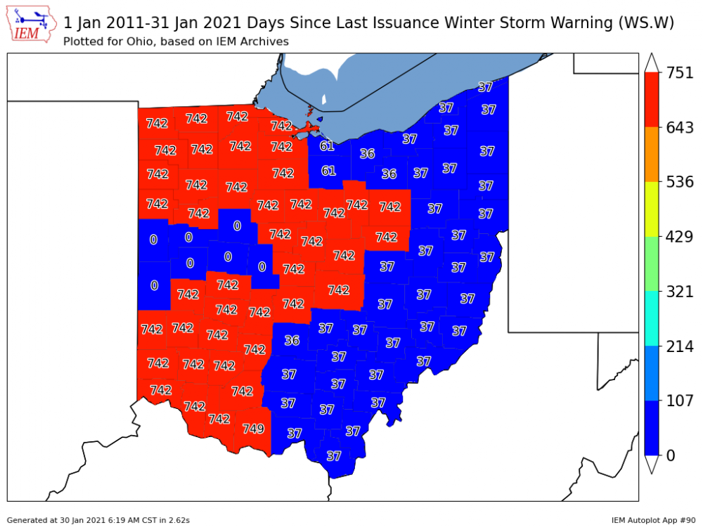
36 minutes ago, fyrfyter said:
I’m in the clock keeps ticking range. 742 is also the number of days since we have seen 2.5” of snow at CVG in a 24 hour period.
I watch people complain on here about not getting as much snow as they want. I laugh and I think “you really have no idea, what a lack of snow is.”
To be fair, climate doesnt support snow and snowcover as much the further south you go towards cincinatti. But yea people need to put things in perspective before they complain about the lack of snow. I live 40 miles north of detroit and I don't think ive had more than 3 inches in a 24 hr period this winter, and it happened maybe once last winter in the early november snowstorm. Kinda rare this far north. The lack of big snows the past 3 winters is frustrating but it happens and we had a good run prior. Ive learned to be more happy for those that cash in on snow. Good karma.
-
3
-
-
3 minutes ago, Gino27 said:
I feel like I've made out like a bandit in Union county. Clock keeps ticking for most of the state.
Can you please share the link to this website. Ive seen these kinda days since warnings maps used for severe weather. Something like 2000 days since a tornado watch in detroit i think lol. Thanks.
-
If you were just looking at the composite reflectivity on the 18z nam (twisterdata) for the first time for this storm, you'd get so pumped to see the huge blob of heavy precip exploding, expanding, making a B-line (i think that was a accuweather forum posters name) straight NE towards SEMI. Then it hits the wall, what a bummer. Not something you see very often and its happened twice the past week.
-
1
-
-
13 minutes ago, hawkeye_wx said:
Those of us in Iowa are wondering what happened to our big snow event that appeared as locked in as any storm could be a few days out. Nearly all models are either cutting the precip down, warming us up, or both. Even the HRRR, which nailed the colder, snowier late December storm, has now warmed us up and drops at least a few hours of mix crap here. The 6-9" snow event has been cut in half.
Those of us in places that havent seen a 4+ event all winter are thinking nobody in iowa should be upset.
-
6
-
 3
3
-
2
-
-
7 minutes ago, AWMT30 said:
Nice run on the NAMS for extreme SE Michigan!!
This ain't ours dewd, let er go lol. Gotta move that block east before we get a respectable storm.
-
 1
1
-
-
7 minutes ago, snowstormcanuck said:
Total whiff here on the EURO.
Be glad once this blocking is gone. Cold and dry is the worst.
Definitely a tough zone to be in for good snowstorms (detroit, 401 to toronto). No block, we get a GHD type that goes NW. Block, the precip dissipates as it enters the region. Getting the block to setup in the right place is like russian roulette. We need an old fashioned gulf low, riding into arctic air. Good to see some areas that haven't seen much cashing in with this one.
-
1
-
-
2 minutes ago, hawkeye_wx said:
UK

Similar jump north around the same time out as this past storm. For a few runs It also had the last storm maintaining its strength longer out this way which ended up being wrong in the end. We'll have to see if this one can keep its sh$t together long enough to give dtw a decent snowstorm.
-
1
-
-
1 hour ago, michsnowfreak said:
I had 3 6+ inch snows last winter (8.8 Nov 11, 7.0 Jan 18, 6.0 Feb 25/26). Ok our 3-4" snows in Dec were dusters but this forecasted 2-3" snow which only amounted to 1" of icy snow was a "storm".
 .
.
All that aside considering we have very few posters from southern IA or eastern NE, it's been years since I recall a storm that had so much attention in this forum get such underwhelming results. Hopefully the January 31st threat has better luck.
If i remember correctly, all 3 of those last winter took like 20 hours to get over 6+. This current storm had the most potential to atleast resemble a decent storm here, and the dryslot found us. Most models showed 12-18 for NE and IA, and that was met in some areas. You almost always have to cut kuchera snow maps in half when they show 30 inch totals in the midwest. The canadian was overdoing it and everyone knew it. 15 inches in lincoln is underwhelming? Whatever you gotta say to talk yourself into our area being a snowstorm heaven. Lol ok so macomb did okay and got 3 inches today but south of macomb basically got zilch due to the dryslot. It is what is is, we always find the dryslot in respectable storms, whether its modeled or not. Ive accepted it, just wish you would and stop turd polishing.
-
1
-
-
Just now, michsnowfreak said:
No they don't. This "storm" they did, as expected. Those same regions had the higher totals Nov 19, Dec 1, Dec 17, Dec 25.
The writings been on the wall for this one for days but its amazing how the models struggled even in the nowcast timing pretty much everywhere.
Lol, Those were all 18 hr dusters to get 3 inches. Congrats to us. You cant count those as actual snowstorms. Those events prob didnt even have a dry slot. Come on josh. Just for once admit east of the glacier ridge sucks for snowstorms. Enjoy your snow y'all. Send pics to remind josh what a real 6 inch snow looks like.
-
12 minutes ago, michsnowfreak said:
With but a few exceptions this entire storm has been a joke compared to what it once was just about everywhere. 1 inch.of heavy snow here. im wondering if its sleet tainted.
Detroit, downriver, and east of glacier rudge always find a way into the drysluot*.
-
1
-
-
9 minutes ago, Luftfeuchtigkeit said:
6.2" out there with more to come still this morning. This banding has worked out well.
It seems more often than not, while the low pressure didn't go further north, the bands always end up further north than modeled a few days ago. Probably due to the weakening nature of the low, allowing the banding to wander north more. Definitely the trend the past few winters, weakening as it moves E/SE. Enjoy the snow those of you getting it. I wonder if detroit will get a 4+ snowstorm this winter, one that doesn't take 10 hours to get that 4.
-
1
-
-
Very conservative wsw amounts in the wording/text for southern iowa, 5-10. Should say potential for more than 12.
-
Plz do this with 12+ snowstorms.
-
1
-
-
21 minutes ago, andyhb said:
Yes. This is exactly it. The confluence between the TPV dipping southeastward into Ontario and the SE ridge downstream.
Well without the block, its raining most places, but the blocks also shearing it out. Thus is the hard knock big dog life in SE MI. Maybe we'll luck out and it will keep its act together longer.
-
1
-
-
3 minutes ago, andyhb said:
The reason for lower totals further east is because of the shearing of the parent shortwave and resultant partial loss of dynamic support with time. This has nothing to do with temperatures.
Is the interaction with the confluence to the north causing this shearing?
-
1 minute ago, AWMT30 said:
Solid changes totally agree. Things are looking bright on the Mesos
Still blows its loads quickly and low weakens as it slides east. Looks good for chicago and WSW.
-
It seems some models that keep this further south, are weakening the low rather quickly, thus the more east track vs NE once it gets to indiana. Is it weakening due to the interaction with the northern confluence, not allowing the low to track where it wants, or is it just maxing out quickly due to the overall lack of strength of the low origin?
-
1
-

Feb 6-7 storm?
in Lakes/Ohio Valley
Posted
U know its a sh*t winter when Josh is even remotely close to bitchin about it. Slowly wearin you down. If this next wave performs anything like the gfs is showing that will give northern Wisconsin there big snow leaving pretty much metro Detroit as only area this far north in the region without a respectable snowstorm. Maybe Toronto but havent really paid much attention to canada as most dont lol.
As frustrating as its been, its even worse that the northeast might get its 3rd foot plus storm in a winter where it looked promising the midwest would have a possible historic winter and east coast not much. Just goes to show winter outlooks are useless.