UKWeatherGeek.
-
Posts
26 -
Joined
-
Last visited
About UKWeatherGeek.

Recent Profile Visitors
1,108 profile views


-
Where’s that?
-
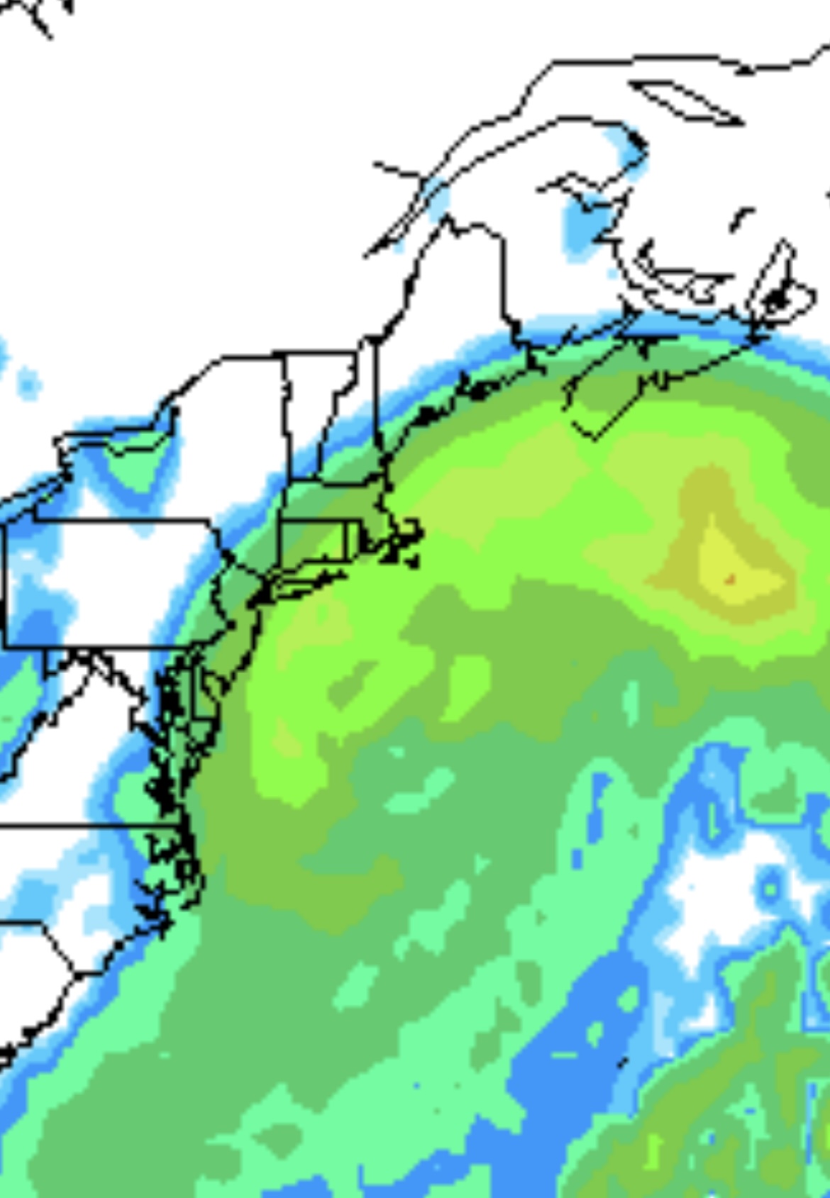
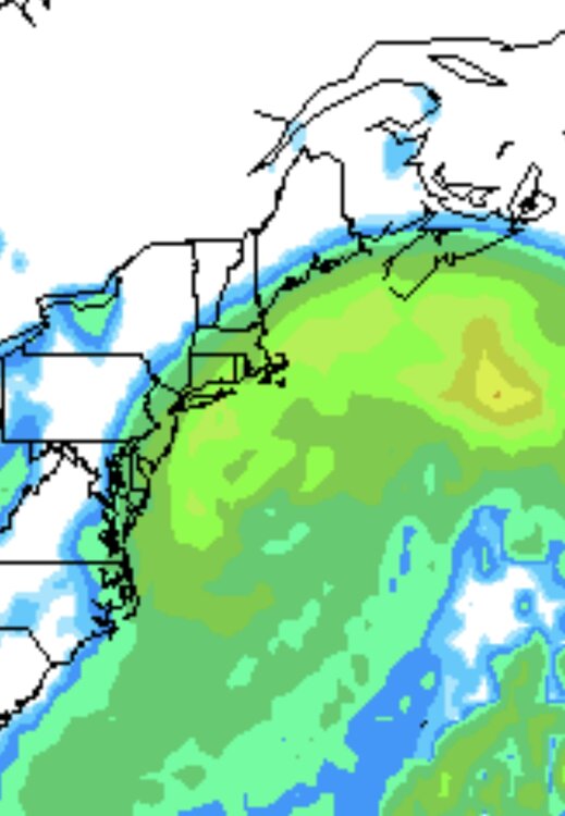
The system is NW of hrrr. It overdid the wobble east. Stuck in a lighter band in NYC.
-
Measurement will be tricky but think most are being conservative here. Models often struggle with detail of bands, that combined with 1:11-1:12 ratios, the 12-18” estimations for metro are underdone. I’d say 16-22” is more accurate.
-
NYC 22.4 LGA 23.2 ISP 23.7 JFK 19.4 EWR 21.1
-
Do you think my flight will be ok arriving 4pm EDT Sunday? Sorry if off topic.
-
Euro is west by about 40 miles.
-
GFS00z north ICON north. Are we seeing a last minute adjustment?
-
ICON is 50 miles NW. That's enough for a change on the day to give 6-12" on coast. 20% chance.
-
We disregard the UKMet model here too.
-
ECM18z gives NYC 5mm precip / 9.4cm snow. E LI 24mm/34cm. Boston 34mm/47cm.
-
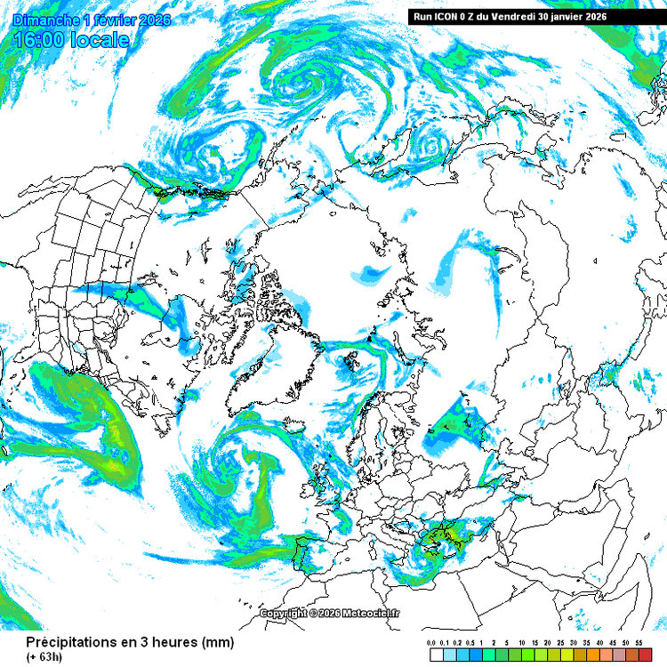
https://www.meteociel.fr/modeles/navgeme_cartes.php
-
NAVGEM.
-
FYI we just had a rare Euro>GFS shift for the most recent storm in UK.
-
So I either fly back today or stay in the hope this is good for NYC. I'm totally bewildered. A real mixed bag, two most likeky options are a further push W 12-16" or a middleground 1-4" the latter more likely now.
-
Gfs at 78h is 75miles west.