

Cary67
-
Posts
1,372 -
Joined
-
Last visited
Content Type
Profiles
Blogs
Forums
American Weather
Media Demo
Store
Gallery
Posts posted by Cary67
-
-
4 hours ago, RCNYILWX said:
Most of the long range gurus, including our own [mention=525]OHweather[/mention], think that the 2nd half of February will turn colder in the eastern US and I haven't seen any suggestions of that not playing out. The end of the most recent EPS and GEFS show the progression to west coast ridging and eastern troughing with a -NAO returning.
Prior to that, it absolutely will be torchy as the western US gets hammered and the calls that winter is over will continue. The positive departures will be large prior to the likely colder pattern, so the odds certainly favor AN mean temps for the month.
Assuming things go to plan, the position of the expected western ridging will help determine how active or not the pattern will be, particularly with western extent where an east based +PNA is generally a drier look.
If this happens the NWS may have to issue a CAD watch for Alek
-
 1
1
-
 2
2
-
-
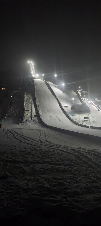
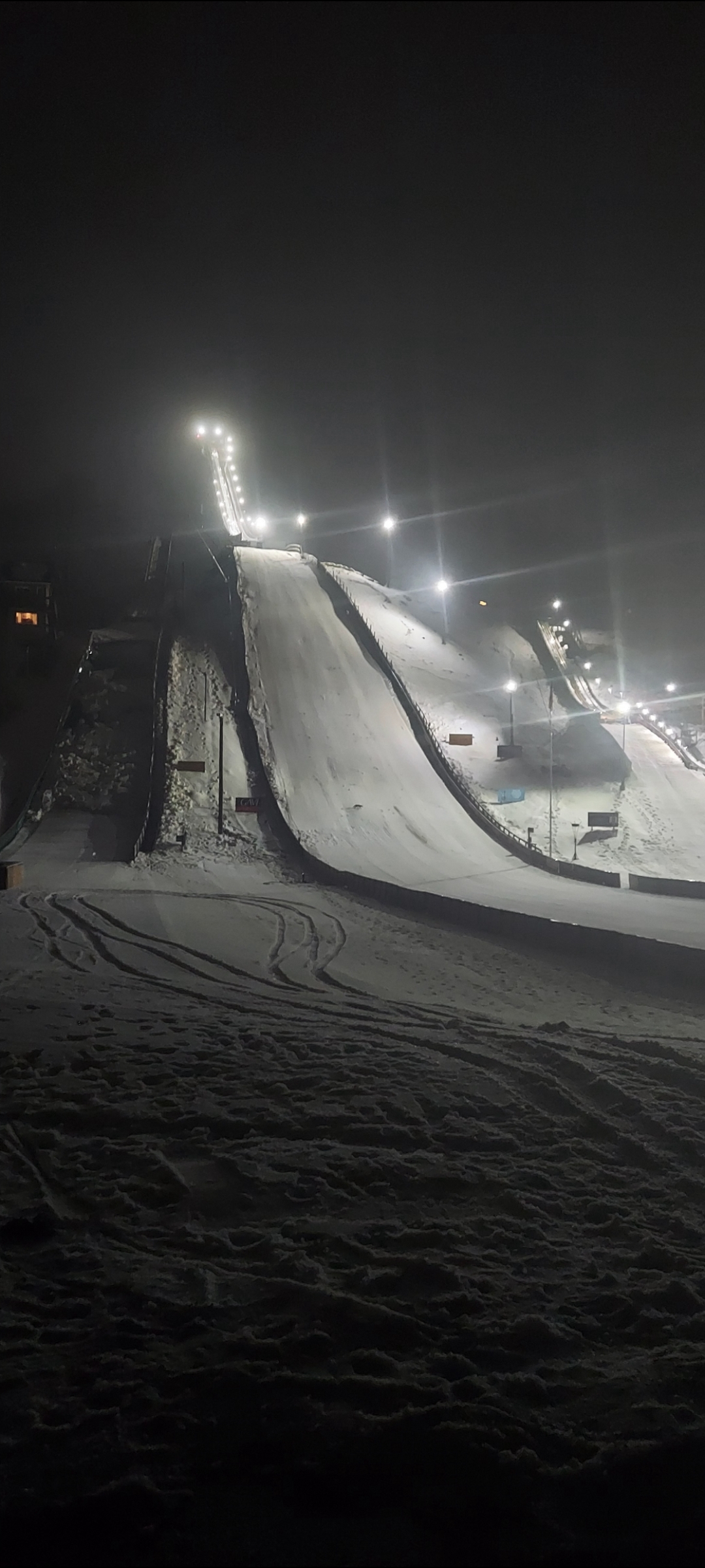
Good thing we hung onto some snow as Norgi ski jump festival is this weekend.
-
4
-
-
24 miles NW
-
10 hours ago, nwohweather said:
Worst stretch of weather I’ve ever seen. 5 straight days of fog
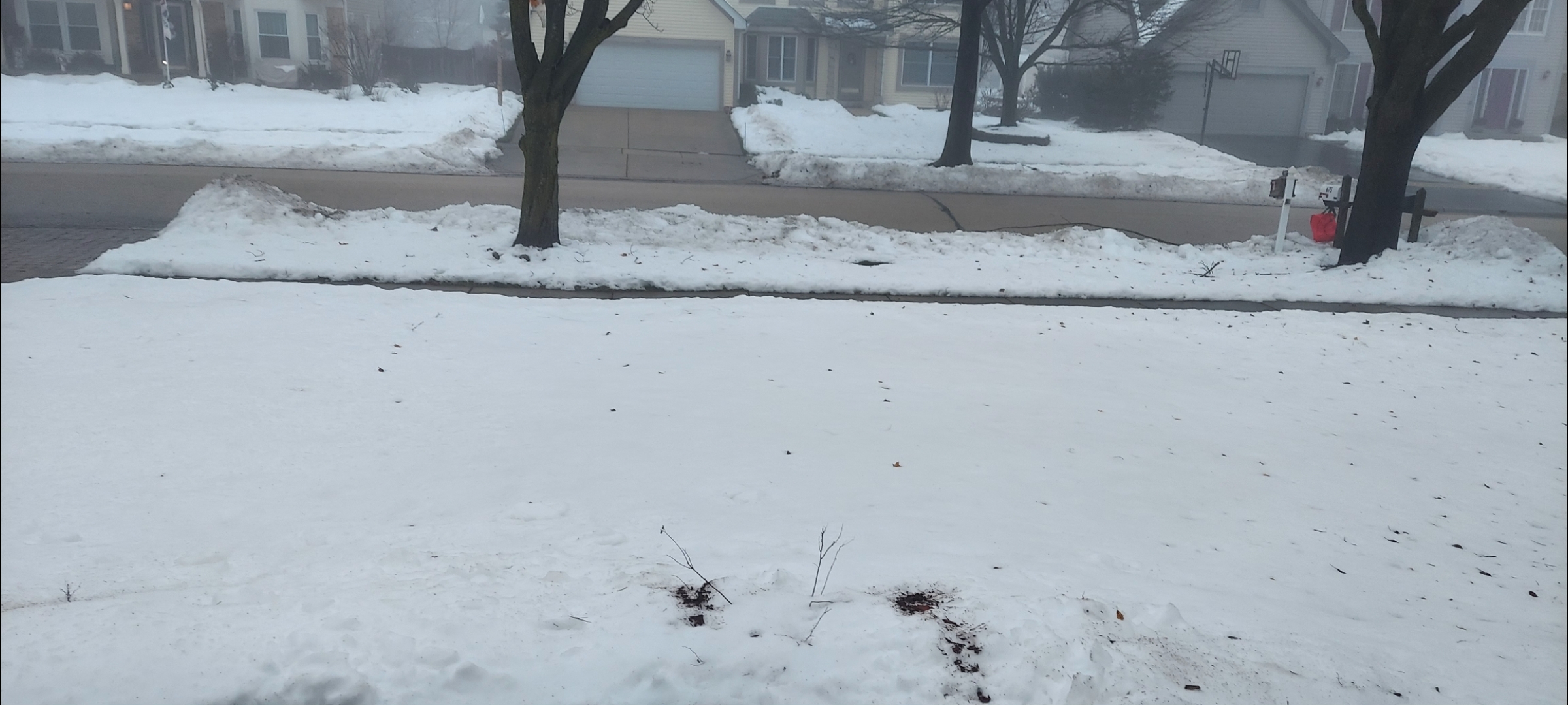
Yeah this fog is relentless. Snow melt is progressing but slowly.

-
5 minutes ago, torchcity said:
Well looks like winter is over. Hope everyone enjoyed the last two weeks. Palm tree weather is back and this is the new normal. So get used to it. Soon those two weeks won’t even happen.

-
1
-
2
-
-
1 hour ago, michsnowfreak said:
Got another 2.3" yesterday. Have now seen 14.0" in January. Really enjoying this stretch of deep winter, since I know they don't last in strong ninos. So pretty outside!

Was that mostly LES?
-
Probably the high water mark for snow depth and that deep winter feel. Some ZR then the great melt
-
1
-
-
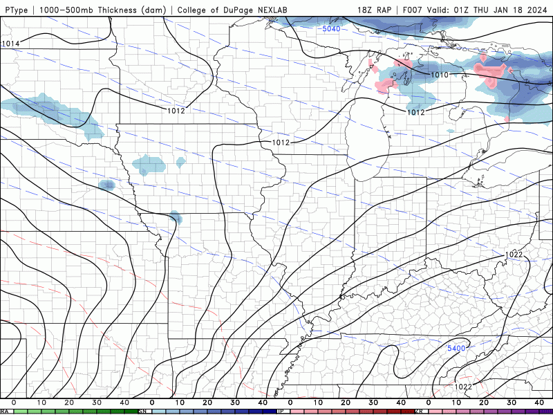
Frontogenic magic
-
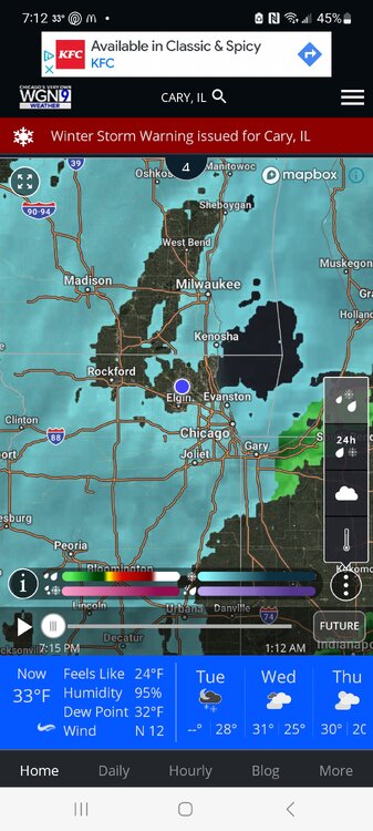
Sadly looks like Norgi ski weekend on Jan.27-28th could be a slop fest if rain and warmth next week comes to fruition.
-
31 minutes ago, Yeoman said:
Where is here? Miami?
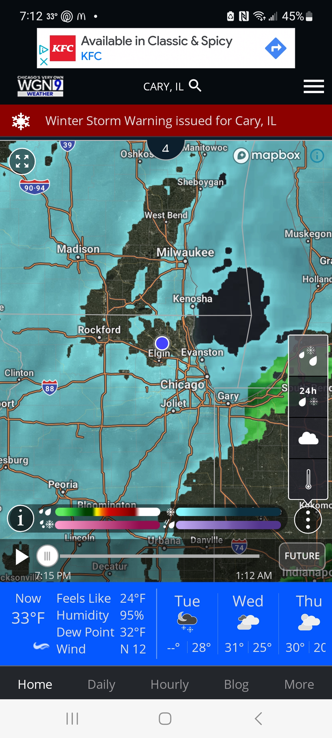
Far NW burbs of Chicago. Not too far from WI state line
-
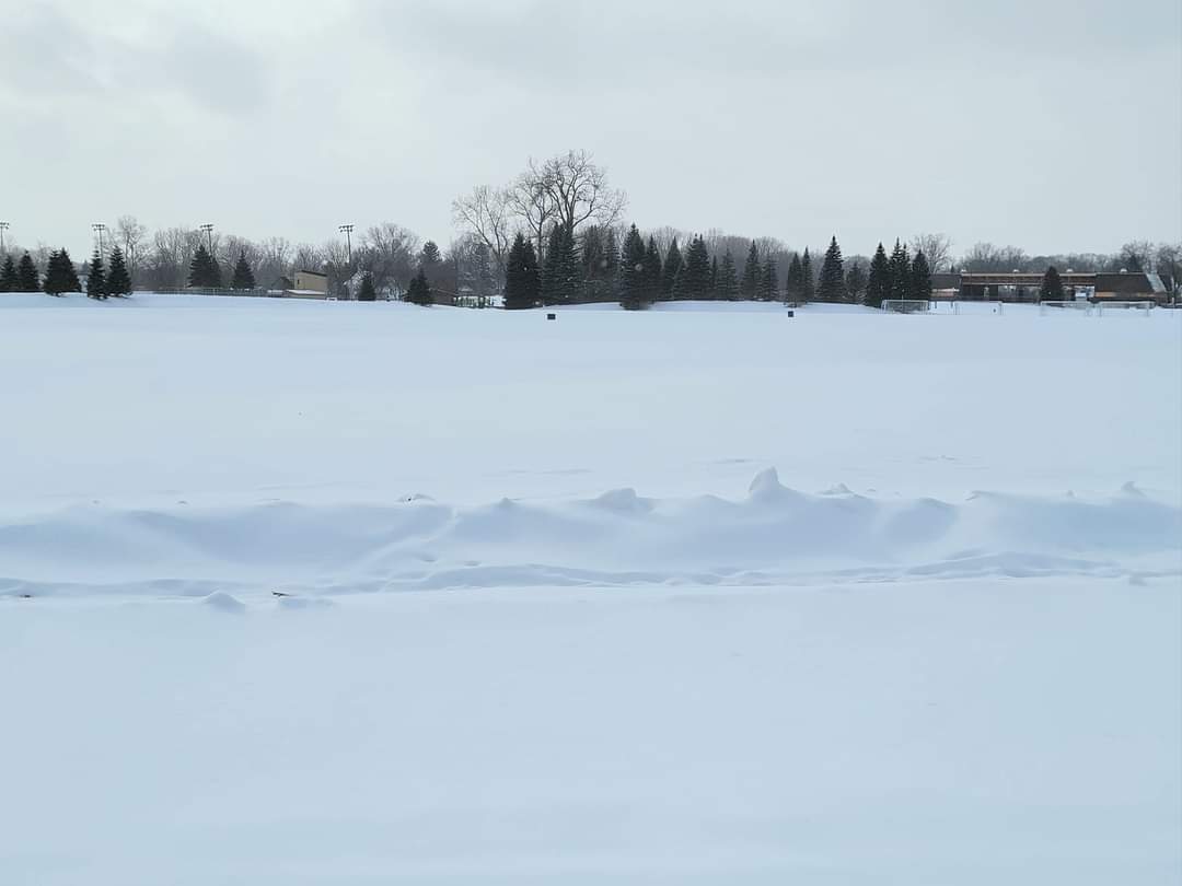
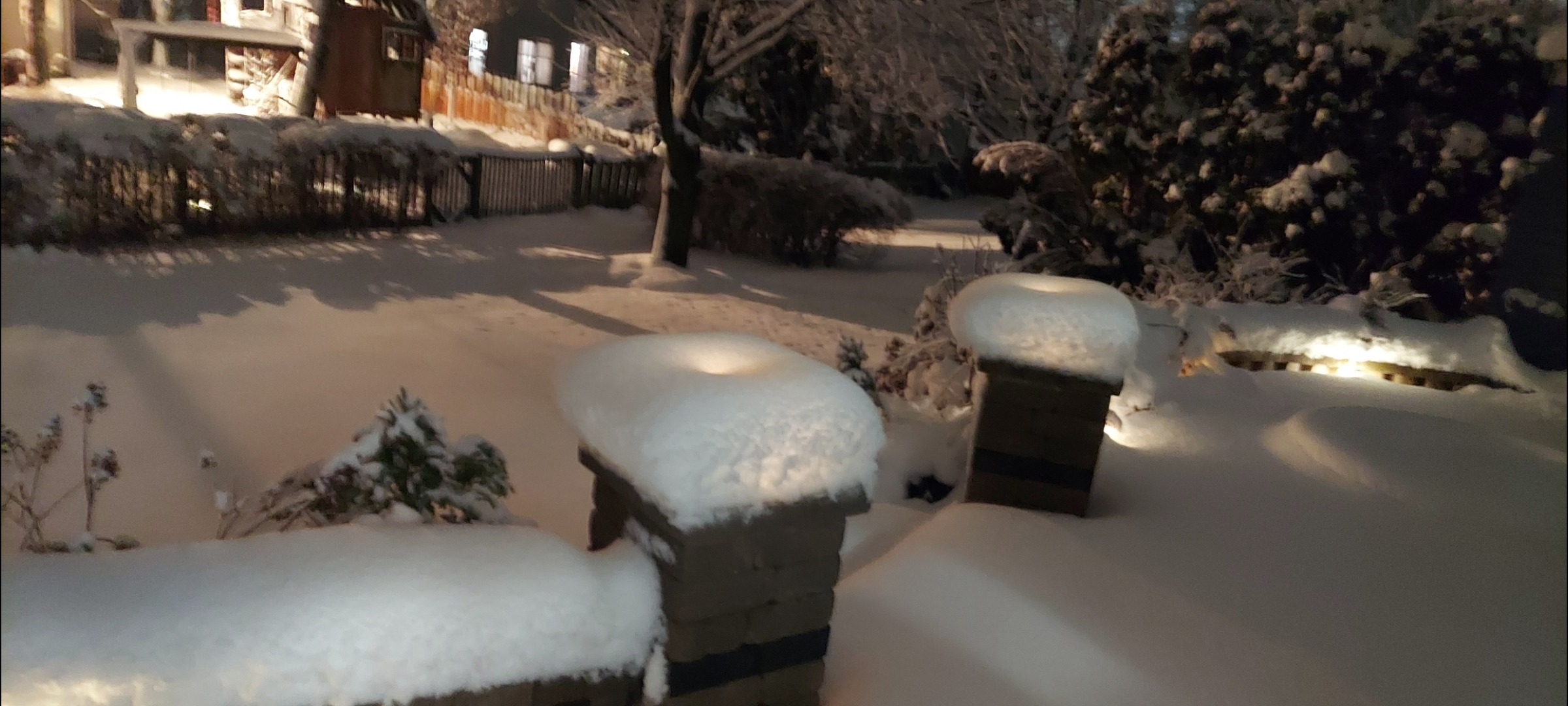
Around 11" here


-
8
-
-
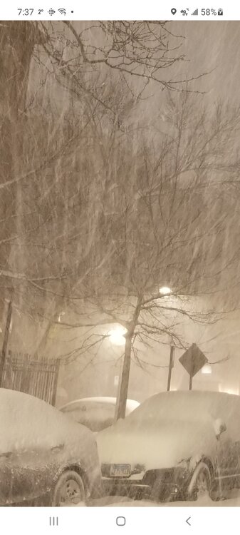
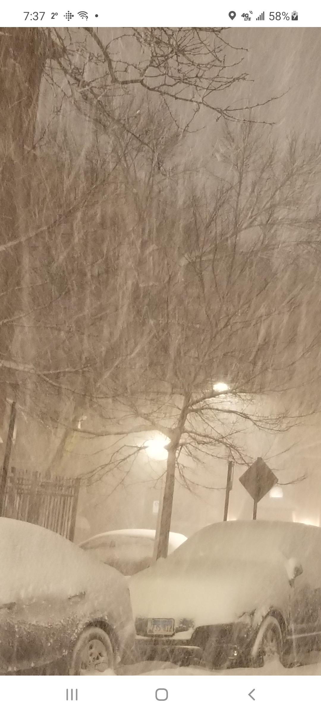
Off on light snow here as radar looks better than reality
-
Light snow falling again after period of drizzle
-
7 minutes ago, Chicago Storm said:
If you’re in NE Illinois or the metro, I would have concerns about a last minute shift north and that the front end thump was the main show…
Are you referring to latest HRRR runs? RFD far enough NW to avoid it but not here
-
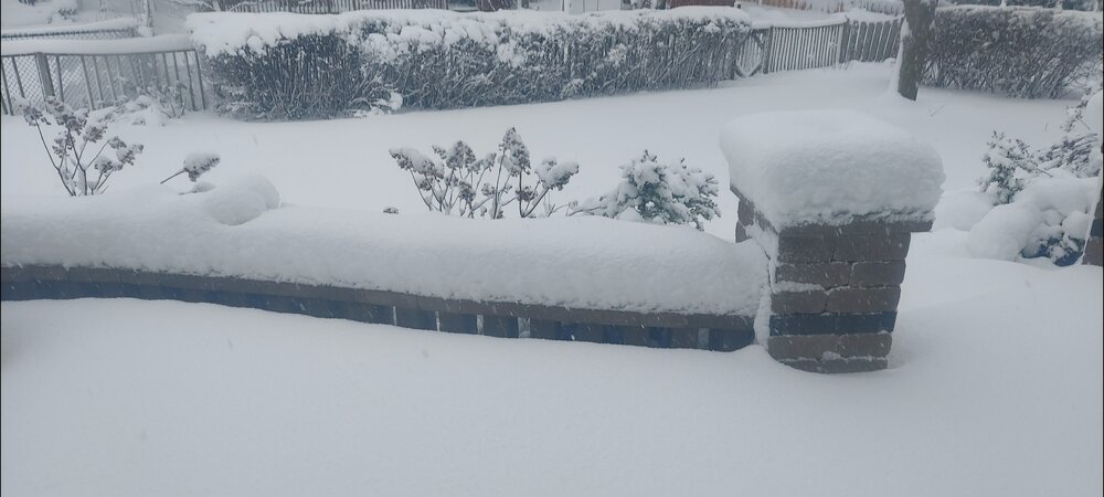
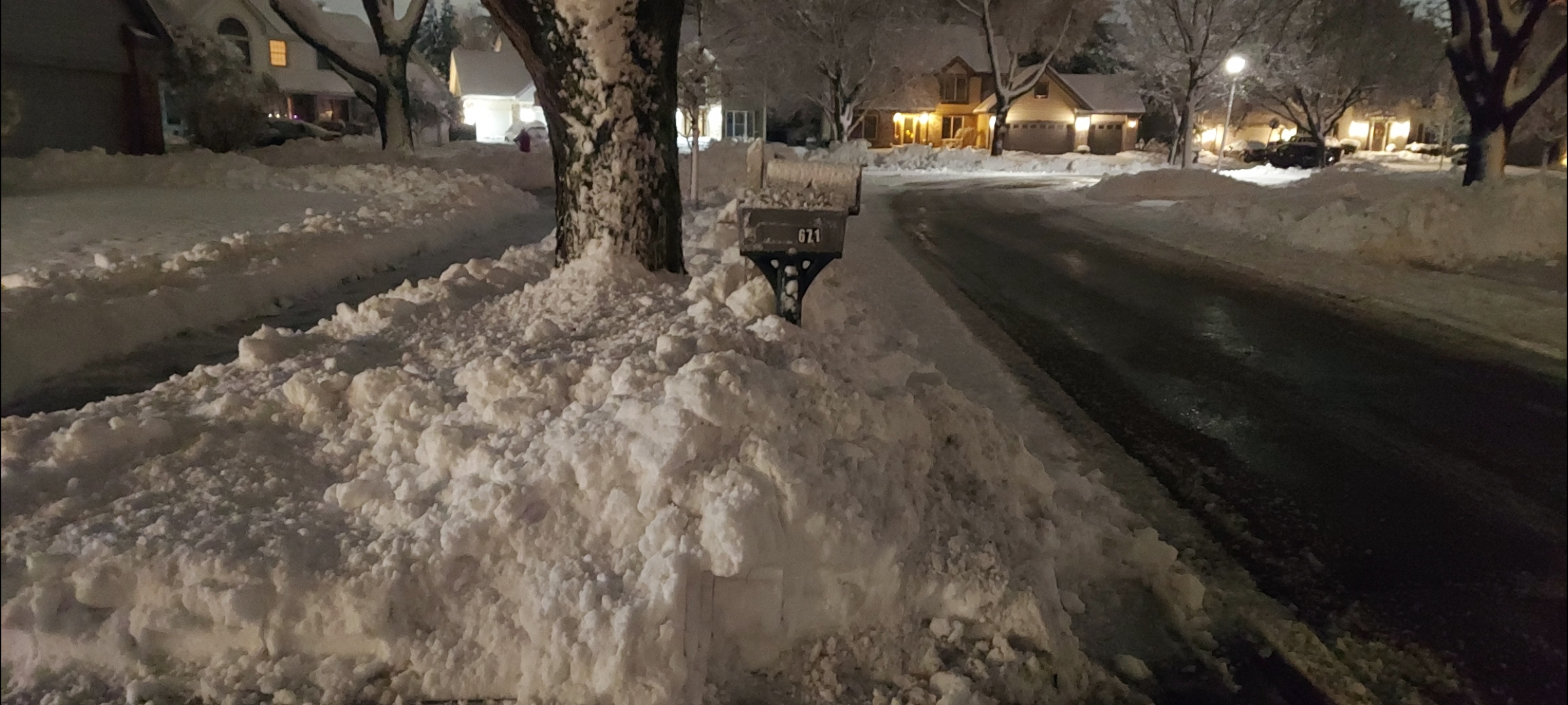
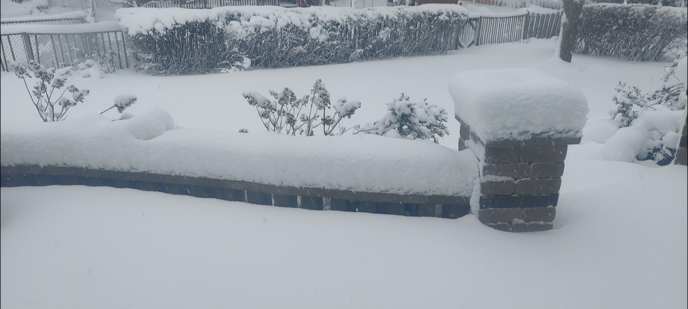
Did the 1st driveway pass. 8" down and snow keeps falling after brief lull.
-
4
-
-
Yikes it's brutiful outside. Another spotter had Cary at 7"
-
1
-
1
-
-
21 minutes ago, Chicago Storm said:
6z guidance generally came in weaker/east for the most part, and slower developing.
Weaker/drier/east is a trend you need not want to see in the Chicago metro/NE Illinois. Shall see if it was a one run blip, or if it actually turns into a trend.
.But this is my moment
-
1
-
-
1 hour ago, A-L-E-K said:
cary#s, this is your moment
After the last several years I will believe it when I shovel it
-
1
-
-
8 minutes ago, Malacka11 said:
Wasn't there a big lake effect event a few years back? Remember Alek posting some pretty swag pictures. That was literally only the lakefront though if I remember right. IMBY the last snow worth a damn was in 2021, like 10 inches of concrete.
I believe this was it
-
1
-
 1
1
-
-
59 minutes ago, SchaumburgStormer said:
Just cleared the driveway, and people are absolutely going to die trying to shovel this. Hands down some of the heaviest snow I have tried to move. Eyeballing about 6-7”
Maybe 3" here. SE McHenry continues to amaze.
-
10 minutes ago, sbnwx85 said:
I laugh but that's actually a valid point.
I thought it was way NW with today's system at long range before correcting back SE in later runs. Like your location moreso than mine for this one
-
NAM nailing it correct at 78-84hrs??Would rather see cutting it NW through central Iowa at this range.
-
3
-
-
Been lightly snowing for awhile. Not really accumulating. Maybe an inch down. 3.8" call looking good if not robust. The road to 20-25" seasonal totals continues
Edit: moderate snow starting to accumulate
-
1
-
-
10 minutes ago, kevlon62 said:
About 2"
Schools closed (for expected conditions later on).Interesting. Must be personal only a dusting here.
-
1
-


Winter 2023/24 Medium/Long Range Discussion
in Lakes/Ohio Valley
Posted
The springs in N.IL and especially by the lake have always been short and sucky with some exceptions. For the most part it's mid to late April till mid to late May. I think the loss of December whether its an El Nino or La Nina isn't compensated enough by cold Marches. The winter windows of opportunity seem to be narrowing in length and frequency. It highlights the fewer winners vs all the losers even more so in areas solely relying on synoptic snowfall. LES areas still have the buffer of receiving snow when cold air makes its brief intrusions.