JakkelWx
-
Posts
3,287 -
Joined
-
Last visited
Content Type
Profiles
Blogs
Forums
American Weather
Media Demo
Store
Gallery
Posts posted by JakkelWx
-
-

This was from one of yesterday's MCDs..
t o n r a o d
-
BWI : 32''
DCA: 9''
IAD : 31''
RIC : 16''
Tie Breaker - SBY: 13''
-
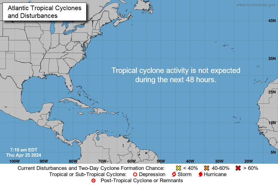
Oscar has formed in the central Atlantic
FORECAST POSITIONS AND MAX WINDS

INIT  27/0300Z 26.7N  45.7W   40 KT  45 MPH
 12H  27/1200Z 27.2N  47.2W   45 KT  50 MPH
 24H  28/0000Z 26.6N  50.3W   50 KT  60 MPH
 36H  28/1200Z 25.6N  53.2W   50 KT  60 MPH
 48H  29/0000Z 25.3N  55.3W   55 KT  65 MPH...TROPICAL CYCLONE
 72H  30/0000Z 26.5N  57.5W   60 KT  70 MPH
 96H  31/0000Z 30.0N  55.5W   60 KT  70 MPH
120H  01/0000Z 34.0N  50.0W   55 KT  65 MPH

$$
Forecaster Beven
...SUBTROPICAL STORM OSCAR FORMS OVER THE CENTRAL ATLANTIC...


SUMMARY OF 1100 PM AST...0300 UTC...INFORMATION
-----------------------------------------------
LOCATION...26.7N 45.7W
ABOUT 1255 MI...2020 KM ENE OF THE NORTHERN LEEWARD ISLANDS
ABOUT 1210 MI...1945 KM ESE OF BERMUDA
MAXIMUM SUSTAINED WINDS...45 MPH...75 KM/H
PRESENT MOVEMENT...NNW OR 330 DEGREES AT 9 MPH...15 KM/H
MINIMUM CENTRAL PRESSURE...1005 MB...29.68 INCHES

-
Heavy returns coming in from the south and the wind is picking up.
-
First sub-freezing night. 30/29. The central peninsula gets really cold at night here.
-
Ripping fatties. Pushing 27/26, blowing and drifting on the deck. Shoveled like five times today to try to keep the driveway from icing and hardening over, but the rates from this death band were insane.
-
 1
1
-
-
second frost of October incoming.... in patches anyways. Might be more widespread than last time.
Currently brrr outside with a 46/32 split
-
Will probably get frost tonight, tonight's lows are forecast to be around 35 degrees. Wouldn't surprise me if the air thermometers record lower readings. Gonna need a frost advisory here, why haven't the NWS expanded them yet?
-
The dewpoint is dropping like a rock and the wind picked up here
-
Close to freeze. 33 degrees, widespread light frost on some surfaces. First frost.
-
58/36. A true fall day. Frost advisories for my neck of the woods this early? Summer ended not even a month ago.
-
 1
1
-
-
Speaking of winter... Some snow appearing on radar in the Catskills and other high elevation areas.
The constant cold blasts on the GFS has early snow written all over it (close enough)
-
2 minutes ago, WxWatcher007 said:
RUDE!
After all I've done for this region. The treachery!
Don't worry. If the happy hour Euro shows no snow for Hartford, toss and wait for the 00z.
-
8 minutes ago, WxWatcher007 said:
YES. It's already going to be enough chaos with the Euro coming out every six hours.
Interior CT under a winter storm warning. NOT!
-
Enjoying some meat lovers pizza from Pizza Empire. Small restaurant in Baltimore Corner, not far from Goldsboro. Has a special kind of taste to it.
-
I'm having a July flashback with this October torch. 85 degrees, got up to 90 earlier today.
-
Where is our cold?
-
12 minutes ago, yoda said:
If anyone cares... Twister is just starting now on SyFy channel

RIP Bill Paxton
-
Bored out of my mind. Hey, i've made up a new type of hurricane called an "anti-hurricane", where most of the hurricane has an extremely high pressure often over 1100 millibars, near 0 percent humidity, completely clear skies and no wind with a narrow ring of rainy and windy weather. The storm also rotates in an opposite direction, like a high pressure system.
-
Bring on fall
-
 1
1
-
-
Meanwhile the 00z FV3 had a fantasy snowstorm near the end of its run.
-
 1
1
-
-
Anyone heard of the law of attraction? It's like believing you're going to get something, picturing yourself asking the universe something. See snow in your imagination as if it's already happening, you'll get snow eventually.
-
Tornado confirmed on video
-
 1
1
-
-
My blood-alcohol content is probably higher than the amount of precip the 12z NAM gives me over the next 48 hours from the remnants of floerrence. S
Slightly buzzed right now after drinking some home-brew IPA.

Winter 2018-19 Is Coming
in Mid Atlantic
Posted
This October finished with an NAO value of +0.93, an AO value of +0.413, and a PNA value of +0.21. What you are seeing below is all the years that October featured a positive AO, NAO and PNA at the same time.
I think that December will be somewhat favorable for winter weather in the eastern U.S. Slight troughing in the Gulf of Alaska still exists and ridging along the west coast, however there are still lower heights than average in eastern U.S. and would provide decent chances if it came to fruition. But I think December this year will be the hardest month to forecast as there are a lot of conflicting signals regarding the setup of the atmosphere, for example blocking and SSW impacts, but December can go either way.
January looks to be a more moderate and ambiguous month, especially as we head into February with high-latitude blocking beginning to develop decently. The presence of this blocking allows for colder air to penetrate the E US even with lower than average heights along the west coast and Alaska.
Meanwhile, February looks to be the most favorable month for the eastern U.S. There is a strong blocking signal with prominent confluence over Nova Scotia, which would lock in cold air. Lower than average heights in the western U.S would allow for the STJ (Sub-Tropical Jet) to open up, which would lead to a high probability of overrunning events. Overall, this month looks to have the highest probability for a major storm. March also looks favorable with a strong cold air feed into the central united states with slight NAO blocking. Similar to December, the anomaly scale goes up to 35m, which means that the signals for any atmospheric feature are weak. Of all of the months throughout this coming winter, February has the strongest signal for cold air infiltration into the E US with anomalous NAO blocking like a lot of other mets are saying. It looks like there is probably not going to be any long periods of unfavorable patterns for winter weather.
What's different about this winter is that the past few years, December has been thrown out as a decent winter weather contender. This winter, NYC and the Mid-Atlantic sub-forum has a higher than usual chance to see a big winter this year, which I am rooting for, because the NAO has been positive for many years.
I still like what i am seeing as far as now.