purduewx80
-
Posts
1,705 -
Joined
Content Type
Profiles
Blogs
Forums
American Weather
Media Demo
Store
Gallery
Everything posted by purduewx80
-
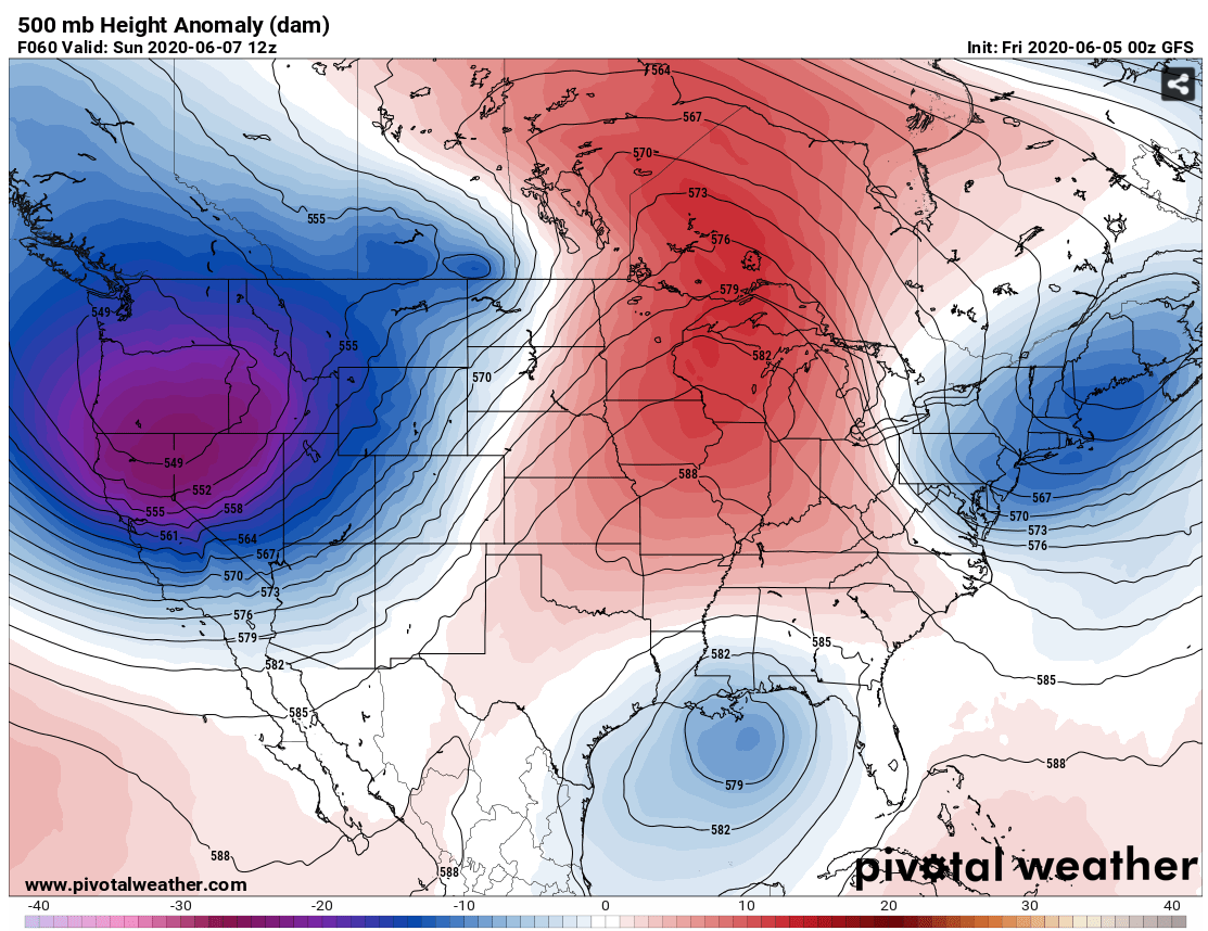
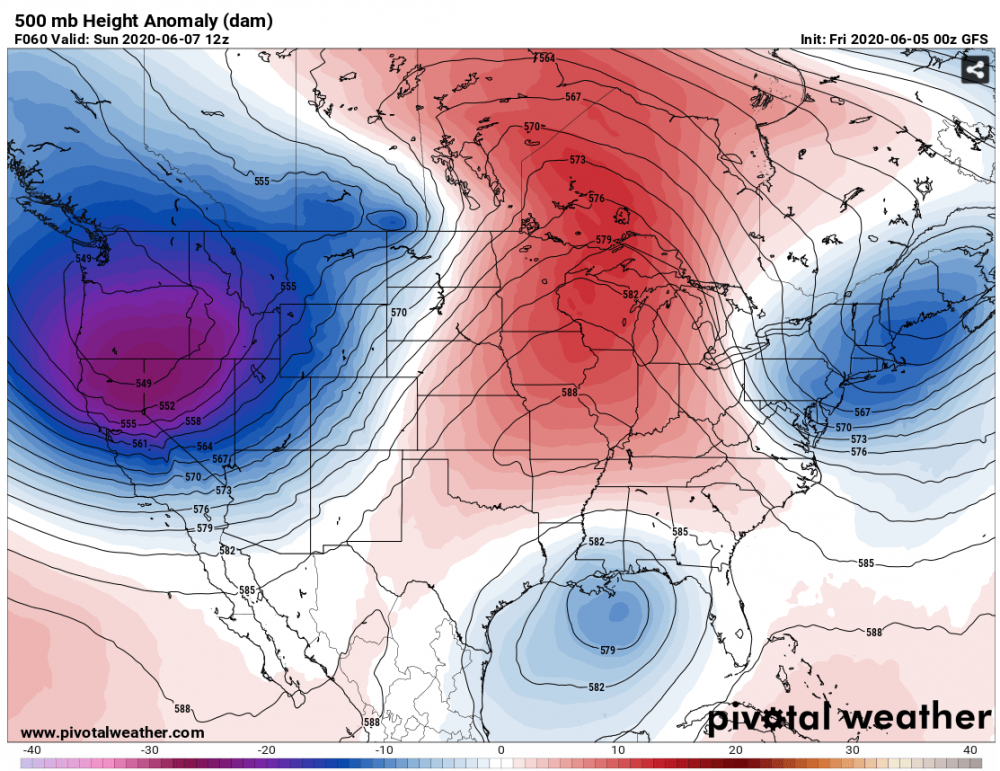
Could be some of that, but the pattern is so amped up - adding tropical heat into a favorable synoptic pattern could definitely lead to rapid deepening. The trough coming into the West has near record low 500 mb heights for June in the PacNW:
-
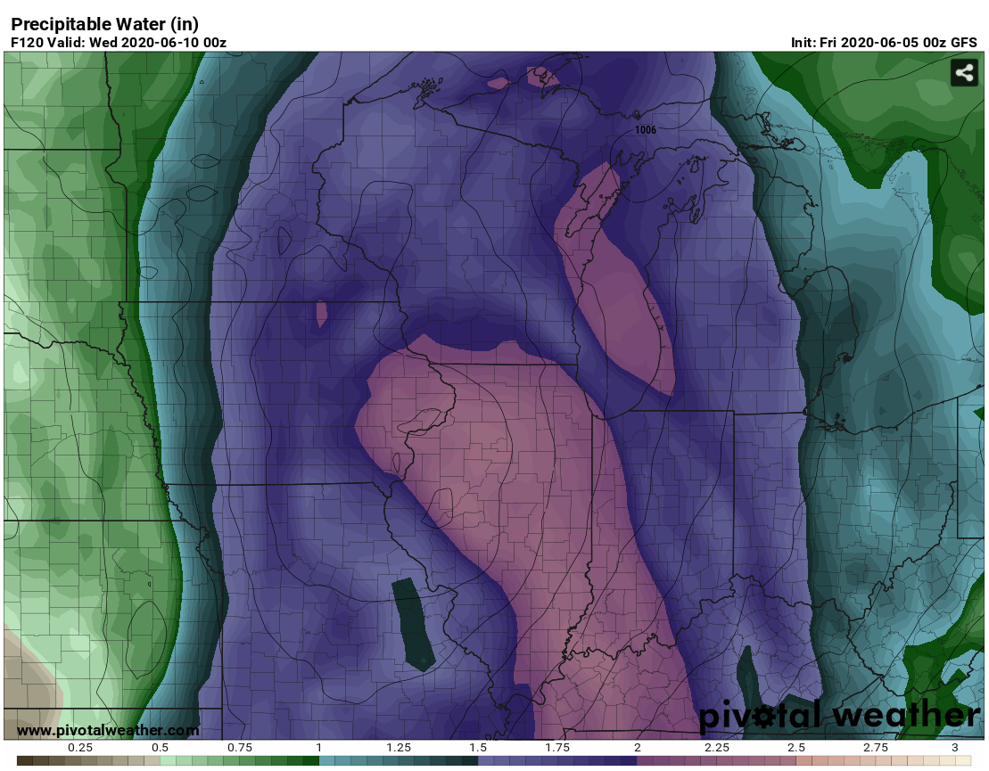
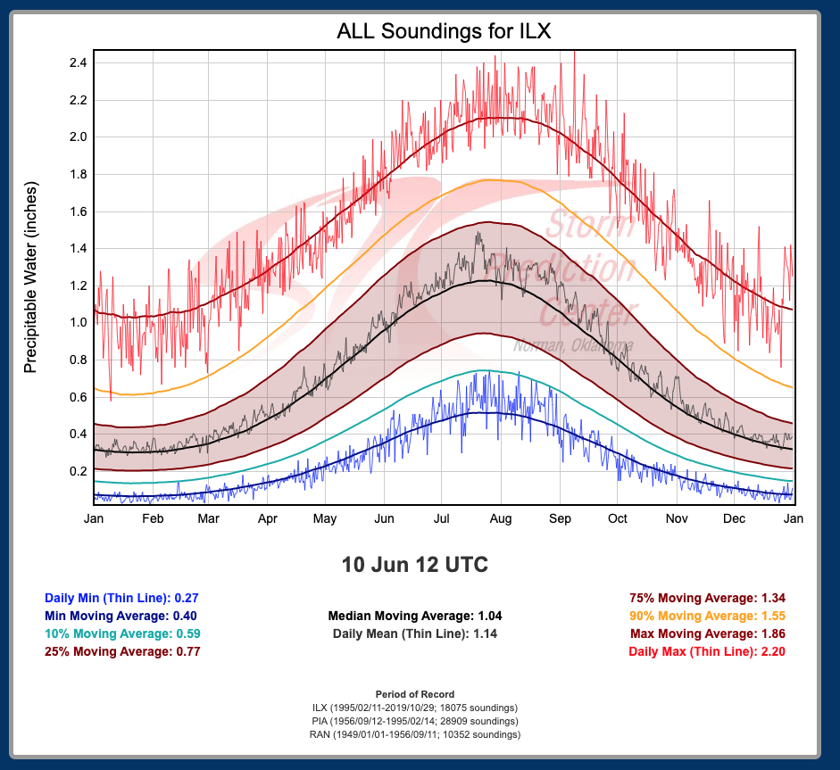
00Z GFS farther west a bit. PWATs are near or above record territory for June.


-
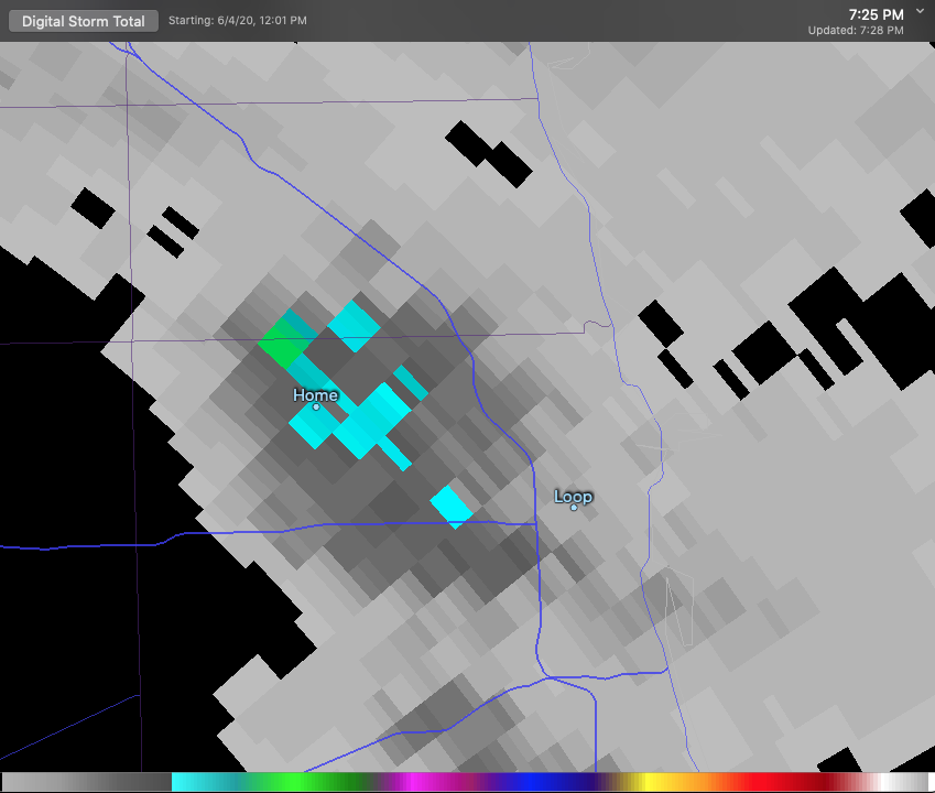
2nd lake breeze pop up of the year here - weird seeing this so early given ~August is climo. There are some decent/new puddles in the neighborhood.
-
http://arctic.som.ou.edu/tburg/products/covid19/

-
Spring/Summer 2020 Medium & Long Range Discussion
purduewx80 replied to Geoboy645's topic in Lakes/Ohio Valley
Ensembles certainly support the heavy rain threat. That Euro verbatim would also be a higher end tornado threat Tuesday evening ahead of the stronger SSW winds early Wed. -
Agree a slight risk upgrade would've been reasonable given an enhanced risk ceiling across a small corridor. I like the overlay of shear and instability across northern and possibly central IL. Chicago is likely in play too given early AM fog will clear quickly.
-
Crowded bars immediately after the ruling - only in WI. That partisan state Supreme Court has always been a hot mess. https://wkow.com/2020/05/14/crowded-bars-seen-across-wisconsin-after-safer-at-home-extension-struck-down/
-
Anxious to see updates for the past week. Many of the areas relaxing the rules now, I imagine, are in for a rude awakening. https://www.brookings.edu/blog/the-avenue/2020/04/29/covid-19-is-expanding-further-into-trump-country/
-
Because it started in the larger cities where people were traveling globally more often. It's fairly obvious the spread was efficient in areas with public transportation. Cut the N vs S bs. The civil war ended ages ago, and I think we all know who won.
-
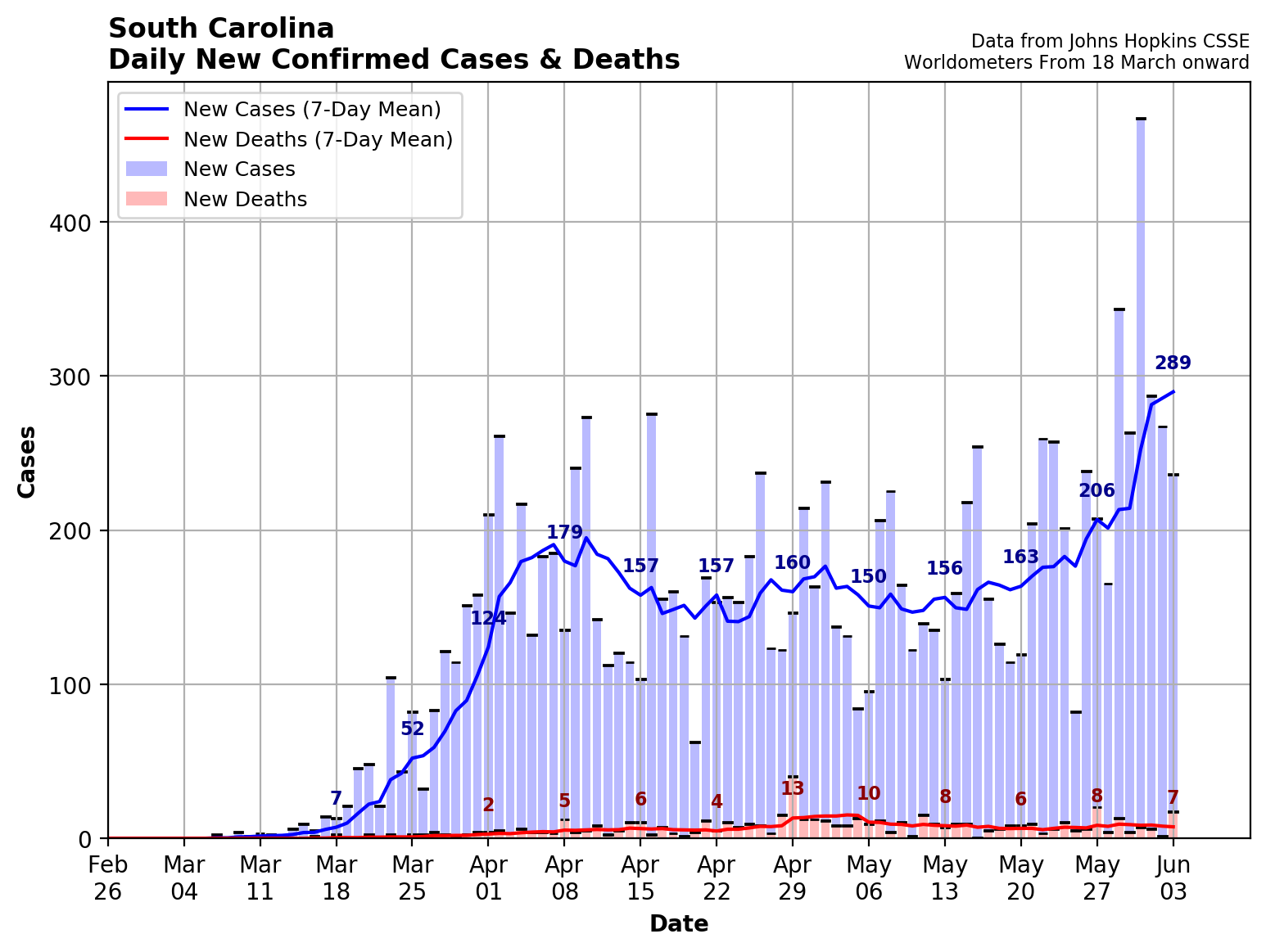
WI and SC are neck and neck in terms of cases per 100,000 people. https://www.statista.com/statistics/1109004/coronavirus-covid19-cases-rate-us-americans-by-state/