

OrdIowPitMsp
-
Posts
2,410 -
Joined
-
Last visited
Content Type
Profiles
Blogs
Forums
American Weather
Media Demo
Store
Gallery
Posts posted by OrdIowPitMsp
-
-
0.03” of rainfall last night. Front passed through and winds are gusting from the NW at 35-40 with temps slowly falling through the 30s.
-
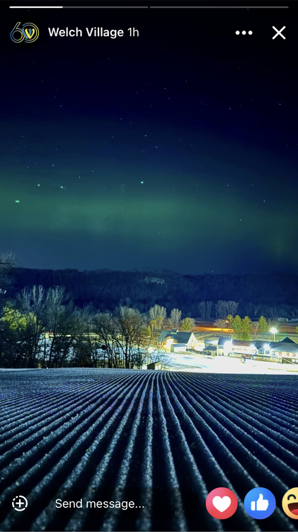
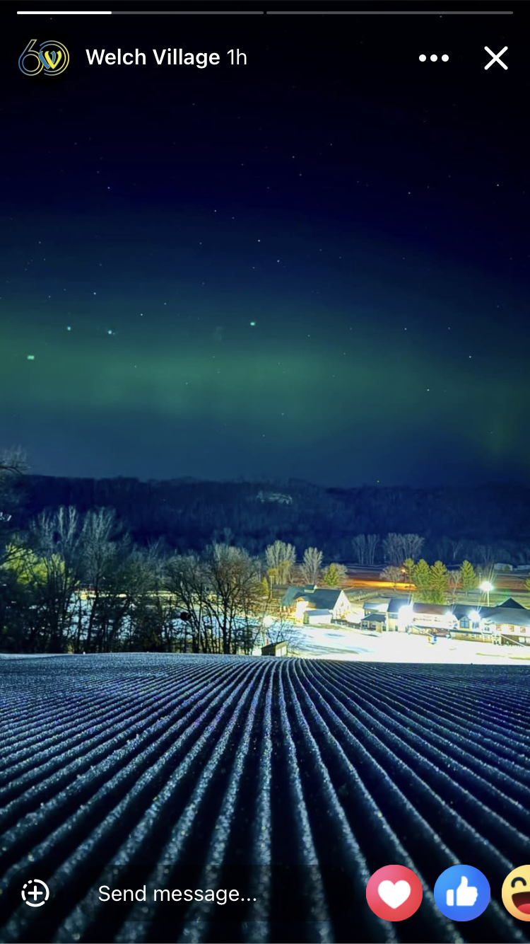
Morning model runs keep the snow north of the metro tomorrow. It’s closing day at my ski hill today. It’ll be a big party with a pond skip and lots of people dressing up to get their last turns before summer. We were treated to a celestial show last night too.
-
 10
10
-
-
NAM has been aggressive with wraparound snow here Sunday. 18z puts down 5” at MSP. In reality our ceiling is probably 1-2”
-
Not a single raindrop, dust speck nor a snowflake yesterday at MSP.
-
Ice out on Lake Nokomis this morning- 3/20. My local urban lake. The median date is April 4th. Last year was the earliest on record at March 3rd. Latest is April 30th 2018. Period of record 1959-2025
-
Miss south. Oh well on to spring.
-
00z NAM was weaker SE and underwhelming for MSP.
Snow-wise this winter has played out very similar to 23/24. The sustained seasonal cold made this winter significantly better though.
-
1
-
-
Winter storm watch one county south. This one is starting to have the same feel as the March 5th storm with models trending northwest and a sharp snowfall gradient setting up over the metro. March has been rocking this year.
-
2
-
-
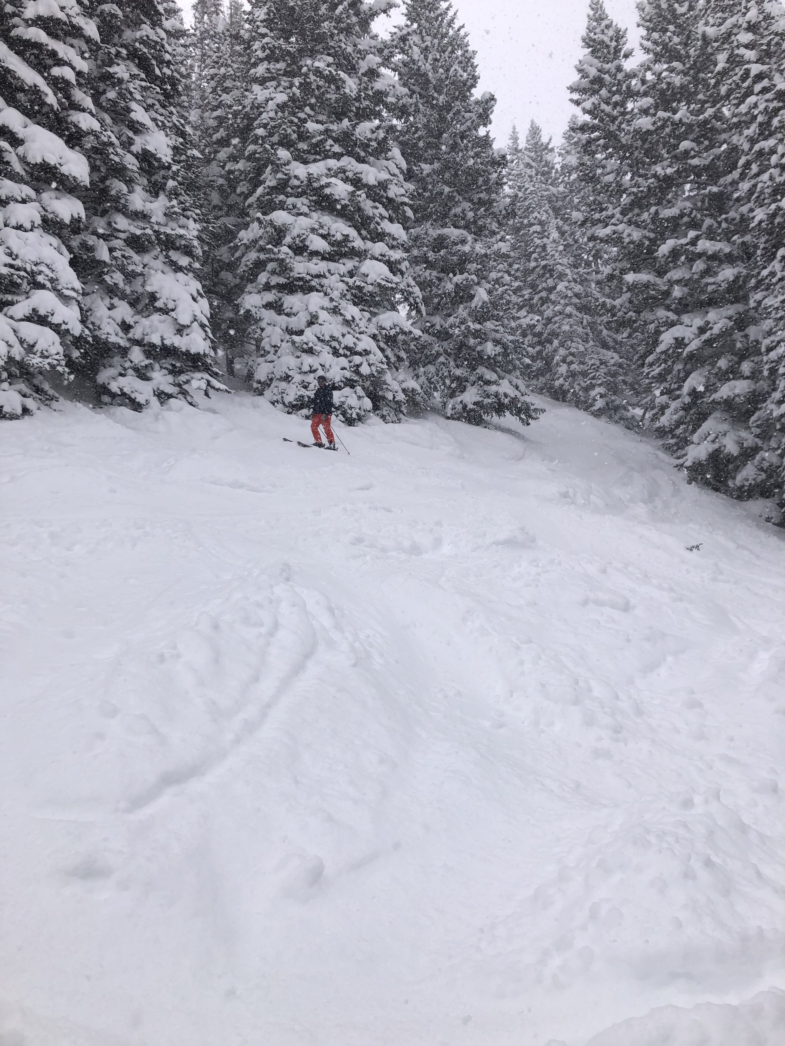
Been skiing 25”+ of powder in the Wasatch the last several days. I’m out of the loop, is this latest spring snow thumping for SE MN legit?

-
5
-
-
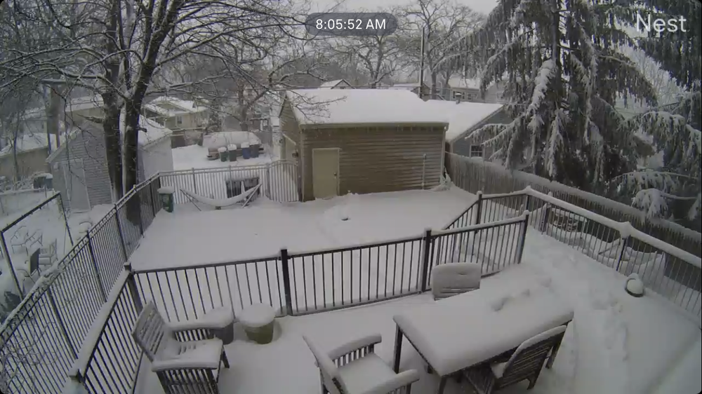
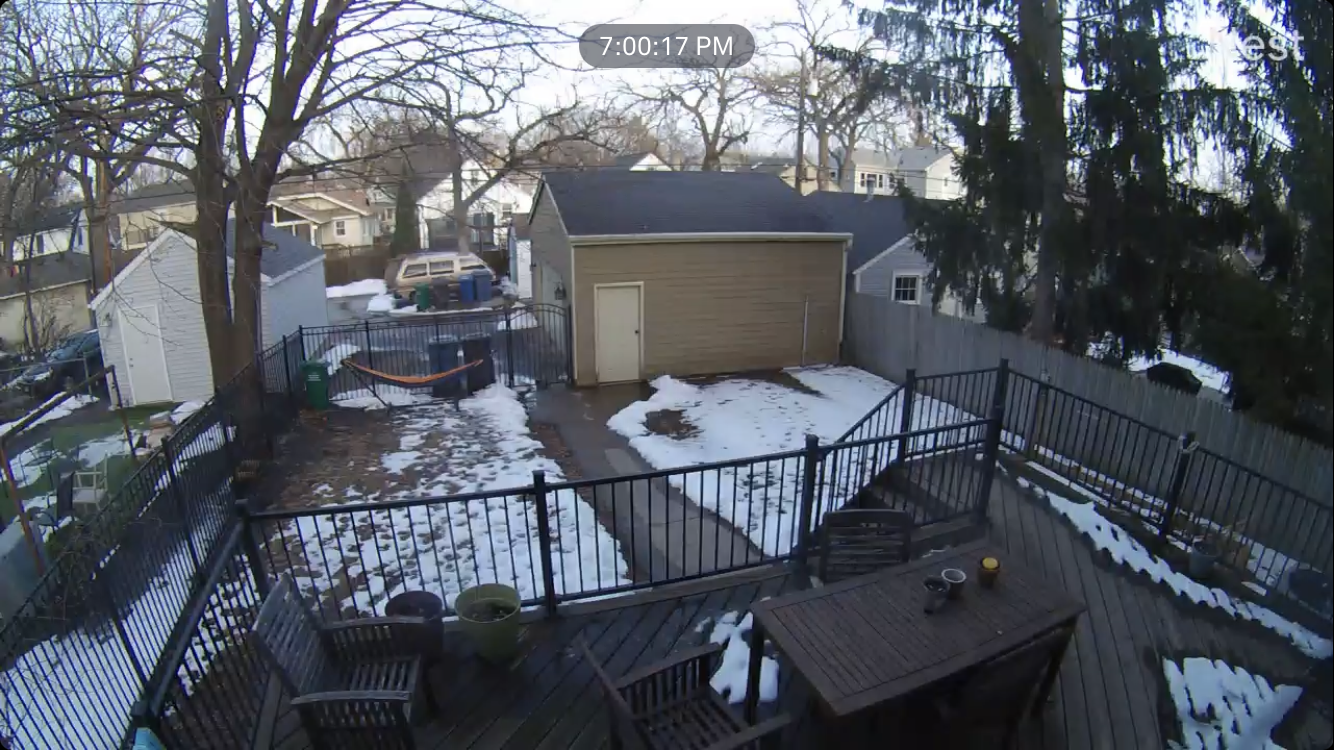
First 60 today in Minneapolis. Good chance of our first 70 tomorrow. Backyard cam shows the snowpack took a massive beating today and will likely be gone this time tomorrow.

-
Congrats Bismarck.
-
10 hours ago, michsnowfreak said:
DTW's 26.7" is -12.3" to date. More promise in MSP than here, although knowing our Mar/Apr history and the forecast SSW, I definitely can see some more snow following next weeks warmup. Every year in late winter/spring I mention how annoying the phrase "stat padder" snow is, but this year itll be even more annoying
 . After we stretched this seasons snowfall pretty far with snowcover days, it absolutely wouldnt hurt to bump up the total with some "stat padder" snow.
It wasn’t until 4 days out on this latest storm that the prospects of accumulating snow became a realistic possibility, anything can happen and that’s what makes weather awesome.
-
1
-
-
41 minutes ago, michsnowfreak said:
Skyrocketed MSP up to 25.6", so they are still well below normal. However additional potential likely lies ahead in March. I thought Rochester MN would do better. They only got around 3" and sit at 15.8" on season.
Average to date here is 41.3” so still -15.7” on the season but this made a huge dent and the long range holds promise.
-
1
-
-
Storm total of 9.5” at MSP. Our biggest snowstorm since the legendary winter of 2022/2023
-
5
-
-
Sun is coming out, lots of dripping with the temp at 28. Must be March.
-
 3
3
-
-
-
Last band rotating through now. 13” near Northfield MN is the highest report I’ve seen so far.
-
5
-
-
The NW trend is alive and well. Wind is whipping can’t imagine how bad the drifts are outside the metro.
-
10
-
-
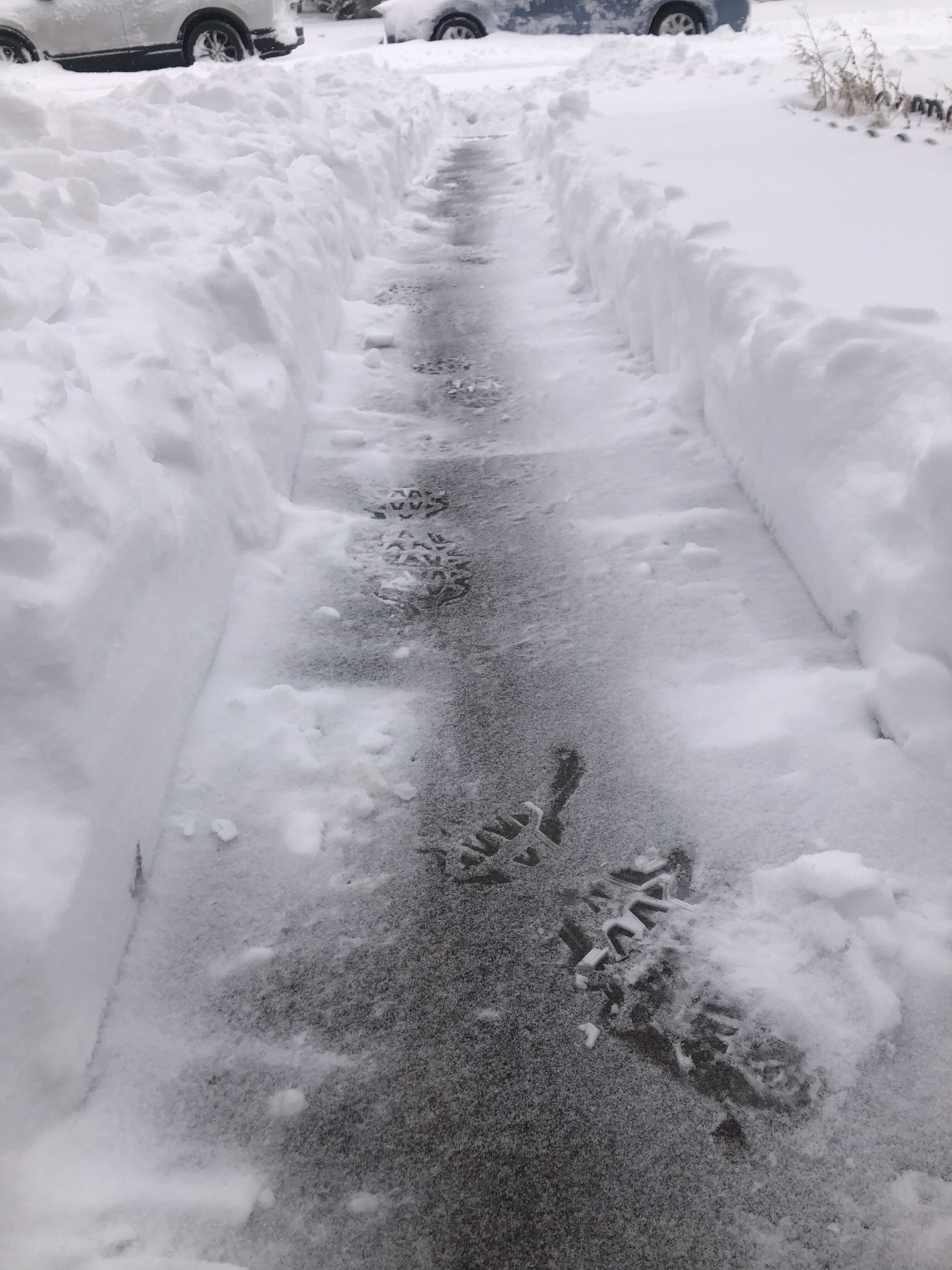
About as good as it gets out there this morning. Quite the drive into work.
-
6
-
-
MSP was at 2.7” at midnight, my original call from a few days ago lol.
-
2
-
-
It’s wild out there and we are just getting started. Visibility under a mile with gusts up to 35mph. Temps holding at 34 is the only thing keeping the flakes from really stacking.
-
2
-
-
30 minutes ago, mnchaserguy said:
Little layer of sleet on the grass. Looks like it’s switched to snow now. Might be a little ahead of schedule for the change to snow. Probably won’t add much to our forecast amount.
.Here it started changing to sleet around 6 and changed over to mostly snow around 6:30. The ground is already white. Definitely seems quicker then expected.
-
1
-
-
Light rain and dynamic cooling underway. We’ve gone from 39 to 36 in the past hour.
-
The air is thick with anticipation and moisture.

-
4
-

March 2025 General Discussion
in Lakes/Ohio Valley
Posted
I’m thinking more of a white rain at best scenario here. There has been good consistency this far out but we probably have to see how the stronger storm up north plays out first.