ams30721us
Meteorologist-
Posts
670 -
Joined
-
Last visited
About ams30721us

Profile Information
-
Four Letter Airport Code For Weather Obs (Such as KDCA)
KMLI
-
Gender
Not Telling
-
Location:
Davenport, IA
Recent Profile Visitors
The recent visitors block is disabled and is not being shown to other users.
-
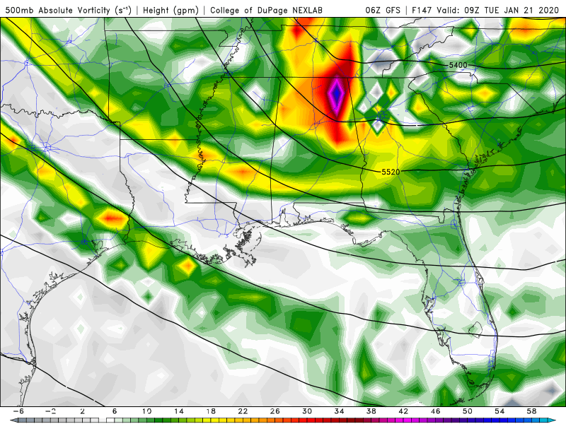
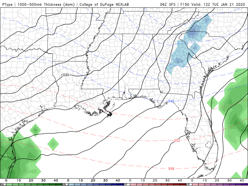
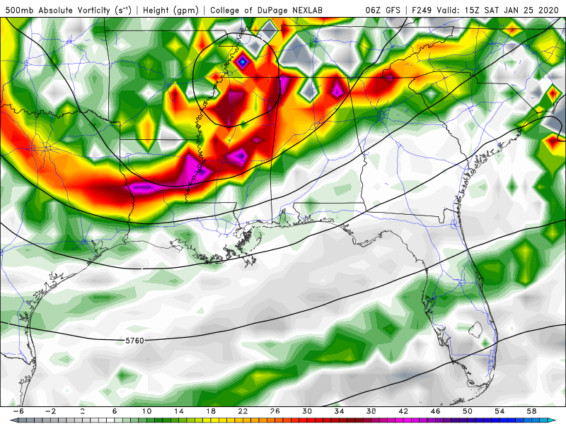
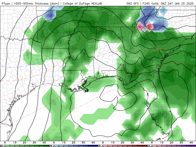
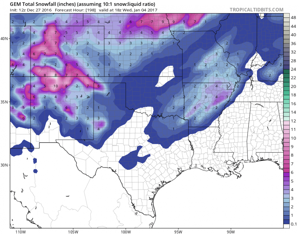
Nothing to bang the drums about, but as a few others have mentioned, watching a few opportunities for some wintry mischief next week. The first period to keep an eye on is a quick moving disturbance Tuesday, that could at the very least spark off a few snow showers. The vort is really not that far off from something a bit bigger, but would need to drift a little more west as it digs Monday night. The second, more fun disturbance to watch could be the one towards the end of the week into the weekend. Again, nothing to shout from the rooftops yet, but hey it's a few things we have to watch in the coming days imo!
-
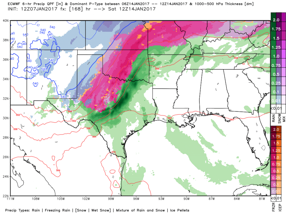
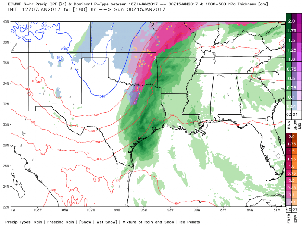
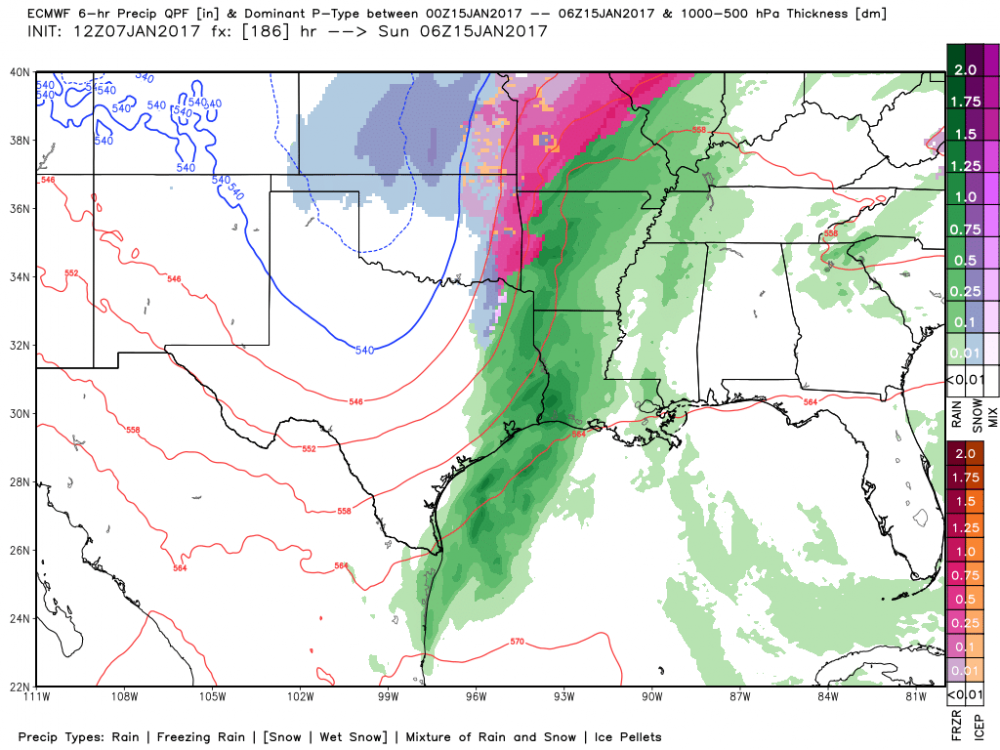
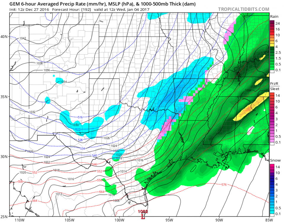
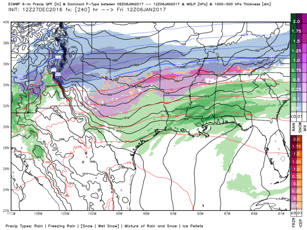
We actually have pretty good agreement now (barring an 00z Euro change) of this threat of a few waves overrunning the arctic cold front late next week. The GFS has come around to the Euro timing and strength of the initial trough and cold push. That allows the arctic air to be established a good 24 hours, before a few waves move across the area from west to east starting Wednesday night- Thursday and then again possibly on Friday. Minus some major blocking scheme change, I think this may be a pretty strong threat!
-
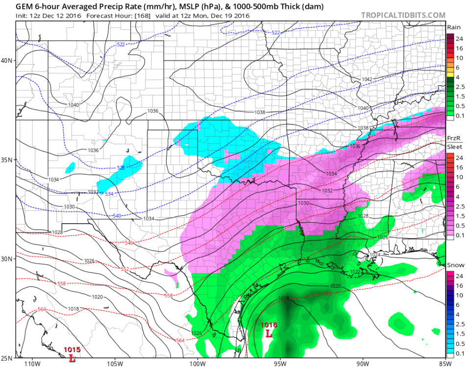
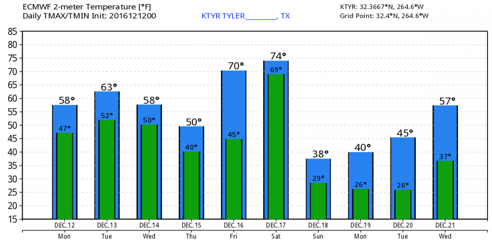
Wow! This reminds me a TON of March 2014 here. The night of the big Ice storm behind the arctic front. Not saying we will see that again, but that day we had temps in the 70's before the front rolled thru and we dropped into the low 20s here by morning. This front may even be stronger than that one since back then we actually had 3 inches of sleet and freezing rain everywhere. What a wild drop! 76-20 in 12 hrs! Oh and temp Tuesday are def. not balmy with that next system hovering around or just above freezing on Tuesday.

