

Henry's Weather
-
Posts
1,573 -
Joined
-
Last visited
Content Type
Profiles
Blogs
Forums
American Weather
Media Demo
Store
Gallery
Posts posted by Henry's Weather
-
-
Just now, GCWarrior said:
Just taught a never ever ski lesson, dumping sleet the whole time. Friends skied the woods, they were happy… now I’m sad.
This reads like poetry
-
 1
1
-
 1
1
-
-
2 minutes ago, Spanks45 said:
So what are the odds the GFS shows a hit between now and 0z?...
Seems exceedingly low on 18z given difference from 12 (more positive tilt/suppression on early returns)
-
Fitbit tells me I burned 6300 calories today by shoveling my house, running through the snow to gf’s house, and shoveling her house. Ah, to be young! (Which I am)
Although I seem to lack that sort of energy whenever it isn’t snowing. Thats the mark of a true weenie
-
1
-
1
-
-
1 hour ago, brooklynwx99 said:
personally I find it very hard to believe there isn't going to be a large storm when a four sigma west-based -NAO breaks down

4 sigma on a day 6 ensemble run… nuts
-
1
-
-
19 minutes ago, HoarfrostHubb said:
Maybe. And “worse” is obviously subjective, so maybe not.
From my experience, the further north you went the worse it got. Not a lot of difference between here and Holden I guess.Could have been from June 2011?
-
-
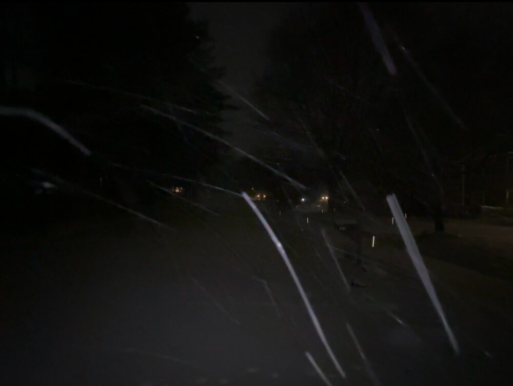
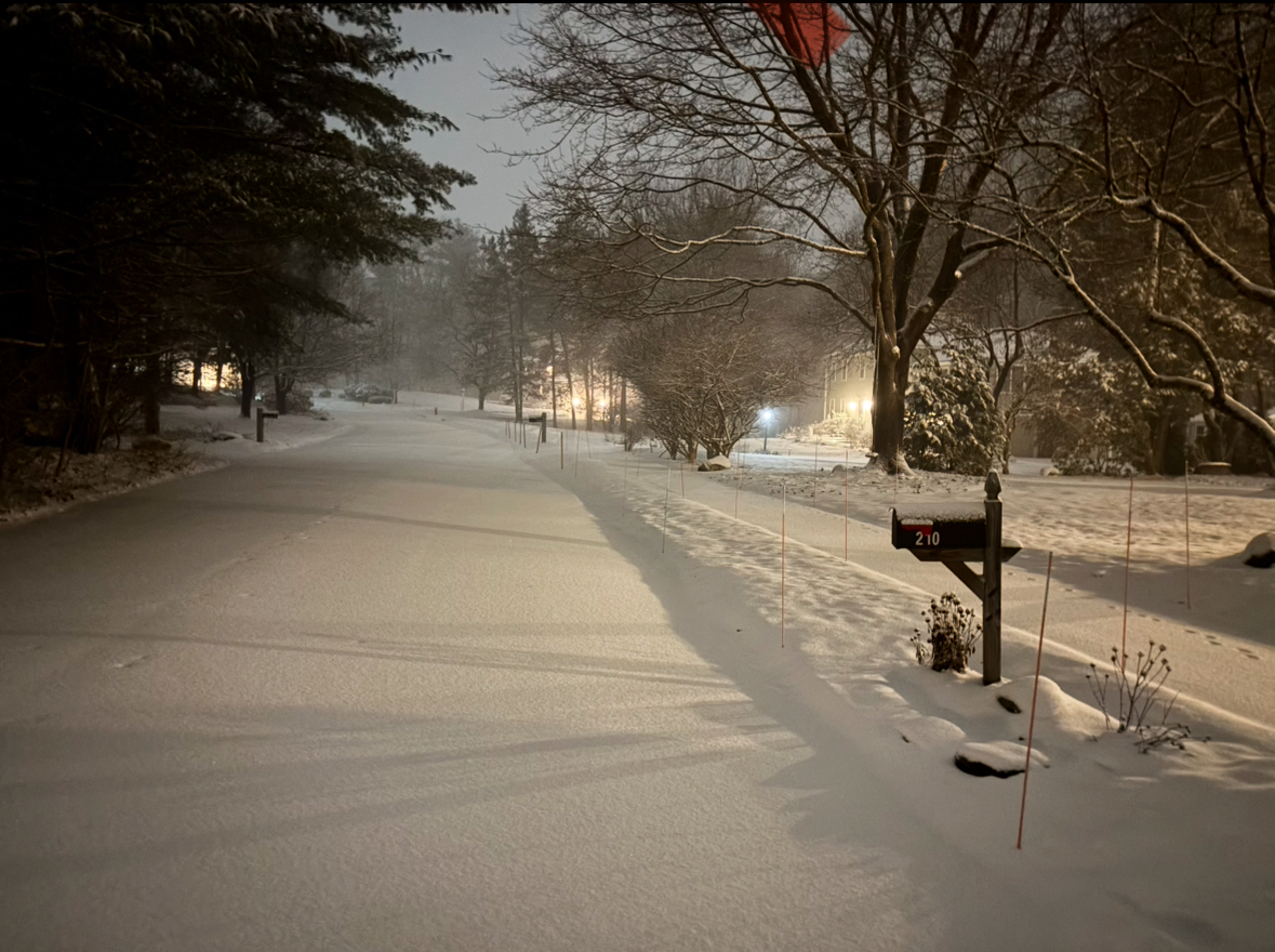
Absolutely ripping in West Concord. LFG
-
1
-
2
-
 1
1
-
-
1 minute ago, Chrisrotary12 said:
Haven’t looked at a model all day, been moving my mother in-laws house…. Still feeling good about 3-5” here? Always thought storm was moving too fast and not developed enough for bigger numbers.
Did Euro score a coup and things shift southeast? What’s the story? Asking for a guy who doesn’t want to scroll back 30 pages or look for himself.
Consensus 4-8”+ albany to the coast, euro caved to gfs, Nashua (where I think you are?) is in a prime location.
Contentious about NW extend of the goods and the r/s line (NW of Plymouth or not, and duration)
-
2
-
-
3 minutes ago, ineedsnow said:

Book it… sorry Tblizz
-
Is this basically a bunch of simulations based on the relationship between GFS forecast data and observations?
-
Just now, weathafella said:
We’re talking muthufukkas muthufukka!
SREF?
-
1
-
-
What the hell are you guys talking about?

-
1
-
-
8 minutes ago, The 4 Seasons said:
Safe to say the GEFS is by far the best run yet. A very obvious trend NW each run. Yesterday it had almost 0 members giving SNE any QPF, its not like there was even a spread.
As far as i know the GEM was the only model really amped yesterday.
.thumb.png.cce91fbcfce9e06e54a8ff33defd7a6e.png)
A clear and damning trend
-
18 minutes ago, Typhoon Tip said:
gotta go back to elementary physics on that one.
everything in nature happens because A ≠ B ... if A = B nothing happens.
when A ≠ B then either A --> B or B --> A ... the strength in which "-->" occurs, for the purpose of this context, is dictated by the thermodynamic gradient - or the steepness between heat source and sink
the gradient between the polar regions, and the equator.
... the polar regions are warming faster than the equatorial region... but, they have a long way to go - below a threshold ( of sorts) still. because they have such a deep hole in the total global thermal budget to begin with, the gradient - for now - is steepened by the regions outside of the polar regions. there's compendium of examples of how this manifests in global pattern and wind behaviors -
And even though the poles heat faster, as temp increases, the same delta T is a larger delta kinetic energy increase? Which means that delta Kinetic energy is higher, which means that the motive force for redistributing kinetic energy is higher -> faster circulation?
-
18 minutes ago, Typhoon Tip said:
what is meant by awful Pacific, tho -
we just agreed that apparent compression/shearing/velocity soaking is taking place in both neg and pos pnas and regardless of epos.
look, it's not the pacific.
its the planetary medium. that's just it - sorry
Mechanistically, how would CC cause a faster flow? Simply more kinetic energy available due to higher temps globally?
-
Just now, CoastalWx said:
It's not negative, just telling it how it is. Venting sometimes can be negative...I am guilty of that. Passed that now.
Yeah, reality can be negative for sure. Probably needs out-letting somewhere, relatively harmless to do so (not saying you do it in particular) on an online weather forum.
-
26 minutes ago, CoastalWx said:
This is why sometimes I like being brutally honest. I used to be all positive, but to me it’s not reality.
Better to be negative on here than with loved ones I bet
-
There isn’t the same disruption/collosus gravity as the big ones, but I love a good 4-8 storm or 3-6. The big ones take a huge emotional toll that doesn’t always pay off.
The hard thing is that we never get those 3-6 deals anymore. It’s all coastals now
-
 1
1
-
-
New NAM certainly has a slightly better orientation and more time to come up the coast. Verbatim will still miss
-
1
-
-
1 hour ago, ORH_wxman said:
Who the hell is that guy and why would he issue a blizzard watch almost a week out?
I’m not necessarily opposed to issuing alerts about high-potential systems far in advance. I’m sure it wasn’t intended to be similar in kind to the NWS’s old blizzard watches.
No clue if this guy sucks or whatever, but I feel like the idea is fine
-
47 minutes ago, 40/70 Benchmark said:
Honestly, the only reason I didn't start the thread at the precise hour that he did is because it slipped my mind...if you look, I made my "its coming" blog post on Monday night right as he was starting the thread. What can I say....it didn't work out. 9/10 when you get a unanimous trend like that among guidance at day 4, it doesn't reverse, but in this case it did. The added bonus was the N steam also shit the bed, so we don't have to deal with the near miss, 3 " on the s shore BS.
The solution to these terrible disappointments is to literally mot care about OP runs outside of 100 hrs. If those depictions had no emotional resonance, we wouldn’t be experiencing this disappointment, bc the ens means were always potentially promising but not honking “storm!!”
-
5 minutes ago, WxWatcher007 said:
I’m getting my affairs in order before this threat officially goes to hell and I can cancel the rest of winter Sunday.
Sounds ominous…
-
1
-
-
5 minutes ago, weathafella said:
Getting back to the euro vis a vis January 2015. I remember guidance kind of hinted at a DC storm about 5-6 days out and scooter through his famous tantrum. I was on a work trip in Pittsburgh and was enjoying the 1” they had on the ground thinking it was nice to see snow again. This was a Friday and I returned home that night with a progged slop storm coming Saturday. I wake up Saturday and checked the overnight euro and see the hook and a snow pummeling coming in 60 hours-with no other guidance on board. The slop system over performed and 2 days later we were off to the races. How long must we pay for that?
That slop system was pretty good in its own right iirc, nice 4-8”
-
1 minute ago, WxWatcher007 said:

From that, to this.

As our sinking ship fades into the night, I’m not too proud to make one last plea.Euro, Euro, Euro, Euro
I’m begging of you
Please don’t take my snow
Euro, Euro, Euro, Euro
Please don’t take it
Just because you can
We fell in love with your night run
Of feet and feet for everyone
With crashing temps
Dildos for none
Now Scooter’s out
And Ray is done
You’ve turned our snow
To clouds and sun
You’ve porked us all
Atlanta’s won
Euro
I dream about it in my sleep
Awake, I read the thread and weep
I’m praying
For a little snow
Euro
The long range ghosts appear again
My back is broken as a man
Please let me go
I’ve taken all I can
Euro, Euro, Euro, Euro
I’m begging of you
Please don’t take my snow
Euro, Euro, Euro, Euro
Please have mercy
Halt your fatal blow
New England winters are a lossRegression’s here
The rats are boss
And I cannot endure this hell
Euro
I had to plead my case to youMy winter hopes depend on you
And whatever you decide to do
Euro
Euro, Euro, Euro, Euro
I’m begging of you
Please don’t take my snow
Euro, Euro, Euro, Euro
Please don’t take it
Even though you can
Euro
Eurooooo…
This must be the Yonce version
-
1
-

.png.295c1a64304bb9526eddaf265323ac44.png)
June 2025 Obs/Disco
in New England
Posted
Morning convection is a good indicator for afternoon severe? @weatherwiz