

PowderBeard
-
Posts
2,027 -
Joined
-
Last visited
Content Type
Profiles
Blogs
Forums
American Weather
Media Demo
Store
Gallery
Everything posted by PowderBeard
-
Significant Severe Weather Event Possible Thursday, August 27, 2020
PowderBeard replied to weatherwiz's topic in New England
66* and heavy rain. -
Significant Severe Weather Event Possible Thursday, August 27, 2020
PowderBeard replied to weatherwiz's topic in New England
Yea that is very apparent. I thought it was not modeled to really push north for 3-4 more hours though. -
Significant Severe Weather Event Possible Thursday, August 27, 2020
PowderBeard replied to weatherwiz's topic in New England
Clearing has started and the sun is coming through. Burptown waits... -
Significant Severe Weather Event Possible Thursday, August 27, 2020
PowderBeard replied to weatherwiz's topic in New England
Been watching that too. Many times the morning of we see things back down a bit in terms of potential. Just ride it out. -
Significant Severe Weather Event Possible Thursday, August 27, 2020
PowderBeard replied to weatherwiz's topic in New England
Not as isolated either. Only certainty is we either see a lot of "DAMAGE" or "stein" posts tomorrow. -
Significant Severe Weather Event Possible Thursday, August 27, 2020
PowderBeard replied to weatherwiz's topic in New England
Live on the edge. Drive up to the Canaan area and hike up Bear Mt. -
If we are going to be stuck in Mass then Berkshire East is the best terrain we have...unless we all storm Brodie.
-
Yea I could not imagine it. I only ski it on weekdays after a decent storm, it gets scrapped down fast (see pic). The pucker section is almost the length of Upper Giant Killer. In the above pic is my wife, it was her 3rd year skiing I believe the first time she did it. When asking about a new trail she always asks if it is more difficult than the Poma Line. The next lift service/unmarked thing I would love to ski are the Survey Lines at Smuggs. I've only seen one video and it looks similar but more intimidating.
-
The old Poma line or the back side? Back side is flat. I don't know how people rode up that thing, so damn steep. The narrowness, old footings, and steel cable along with ice falls makes it one of the harder trails around. Typically survival skiing because getting a good flow would take a ton of snow and if you get much speed you'll be screwed. And I've hit it on 28" of fresh, still bare spots.
-
I always found Pico to be much more friendly and lax lol
-
It's probably the combination of the VT plate, Subaru, and driver rocking Birkenstocks with wool socks while blasting some "Fire on the Mountain" getting stuck on the beach than just the VT plate lol
-
And Vermonters at MRG just hate everyone lol I think some if it can be justified due to some problematic characters (e.g., swimming in quarries this summer, empty Bud Lite bottles thrown off chairlifts, etc.). I have the same knee-jerk reaction coming from RI when so many folks at URI and the beaches are not from RI. I completely agree with the quarantine policy though and would adhere to it.
-
At this point I'm not even sure we will be buying passes this year given VT's quarantine guidelines. I have several ski friends were stopped by country sheriffs in southern VT and questioned (even after quarantining) since they had out of state plates. Hopefully the Berks get some decent snow for back country adventures.
-
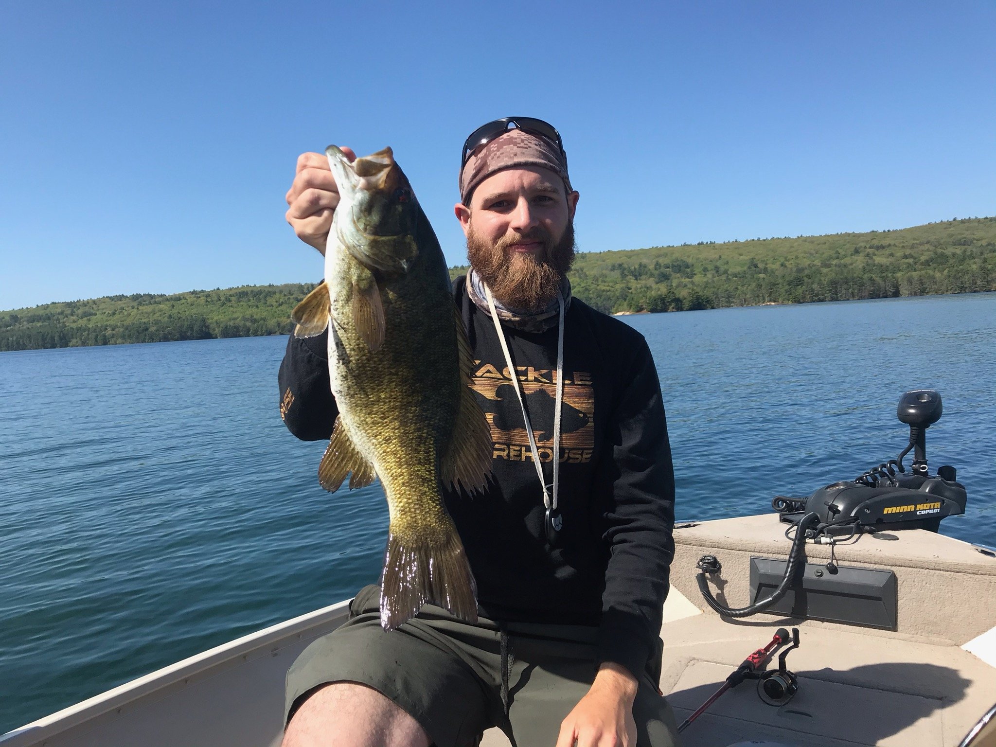
It's been so warm a couple nights in low 60s all the fish think it's September and have moved shallow. Caught a big rainbow in about 15' then a 5+ smallie I sight-fished in about 8' of water.
-
Seriously. I don't understand why the Quabbin smallies are not deep yet. Holding in 10' grass flats. Should be on schools of bait over 30' by now. Everything is late. Reminds me of 2018, was catching 4+ smallies off docks on Great Pond in Maine in August, only the small fish were deep.
-
Fish are all messed up at the Quabbin. Even with last year's cold spring the spawn was in full effect. Past 2 weeks all males on beds, almost all females are still off shore. Yet to see a pair on a bed even though the water is in the mid-60s. Went deep in 25-45' and got all bigger females. Given the bellies, they are either full of eggs or still early pre-spawn. Never seen anything like it.
-
Quabbin is stupid right now. Maybe 5-10% of smallies are spawning, rest are eating jerkbaits on the edges of windy spawning flats like I've never seen before. Fished 1-4pm Wednesday and had over 40 smallmouth, only a couple under 2 pounds. Biggest went 4-13.
-
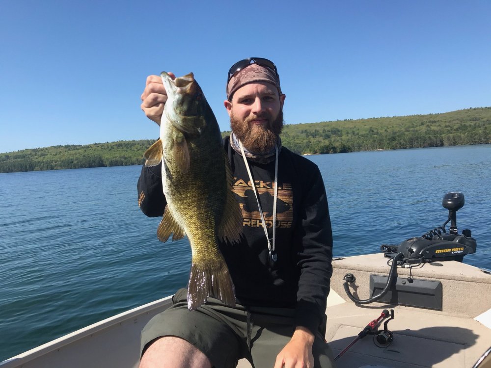
Smallies are getting ready to do the deed. All the cold mornings have beds deeper than I've ever seen. Lots on 10-15'. Any tapering points with a hard bottom had fish stacked on them in 15-30' yesterday.
-
Yup, and only tow vehicles, trailers, and boats with Mass registration. A lot of guys in NH and CT are not happy. When I can steal a neighbor's for the day I'll let you know.
-
Tough day out there today. Thought we would smoke them as the water is in the upper 50s, clouds, no wind. I went through a whole bag of jig trailers since every hookset would send a 1/4oz or 3/8oz back at my face and a single claw missing. Just wouldn't eat it. Ended up with 8-10 largemouth (nothing over 2 lbs,) on the finesse worm or 3.5" swimbait and about 30 slime darts.
-
Wow. Quabbin temps are still in the upper 40s, most smaller areas are in the low-mid 50s. Similar to last year around here, first wave of smallies did not start bedding up until the first week of June but beds were present for weeks prior. Cooler mornings just kept pushing them back down.
-
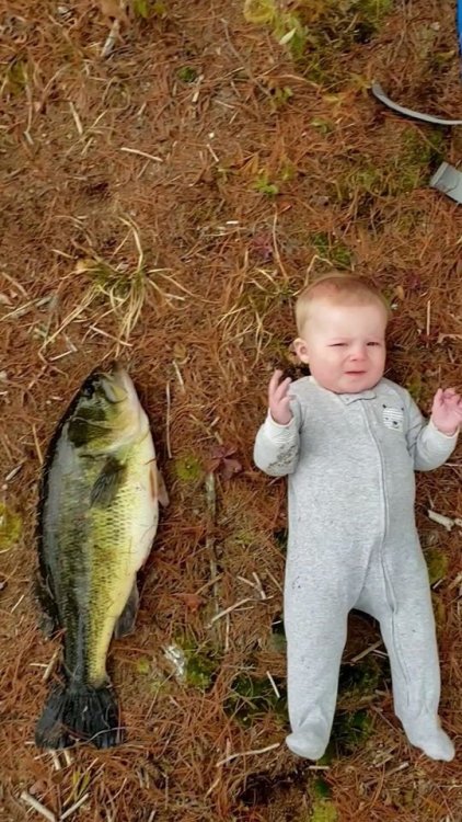
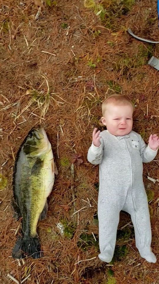
Mom thought it was pretty funny as did the rest of the family. I could not get a picture of me with it for size so had to improvise. She is almost 9 months old for reference and about 18 pounds. Conservative guess was the bass is 8.5-9 lbs. I compared my measurements of it to a friend who just got a certified 9-2 largemouth (his was 22" long and had a girth of 19") and he insists its >10 but I don't think so.
-
Got a giant out of the Quabbin on Wednesday. Was the baby's first largemouth experience.
-
Hit Lake Warner in Hatfield yesterday since the Oxbow is closed. Pretty awesome looking water. One whole shore was a river channel 5-8' deep with trees down. The opposite was 2-3' lily pad fields. Found some pretty cool old foundations and stone walls with the sidescan unit. Eight largemouth but nothing over 2.5 pounds (all came on the jig), a handful of pickerel on the swimbait, and even a 16" rainbow on the damn Ned rig. The first warm day brings out all the stupidity. Dozens of folks out in canoes or kayaks, no care for social distancing around the boat ramp or that Mass requires life jackets until May 1 given cold water temps. At one point I'm fishing a jig 20' from shore and two yakers (who have hundreds of feet to go behind me) tried to cut between the boat and shore.
-
Nice! This was a few weeks ago. 16" cast iron for reference. Biggest rainbow yet so far.
.thumb.jpg.9609aea5c0c54467aebc2719e9f5368f.jpg)



.jpg.53a9f550dd7f49721e25be06776e9dac.jpg)