

klw
-
Posts
4,822 -
Joined
-
Last visited
Content Type
Profiles
Blogs
Forums
American Weather
Media Demo
Store
Gallery
Posts posted by klw
-
-
2 minutes ago, WhitinsvilleWX said:
Still nothing. Column must be dry as the Sahara right here.
if expecting, the column must not have always been dry.
-
 2
2
-
-
Are the radar returns over S VT virga or am I in for an awful commute home?
-
7 minutes ago, TheSnowman said:
The Hype around snowstorms are so laughable now. A general 10-18 / 12-20 type storm would be considered “A pretty big snowstorm” when I was a kid. Now the news and especially National News is “A Dangerous Life-Threatening Storm”.
Hide the Kids! Put them in bubble wrap, for God’s Sake Save the Children! Buy Groceries because the stores will Never Operate again!
What happened to people. Find your damn ballsacks from pre-1960 and reattach. (Not you guys)
Very little happened to people but what happened was instead of 3 TV stations clamoring for attention there are now hundreds plus the net. TV wants you to tune in and thus hypes this stuff like crazy. People now also share Kuchera clown maps on Facebook and that is how news is spread to many without explanation. People are the same, media is different. If anything snowstorms have less of an impact than they used to because up until the 1/96 storm, AWD and 4WD with the exception whereas now most everyone has an SUV or Crossover with AWD or at least knows someone with one. In the 96 storm, NJ hospitals asked for volunteers with AWD to help patients get to treatment. That would likely not happen today.-
 1
1
-
-
SRF mean up here at KLEB is now up to 18.5 inches with a range from 3.5 to 30". I am thinking 4 to 6, maybe 8.
-
BTV has given me a Watch. They put out a couple of new maps:


Well there is a third but why would I want to look at that:

Probable range is dusting to 14 inch with a 5% chance of more that 18". Expected is 5".
-
1
-
-
9 minutes ago, powderfreak said:
3km NAM Kuchie
Seems reasonable.

That would have me regretting my decision this past weekend to not bother clearing a way to get the snow blower out of the garage.
-
From the BTV midday AFD:
.NEAR TERM /THROUGH WEDNESDAY/...
As of 1202 PM EST Tuesday...No changes needed to fcst this aftn.
We have noticed some significant changes with the new 12z
guidance, with a shift northward in the qpf and potential
snowfall acrs our central/southern cwa associated with system
late Weds into Thurs. After coordination with WPC and
surrounding wfo`s we will have the latest update with aftn
package.
-
1
-
-
7 minutes ago, IowaStorm05 said:
What’s this deal with the snow line completely and perfectly contouring itself over the coast proper?
It doesn't want to fall into the water and melt
-
1
-
-
19 minutes ago, MJO812 said:
West shifts continue
Until 18z goes back in the other direction.
-
56 minutes ago, dendrite said:
lawl

The gradiant on that run is so severe here it would give me 20 inches at our house and 7 inches at the start of the driveway.
-
1
-
-
7 minutes ago, HoarfrostHubb said:
People really losing their shit over 1 NAM run? C'mon folks, you are better than this
Welcome to the board, you must be new here.
-
3
-
-
1 minute ago, powderfreak said:
NAM Kuchie... looks like the most likely option.

So the range for the potential in my area has been reduced to a dusting to 28 inches. Glad to see this coming into focus.
-
1
-
-
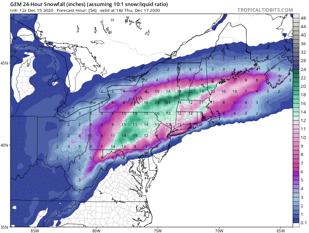
FWIW (I know) the Nam puts the heaviest snow in the same general area as the SREF
https://www.spc.noaa.gov/exper/sref/sref.php?run=2020121509&id=SREF_SNOWFALL_MEAN12HR_

SREF mean is 15" for KLEB and members top out at 26.7 inches. Clearly not a big deal because it is not officially winter until a SREF member shows be getting at least 40".
-
2
-
-
18 minutes ago, Ginx snewx said:
So boxing day.... Hey all thanks for the thoughts. I am in Hartford Hospital with blood clots in both lungs. Man talk about pain. I think I am over the hump as they are transferring me out of ICU today to a step down room.
My call without much involvement is 14 to 20 in the jack zones in NW NE Ct. 8 to 14 rest of CT . Stay safe kids
Get better, here's hoping for a speedy recovery!
-
13 minutes ago, The 4 Seasons said:
Side by side 00Z vs. 12Z qpf on the EC.


It bumped me from about .03 to about .11. The trend is my friend! (unless we include the 06Z)
-
1
-
1
-
-
9 minutes ago, Bostonseminole said:
wait, we need the german model
"I'll take signs of desperation or obsessiveness for $100, please Alex"
-
If my memory of the last couple of years is any indication, I would guess today and Wed AM we have ticks NW and Tues and Wed PM on we have ticks SE but that is just based on my rough memory of how things have been going.
-
 1
1
-
-
I have about 10 pages from overnight I haven't read. Were there any decent melts or should I just skip them?
-
1 hour ago, backedgeapproaching said:
That was a little nuke even out this way. Had 4" in 1 hour early that AM. Think it was quick 12" IIRC.
We had just shy of 11" with that one here.
-
12 Z GFS with the annual Grinch storm falling on Festivus this year. It is hour 384 but in our hearts we know it will happen as it does almost every year. (Yes I know it gives me snow as shown) We could have started the thread for this back in June had we wanted.

-
2
-
-
36 and mostly snow at this point
-
12 minutes ago, PhineasC said:
Cam link is back up.
https://video.nest.com/live/URwoSmP3dg
Light snow here at the moment, 31 degrees.
-
26 minutes ago, PhineasC said:
Mountains are totally obscured now.
It is down for some reason. I think I need to restart the router.
How can your camera be down on today of all days! You had one job! Just one job!
-
2
-
-
light rain and 37f here in the 05055. I got up the last of the leaves just now. Pond is full from the recent rains, springs are active again. Winter can now start.


Dec 16-17 obs/nowcast thread
in New England
Posted
9" here as of 6:30. Heavy snow band is getting us afterall, I thought it would juuuuuust miss us to the south.