

Hyphnx
-
Posts
281 -
Joined
-
Last visited
Content Type
Profiles
Blogs
Forums
American Weather
Media Demo
Store
Gallery
Posts posted by Hyphnx
-
-
8 minutes ago, wasnow215 said:
Call me crazy but to be in the “negative bullseye” (much less precip than areas north and south at this range on GFS is actually comforting haha.
GFS has shit ton of ice. We can't do ice..
-
 1
1
-
-
Looks like a big ice storm is in play for Central Virginia..... GFS and RGEM are showing significant ice accumulations. Wondering what AKQ will out out tomorrow.
-
RGEM is bringing back the ice threat for Central VA. Oh no....
-
3 minutes ago, clskinsfan said:
Saturday storm is juicy. I would think it starts with a burst of snow over to heavy sleet. Looks like fun.
That's too much mix for Central VA. Do not need to be without power going into the week for those who do not have a whole house generator.
-
Ice is getting too close for comfort
-
-
-
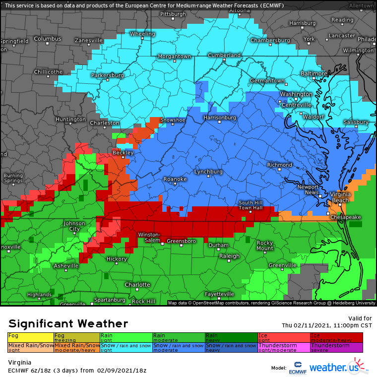
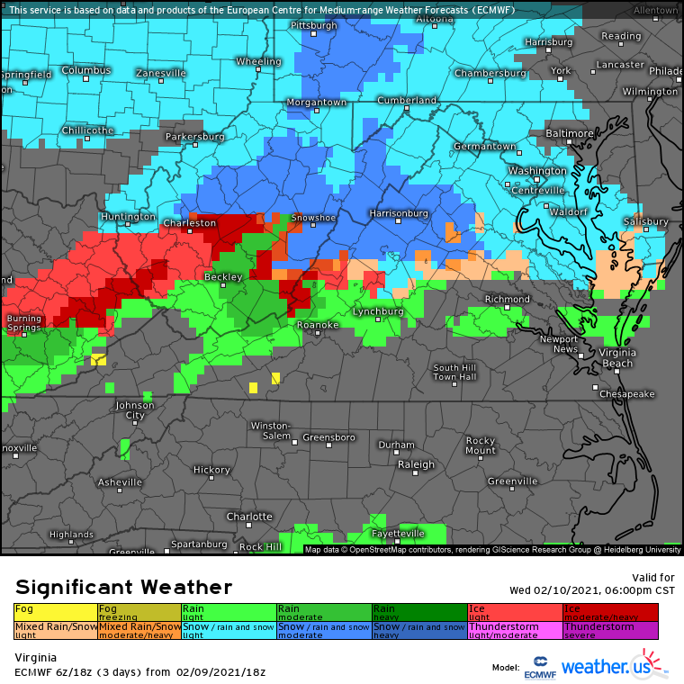
Looking at significant weather parameter, there is minimal ice threat for Central VA.

-
-
GFS cuts the snow for RIC but brings back a significant ice storm.
-
13 minutes ago, CavalierHoo said:
Sorry. My "why" was for this.
Because it will become less of a north vs south on this forum.
-
NAM has us getting good snow. Hope the people up north get something.
-
6 minutes ago, psuhoffman said:
Where does DT live again?
Chester, VA
-
10 minutes ago, Clueless said:
What’s your location?
RVA
-
1
-
-
1 minute ago, snowfan said:
Ha

Shit
-
Just now, WesternFringe said:
You are going to grow hair on your palms.
Dear snow gods, please let the RGEM be right! I think that solution pleases the most people in this sub.
We will all win with the RGEM and will relieve so much tension between many people.
-
2
-
-
From AKQ
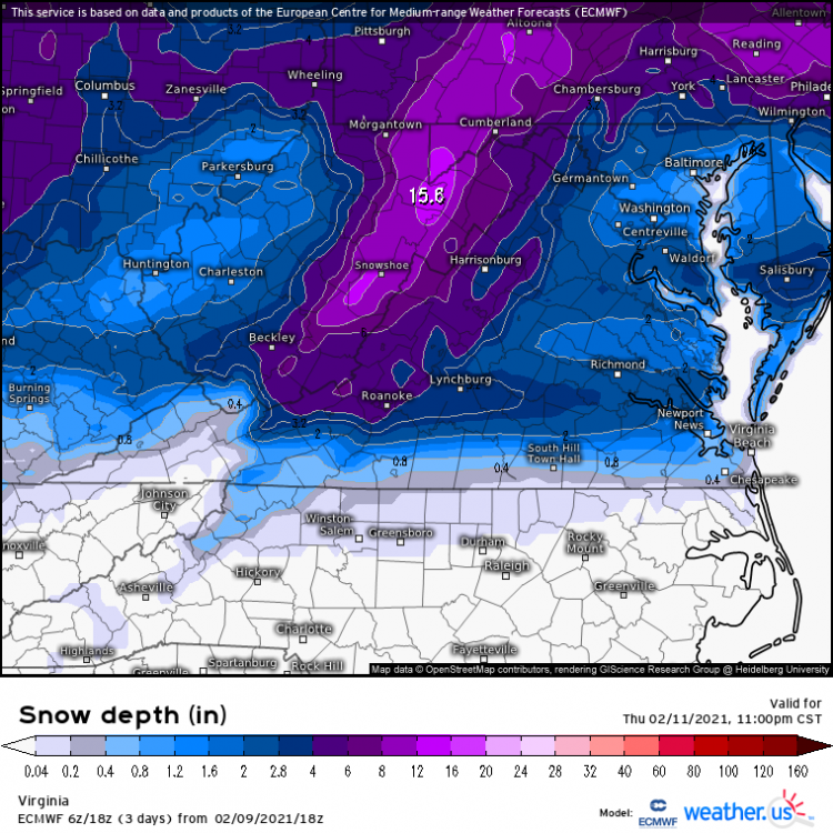
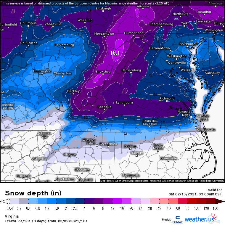
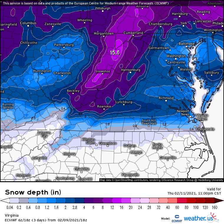
Quote.SHORT TERM /SATURDAY THROUGH SUNDAY NIGHT/... As of 415 AM EST Friday... Clear and cold to start, with the sfc high pushing offshore through the day. Quasi-zonal/downslope flow will actually allow for a modest warm up on Saturday, and went a few degrees above NBM inland. Highs in the upper 30s to around 40 at the coast, low to some mid 40s inland on Saturday. Clouds will quickly start filling in later Sat aftn/night, ahead of next system digging from the mid-south across the Carolinas Sat night. All eyes will turn to this feature Saturday night. Lead shortwave shifts to the coast with initial slug of WAA- induced overrunning moisture pushing across the mountains into our area around and after midnight EST Sat night/early Sunday. Models continue to point toward some light PCPN possible earlier, but antecedent dry airmass will delay onset by a few hours. In any case, model timing differences remain, with the GFS trending toward the slower ECMWF, with the NAM/CMC in the middle. Have nudged PoPs up into likely to categorical range after midnight into Sunday morning toward that middle ground solution, as it appears there will be sufficient moisture with that initial WAA slug of moisture to bring some snow to much of the area pre-dawn Sunday morning. Top-down tools yield snow/sleet at the onset for most early Sun morning, w/wintry mix (IP/SN) at onset even along the coast by daybreak Sunday with wetbulbing. Snow gradually goes over to a wintry mix (RA/SN/IP) as prominent warm nose nudges in from the SW as the system approaches. Exception appears as if it will be across far NW tier of zones, where ECMWF/CMC and their member ensembles continue to show high probs for Warning criteria snows, mainly along and N of a FVX-RIC-XSA line. Nudged Storm Total Snow forecast to 4-6 inch range north- northwest of the RIC metro area, with a maxima along the Hwy 15 corridor in Louisa/Fluvanna counties. Lesser totals for RIC /Tri-Cities area and points farther south, as rain and sleet are likely to cut into totals considerably over much of these areas (and especially points S/E). Accordingly, also expect there will be a rather tight gradient as is typical well inland. Regardless, this remains a tricky forecast with rain likely over the southern portion of the area, snow over the northern portion of the area, and mixed precip likely for much of central and eastern VA (just inland from the coast). Bulk of the precip is likely from 12Z Sunday to 00Z Monday. Parent upper low crosses the area Sunday night into Monday, with some additional light pcpn possible. Accumulating precipitation will be largely over, but considerable clouds and light rain/snow will be possible. Lows Sunday night in the mid 20s well inland to mid 30s SE.
-
-
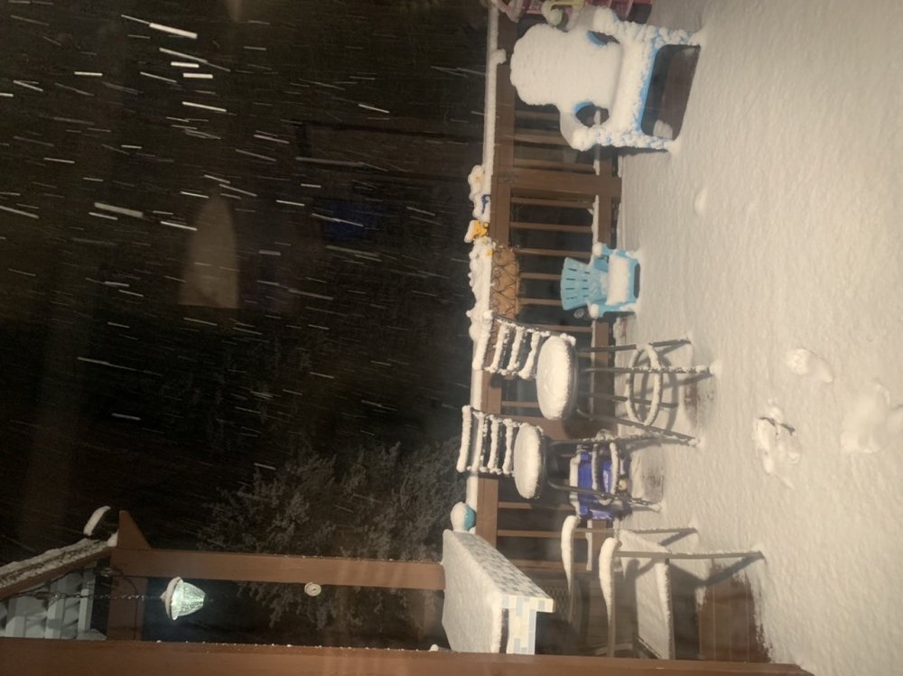
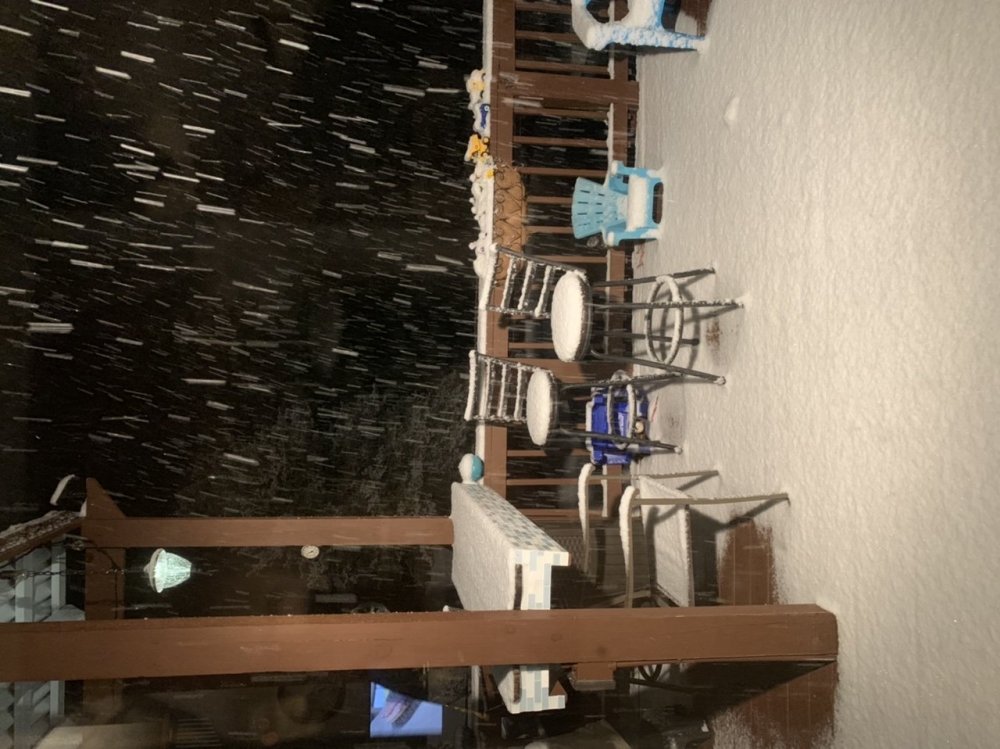
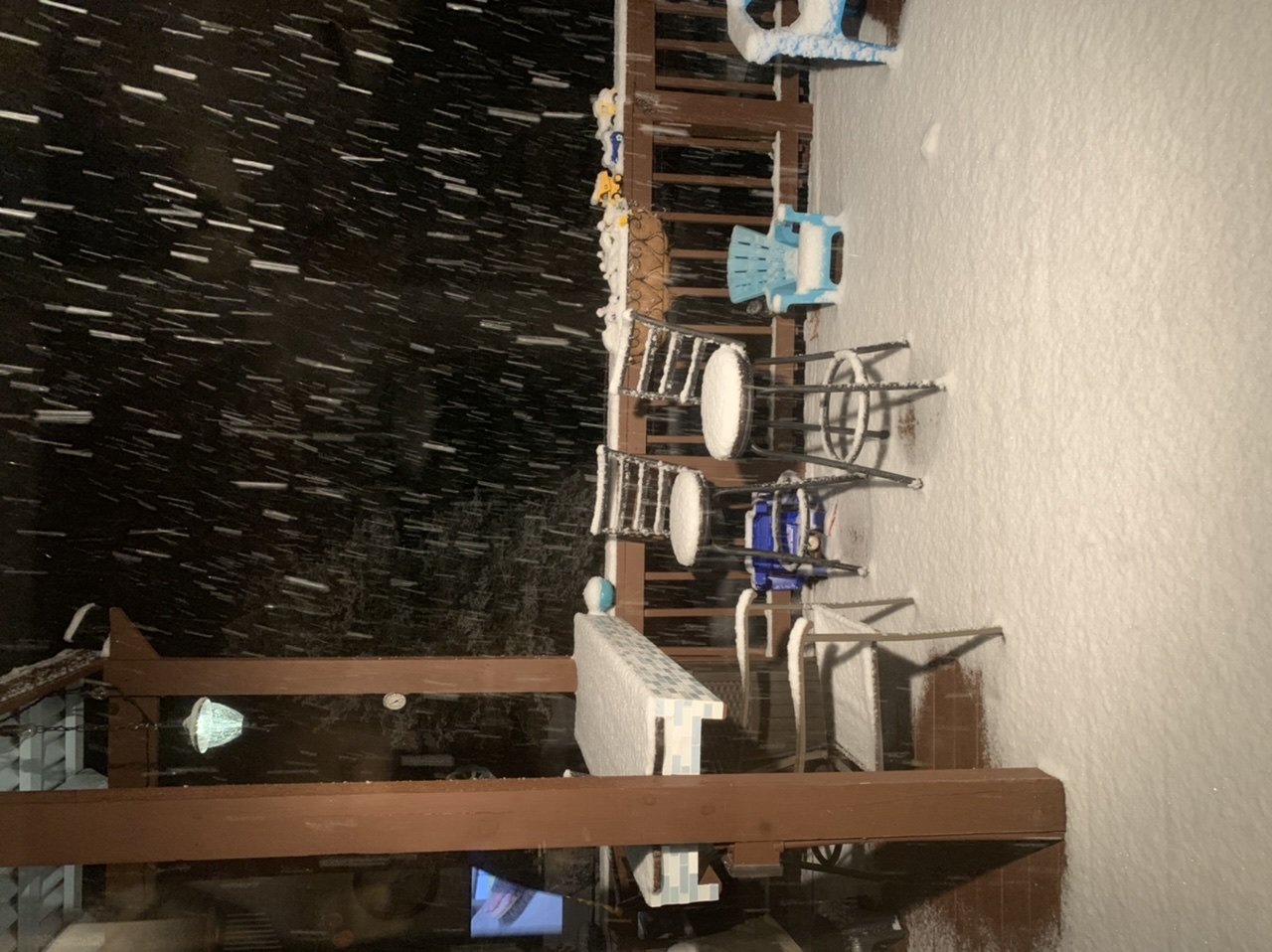
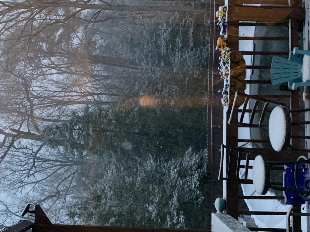
Measured 3” in Chester. Still snowing a good amount
-
4
-
-
 Little over an inch right now in Chester
-
2
-
-
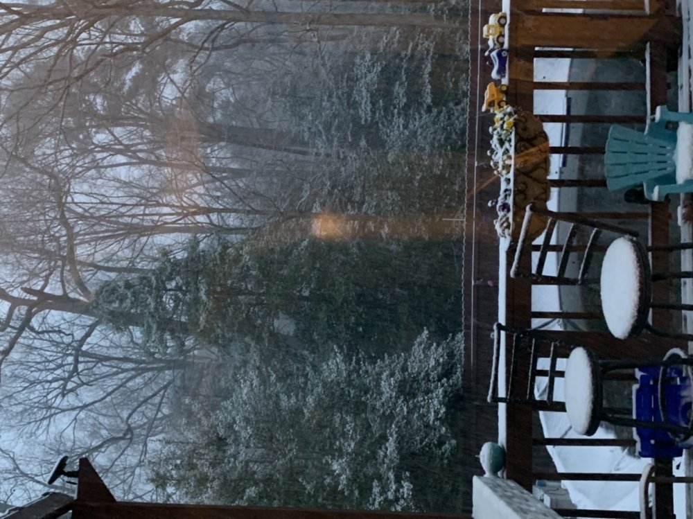
Sleet in Chester
-
23 minutes ago, eaglesin2011 said:
Yeah Its def hitting a brick wall if you look back of the storm in Nashville TN area and everything drifting south... to me the boarder or VA/NC somewhere around roanke rapids nc looks to be the sweet spot .. Storm def looks to moving quickly ... looks to be a little front running band headed to chester area is that producing anything?
It is, working on getting live feed and pictures now.
-
It's been real! Maybe next year?
-
Maybe living in Chester will finally pay off...
-
 1
1
-


Richmond Metro/Hampton Roads Discussion
in Mid Atlantic
Posted
So... Tuesday?