SnowJoMoJo
-
Posts
81 -
Joined
-
Last visited
Content Type
Profiles
Blogs
Forums
American Weather
Media Demo
Store
Gallery
Everything posted by SnowJoMoJo
-
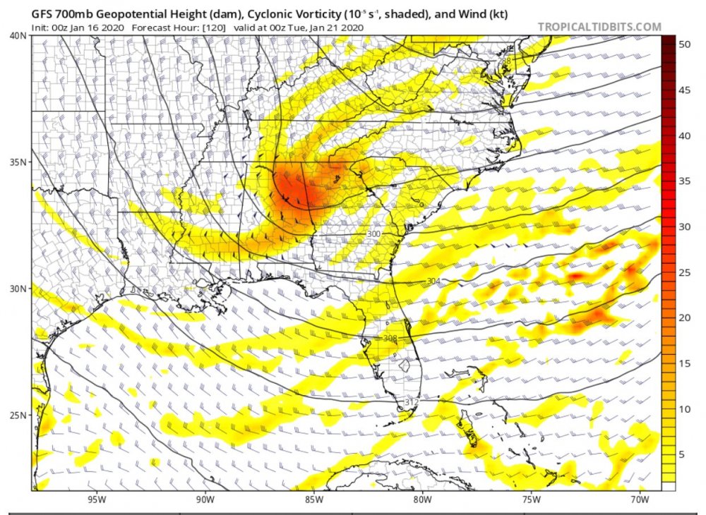
January 30th- Feb 1st ULL and coastal storm obs
SnowJoMoJo replied to JoshM's topic in Southeastern States
Finally ripping in Wake Forest 79159720914__321D2125-0115-41E7-B60B-F33D8A0CE3D7.MOV -
Nice call BullCity. Not skunked this year!
-
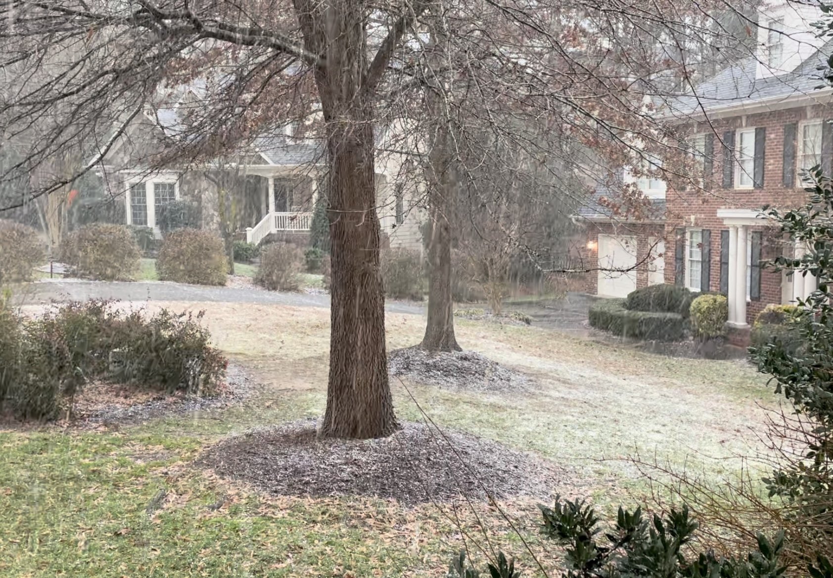
Thunder snow in Wake Forest right at 16:00. Some graupel as well. Quick dusting during the peak of it and 41oF.

-
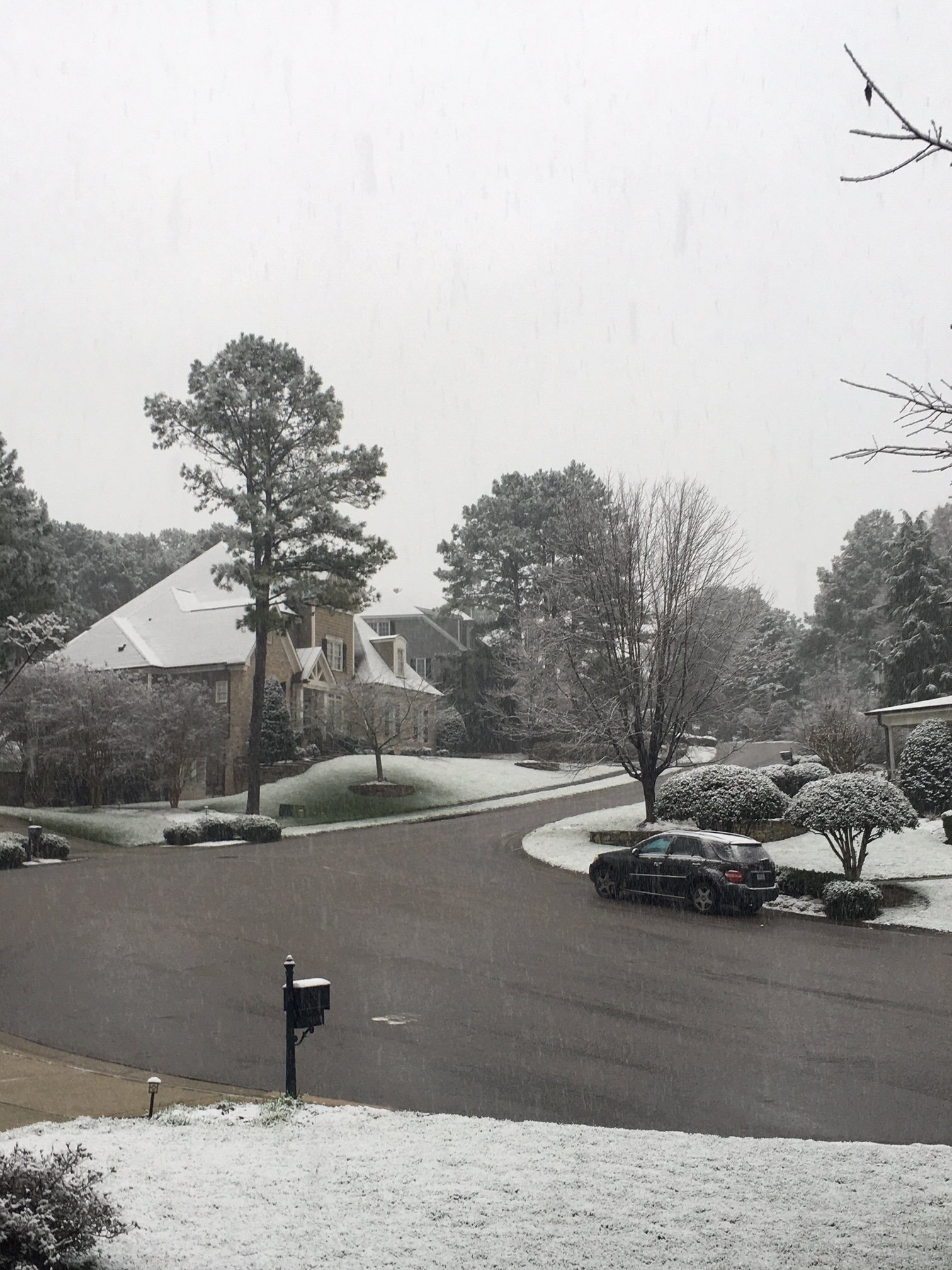
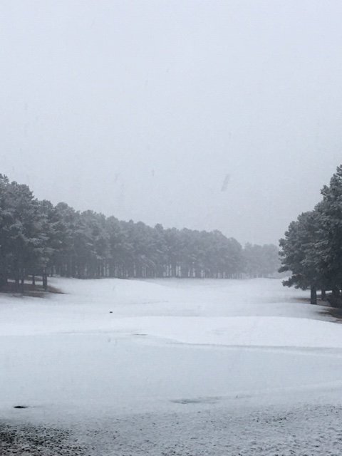
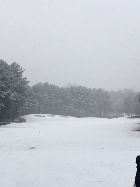
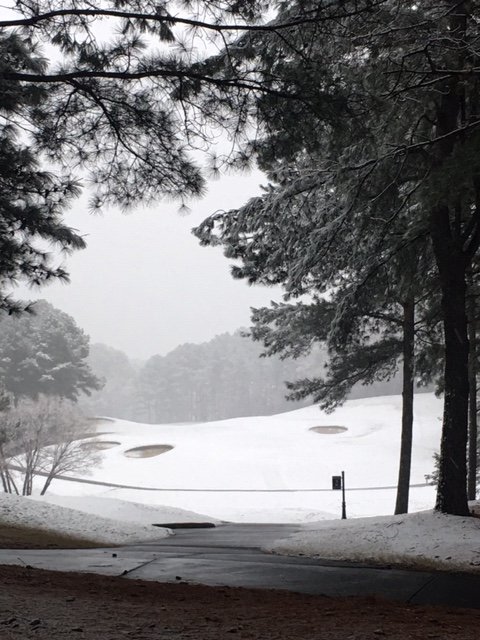
Still moderate snow and 33, 33. It is compacting and melting only slightly less fast than it is coming down. This is the Heritage area in Wake Forest. About 0.5 to 0.75 on the ground.
-
-
Light to moderate snow in Wake Forest. 33, 32.
-
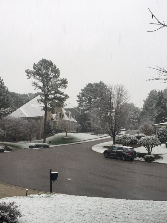
Happy to! It is ripping right now. Truly starting to accumulate on elevated surfaces and grass. Yard is rapidly whitening. 34, 33.
-
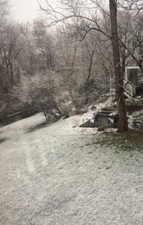
It is snowing in Wake Forest now. Starting to get a slushy accumulation on elevated surfaces. 35 degrees.
-
Changing back to rain snow mix now in Wake Forest. 36/35
-
back to slushy rain in Wake Forest. - 37/33
-
light rain/snow mix in Wake Forest. 39/34.
-
flurries at Sugar Mountain, Banner Elk, NC area http://www.skisugar.com/cams/
-
38/38 in Wake Forest, NC - high,thin, overcast
-
Looks like pressures are trying to fall in upstate SC.
-
Maybe this little bit of energy will kick up a quick little late bloomer?