Wonderdog
-
Posts
3,745 -
Joined
-
Last visited
Content Type
Profiles
Blogs
Forums
American Weather
Media Demo
Store
Gallery
Everything posted by Wonderdog
-
I've got about a 10 mile cushion. I just warmed up the toy!
-
Are those light green "fingers" for lack of a better word, in VA indicative of the negative tilt beginning?
-
Why isn't there an enhanced area on that map?
-
Triggered!
-
You gotta like hearing the term "negative tilt"!
-
But isnt this storm really bombing out around our latitude as opposed to south of us?
-
Are the Kuchera snow maps still wacked and if so why haven't they been fixed?
-
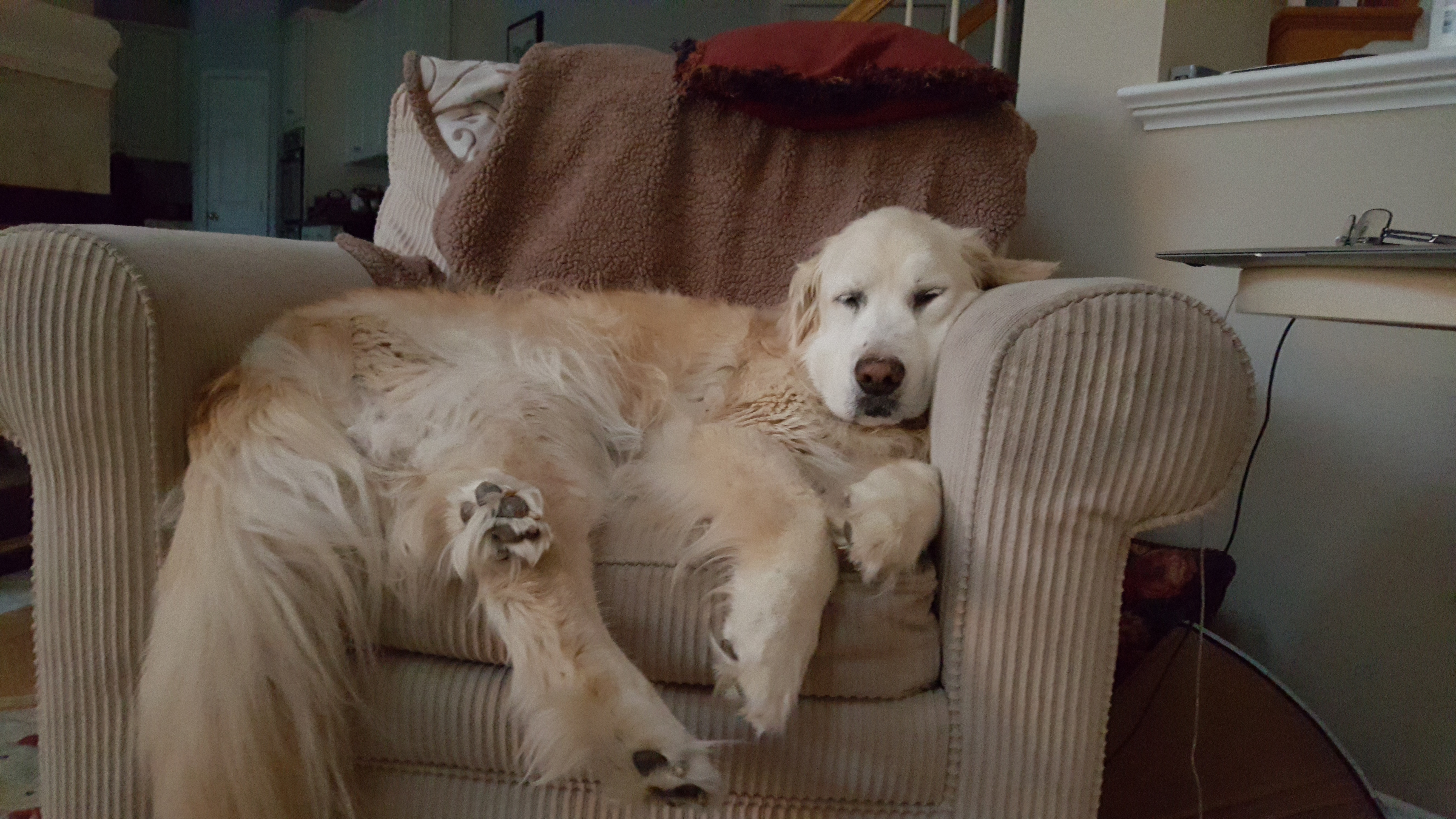
Him and the golden snowshovel
-
It would head straight for Hatteras
-
Is the midweek storm your typical Miller B?
-
Snow and sleet pellets in Gainesville 33゚
-
EURO looks prettty good for NOVA on the 15th. Looks like periods of heavy snow or sleet. Quick mover. Gfs nada.
-
I have a possible solution for you. I recall that when I experienced my first major snowstorm in the mid to late 50's in South Jersey; that was when I first became very interested in weather. I made a half-arse weather vane: learned about clouds, wind direction, local conditions, etc. Of course back then there was no radar, satellite images, etc. and of course no computer models. But I think knowing what is probably coming ten days to two weeks down the road in our area can be especially depressing and tends to suppress hope. Seems like back when we didn't have all the advancements in weather forecasting that we enjoy now, there was a lot less angst. And no, this is not an indictment against progress. So if you must look at the models, don't go past 6 days. Even if on day six, there's a developing storm in the GOM and a cold front is approaching. And just hope.
-

GOOD CHANCE OF 1ST LIGHT SNOW EVENT VA / nw NC/ MD DEL MONDAY DEC 7
Wonderdog replied to DTWXRISK's topic in Mid Atlantic
Bristow, I can see us getting upwards of a 1/4 inch. The toy is ready! -
GOOD CHANCE OF 1ST LIGHT SNOW EVENT VA / nw NC/ MD DEL MONDAY DEC 7
Wonderdog replied to DTWXRISK's topic in Mid Atlantic
I'm thinking about Wellington and LHR. -
GOOD CHANCE OF 1ST LIGHT SNOW EVENT VA / nw NC/ MD DEL MONDAY DEC 7
Wonderdog replied to DTWXRISK's topic in Mid Atlantic
Thanks! -
GOOD CHANCE OF 1ST LIGHT SNOW EVENT VA / nw NC/ MD DEL MONDAY DEC 7
Wonderdog replied to DTWXRISK's topic in Mid Atlantic
I like the trend. Stay vigilant. -
GOOD CHANCE OF 1ST LIGHT SNOW EVENT VA / nw NC/ MD DEL MONDAY DEC 7
Wonderdog replied to DTWXRISK's topic in Mid Atlantic
I thought I read somewhere that the EURO now has free precip. maps or even models. If so, can someone post a link? -
GOOD CHANCE OF 1ST LIGHT SNOW EVENT VA / nw NC/ MD DEL MONDAY DEC 7
Wonderdog replied to DTWXRISK's topic in Mid Atlantic
I hope that the EURO is right for no other reason than it seems that in years past, when we could depend on the EURO, we had more snow. lol -
Keep the faith brother! I'll never abandon the EURO. I thought H5 looked pretty good on the 6z GFS. What am I missing?
-
That would be a nice event for the area. Does the depicted look at H5, support this storm?
-
I thought I saw a few flurries at Route 66 and Fairfax County Parkway
-
How about hr 324. Is that a good look for us? It looked like the last half of the run was trying to build a ridge out west.
-
Bristow, looks like a Clipper has its eyes on NOVA at the end of the 6z run. Only 15 days away!
-
Thanksgiving Eve snowstorm for NOVA, Bristow. Just for you!


