

psv88
-
Posts
15,684 -
Joined
-
Last visited
Content Type
Profiles
Blogs
Forums
American Weather
Media Demo
Store
Gallery
Posts posted by psv88
-
-
82 today. Let’s bring on a beautiful weekend
-
-
-
0.25 overnight, 0.75 the last two days
-
 1
1
-
-
Was 89 earlier, down to 84 as some light showers moved through.
-
Crazy lightning show to my north
-
1
-
-
Picked up a quick 0.49” from that storm. Great drink for the garden
-
This blew up into a very nice storm. Torrential rain (2.00/hr rates), gusty winds and thunder.
-
2
-
-
On and off showers all day, 0.02 to show for it. Maybe this next batch does something
-
Storms north of LIE again. Keep scraping me.
-
90/78 after another passing shower.
-
Just enough rain here to raise the dew points. Temp back to 89/76.
-
Watching a ton of CTG strikes a few miles to my north, by my old house. High and dry down here. Crazy how 2 miles makes such a big difference
-
Lots of thunder around. No rain though and still steamy
-
Sea breeze front through here, still 92
-
92/76. So much for a cool summer
-
-
Islip and Farmingdale at 90. ISP at 7 for the season already. Decent amount for them this early in the summer
-
91/75. Tropical
-
 1
1
-
-
-
-
-
61. Beautiful morning
-
2 hours ago, BrianW said:
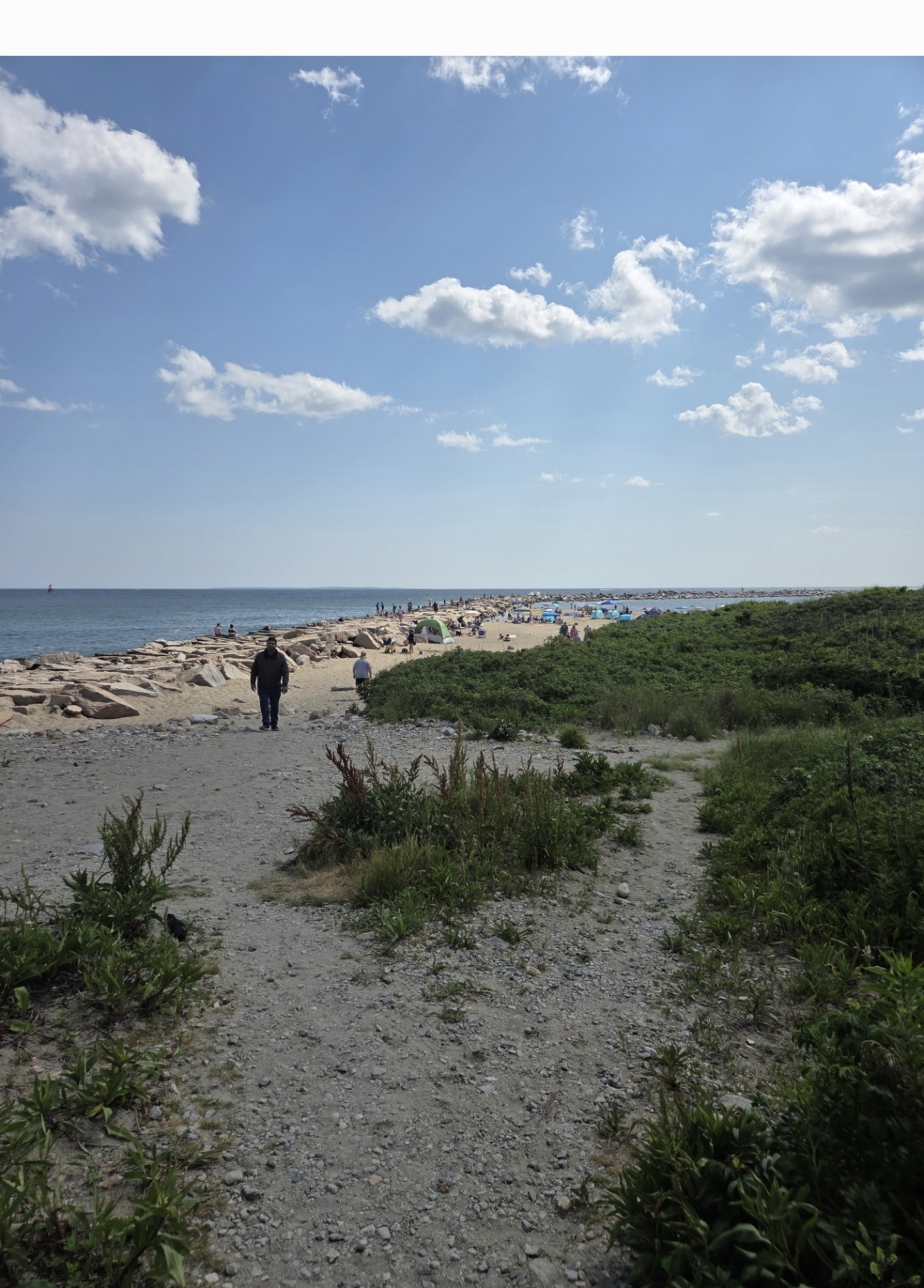
What a day out on Pt Judith fishing with my Nephew. Low 70's and a nice sea breeze.
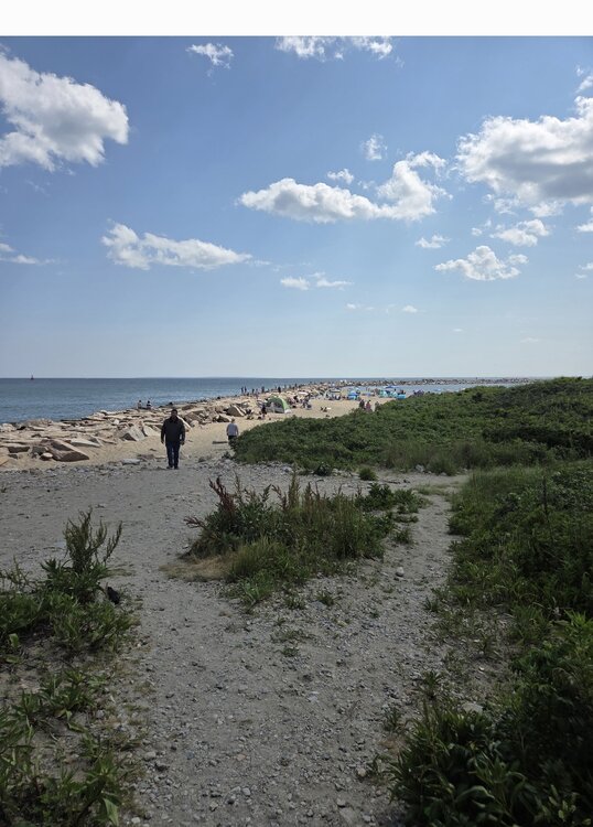
Headed to Newport (Goat Island) for a few days this month. My family loves Rhode Island.
-
5
-

July 2025 Discussion-OBS - seasonable summer variability
in New York City Metro
Posted
We are now investing in coal again. Good luck!