
TriPol
-
Posts
1,371 -
Joined
-
Last visited
Content Type
Profiles
Blogs
Forums
American Weather
Media Demo
Store
Gallery
Posts posted by TriPol
-
-
15 minutes ago, Windspeed said:
If this goes bonkers in the central Caribbean, it may leave the door open for the GOM. Upper mid-level flow would be more ESErly for a WNW track if a stronger stacked hurricane. This could be another Yucatán strike and then depending on downstream wave/trough interaction, could lift poleward. But obviously it's too early. But a weaker system would seem more likely a Nicaraguan/Honduras threat. A stronger hurricane a Belize/Yucatán/GOM threat.
Hey, let's slam another tropical system into Lousiana. I don't think they've had enough this year.
-
37 minutes ago, sferic said:
This is an elevation based event
Sent from my SM-N950U using Tapatalk
I heard the same thing in 2011.
-
Great. A 2011 redux.
-
 1
1
-
-
1 hour ago, MJO812 said:
Nice rainstorm
Models are showing this. Hopefully it stays.


As long as it doesn't rain on Halloween....
-
45 minutes ago, donsutherland1 said:
In 7 of the prior 10 cases when 2” or more snow fell on any day in October, Minneapolis wound up with normal or above normal snowfall. Only two cases were decidedly below normal.
Of those 10 other cases, how did the East Coast do with snow those years?
-
4 hours ago, wdrag said:
Good morning, Looks like some drizzle and showers have occurred NYC area early today. Suspect more coming tomorrow morning, and am not seeing a lot of sun or non marine influenced flow for our NYC area the next 2 or 3 days. Maybe Saturday for a real warm day? Nights will be very mild for sure. A dirty pattern I think.
Epsilon doing it's thing per NHC and still 3-5 members of the GEFS trying to get something going near FL around the 25th-26th-the previous NHC 10% hold there is realistic.
In the meantime...late 25th-27th... seems like we're going to be in quasi stationary baroclinic zone with a tropical connection via PWAT. Some generous precipitation anticipated ne USA... not impossible to see 1-3" in this period. For now we'll go with WPC but in a positive tilt situation...whereever the frontal boundary lays out, thats going to be the focus of decent qpf.
1-3" of what? Rain? Snow?
-
 1
1
-
2
-
 1
1
-
-
7 hours ago, SI Mailman said:
lol, 0Z GFS has the first major snowstorm of the season for the northeast from a hurricane going extratropical in 2 weeks.
NO! No snow in October!
-
2
-
-
Every 15 years or so, starting with 1995, we get a nice La Nina winter! We're due!
-
44 minutes ago, Amped said:
THe GFS and GEFS shifted closer to Florida with the Track. Most of the FL impact members are 980-1005mb which would be a TS or Cat1

Also, there is some pretty strong cape to the east of this disturbance. Likely there's going to be some impressive convective blobs which will complicate the forecast.

What does the HWRF say?
-
57 minutes ago, uncle W said:
A -4sd ao in December during a la nina or near la nina year usually means heavy snowstorm sooner or later...there are exceptions but very few...
12/13/1966 the ao goes below a -4sd...the same time NYC is getting snow and rain but NYC got 7" of snow on 12/24...
12/19/1995 the ao goes below a -4sd...the same time the city is getting an 8" snowstorm...
12/29/2000 the ao goes below a -4sd...NYC got a foot of snow the next day...
12/18/2010 the ao goes below a -5sd...NYC got 20" of snow on 12/26-27...
1950 which is another la nina year had a -4sd ao on the 27th...at the same time NYC was getting 3" of snow and the coldest temp of the winter...9 degrees...not great but it was the best part of that winter...
the two el nino Decembers I found with a -4sd are...
12/20/1963...ao was below -4sd on the 20th...NYC got 7" of snow on the 23rd...
12/21/2009...ao was almost -6sd...NYC got 11" of snow on the 19th-20th..
The AO is going lower but our temps are going higher. This is confusing.
-
You know, I'd normally say don't give us a cold autumn, but we've had warm autumns over the past few years and gotten stuck with terrible winters.
-
1
-
 1
1
-
-
What happens if Hurricane Omega runs into an Omega Block?
-
1
-
-
1 minute ago, donsutherland1 said:
1988-89 and 2000-01 are examples. The former had below normal snowfall. The latter was snowier than normal.
I remember a Norlun in Suffolk some time in mid December 1988.
-
8 minutes ago, donsutherland1 said:
The coming weekend will be unseasonably chilly. Even Central Park could see the temperature drop below 50° this weekend for the first time in September since September 24, 2013 when the temperature fell to 47°.
Tomorrow morning's low temperatures will likely be near the following values:
Albany: 36°
Allentown: 41°
Boston: 48°
Bridgeport: 49°
Harrisburg: 47°
Hartford: 42°
Islip: 48°
New York City: 50°
Newark: 49°
Philadelphia: 50°
Poughkeepsie: 40°
Providence: 46°
White Plains: 44°Generally below normal readings could persist until near the middle of next week. Afterward, temperatures will moderate. There is an increasing possibility that September could wind up on the cool side of normal, which would be an uncommon event in recent cases preceding La Niña winters. Such an outcome is not assured.
The highest rainfall from Hurricane Sally was 29.99" at Orange Beach, AL.
The ENSO Region 1+2 anomaly was -1.0°C and the Region 3.4 anomaly was -1.0°C for the week centered around September 9. For the past six weeks, the ENSO Region 1+2 anomaly has averaged -1.08°C and the ENSO Region 3.4 anomaly has averaged -0.75°C. La Niña conditions have developed and will likely prevail through the remainder of autumn.
The SOI was +17.89.
Today, the preliminary Arctic Oscillation (AO) figure was +0.407.
On September 17, the MJO was in Phase 4 at an amplitude of 1.592 (RMM). The September 16-adjusted amplitude was 1.624.
Since 1990, there have been 11 La Niña events, 6 of which followed an El Niño winter. 10/11 (91%) case saw warmer than normal September. All 6 following an El Niño winter were warmer than normal. September mean temperatures for New York City for those cases were: 11 cases: 69.9°; Subset of 6 cases: 70.8°; Entire 1990-2019 period: 69.0°. The September mean temperature for all La Niña and neutral-cool cases following an El Niño winter (1950-2019: n=13) was 69.9°.
Since 1950, there have been five cases where a La Niña developed during June-July-August or afterward following an El Niño winter. 4/5 (80%) of those cases saw a predominant EPO+/AO+ winter pattern. The most recent such case was 2016-17. 9/10 (90%) of the La Niña winters that followed an El Niño winter featured a predominantly positive EPO.
Based on sensitivity analysis applied to the latest guidance, there is an implied 49% probability that New York City will have a warmer than normal September. September will likely finish with a mean temperature near 68.1°.
Finally, on September 17, Arctic sea ice extent (JAXA) was 3.735 million square kilometers. It is likely that the summer minimum figure has been reached. That figure was 3.555 million square kilometers (JAXA), which was the second lowest minimum extent on record. 2020 is the second consecutive year with a minimum extent figure below 4.000 million square kilometers and the third such year on record.
Has there ever been a La Nina winter where the month of September winds up being below normal? If so, what was that winter like?
-
So if they retire the name Alpha, what do they replace it with?
-
Why did they even bother naming this?
-
1
-
-
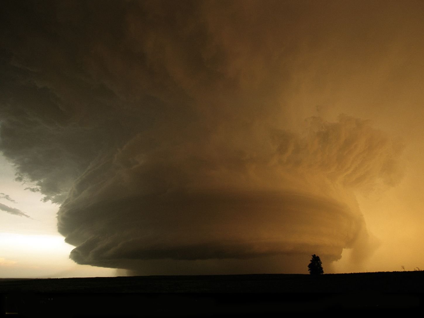
Is that a retrograding hurricane? I don't think I've ever seen something like that before hit the East Coast.
-
Could not ask for a more beautiful day outside.
-
1
-
-
Can we just nuke Sally and call it a day?
-
1
-
-
1 hour ago, the ghost of leroy said:
???
-
1
-
-
11 hours ago, Stormlover74 said:
A "cool" day that will still end up above average
That's because we're using "average" to calculate the "average" temperature. Climate is anything but "average."
-
1
-
 1
1
-
-
8 minutes ago, MJO812 said:
Weenie land

Is the 1033 high moving to the East in this? If so, that would be a nice graze on the outer banks and then a strike in the Mid Atlantic.
-
Are we done with the 90s?
-
1
-
-
Nice little thundershower here. That was a fun appetizer for the weekend.


November 2020 General Discussions & Observations Thread
in New York City Metro
Posted
Fantasy land, but still fascinating nonethless.