dj3
-
Posts
634 -
Joined
-
Last visited
Content Type
Profiles
Blogs
Forums
American Weather
Media Demo
Store
Gallery
Everything posted by dj3
-

Pittsburgh, Pa Winter 2023-24 Thread.
dj3 replied to meatwad's topic in Upstate New York/Pennsylvania
The Nam is wild. It went from no storm to being our biggest hit in 36 hours -
Pittsburgh, Pa Winter 2023-24 Thread.
dj3 replied to meatwad's topic in Upstate New York/Pennsylvania
Wondering if we sacrifice a stronger storm Tuesday to bomb out and reinforce NAO block next week. Potent shortwave into the TV/OV with the transfer to coast.. Sorta like what was depicted for tomorrow. -
Pittsburgh, Pa Winter 2023-24 Thread.
dj3 replied to meatwad's topic in Upstate New York/Pennsylvania
Haha I despise playing in the winter so even if it was warm enough I probably wouldn't. I'd like a snowy Dec-Feb then it can flip the switch and March and we're on to golf season. That never seems to happen lately though. I remember playing at Totter Ridge memorial day weekend a few years back and it was in the 40s in the afternoon. Hands were numb and could barely hold on to the club. -
Pittsburgh, Pa Winter 2023-24 Thread.
dj3 replied to meatwad's topic in Upstate New York/Pennsylvania
I think it is because we are far enough away from the low on the coast where our precipitation is light. Some of the big hits it showed a few days back I would guess were all snow and actually colder due to the heavier rates aiding in dynamic cooling. -
Pittsburgh, Pa Winter 2023-24 Thread.
dj3 replied to meatwad's topic in Upstate New York/Pennsylvania
Will be interesting to see how the 1/9 and 1/14 threats play out. Morale will be low in here if those both trend the midwest primary lows stronger leading to slop while this Saturday's OH valley low essentially disentegrated leaving us out of the snow it had advertised with the primary and transfer. -
Pittsburgh, Pa Winter 2023-24 Thread.
dj3 replied to meatwad's topic in Upstate New York/Pennsylvania
That trailing wave is a PITA. Unfortunately, I don't know if that will disappear now that it seems to be trending stronger/faster on everything. -
Pittsburgh, Pa Winter 2023-24 Thread.
dj3 replied to meatwad's topic in Upstate New York/Pennsylvania
Seems like the long range look past day 10 or so looks promising as many others have mentioned. -
Pittsburgh, Pa Winter 2023-24 Thread.
dj3 replied to meatwad's topic in Upstate New York/Pennsylvania
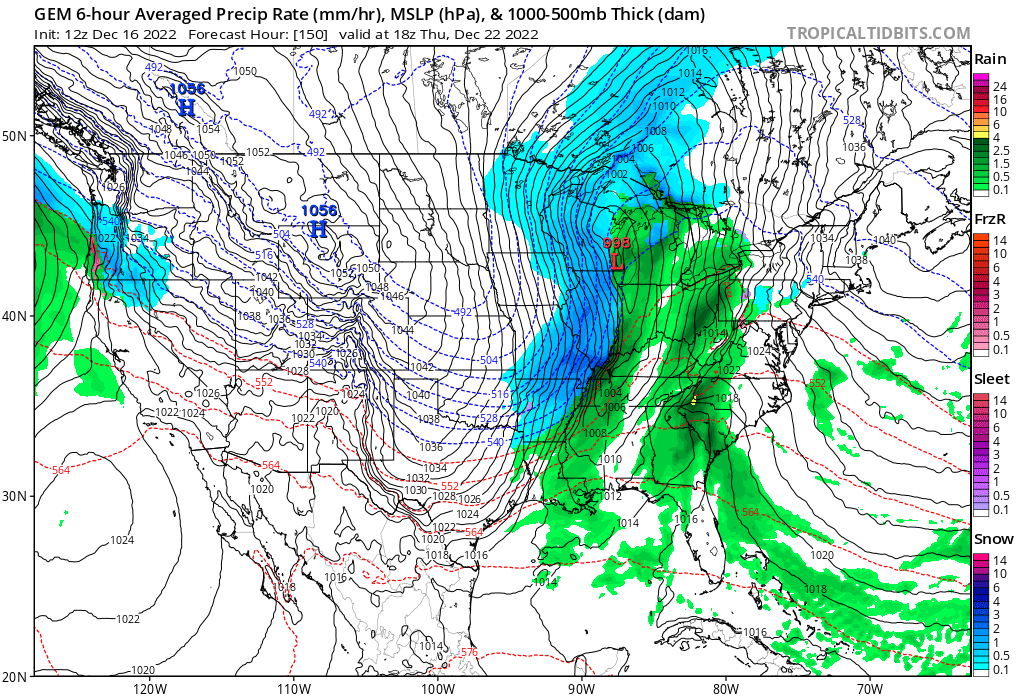
Faster flow, less spacing, and a weaker wave overall. This was a much slower moving system with long duration potential not that long ago. From this To this.. Maybe the interaction with the wave behind it trends less and our main shortwave can amp back up in future runs. If not nothing wrong with a moderate event to get us on the board. -
Pittsburgh, Pa Winter 2023-24 Thread.
dj3 replied to meatwad's topic in Upstate New York/Pennsylvania
If not for mitch being #2, Mason probably wins at least 1/3 vs Arizona, Pats, and Indy and we would already be in at this point. I don't love our chances if it is a slop game in Baltimore with their rushing attack, even if it is backups. Besides the Steelers, I'd prefer a saturday storm. -
Pittsburgh, Pa Winter 2023-24 Thread.
dj3 replied to meatwad's topic in Upstate New York/Pennsylvania
This storm has really sped up on the models the last 36-48 hours. I was originally thinking when they flexed the steelers to 430 Sat the game would be over before the storm got cranking. We're looking at a mostly saturday show now. 12z looks good so far fingers crossed while waiting on EURO -
Pittsburgh, Pa Winter 2023-24 Thread.
dj3 replied to meatwad's topic in Upstate New York/Pennsylvania
We have not had a single storm that was trackable this winter so far. I will gladly take the last 24-36 hours where there is actually something to look at regardless of what we end up with. Anything beats weeks and weeks of pattern talk. -
The trend needed to stop 3 runs ago. Let’s hope we get fringed south until Sunday evening
-
I’m too lazy to look up the numbers but I remember February 09 had a crazy warm spell. Either way this winter has been dogsh*t. Probably the least fun in the 2 years I’ve been tracking. We’ll get an above normal winter again.. probably soon.. climate change is real and none of us will be alive at a point where the snowfall amount this winter is considered “normal”. See you guys next fall.
-
At the in-laws in Johnstown for the rest of the week so figured I’d pop in this thread. Picked up over an inch already this morning
-
At least our epic pattern is breaking down the day after Christmas. Melt complete
-
It is crazy that people way smarter than me don’t see what’s happening. Last cutter was modeled to have some snow behind. Maybe we get what we got last night. That’s a huge disappointment
-
Good luck with the wrap around
-
Yea that works out almost never with snow on the back end. Christmas a few years ago is the only one that comes to mind recently where there was actually appreciable snow when the front moved through and I believe there was a wave moving along the boundary which helped. I’d bet on brown ground unless this shifts significantly east.
-
That was predictable. The optimist in me says this won’t be a coastal but maybe won’t be a huge cutter so I think we’re in better shape than I-95
-
Don't worry at 18z the GFS will probably jackpot us as it begins to cave to the other models.
-
I'm thinking that low that moves through the lakes Monday/Tuesday on the GFS is important in keeping the heights lower out ahead of our storm?
-
CMC looks like the ICON.

-
I think it is viewed as worse than the other models. GFS looks like its gonna be a beatdown.
-
Euro Verbatim is pretty good for us. What we don't want is the Euro to show that frontal passage look it was a few days ago.. which the ICON just did lol.
-
Depends on the angle it approaches. If it is negatively tilted and backs into eastern pa on a nw trajectory I doubt we’d mix. The Euro shows something similar to this. Gfs is more progressive and further off shore moving ne.