dj3
-
Posts
634 -
Joined
-
Last visited
Content Type
Profiles
Blogs
Forums
American Weather
Media Demo
Store
Gallery
Everything posted by dj3
-

Pittsburgh, Pa Winter 2023-24 Thread.
dj3 replied to meatwad's topic in Upstate New York/Pennsylvania
@KPITSnowignore the gulf tap we got a clipper -
Pittsburgh, Pa Winter 2023-24 Thread.
dj3 replied to meatwad's topic in Upstate New York/Pennsylvania
5 inches in oakmont. Hope everyone enjoys -
Pittsburgh/Western PA Banter & Complaint Thread
dj3 replied to blackngoldrules's topic in Upstate New York/Pennsylvania
And its a recurring theme these past 2 winters. This isn't the only time its been a 1 glance per day at models, nothing happening, shut the blinds period. Wasn't December pretty similar for the most part? -
Pittsburgh/Western PA Banter & Complaint Thread
dj3 replied to blackngoldrules's topic in Upstate New York/Pennsylvania
Anecdotal I'm sure but these last 2 winters seem so bad from a tracking perspective. I can't seem to recall ones this bad where its literally weeks at a time with nothing remotely trackable. Maybe going back to what KPIT mentioned as far as the slop storms being less numerous has some merit into the trackability aspect. I can recall years back where we would be tracking and eventually go from a few runs jacking us to a few messy inches. At least we were tracking for several days in those cases though. This is just brutal. -
Lake Effect Event-Buffalo Bills Playoff Game Impacts
dj3 replied to BuffaloWeather's topic in Upstate New York/Pennsylvania
https://x.com/barstoolsports/status/1746609253832344007?s=46&t=PQhvtES1jnuHEjACqYgYmw Looks dangerous. Seems like a simple situation in stay home if you don’t feel safe. -
Lake Effect Event-Buffalo Bills Playoff Game Impacts
dj3 replied to BuffaloWeather's topic in Upstate New York/Pennsylvania
I may have missed but every LES outbreak has happened to not coincide with a sporting event? I honestly have no clue but considering Buffalo Climo seems super rare. -
Lake Effect Event-Buffalo Bills Playoff Game Impacts
dj3 replied to BuffaloWeather's topic in Upstate New York/Pennsylvania
Play every game in a controlled environment which is the way sports are moving to anyway. Better than lying about snow hitting peoples face so hard that it’s dangerous like the local news is saying. -
Lake Effect Event-Buffalo Bills Playoff Game Impacts
dj3 replied to BuffaloWeather's topic in Upstate New York/Pennsylvania
Prayers for the sabres fans that made it to the game. It’s a joke they rescheduled. Say you got caught with your pants down where you hung the total and don’t want to risk a good team (Buffalo) getting knocked out in a shit show of a game. -
Pittsburgh, Pa Winter 2023-24 Thread.
dj3 replied to meatwad's topic in Upstate New York/Pennsylvania
Awful. What a horrible waste. 2 cutters and everything after out to sea until our mild up. -
Pittsburgh, Pa Winter 2023-24 Thread.
dj3 replied to meatwad's topic in Upstate New York/Pennsylvania
I'd prefer we trend in the direction of a more potent southern stream short wave for the 19-20th threat. We don't typically do well with Miller B's, those usually slam northeast of us. Overall, if we get minor accumulations from Tuesday and Friday I'll be pretty disappointed in wasting this NAO period without a big storm. I know that probably ruins the positive vibes from Today but I would think a NINO with a strong NAO block would be one of our best patters to cash in. -
Pittsburgh, Pa Winter 2023-24 Thread.
dj3 replied to meatwad's topic in Upstate New York/Pennsylvania
No precipitation after the 2 monster cutter rainstorms this week would be cruel. But it has been consistently shown as an option with the PV dropping in and suppressing the STJ. -
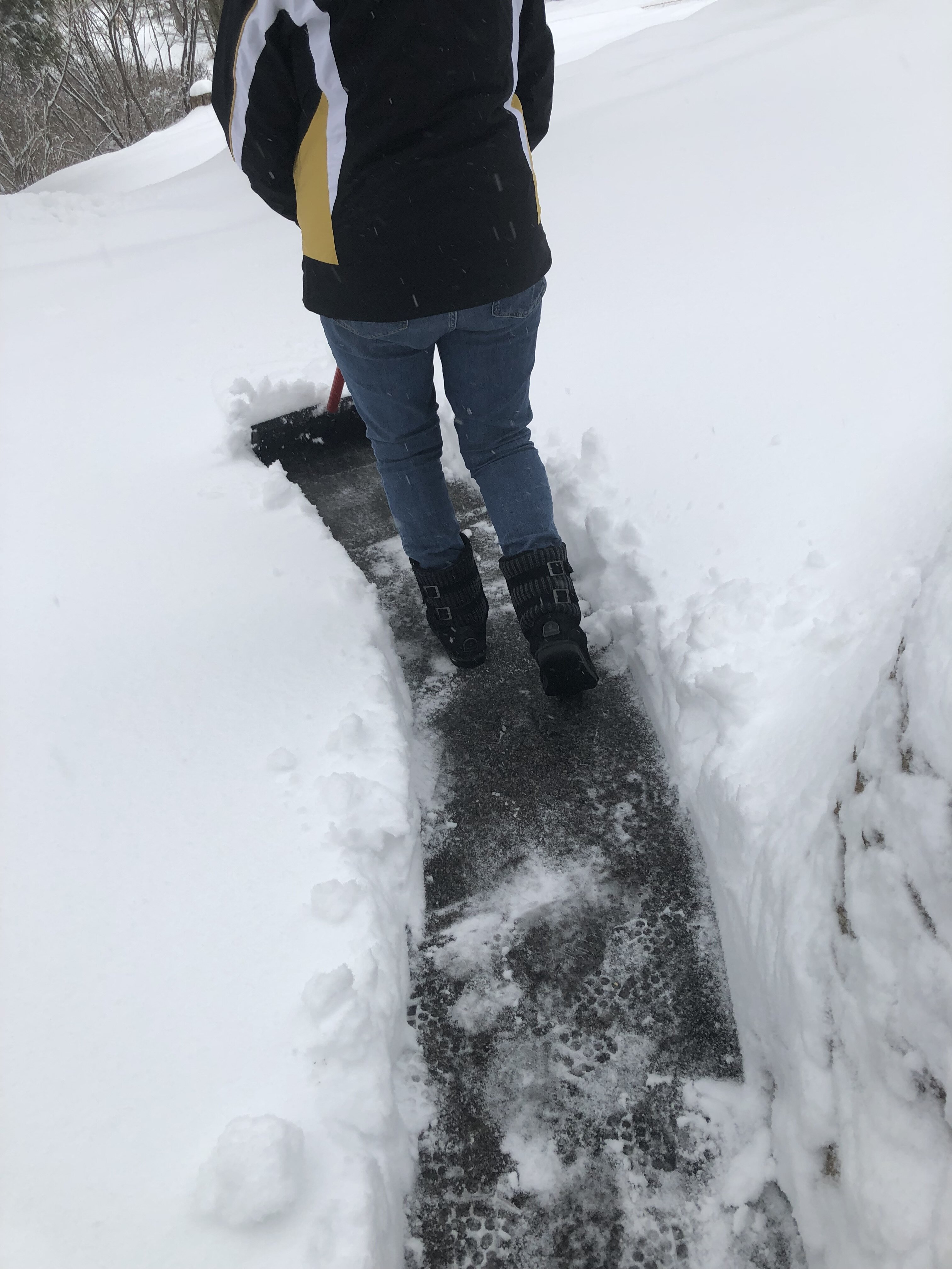
My in laws in Johnstown are saying they have around 7 inches new. Sounds like this was pretty unexpected up that way? Either way nice to see some central PA brethren cash in. Slushy mess down in Pittsburgh early this AM but been all rain since 8 or so.
-
Pittsburgh, Pa Winter 2023-24 Thread.
dj3 replied to meatwad's topic in Upstate New York/Pennsylvania
It may depend on rates. If it starts lighter maybe a mix until heavier returns move in. We will see shortly I guess. -
Pittsburgh, Pa Winter 2023-24 Thread.
dj3 replied to meatwad's topic in Upstate New York/Pennsylvania
Interested to see if we start as snow or a mix. 30 here currently -
Pittsburgh, Pa Winter 2023-24 Thread.
dj3 replied to meatwad's topic in Upstate New York/Pennsylvania
That’s a good lake effect spot. Now I’m questioning you’re dedication to snow -
Pittsburgh, Pa Winter 2023-24 Thread.
dj3 replied to meatwad's topic in Upstate New York/Pennsylvania
I contemplated heading to the in laws in Johnstown earlier in the week. They’re in a much better spot but when the storm fizzled it didn’t seem like it was worth it. I think elevation will do well in this. -
Pittsburgh/Western PA Banter & Complaint Thread
dj3 replied to blackngoldrules's topic in Upstate New York/Pennsylvania
It’s a love hate relationship. All will be well when we cash in. -
Pittsburgh, Pa Winter 2023-24 Thread.
dj3 replied to meatwad's topic in Upstate New York/Pennsylvania
Yea the 3k looks fine -
Pittsburgh, Pa Winter 2023-24 Thread.
dj3 replied to meatwad's topic in Upstate New York/Pennsylvania
I know, I get his frustration but also think he’s being partially trolling. He’s a smart dude. Imagine being DC (whom he and Kpit hate) they went from a MECS to no chance. We’re bitching about riding the mix line on the short range models and regardless will still see some amount of snow -
Pittsburgh, Pa Winter 2023-24 Thread.
dj3 replied to meatwad's topic in Upstate New York/Pennsylvania
We’ll be ok. The pattern looks good afterwards. I’ll be surprised if we don’t get to 30-35 by end of February -
Pittsburgh, Pa Winter 2023-24 Thread.
dj3 replied to meatwad's topic in Upstate New York/Pennsylvania
I agree. I love early snow also. I’d prefer us to rake in December and January. Let’s take what we can get tomorrow and hope the PV dropping west of where the mid Atlantic prefers lets us cash in on something. -
Pittsburgh, Pa Winter 2023-24 Thread.
dj3 replied to meatwad's topic in Upstate New York/Pennsylvania
And I don’t really disagree with you. Every time we’ve have a cutter this winter there’s a northwest flow behind the system and I’m getting snizzle instead of snow. It’s annoying. -
Pittsburgh, Pa Winter 2023-24 Thread.
dj3 replied to meatwad's topic in Upstate New York/Pennsylvania
The storm is a POS compared to what was modeled 5 days ago. It would be a POS shit now or in 1992. -
Pittsburgh, Pa Winter 2023-24 Thread.
dj3 replied to meatwad's topic in Upstate New York/Pennsylvania
I think we’ll get several hours of moderate snow tomorrow. If it is too warm to stick who cares. Let’s just try to get some snow flying -
Pittsburgh, Pa Winter 2023-24 Thread.
dj3 replied to meatwad's topic in Upstate New York/Pennsylvania
Would you relax and wait til tomorrow morning